Pete's Walks - Great Kimble, Green Hailey, Buckmoorend (page 1 of 3)
If you are considering walking this route yourself, please see my disclaimer. You may also like to see these notes about the maps and GPX files.
I did this circular walk of about 7 miles on Saturday, 12th March 2022. It was a new route for me, with three short sections that were on paths I'd never walked before.
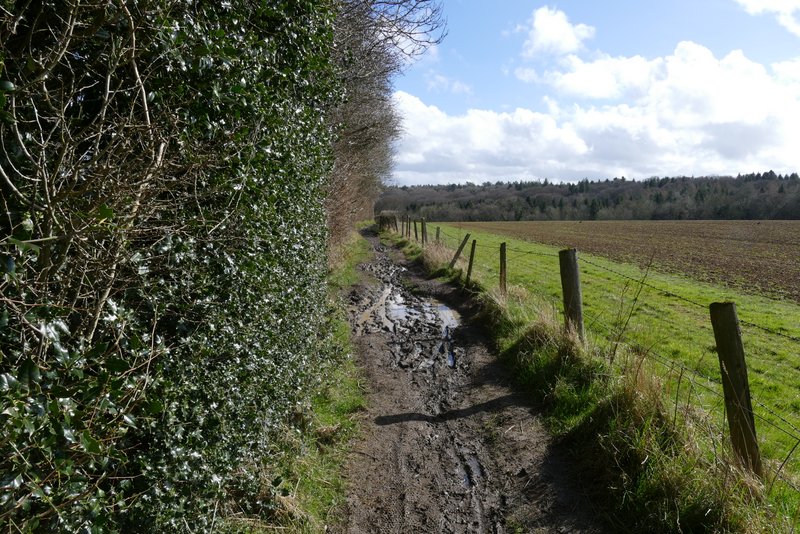
I parked in the layby at Great Kimble (Grid Reference SP 825058) - the layby is just south of the church, on the other side of the road. I started walking about 11.40am (a very late start!), following the road southwest (toward Monks Risborough), this initial section of the walk being new to me. After about a quarter of a mile I turned left onto a bridleway, immediately coming to a junction where a byway went half-right (the sign next to it confusingly said 'Bridleway'). But I needed to go straight on along the bridleway, initially following a surfaced drive. Beyond a couple of properties the bridleway became a track, continuing southeast and very gently rising uphill. After a few hundred yard the bridleway crossed the Ridgeway national trail. As I continued straight on, I was back in familiar territory having walked this section of the bridleway a few times before. The bridleway continued southeast, and gently uphill, now passing the southern flank of Pulpit Hill on my left (and initially the Grangelands and Pulpit Hill nature reserve on my right).
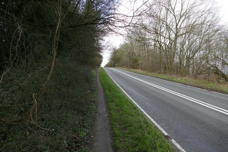
The path beside the road, heading southwest from Great Kimble
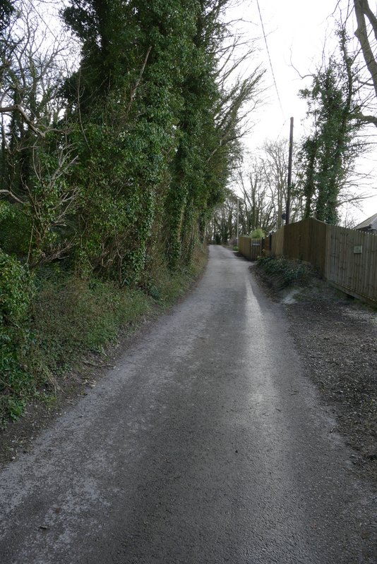
Near the start of the bridleway heading southeast from Great Kimble
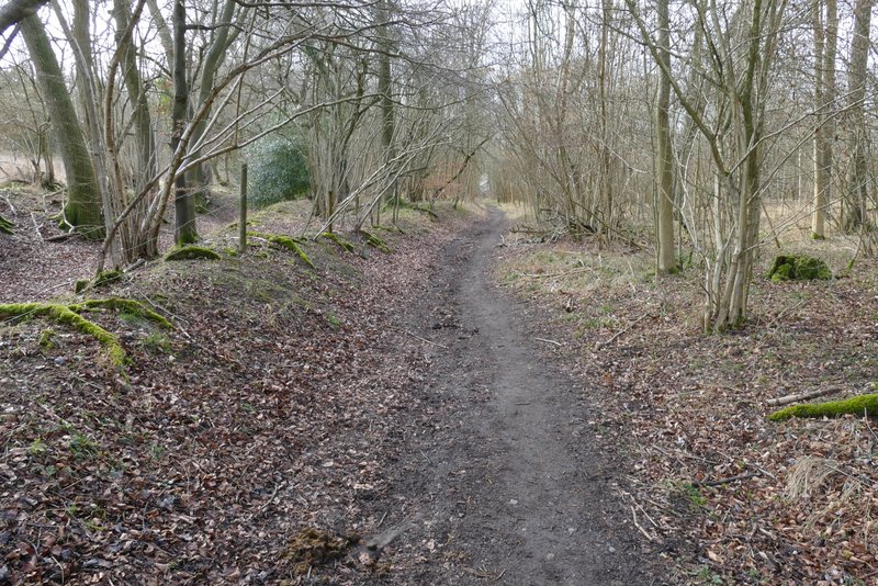
The bridleway heading southeast from Great Kimble
The bridleway heading southeast from Great Kimble/p>
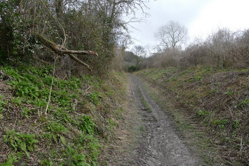
The bridleway heading southeast from Great Kimble
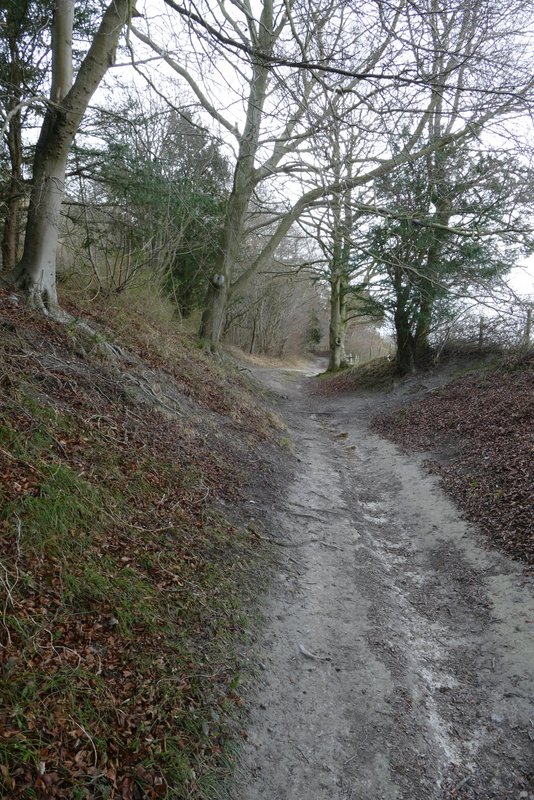
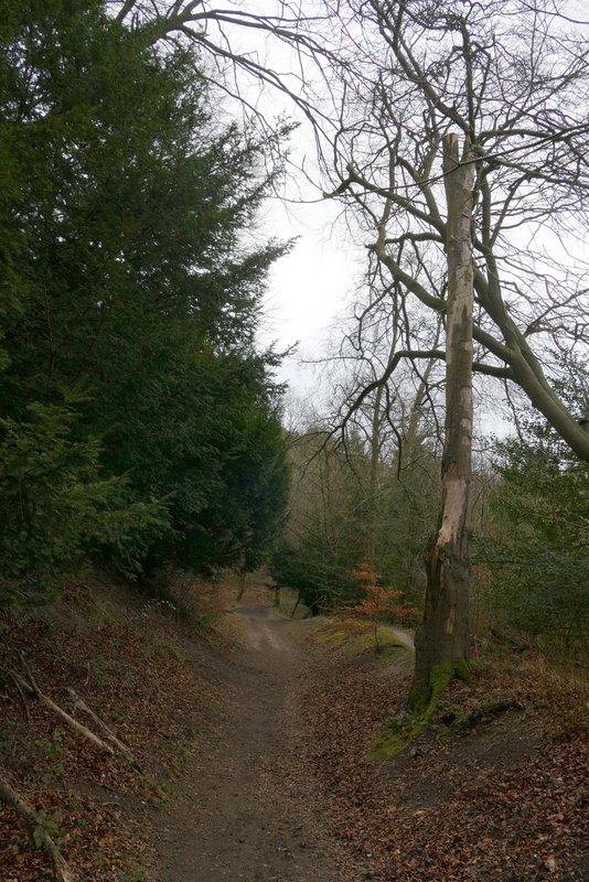
The bridleway heading southeast from Great Kimble, where it crosses the Ridgeway national trail
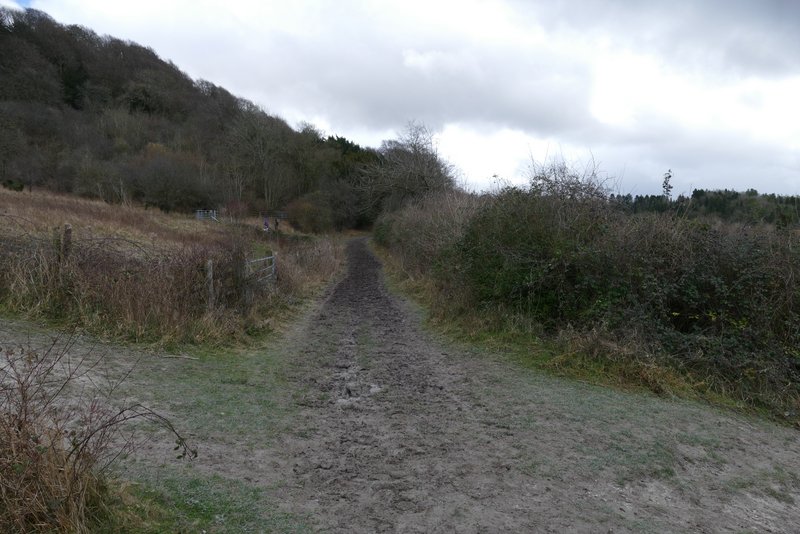
The bridleway continuing past Pulpit Hill
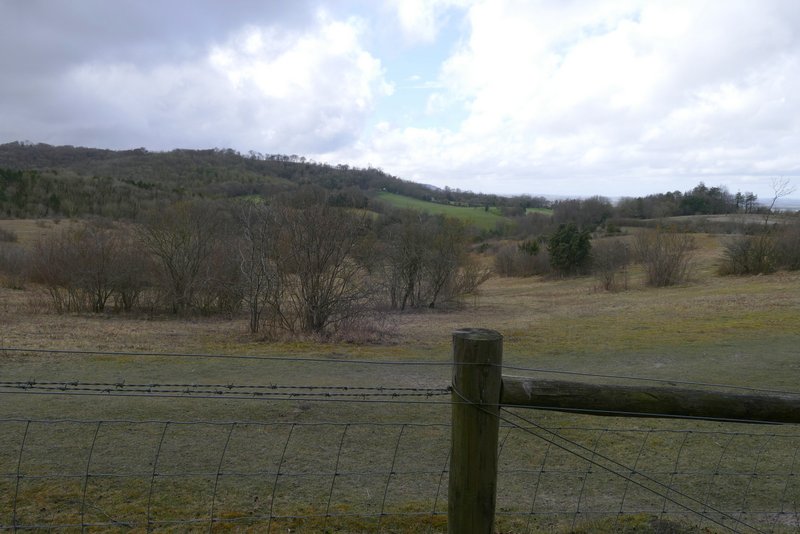
View right over the 'Grangelands and Pulpit Hill' nature reserve, towards Whiteleaf Hill
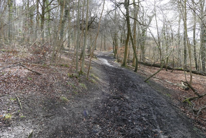
The bridleway continuing past Pulpit Hill
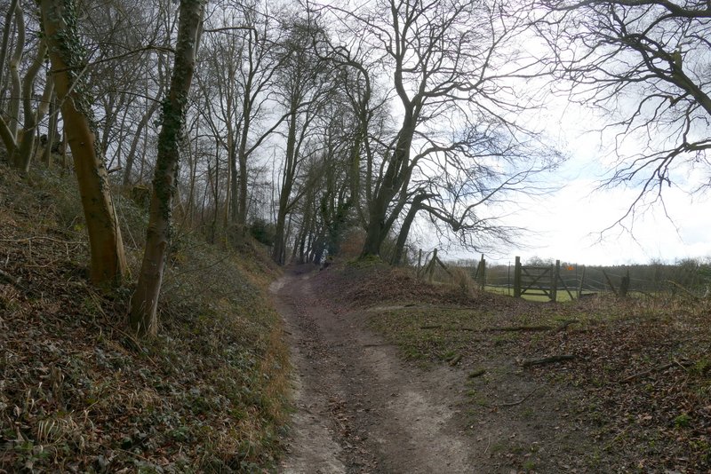
The bridleway continuing past Pulpit Hill
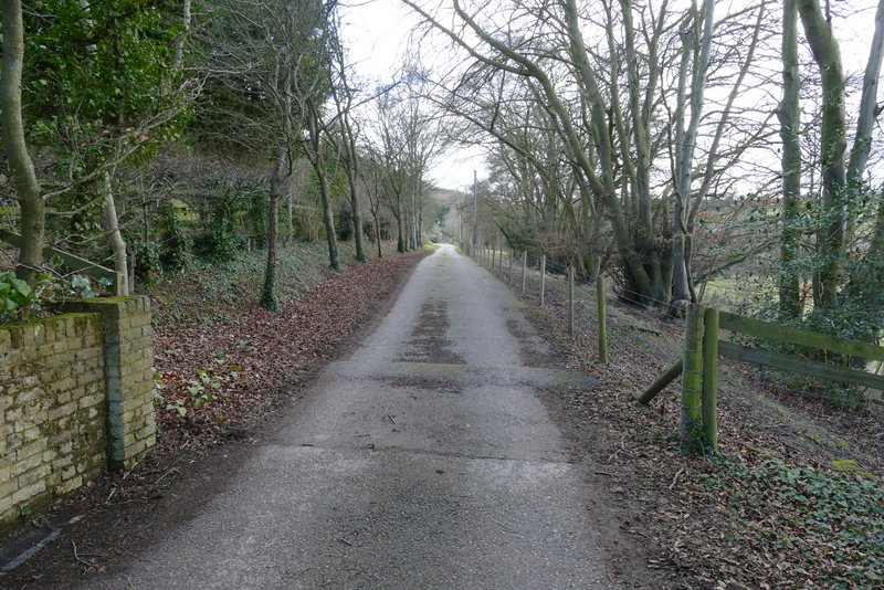
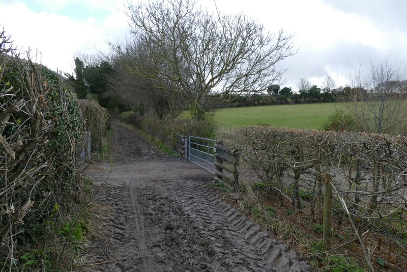
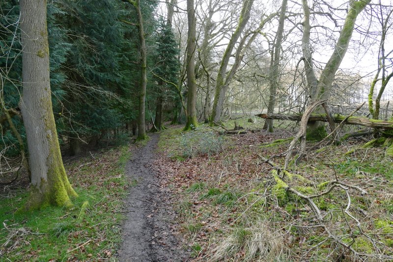
When the bridleway reached a small car park, I crossed a road and continued down another bridleway, initially between hedges but then with Ninn Wood to my right. I went straight on where a footpath crossed the bridleway, and then had a small slither of the wood to my left. After a few hundred yards there was a slightly staggered junction, where I had to go right a few yards and then go left to continue in the same southwesterly direction as before. The bridleway was now roughly following the boundary between Ninn Wood on my right and Sergeant's Wood on my left. When I came close to a field corner on my right, I carried straight on, now just inside Sergeant's Wood. On leaving the wood and reaching a path crossroads I turned left, following a bridleway beside the wood. I was a little concerned as this bridleway can be almost impossibly muddy at times (when you have to shimmy alongside a barbed wire fence to avoid large puddles), but there was only one large puddle today and I managed to get past it without getting my feet wet. Immediately after the end of the field on my right, I turned right onto a path just inside Kingsfield Wood, with the same field still just to my right.
The bridleway going south towards Ninn Wood
The bridleway going south past Ninn Wood
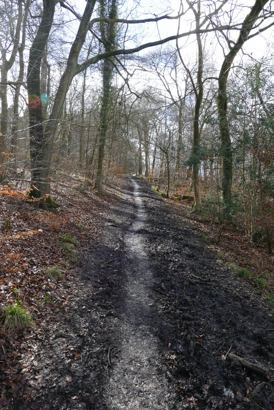
The same bridleway continuing southwest through Ninn Wood
The same bridleway continuing southwest
The same bridleway, now with Sergeant's Wood to the left
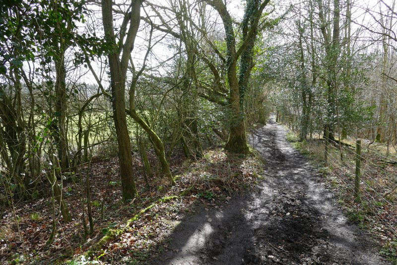
The bridleway continuing through Sergeant's Wood
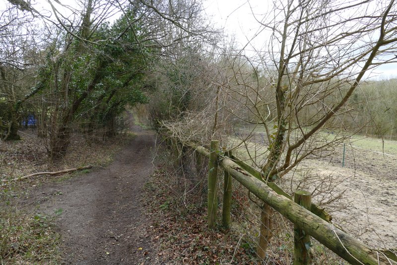
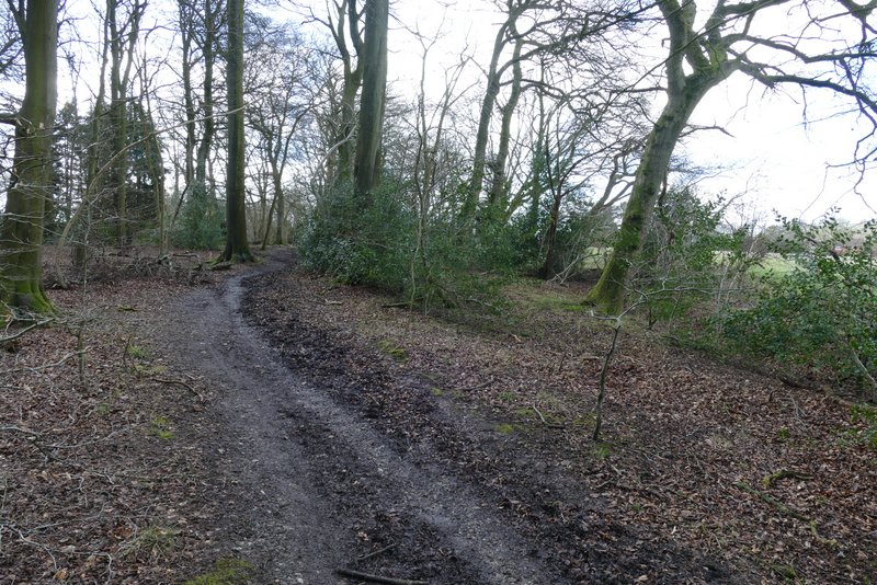
The bridleway after I turned left, running alongside Sergeant's Wood
The footpath after I turned right, heading towards Green Hailey