Pete's Walks - Great Kimble, Green Hailey, Buckmoorend (page 2 of 3)
If you are considering walking this route yourself, please see my disclaimer. You may also like to see these notes about the maps and GPX files.
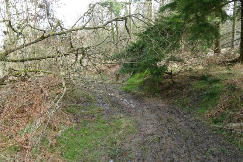
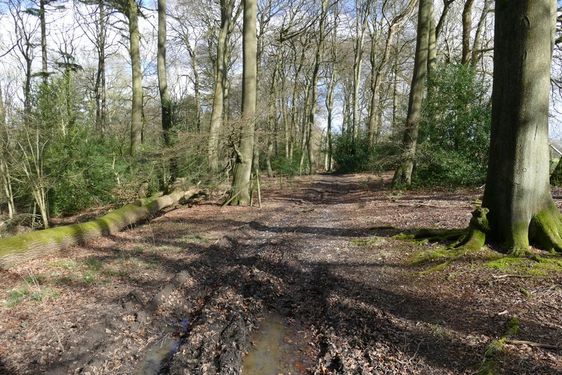
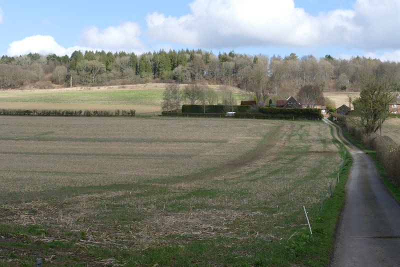
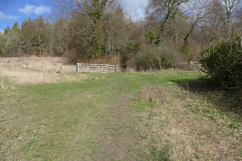
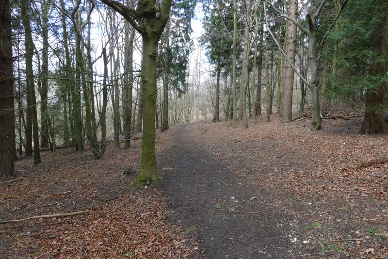
Just before reaching the garden of a property in the hamlet of Green Hailey, I saw a path going left. This was a few yards before a finger-post in the corner of the garden indicated a path junction. I checked that there wasn't a path going left there, and then took the path I'd seen, heading through Kingsfield Wood. This was a new path for me, and in fact the purpose of this route was to enable me to walk this path. After a short distance I came to a crossing track, where the footpath went a few yards right along the track and then turned left. The footpath soon became quite broad, but it was very muddy, quite waterlogged in fact, with lots of footprints that had become puddles. After a while the path turned right, and then curved left around the end of a small valley. The path then came to a track, coming in from the right, where I went a few yards to the left and then turned right when the path ended at a crossing bridleway (though the track carries on - this junction didn't seem to be signposted, but the bridleway coming in from the left is quite clear, it is just a few yards after the path joins the track).
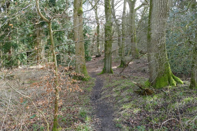
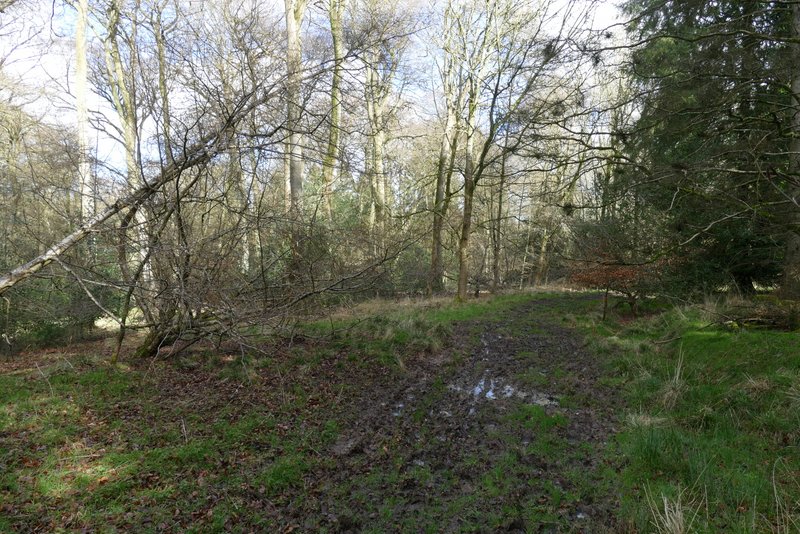
The start of the footpath from Green Hailey, through Kingsfield Wood
The footpath from Green Hailey, through Kingsfield Wood
The footpath from Green Hailey, through Kingsfield Wood
The footpath from Green Hailey, through Kingsfield Wood
The footpath from Green Hailey, through Kingsfield Wood
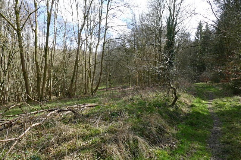
The footpath from Green Hailey, through Kingsfield Wood
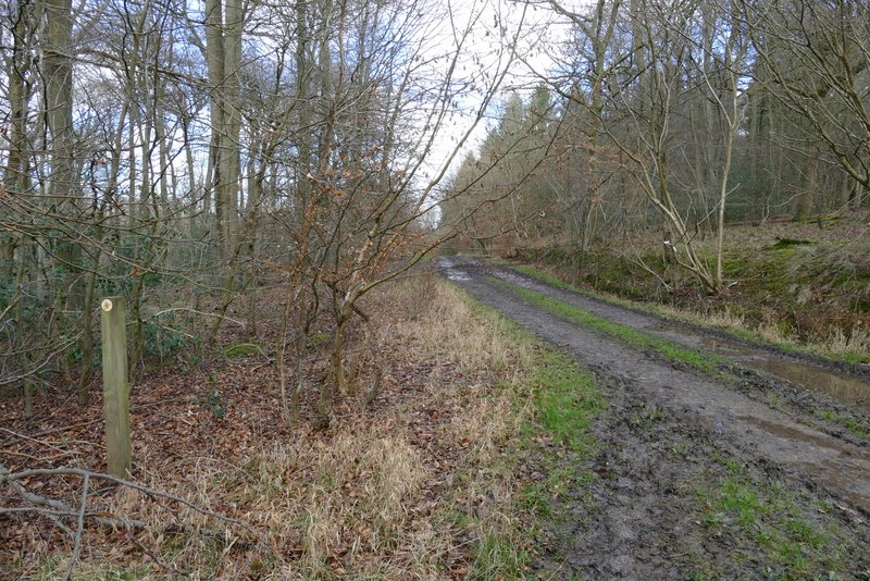
The footpath from Green Hailey, through Kingsfield Wood (where it joins a track immediately before I tuned right onto a bridleway that crosses the track)
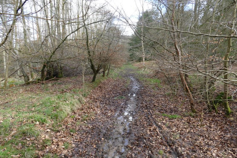
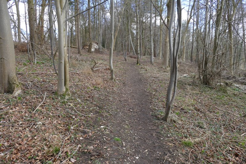
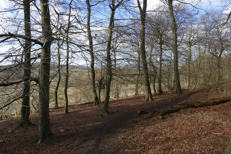
The bridleway (which I'd walked a few times before) headed eastward through Knighton's Hill Wood. After a few hundred yards I reached a muddy junction where I turned left onto a footpath. This soon had a field close by on my right. The path then turned left and dropped downhill through the wood, before levelling out and reaching a path junction at a bend in the drive to Solinger House.
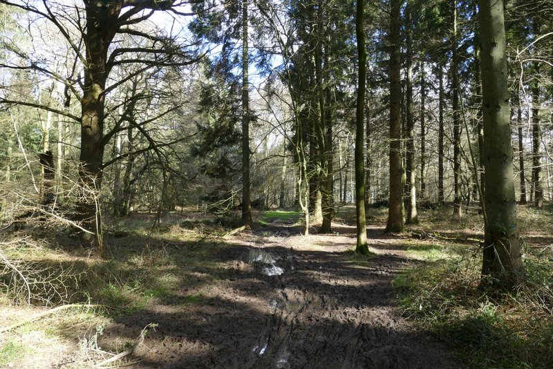
The bridleway through Kingsfield Wood after I turned right
The bridleway through Knighton's Hill Wood after I turned left
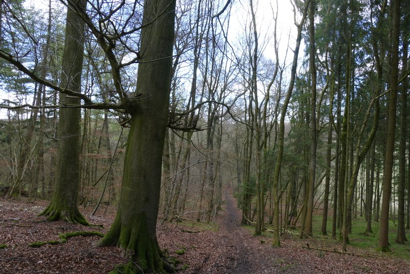
The bridleway through Knighton's Hill Wood
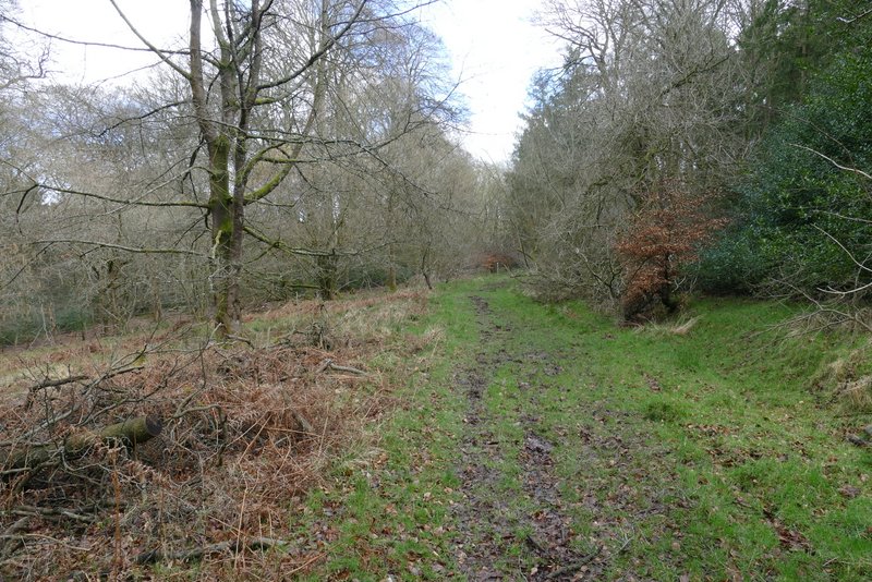
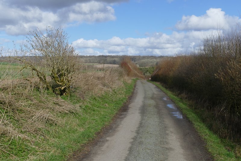
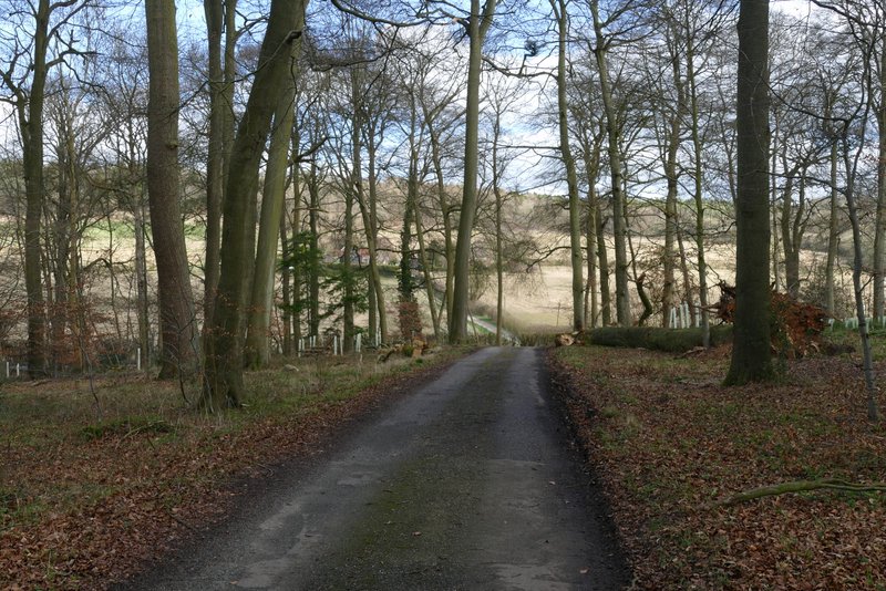
I turned right and followed the drive away from Solinger House. After about half a mile it ended at a road, where I crossed over and continued down a drive towards two properties (the OS map says Dirtywood Farm, the sign at the start of the drive says Hampden Chase). I then took the permissive path following a garden hedge round to the left of the properties, before the footpath continued by a hedge on my right to reach Widnell Wood. A little way into the wood, the path forked right from a track (a yellow arrow on a tree showed the way) and headed fairly gently uphill through the wood. I soon reached the next path junction, where I turned sharply left. This path ran fairly level through the wood, and then very gradually lost height.
The drive from Solinger House
Reaching the end of the drive from Solinger House
The drive to Dirtywood Farm (and Hampden Chase)
Approaching Widnell Wood
The path in Widnell Wood
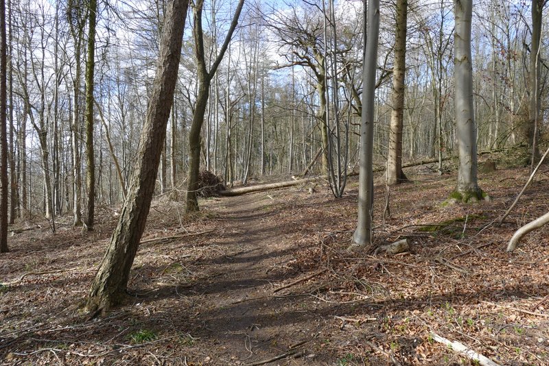
The path in Widnell Wood, after I turned sharp left
Further along the same path
Further along the same path