Pete's Walks- Maidensgrove Common and Crocker End (page 1 of 4)
If you are considering walking this route yourself, please see my disclaimer. You may also like to see these notes about the maps and GPX files.
I did this 5.8 mile walk on Saturday, 30th April 2022. It was a new route for me, but apart from a short byway in Warburg nature reserve it was all on paths I'd walked before on other routes.
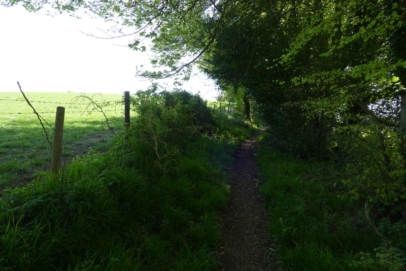
I parked along the lane that crosses Maidensgrove Common (Grid Reference SU717886), close to Maidensgrove, and started walking about 11.45am (an advantage of doing shorter walks is that I can set off from home much later). I followed the lane across the common (with the much larger part of the common to my right), and when the lane turned right I went left. A clear path followed the edge of the common, then joined a short track that led on to a lane, where I turned right. Shortly before the lane ended at Lodge Farm, I took a byway on the right by a small area of grass (I can't remember if the finger-post said byway or bridleway, but the OS map shows it as a byway). This ran southwards between a hedge on my left and a wood (Maidengrove Scrubs) sloping down on my right (part of Warburg nature reserve).
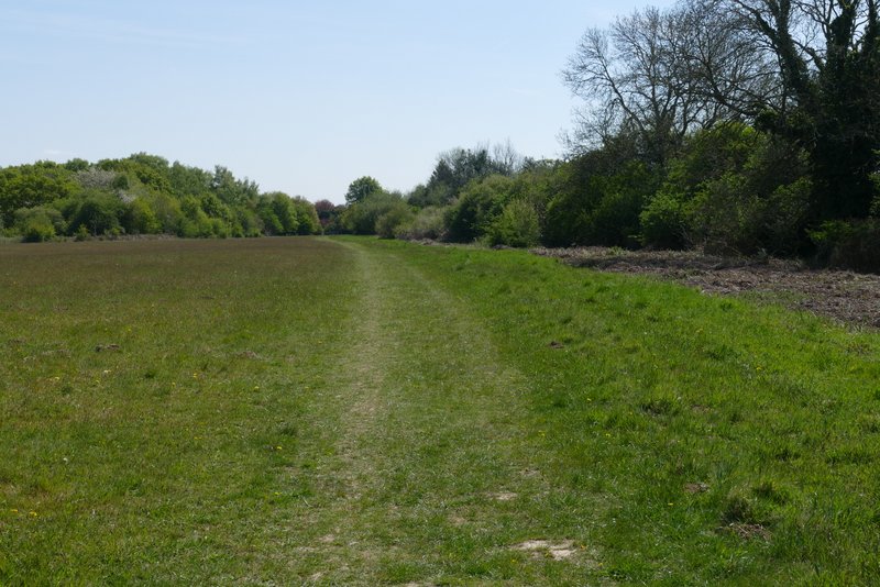
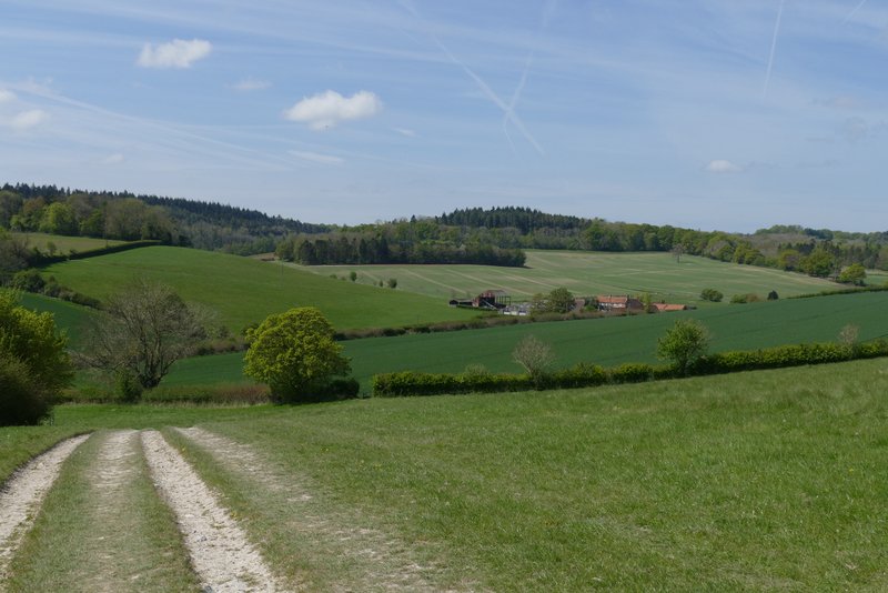
Near the start of the walk, on Maidensgrove Common
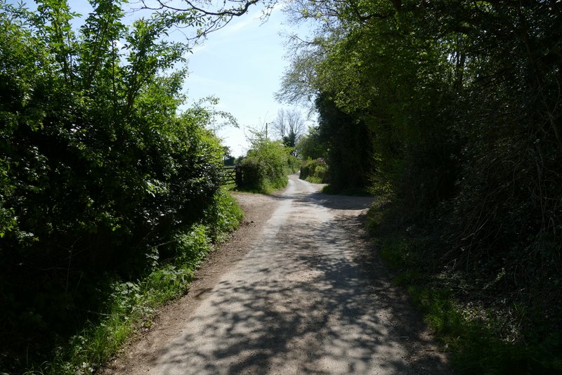
The lane in Maidensgrove
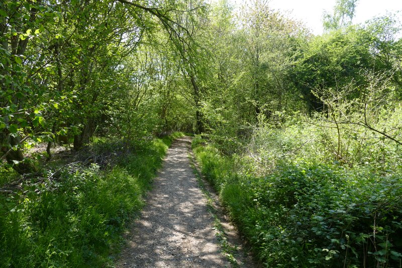
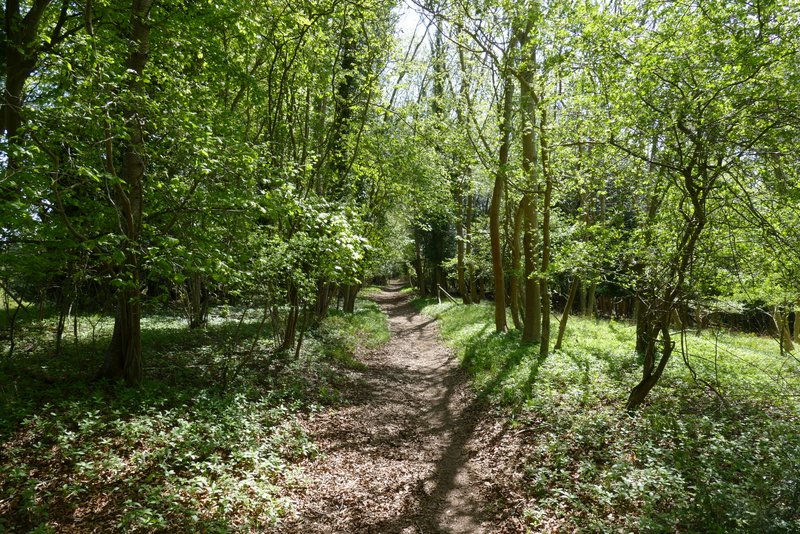
The byway going south from near Lodge Farm
The byway going south from near Lodge Farm
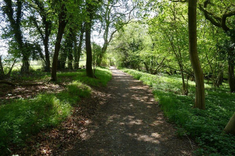
The byway going south from near Lodge Farm
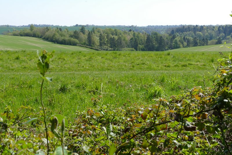
View left from the byway going south from near Lodge Farm
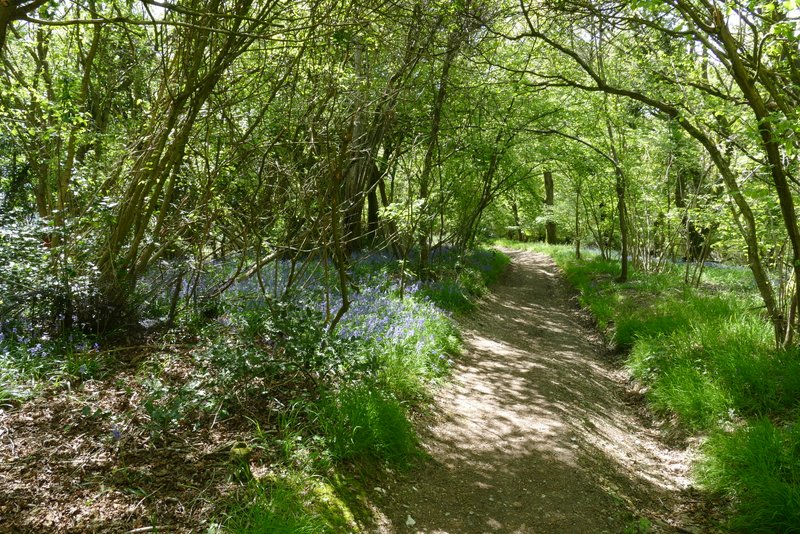
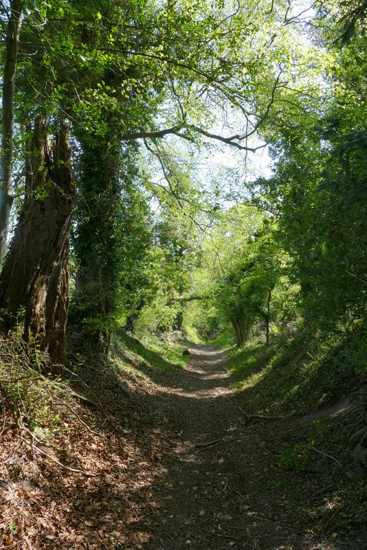
After almost half a mile I came to a fork where I kept left - the byway was now named Warmscombe Lane on the OS map, and this was the first time I'd walked it in this direction. Again the byway ran between a hedge and a wood on my right, this wood having the rather intriguing name of Freedom Wood. Once the wood ended there were hedges either side, and after a while I had occasional views of the old church of St James in the valley of Bix Bottom, down to my right. There were four or five trees that had come down (presumably during the spell of three storms in about a week earlier this year), including a mature beech tree that hadn't toppled completely but was lying at an angle of about 45 degrees, propped up by a similar tree. The byway was heading southeast, and after passing the old church down in the valley started to drop downhill. About a mile from the fork I reached a farm track by a gate, where I turned right onto a footpath along the track (Warmscombe Lane ended just a few yards to the left along the track, at the minor road through the Stonor valley).
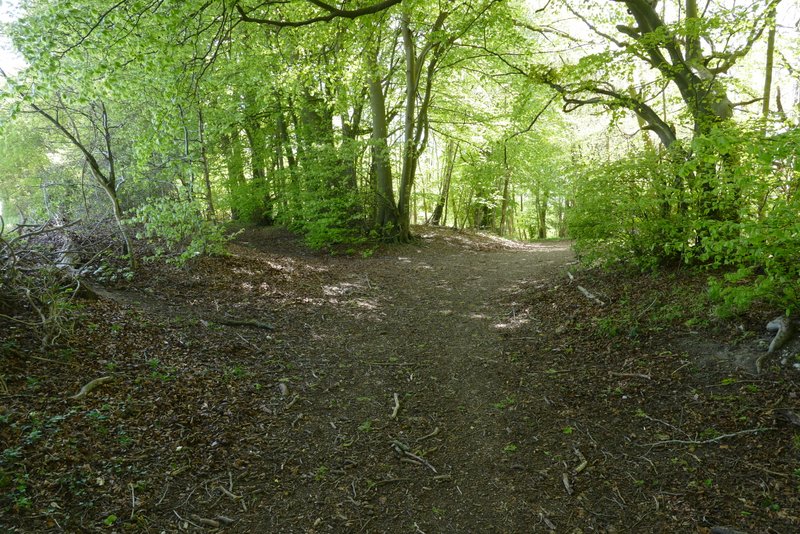
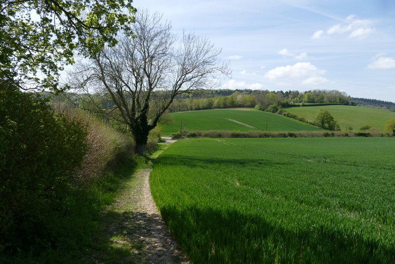
Where I forked left into Warmscombe Lane
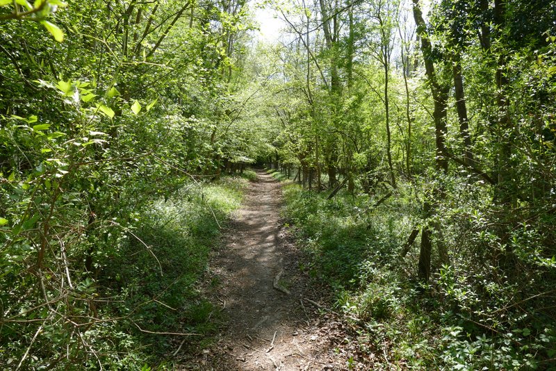
Warmscombe Lane
Warmscombe Lane
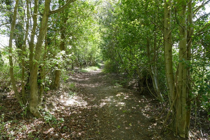
Warmscombe Lane
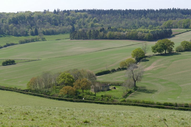
View right from Warmscombe Lane, down to the old church in Bix Bottom (I would be walking along the track next to the hedgerow later on)
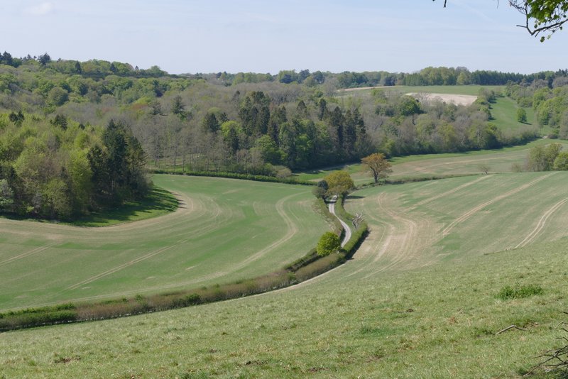
View further right, along the lane heading to the Warburg nature reserve
Warmscombe Lane
Warmscombe Lane
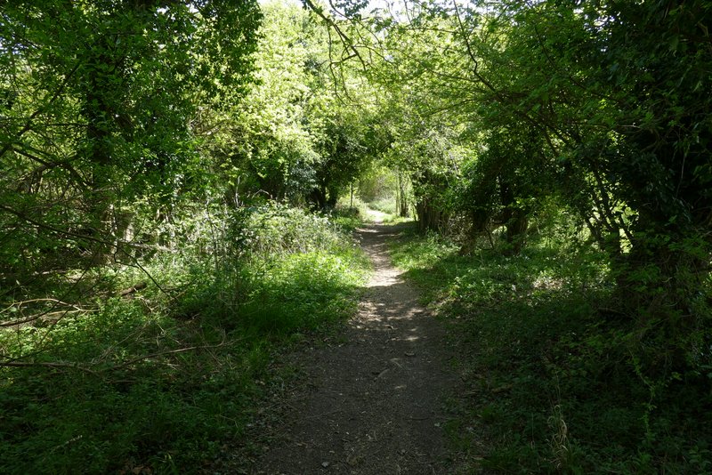
Near the end of Warmscombe Lane, just before I turned right onto a path along a farm track
I followed the track fairly gently uphill beside a hedge on my left. Near the top of the slope the track left the hedge, cutting across a field corner to a hedge corner. The path then left the track and went right, across grass to a stile in a hedgerow. Over the stile, I turned left and followed the hedge gently downhill to reach the lane through the valley of Bix Bottom.
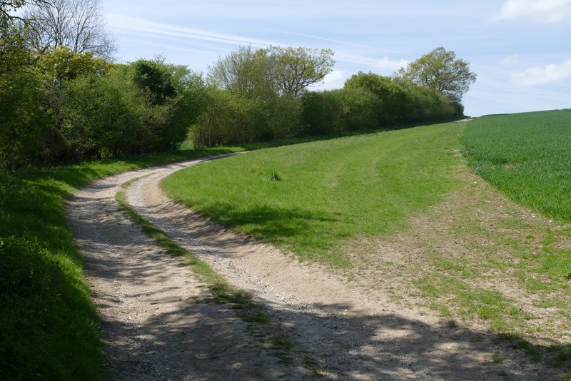
The path after I turned right from Warmscombe Lane
The path continuing towards Bix Bottom
The path approaching the lane in Bix Bottom