Pete's Walks - Cholesbury and The Lee (page 1 of 6)
If you are considering walking this route yourself, please see my disclaimer. You may also like to see these notes about the maps and GPX files.
I did this circular walk of about 11.7 miles on Friday, 19th August 2022. It was a repeat of a walk I did in June 2018, except that near the start of the walk I cut out a lengthy and unnecessary road walk by following footpaths instead (the road walk was purely due to the fact that I used to start this route at Buckland Common instead of Cholesbury - see here for a description of that route). I have shown the footpath alternative as 'Alternative 1' on my Google map.
I parked by the cricket ground in Cholesbury (Grid Reference SP 933071) and started walking about 10.15am (as I set off I realised I'd foolishly left my sun hat at home). Instead of walking past the cricket ground, I followed the road in the opposite direction. Just after passing the Village Hall on my right, I took a footpath on the left. This ran between garden boundaries, and then between wire fences with meadows or pasture either side as it dropped down into a valley. I turned right in the valley bottom, following a path between fences again, then following a hedge on my right past two fields of stubble.along the valley past three fields. On reaching a field corner close to a wood, I started 'Alternative 1' by going straight on. The path passed another field on my left, then went half-left across an empty paddock. In the opposite corner I went through a kissing-gate and followed a fence on my left to reach a line of trees. Beyond the trees, the path went half left across a corner of a meadow to reach a road. I went a short way right along the road to reach the start of the drive to Dundridge Manor Farm (this was where 'Alternative 1 ended and I rejoined the original route)..
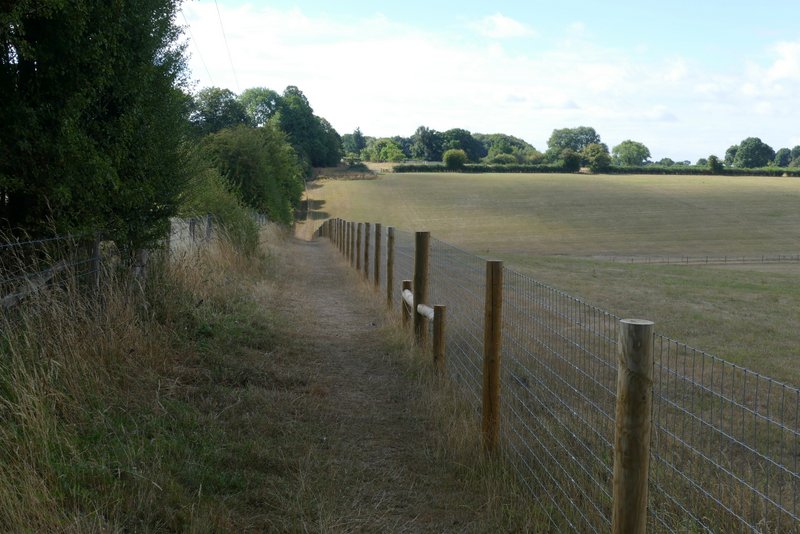
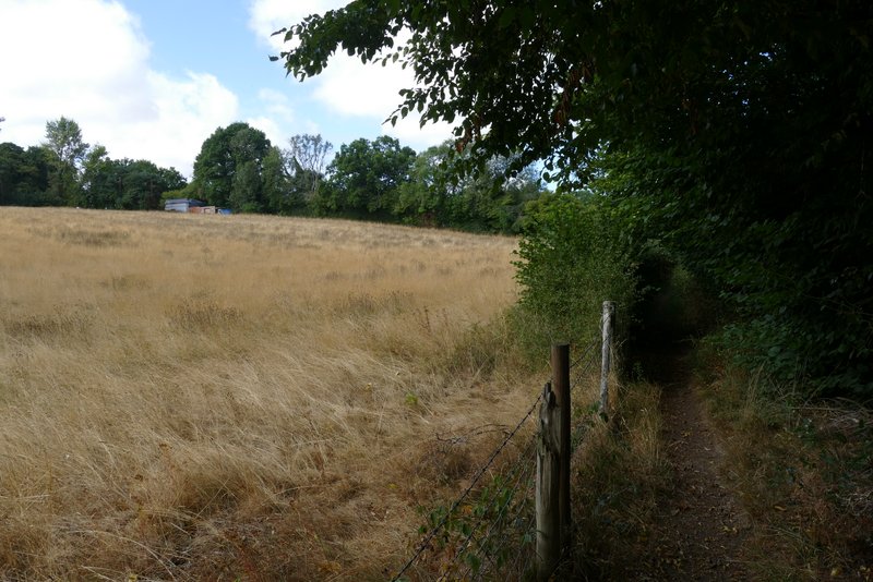
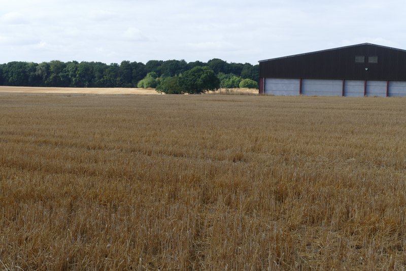
The path I took from almost opposite Cholesbury Village Hall - I turned right along the bottom of the valley
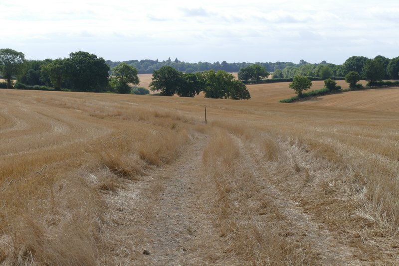
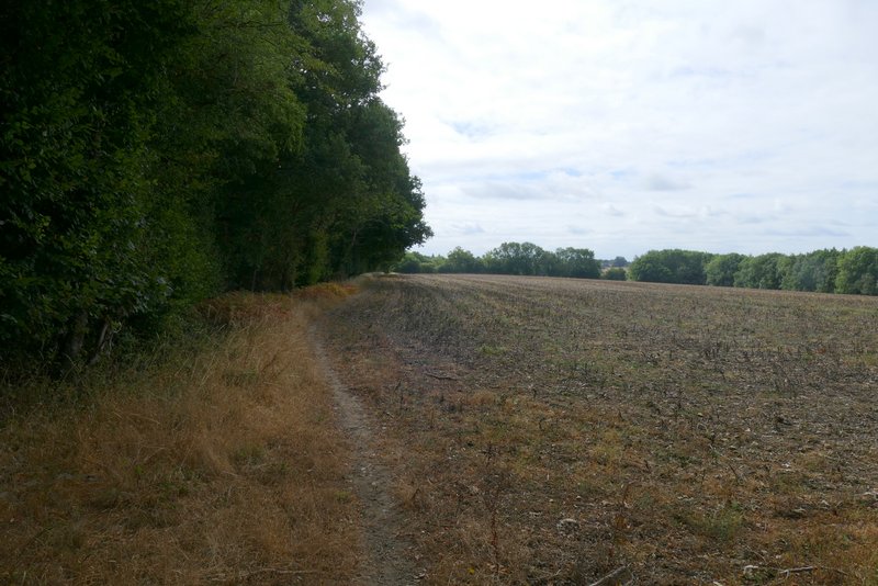
The path along the valley bottom
The path along the valley bottom
The path along the valley bottom
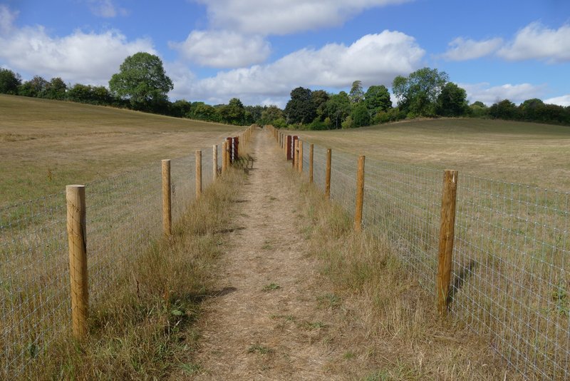
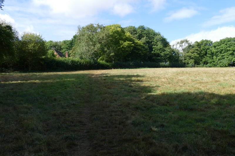
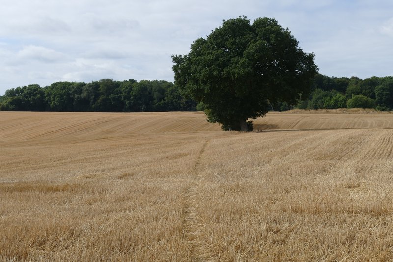
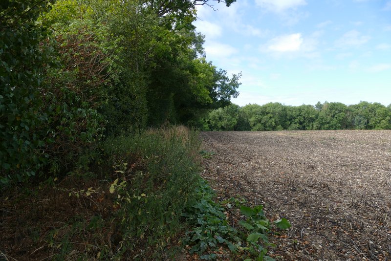
The path along the valley bottom (now on Alternative 1 on my Google map)
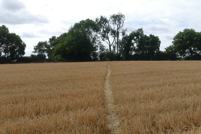
The path continuing across a paddock
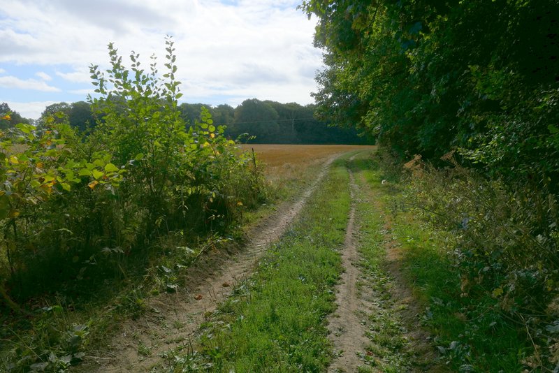
The path continuing across a meadow, to reach a road and the start of the drive to Dundridge Manor (where Alternative 1 on my Google map finishes)
Just a few yards down the drive I turned left along a footpath. I soon reached a hedge gap on the right, where I took a footpath on that side that crossed a field of stubble to join a farm track by some farm buildings. A short way past the farm buildings I turned left at a track junction, but only for a short distance before turning right at a waymark post. The path crossed another field of stubble, following a row of trees, as far as a waymark on a post where it turned left and continued across the stubble field to a hedge. It then continued along the left edge of a field that has been left fallow this year, turning right in the field corner to continue along another side of the same field. Shortly before reaching the next field corner, the path went through a gap in the hedge on my left, and followed the edge of a wood (on my right) past another field that had been left fallow, dropping gently downhill. It then followed a drive to pass in front of a house and reached Arrewig Lane (I'm not sure if the house is the Three Gates Farm shown on the map or not, the OS map is a little unclear).
The path after I turned left from the drive to Dundridge Manor
The path after I turned right at the next path junction - it joins a farm track just left of the farm buildings
The start of the path after I turned left shortly after passing the farm buildings- it goes right by the post (this was the start of the section I'd only walked once before)
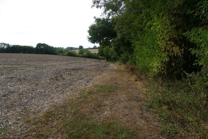
The path along the line of trees
The same path after it turned left
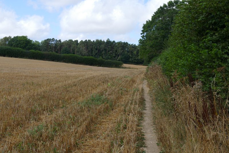
The path following the edge of the field that had been left fallow this year (last time I came this way it was a corn field)
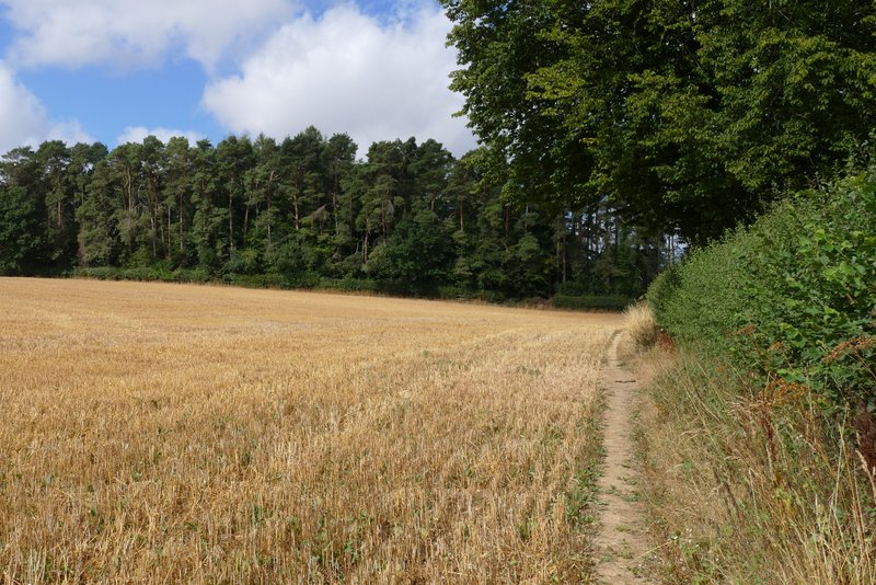
The path after it turns right in the corner of the field
The path continuing along the edge of a wood, after I turned left through a gap in the hedge
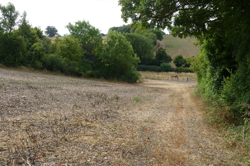
The path approaching Three Gates Farm