Pete's Walks - Milton Keynes Boundary Walk
About my walk
I walked the Milton Keynes Boundary Walk in late July and early August 2007, taking eight days spread over three weeks. As usual I did it ‘both ways’, each day walking about 7.5 miles in a clockwise direction before turning round and retracing my footsteps. So I walked a total of about 120 miles.
There is no real historic or other information (over than mention of a few notable viewpoints) in the route description, so I have added a few comments by searching for village names on the internet.
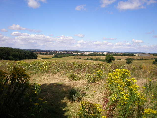
View from near Oakhill Wood (day 8)
The mileage distances given are even more unreliable than usual! The only figure I had to go on was that the whole route was ‘about 60 miles’. I have measured the distances walked each day on the map, using my ‘rule of thumb’ (upper part of my thumb is one kilometre on an Explorer map!). Amazingly, this actually worked out almost precisely at 60 miles (I dropped 0.1 mile from the last walk).
Click here to see a very rough map of the Milton Keynes Boundary Walk (but only if you have already read my disclaimer and notes regarding maps).
Note: I have numbered each photograph (in red) and inserted the same number in the text to show where in the walk the photo was taken.