Pete's Walks - The Chess Valley Walk
If you are considering walking this route yourself, please see my disclaimer. You may also like to see these notes about the maps and GPX files.
20/05/09 Chesham to Rickmansworth (10.7 miles each way, approximately)
I managed to set off from home a bit earlier than usual, knowing that it was going to be a long day's walking, and so started off from Chesham railway station about 9.15am. I was disappointed that it was a grey, almost overcast morning, as the forecast had said it would start bright with sunny intervals later. From the station [1] I walked the short distance downhill to the High Street, where market stalls were being set up, and turned right for a few yards before bearing left and then crossing over a dual carriageway, the main road through the town. On the other side I turned left and followed a path through Lowndes Park [2], passing the large pond on my left. There were numerous ducks and geese here - a pair of Canada Geese had some cute and fluffy goslings, one of the parents hissing at me protectively as I went by.
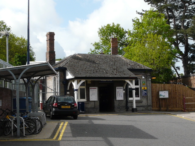
[1] Chesham railway station
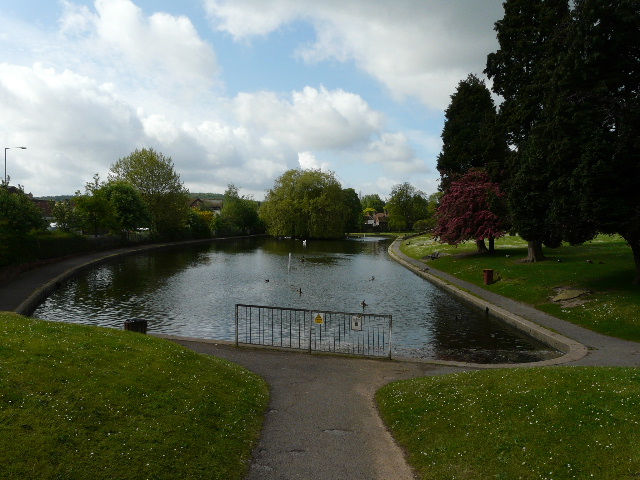
[2] Lowndes Park, Chesham
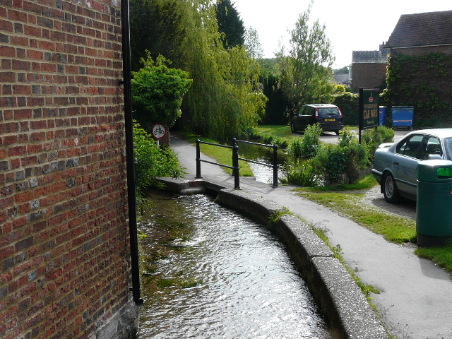
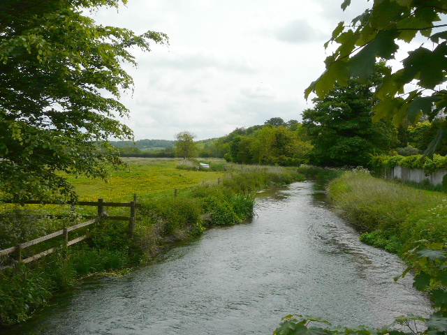
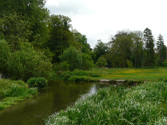
[3] The river Chess at the start of Water Lane
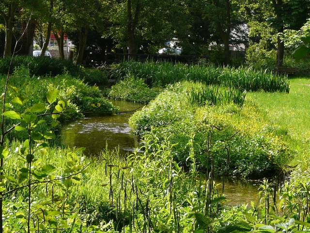
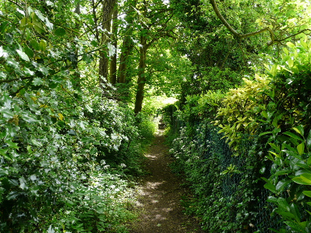
I left the park and turned right along Church Street, in an older part of the town. After a few hundred yards I turned left into Water Lane, a footpath where I immediately had my first site of the river Chess [3] as I crossed it on a small footbridge - as the leaflet for the walk says, it is very clear and on a gravel bed. The path or lane ended at a road junction where I turned left for a few yards, before continuing on a footpath on the other side - here I joined the route of the Chiltern Heritage Trail which I walked a few years ago. The path ran through the attractive Meades Water Gardens [4] - on my return I noticed the river here was full of Water Crowfoot and Yellow Iris. The Water Gardens were on the site of a former mill pond, later used for growing watercress.
[4] Meades Water Gardens, Chesham
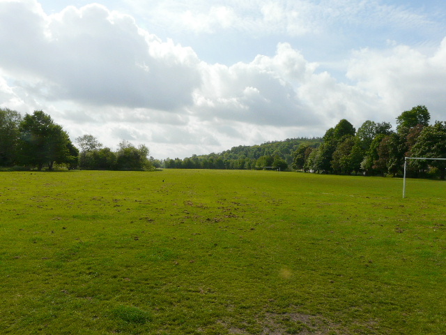
[5] The Moor, Chesham
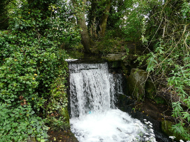
[6] Weir in mill stream, Chesham
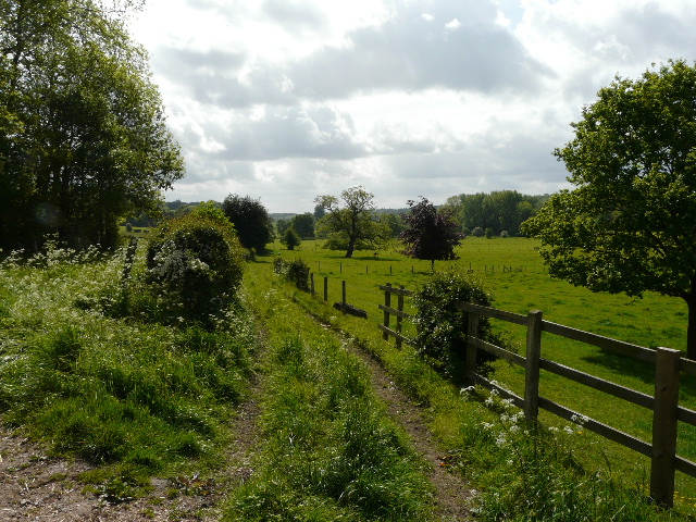
Beyond the Water Gardens I crossed back over the main road (by a wall mosaic celebrating the twinning of Chesham with Friedrichsdorf) and walked down Moor Road, passing the town swimming baths on my right. At the junction at the end of the road, I crossed over to reach a large flat area of grass called The Moor [5] - as the Chess Valley Walk leaflet explains, this is actually an island, created when a Lady Elgiva diverted the Chess and built a mill here in the 10th century. I walked along the left edge of the grass, next to the river, spotting more Yellow Iris. The path soon ran through a narrow band of bushes next to the river. Annoyingly I then went wrong, continuing along the Chiltern Heritage Trail as it turned right by a weir [6] fortunately after a hundred yards or so, I stopped to check the maps. I was a bit confused, as the OS map and the map on the leaflet didn't seem to agree. Then I realised that I was supposed to turn right at a second weir - annoyingly the leaflet map only seemed to show one weir (in fact I've just seen it does show the first weir, but the word 'weir' is almost obliterated by the red dots showing the route of the Chess Valley Walk). So I went back to the junction and continued in the south-easterly direction I'd been on before - there were no Chess Valley Walk signs at the junction, but a few yards further on there was one of the several notice boards that are along the route (it was about Canon's Mill which stood here from the 14th century to 1960 - milling was the main trade in mediaeval Chesham).
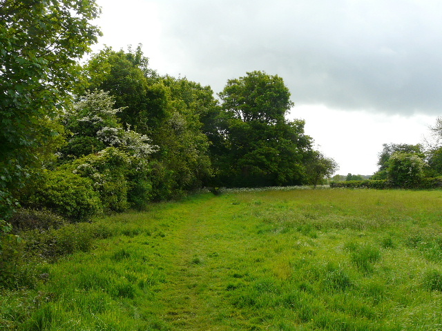
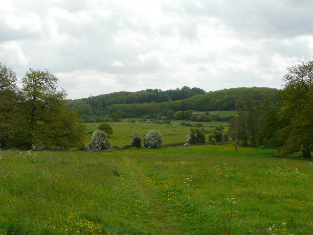
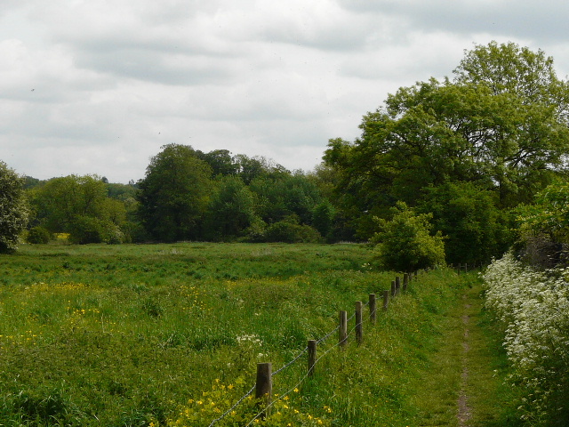
[7] The first meadow after Chesham
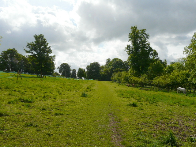
[8] Path through long thin paddock
[9]The Chess Valley, from near Blackwell Farm
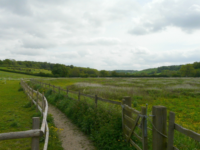
I then turned right at the correct junction, following a path between high wire fences through an industrial or warehousing site. At the end of the path I went through the remains of an old iron kissing gate, finally leaving Chesham after about 45 minutes walking. I turned left along the edge of a small meadow [7], the path then continuing between a garden or small holding on my left and a hedge on the right. The path then joined a gravel drive past some cottages to reach a minor road at a bend, where I went straight on for a short distance to reach a T-junction. Here I turned left for about a hundred yards (I recognised the road as the one from Chesham to Chenies, I was actually heading back to Chesham) and then took a footpath going right at the next bend. Almost immediately, the Chess Valley Walk went right again over a stile. I was now back on familiar territory, as I had walked this path in the opposite direction quite recently (see here - in fact this walk covered most of the Chess Valley Walk as far as Sarratt Bottom, and as it was a sunny day there are much nicer photos!).The path ran along a hedgerow on my right, with a small pasture sloping steeply uphill on my left. Curiously, in the field corner I had to go over a stile and through a gate to reach the next field, a very long thin paddock [8]. At the end of the paddock I followed a gravel drive to a lane - I saw a butterfly here, which I now think was a Painted Lady (because of the dark corners to its forewings). A few yards to the left I took a track on the other side, passing Blackwell Farm. There was a nice view here of the valley ahead, with pastures dotted with a few mature trees.

[10] Path just after Blackwell Farm
[11] Path beside the huge Bean field
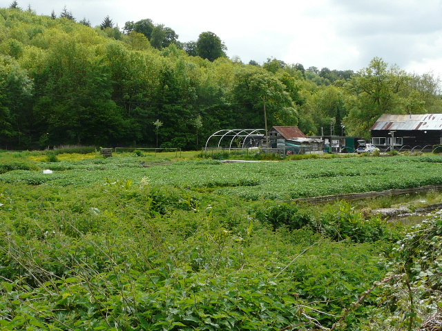
[12] Latimer Park Farm
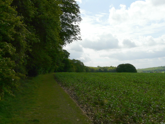
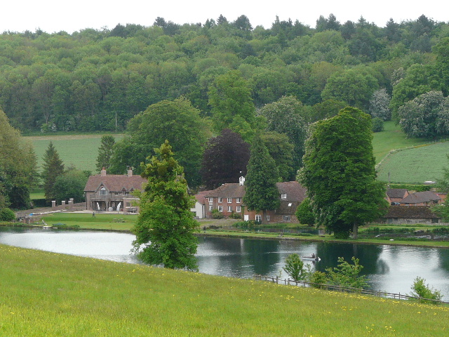
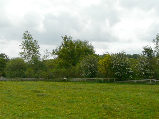
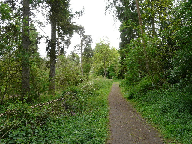
The path continued pleasantly along the valley through a couple of hay meadows and a pasture, following a hedgerow on the right [10]. Along here I met a walker coming the other way, and we chatted for a few minutes about walking in the Chilterns and elsewhere. We both commented on seeing Buzzards here. Next, the Chess Valley Walk ran through a small area of Beech trees and then climbed uphill, the path being lined with nettles much of the way, squeezed between some woodland and a fence on my right. Towards the top of the slope, I had a choice to make, either follow the original route of the Chess Valley Walk or follow an alternative permissive path. I chose the latter, going through a gate and following the edge of a huge bean field, with the wood still on my left - I knew that this permissive path was a very enjoyable route with good views of the Chess Valley, whereas the old route involved some road walking and didn't have such good views (I've walked most of it anyway, as part of Walk 7 of my Chiltern Chain Walk). It was very pleasant walking along the path between the bean field and the beech wood [11], the views ahead over the Chess valley not being at their best because of the grey skies (the promised sunny intervals never really materialised). Soon I could see down to a man-made lake with several swans, and to Latimer Park Farm [12], the site of a Roman villa.
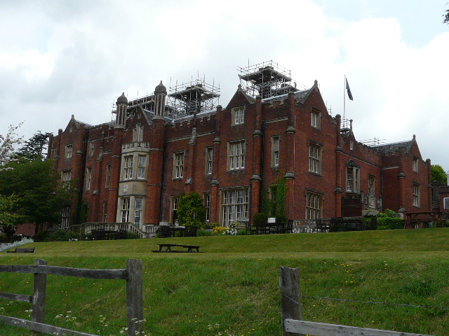
[13] Latimer House
[14] Path near Latimer
[15]The site of Flaunden church
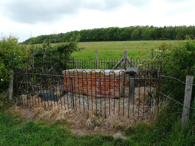
After about half a mile I passed Latimer House [13] on my left. This early Victorian pile was built on the site of a much earlier manor house. For over a hundred years it was the home of the National Defence College and is now a now a management college. I crossed over a farm track, and continued downhill across an attractive meadow [14] with the river over to my right. I crossed a road on the edge of the village of Latimer and continued through a very large and irregularly shaped pasture in the valley bottom. A herd of black cattle were chewing the cud in a corner (they had all gone when I came back in the afternoon). I made a detour towards the end of this huge pasture, going to my right to a notice board by an enclosed area of bushes [15] - this is the site of the original Flaunden church, built in about 1230. The village relocated about a mile and a half north in the early 19th century (I went through it on the Chiltern Way, Walk 11 starting there), and by 1840 site was abandoned. I noticed several Cuckoo-flowers here amongst the numerous Buttercups.
[16] William Liberty's tomb
[17] Looking back along the river Chess, just before Chenies Bottom
[18] The river Chess at Chenies Bottom
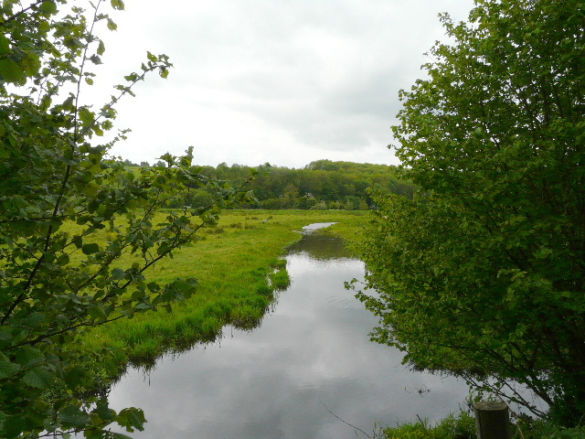
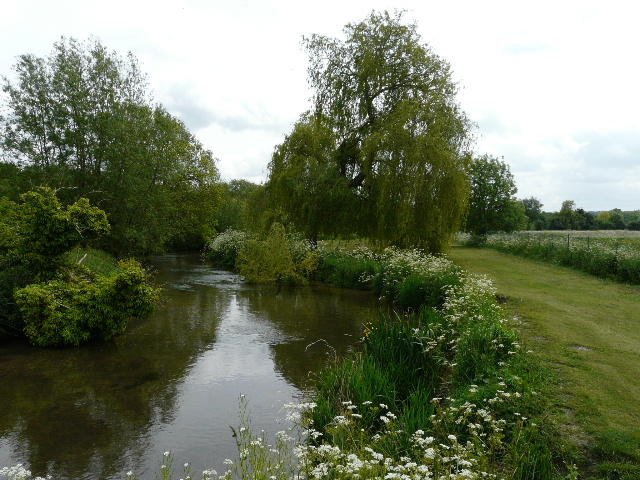
A little further on, in the next small meadow, was another curiosity - a brick-built tomb in the hedgerow [16]. This was the grave of William Liberty (a member of the family behind the London store of that name), who died in 1777 and asked to be buried separately so that he would be able to identify his bones on the day of resurrection (funny how the human mind can work - you believe in an almighty and all powerful God who will raise you from the dead, yet you worry he may absent-mindedly confuse your bones with those of someone else!). The path continued between a hedgerow and the river on my right [17] (there were some Highland cattle here, one of them was standing in the river when I returned) to reach Mill Farm at Chenies Bottom [18] (the farm shop mentioned in the leaflet no longer seems to exist).
[19] Path continuing from Chenies Bottom
[20] Path between Chenies Bottom and Sarratt Bottom
[21] Path between Chenies Bottom and Sarratt Bottom
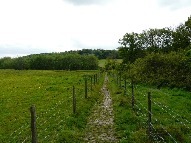
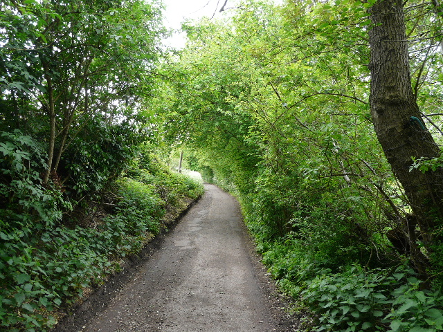
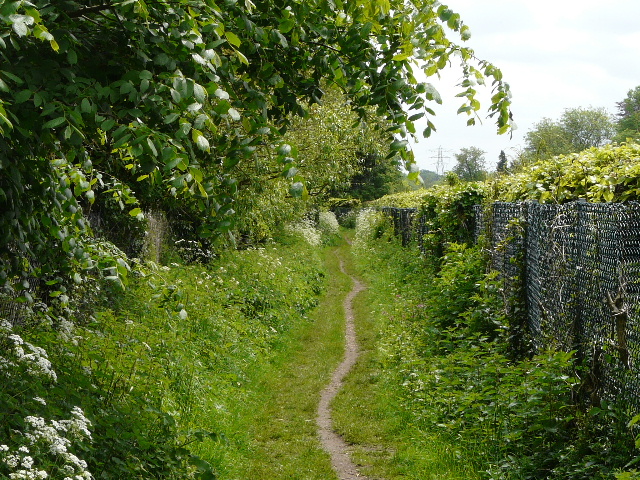
I took my usual photo of the river Chess from the bridge here, then went a few yards left along the lane (I was just too slow to photograph some House Martins in a puddle here) before continuing eastwards through the valley on a path between wooden fences [19]. I also spotted three Buzzards overhead here. I crossed through a small meadow, close to the Frogmore Meadow nature reserve, and continued through a small wood - this was full of Bluebells that were sadly dying off, a week or two ago this must have been a blaze of colour. The Chess Valley Walk then continued between fences, with paddocks on the left and the river beyond a hedge on the right [20]. Much of this section of the walk was on duckboards [21] as the ground was very damp here in the flat valley bottom. Where the path ended, I continued on a hard-surfaced drive, initially with commercial watercress beds on my right [22,23]. At the end of the drive I turned right, heading south-east again, and followed a narrow lane through the hamlet of Sarratt Bottom [24]. I met a small group of walkers here, coming in the opposite direction.

[22] The drive going past the watercress beds
[23] Commercial watercress beds at Sarratt Bottom
[24] Moor Lane, Sarratt Bottom
The lane ended at an isolated row of cottages, continuing as a track for a few yards. I stood on the footbridge at Sarratt Bottom [25] and took photos in both directions, then carried on - the path was now in a large pasture, with the river still to my right. The slope on my left had a sequence of steps, 'strip lynchets', formed in the middle ages by the action of ploughing along the slope. I knew that somewhere near the top of the hill was Sarratt church, which I visited on my second Chiltern Way walk. A few young cattle moved out of my way as I walked along here. I was now entering new territory, the rest of the route to Rickmansworth being entirely unknown to me.
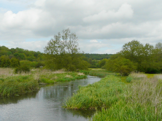
[25] Looking back along the river Chess from the footbridge at Sarratt Bottom
[26] Path after crossing the lane near Sarrattmill Bridge
[27] River Chess from just across the footbridge, east of Sarrattmill Bridge
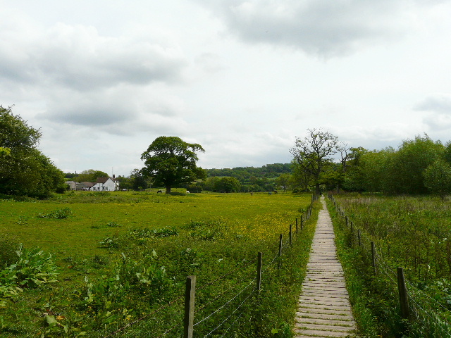
Beyond the pasture, the route continued along a farm drive to a lane - I noted that there was a parking area here, in case I might want to do a walk from here sometime. On the other side I followed a hedgerow through a large meadow [26], then passed through a small area of trees to a footbridge over the river [27]. Here I saw some Water Crowfoot, only the second time I'd seen it since getting interested in wildflowers about three years ago (the only other time was on the last day of A Dales Walk in Yorkshire). I then followed another path through trees [28], where I saw some Bugle and Red Campion (something I saw a lot of today), as well as the fairly ubiquitous Germander Speedwell. At the end of the path, an information board announced that I was in the Chorleywood House Estate - the house here is in private hands, but the grounds are an open access area owned by the local council. The Chess Valley Walk now continued on a drive [29] through a meadow full of Buttercups and more Germander Speedwell.
< 
[28] Path on the south side of the river
[29] The drive near the Chorleywood House Estate
[30] Path beside the M25
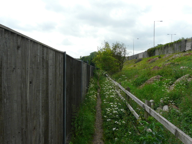
The drive ended at a minor road, where I turned left and crossed a bridge over the noisy M25. The Chess Valley Walk then went right, following an unpleasant path [30] between wooden fences along the bottom of the embankment that carried the motorway. After a few hundred yards, the path turned slightly left and continued along a drive between paddocks or small enclosures. Where the drive then turned right, I continued ahead on a footpath. This was soon running between tall wire fences and hedges either side [31], and continued in this manner for almost half a mile - this was a pretty boring stretch, as there was very little to see apart from the 'tunnel' stretching ahead. The tedium was relieved by the unexpected discovery of some Columbine, the first time I'd ever seen this large and attractive flower.
[31] The long path between fences and hedges
[32] Water meadow, near Rickmansworth
[33]Path past wood near Rickmansworth
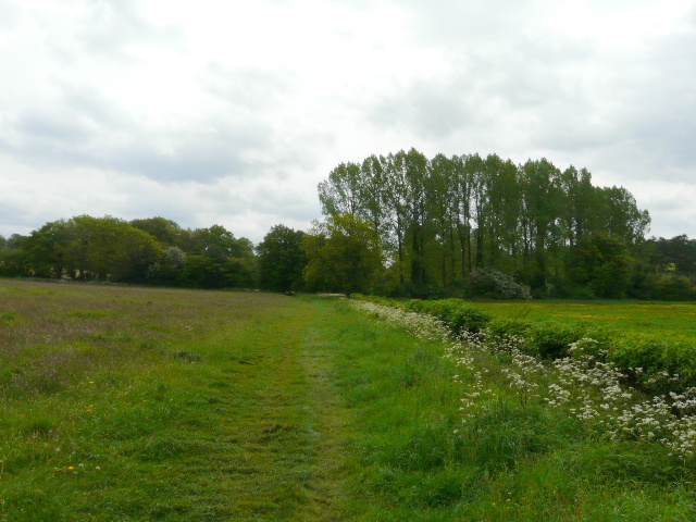
Eventually I reached and crossed a minor road, and things improved a lot - there was now a water meadow [32] to my left and then a wood [33], although the fencing continued on my right. At the end of the wood however, there was suddenly a large meadow visible on my right, full of Cow Parsley [34] (something so ubiquitous that I take it for granted, never usually mentioning it and never having bothered to photograph it).
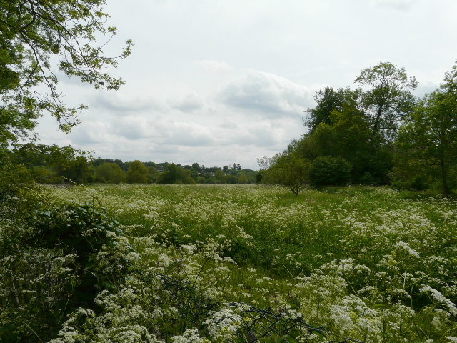
[34] Cow Parsley meadow
[35] River Chess near Rickmansworth

[36] River Chess near Rickmansworth
The path now ran alongside the river for a few hundred yards [35,36], a very pleasant stretch with the path being a broad strip of shortly mown grass. I saw more Yellow Iris along the riverbank here. There were also two or three benches here, one of which I'd use shortly on my way back as my lunch stop. The path then turned half-right, away from the river and again enclosed by hedges or fences. It went round two sides of some extensive school playing fields, where a lot of youngsters were playing cricket - there seemed to be several games in progress, as if some tournament was going on. At the end of the path, I turned right and passed a smaller school, then took a surfaced path through a park. At a fingerpost, I turned left and cut across the grass, passing an impressive old tree [37]. I then went over a footbridge [38] and down a flight of steps, turning right to reach Rickmansworth railway station [39] in a few hundred yards.
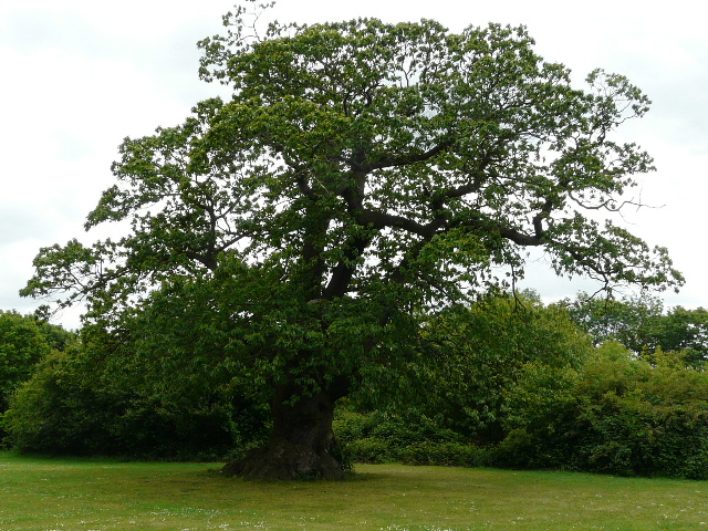
[37] Impressive tree in park at Rickmansworth
[38] Rickmansworth from the footbridge
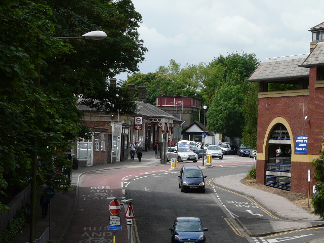
[39] Approaching Rickmansworth station
It was now 1.05am, and it had taken me three hours and fifty minutes to walk 10 miles. I put the slow speed down to the number of photos I'd taken, and the fact that I'd had to navigate much of the way using my maps (something I've not done much of in recent months, mainly having repeated walks or done local walks where I know the paths well).
Of course, most sane people would have now caught a train back to Chesham, but I turned round and started walking back. I soon stopped for lunch by the river. Strangely, my legs already felt quite tired by the time I reached Rickmansworth, so I was a little concerned how I'd feel on the way back to Chesham. Fortunately they didn't get any worse, and I managed to plod steadily back all the way that I had come. I had a short five-minute break for water and a snack bar just past Chenies Bottom, sitting on a stile I've often used for lunch breaks on previous walks. I chatted briefly to a bird watcher on the edge of Chesham, and had a second five-minute break on a bench by the river at The Moor. I felt very tired, but not too bad - at lest I had no blisters, nor sore feet. It was about 17.05 when I returned to Chesham Station - allowing for breaks, the 20 miles had taken me seven and a half hours (I later found that Google Maps makes the distance 10.7 miles each way, so I feel a bit better about the time it took me to do the walk!).