Pete's Walks - The Chiltern Chain Walk, Walk 19
If you are considering walking this route yourself, please see my disclaimer. You may also like to see these notes about the maps and GPX files.
Google map of the walkDownload GPX file of the walk
Walk 19 16/06/08 – Stoke Row and Exlade Street (10.2 miles approximately)
Parked in Stoke Row.
If you are interested in walking this route yourself, click here to see the route description (but only if you have already read my disclaimer and notes regarding route descriptions).
I took a slightly different route on my drive to Stoke Row, turning off at Kingston Blount and taking the minor road through Christmas Common. Nothing much in it distance-wise, but it avoided the almost continual 30-40mph limits all the way from Aston Rowant to Watlington. There were fewer hold-ups behind slow-moving traffic today too, so the journey only took an hour and five minutes, and therefore I’d got my boots on and started walking by 10.15am. It was a cool day, 16-17C, not overcast but with a lot of large clouds in the sky, some of them quite grey.

[1]The Maharajah's Well, Stoke Row (photo taken 2/01/08)
In Saxon times, Stoke Rowwas called Stoches Ruh (loosely translated as ‘enclosure in rough outlying place’). It later became Stoke Rewe, from the Norman French ‘Rue’ meaning street. It was only a small hamlet, part of the parish of Ipsden until becoming a separate parish in 1952. Its most noticeable feature is the Maharajah’s Well. This was dug in 1864 as a result of the friendship between the Maharajah of Benares and Mr Edward Anderdon Reade of Ipsden, sometime Governor of the Northwest Provinces. The well is 364 feet deep, and was dug by just two men in a year. The Maharajah also paid for a cottage for the wellkeeper, and a small cherry orchard to provide for the upkeep of the well. The Maharajah had been touched by his friend’s story of a child being beaten for drinking the last water in the house during the time of a drought. Once it had its own water supply, Stoke Row started to grow from a small collection of hovels to a reasonable size village. The well is still functional, but the cherry orchard is now an ornamental garden. As in other parts of the Chilterns, cherry orchards, brick making and chair making (from local beech) all played roles in the village economy. During World War II, about 3 million tent pegs were made here.
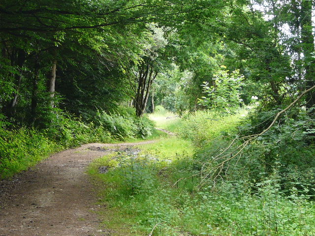
I walked westwards along the road through Stoke Row, passing the Maharajah’s Well on my right (it was covered in scaffolding and people were working on it, so I've included a photo taken on an earlier walk [1]). I turned left down School Lane, immediately before the village church. The lane ran past a few houses for maybe quarter of a mile before becoming a track between hedges. Here I took a path going half-right across a couple of paddocks (alternatively, a sign said that I could use a permissive path a hundred yards further on on the right, to avoid stiles and horses). Beyond the paddocks I turned right on a path between fences (the alternative path). This soon turned left along a tree belt, and after about 100 yards I turned right, passing through the tree belt to a stile.

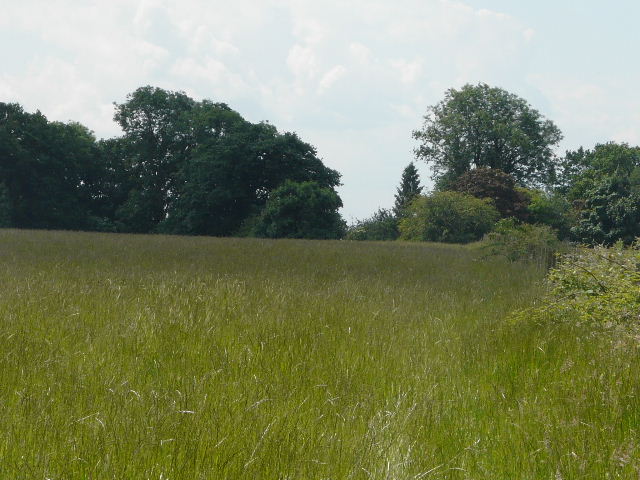
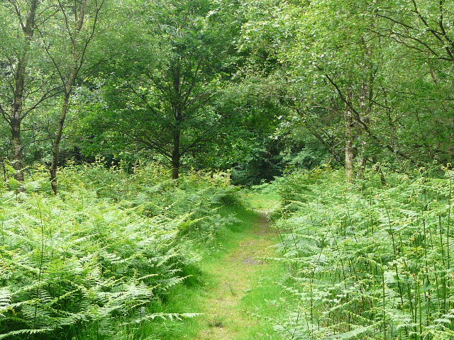
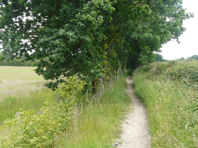
[2]The path through the meadow of long grass
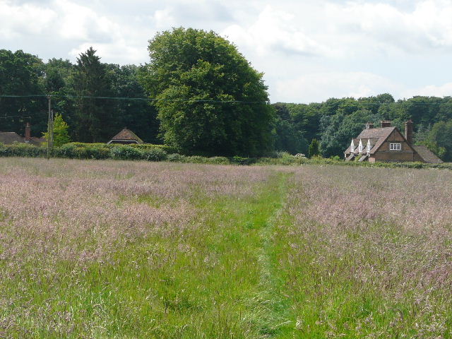
The route now followed a field boundary on my left through a large field or meadow of very long grass – there was a clear path through it, so other people had obviously been this way [2]. Beyond the long field I crossed the drive to a house on my left and reached a lane. I went just a few yards to the left before going over a stile on the far side. Here I entered an L-shaped pasture, extending ahead and to my right. I took a slight detour a few yards to my left to avoid coming between some tiny calves and their mothers, and thus managed to find a cattle path through the longish grass that was going in the right direction. I soon had a wood on my right, as I followed the path to a gate and stile in a far corner.
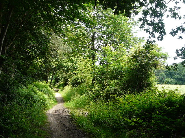
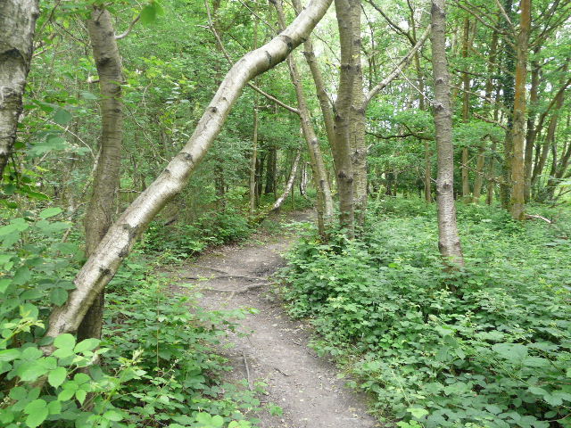
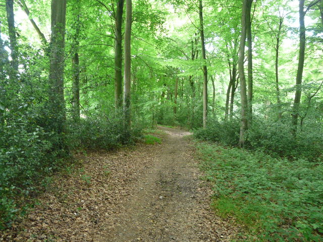
I crossed another lane and followed a footpath through trees and bushes a few yards to join a drive or track, continuing ahead in the same direction a little further. Very soon there was a house on my left and the track turned right – I wanted to take the rightmost of two footpaths going on ahead, but first had to wait a few minutes as a BT lorry was parked across the track and three men were trying to unload some telephone poles off it. When I got going again, the path ran through a wood – it was quite muddy in places, and a fallen branch almost blocked the path at one point [3].
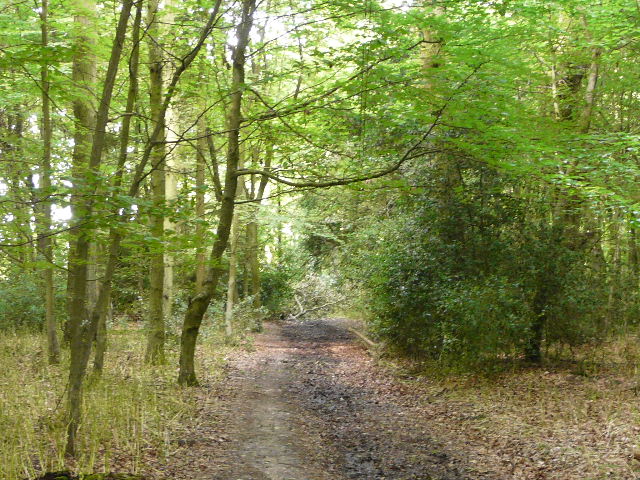
[3]The path through the wood
[4]The track leading into another wood, shortly after Scot's farm
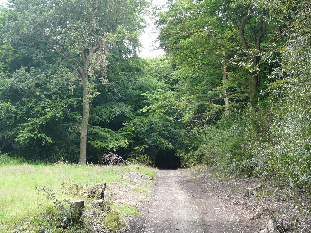
On the far side of the wood I reached the edge of a farm yard (Scot's Farm), where I went a few yards to the right and crossed over another lane. I continued along a footpath on the other side, initially along a stony drive with some cottages on my left. A little further on the path entered a wood [4], and went very slightly downhill. After a few hundred yards I reached a path junction, where I turned very sharply left, almost doubling back on myself. I went wrong here, but realised my mistake after 50 yards or so – some fallen or cut-down branches had obscured where the narrow path continued ahead so I’d wrongly stayed on a wider track (it didn’t help that the first painted arrow on a tree was obscured by another tree). I followed the white arrows through the wood, and then continued across another field or meadow of long grass to reach another lane, with about five houses dotted along the far side [5].
[5]The path heading towards Checkendon
I crossed over and continued on a path that initially ran between garden fences. It then continued just inside the edge of a wood, with a large corn field just yards to my right. I noticed several Yew trees here. After a few hundred yards the path turned sharply left – almost immediately there was a fork where I kept left. Soon there were paddocks on my left but a wood still to my right, the path running between fences [6]. Apart from some Buttercups I’d not yet seen any wildflowers, but here there were Wood Avens and Herb Robert growing. The path ended when it reached the gravel drive to Checkendon Court, to my right.

[6]The path heading towards Checkendon church
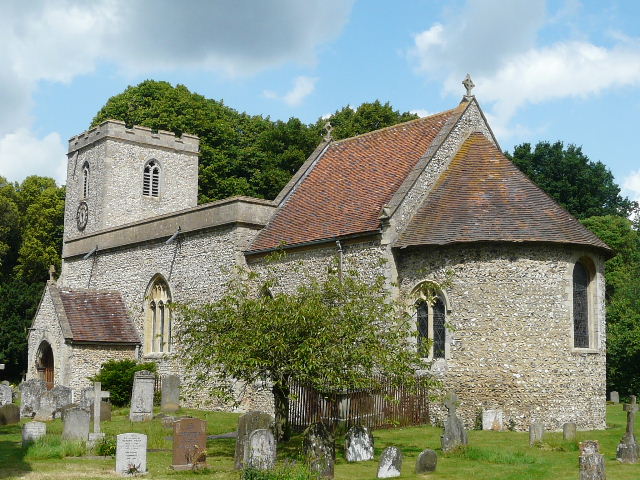
[7]Checkendon church
I had a quick detour here to take a photo of Checkendon church [7], then continued on a footpath that started on the opposite side of the drive. This went through a very large sheep pasture, at first with the boundary of the grounds of Checkendon Court to my right [8] (from what I could see of the house and gardens, I’m fairly sure I saw it in an episode of Midsomer Murders recently). On the far side of the sheep pasture I went through two kissing-gates either side of an old driveway, then turned left, following a path between a hedge on my left and a fence on the right with a large meadow or pasture beyond [9].
[8]The path beside the grounds of Checkendon Court
[9]The path near Checkendon Court
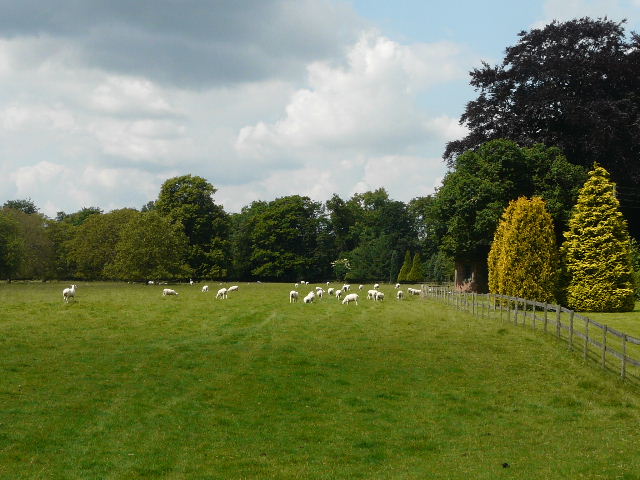
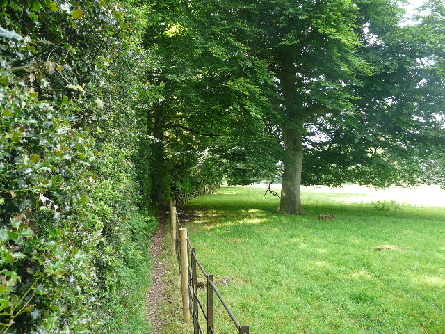
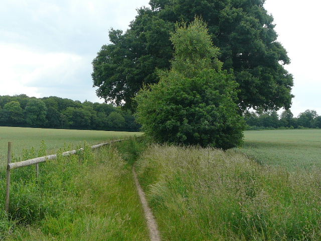
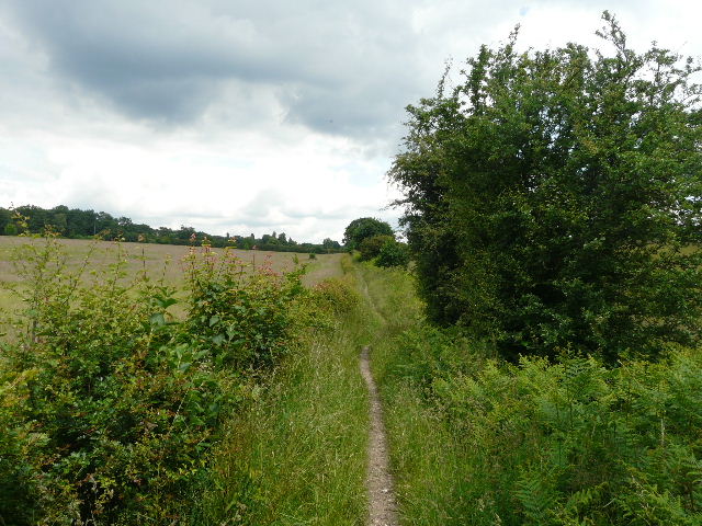
On reaching a minor road, I turned right for about a hundred yards and then took a bridleway on the other side. This ran between hedges, and after about quarter of a mile until I reached a crossing footpath (there was some Nipplewort and Woody Nightshade growing by this junction). I turned right, following the right-hand fence of another very large sheep pasture [10], with a farm visible over to my left. The field boundary eventually curved round to the left, and I went over a stile and continued a few yards through bushes with a small pond on my left. At a path junction, just before another stile or gate, I turned right and followed the left edge of a field downhill [11]. This path then continued down an alley between gardens to reach a lane in the hamlet of Exlade Street.
[10]The large sheep pasture (there were sheep here, honest, they were just a little camera shy!)

[11]The path approaching Exlade Street
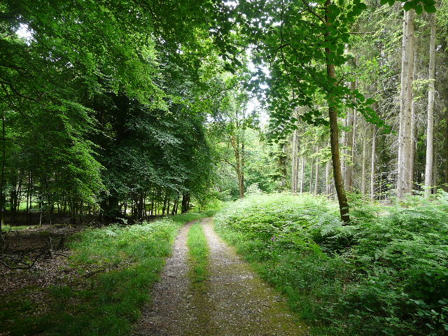
I turned left, soon passing The Highwayman pub on the right [12]. A little further I passed a junction where another lane went left – the road sign here pointed in three directions, and under each of the three destinations said ’via Quiet Lane’. I carried on, now with a wood on the left. Where a wood began on the right after another quarter of a mile, I turned right on a short bridleway through the trees to reach a main road, the A4074. On the far side a bridleway went sharply left, through the trees of College or Abott’s Wood (that's how it's named on the map!). As usual, the path was marked by a series of white arrows painted on the trees – just as well, as a number of tracks created by forestry vehicles might otherwise have caused some confusion [13]. I kept left at a fork, and a bit later on had a rather odd experience. A very large pine cone fell to the floor just in front of me – but there were no conifers anywhere near, just a fairly young oak tree! I can only imagine a squirrel had dropped it.
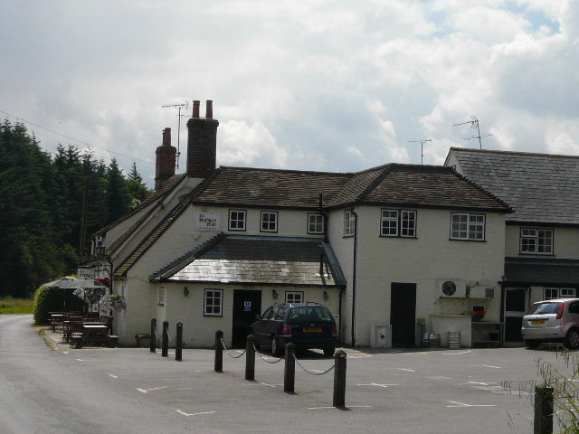
[12]The Highwayman pub, Exlade Street

[13]The path through College or Abbot's Wood
I crossed another wide forestry track, where I had to look carefully to find the next white arrow on the far side. The path then passed through an open glade with much bracken [14], and I found a Common Spotted Orchid beside the path. I then soon came to a crossroads of bridleways, where I turned left. I took care to take the correct path here, because there is a second path, unmarked on the map, going left just before the bridleway – this had caused me quite some confusion on an earlier walk! The bridleway continued through the trees, soon joining a broader track for a while, before leaving it by turning left. A few yards further on it turned right, where a path came in on the left, and I carried on for a few hundred yards more, through beech trees and holly bushes, to reach a minor road, rather ominously called Deadman’s Lane.
[14]The path through College or Abbot's Wood
[15]Deadman's Lane, approaching the A4074
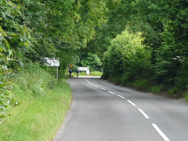
I turned left and followed the road for almost half a mile, with the wood still on my left. I had to take care on the road, as there were several vehicles using it and there were seldom any verges. At one point I spotted a yellow flower beside the road which I’d not seen before – I later identified it as Creeping Cinquefoil. The road ended at a junction with the A4074 [15], and again I had to take care crossing this busy road. The road sign pointing down Deadman’s Lane said ‘Goring 5’, so it can’t be far to the end of the Chiltern Chain Walk now!
[16] Near the start of the long bridleway
The next section of the route was very easy to follow, as I would be on a bridleway almost continuously for about three miles, heading roughly north-east. It started along a hard-surfaced drive, between a wood on the left and a hedge on my right, but once it passed a cottage on the right it continued between a fence and a hedge on the right [16], with large corn field either side and woods beyond them. I crossed a lane, Park Lane, and continued on with a wood, Nipper’s Grove, on my left. There were a few trees on my right too at first, and then a small and dirty pond, Sheepwash Pond [17]. Beyond that there were two very large corn fields on the right, entirely surrounded by woods [18,19]. I saw some Honeysuckle here, and further on some Hedge Woundwort.
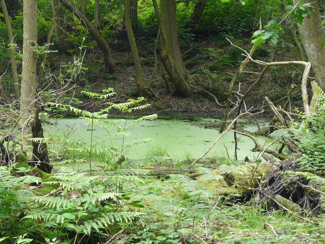
[17] Sheepwash Pond
[18]The long bridleway, beside Nipper's Grove
[19]The long bridleway, beside Nipper's Grove
I crossed a second lane, and continued on a muddy track through a small wood. On the far side I had to go right for a few yards along another lane, before continuing on another bridleway in the same north-easterly direction as before. This ran between fences and hedge [20], with huge meadows of very tall grass on either side, where pathways appeared to have been mown through them. I assumed the meadows were associated with the very large house I could see ahead and to my left, Wyfold Court [21].
[20]The long bridleway, just before Wyfold Court
Wyfold Court was built between 1872 and 1878 for Edward Hermon, a Lancashire cotton baron and MP. The architect, George Somers Clarke, was a pupil of Sir Charles Barry (most famous for the Houses of Parliament). It was later used as an asylum, and has recently been converted into a number of private residences, the developer working closely with English Heritage and the Victorian Society to maintain the character of this impressive edifice.
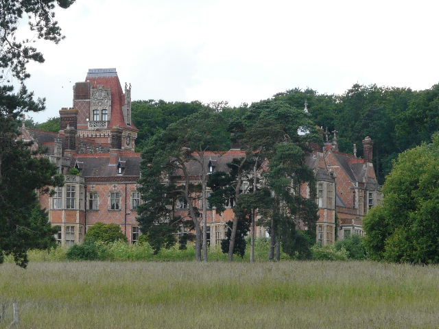
[21] Wyfold Court
[22]The long bridleway near Wyfold Court
It was quite a lengthy section here, the meadow on the right later giving way to a field of oil-seed rape. There were several young oak trees here [22], which blocked the view to the grand Victorian mansion (which was also hidden by the large trees in its grounds). Eventually I crossed the drive to Wyfold Court, the bridleway continuing through another wood and then going down a short drive beside a cottage on the left. It crossed another lane and another drive in quick succession, carrying on through more trees. These were now mainly silver birches [23], with an undergrowth of ferns. Further on the wood was predominantly young oak trees. The bridleway then crossed another lane or drive, and entered a beech wood. It soon started to descend quite steeply, and at the bottom of a valley it came to a crossroads with another bridleway [24].
[23]The long bridleway
[24]The bridleway junction where I turned left
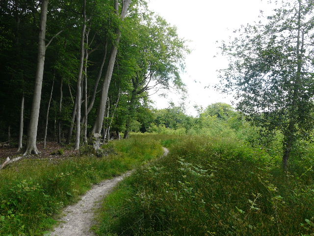
Here I turned left. There was soon a slight fork in the path where I kept left (though the two paths were only yards apart, both amongst the beech trees at the bottom of this small valley). After a few hundred yards the bridleway turned left (a footpath carried on ahead), rising uphill gently through an area of conifers [25]. It soon reached a broader track at a bend, and continued on in the same direction. There was a lot of Yellow Pimpernel here, and occasionally Foxgloves. The wood was now mainly deciduous to my left [26], but coniferous on the right. I’d heard Ravens here on a previous walk, but not today.
[25] Bridleway through a section of conifers
[26]Bridleway heading back towards Stoke Row
I went by gates either side of a lane or track, then took a narrow path going right [27]. I followed this for several hundred yards through the trees and bracken, until I came to a crossing bridleway, immediately before a cleared area of the wood. I turned right for just a few yards, passing between the wooden posts of a fence, then turned left onto another bridleway. This continued on through the trees, soon going up and down a small dip and running to the left of an area of small young trees [28]. Again I saw Yellow Pimpernel and Foxgloves here.
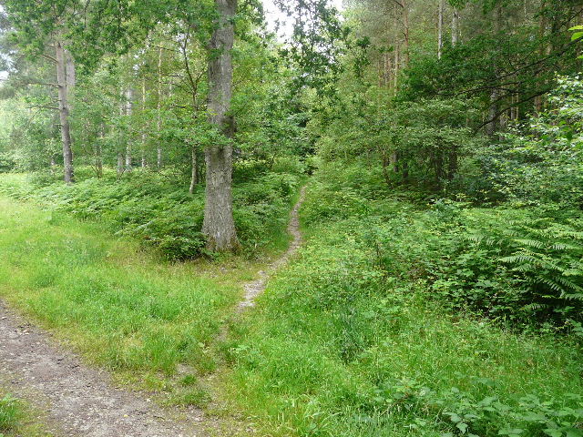
[27]Start of the footpath back to Stoke Row
[28]The footpath back to Stoke Row
The bridleway crossed a road on the edge of Stoke Row, and continued on through the edge of a beech wood [29] – I could hear children shouting from across the field just to my left, presumably at a school. After a few hundred yards I came to a bridleway junction (I’d followed the one on my right at the start of my previous walk) at the corner of a lane. I turned left, and followed the lane a short distance to the main road through Stoke Row, where I turned right. I saw my first Red Kite of the walk as I went along the main road back to my parked car [30].
[29]The bridleway near Stoke Row
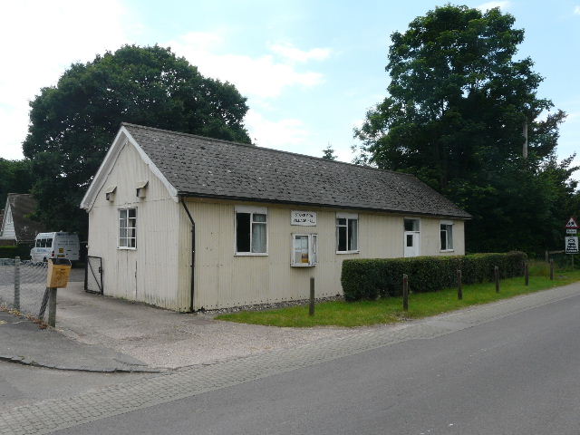
[30]The Village Hall, Stoke Row
This was a relatively short walk of just over 10 miles – I suppose it balances some of the 14 mile walks I’ve done, helping bring the average length for the Chiltern Chain Walk down to 12 miles per walk. It was just after 2pm when I got back – I sat and ate my sandwiches in the car, having just had a second Alpen bar to keep me going about 1pm.
This was quite a pleasant walk – the first part was a little fiddly, and Deadman’s Lane wasn’t very nice, but after that it was nice easy going, mainly on bridleways through a variety of woods. Very few birds or butterflies to be seen today, nor many wildflowers, but seeing my first Creeping Cinquefoil was a real unexpected bonus.
Total distance: 235.5 miles
(To see this walk repeated IN THE OPPOSITE DIRECTION on 21/7/12, CLICK HERE)