Pete's Walks - Kensworth to Redbourn (part 1)
If you are considering walking this route yourself, please see my disclaimer. You may also like to see these notes about the maps and GPX files.
Google map of the walkDownload GPX file of the walk
This is one of my local walks that I do a few times a year. It is a circular walk from Kensworth to Redbourn and back, about 15 miles. The photos were taken on Thursday, October 9th 2008 (there are more photos when I did this walk in October 2021.
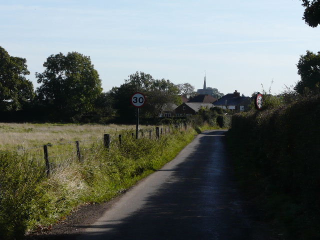
There was bright sunshine and not a cloud in the sky as I set off about 9.35am. The walk starts off with a fairly dull stretch down almost the entire length of Kensworth, following Common Road eastwards for about three-quarters of a mile to just past the village school. It’s nice to get this dullest part of the walk over and done with straight away, which is why until recently I had always done this walk in this clockwise direction - it would be a bit of an anticlimax doing this long stretch of road walking at the end of the walk. I did do the walk in the opposite direction for the first time a few weeks ago, but altered the route to miss out the long walk through Kensworth by going to Church End via Kensworth Lynch and returning home along Hollicks Lane - a longer but more enjoyable option.
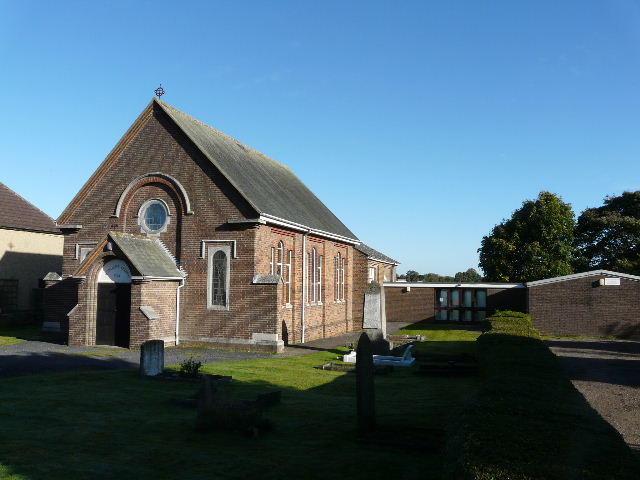
The Methodist chapel in Kensworth
A short distance after passing the school on my right (at a crossroads), I turned right on to a footpath across a paddock - I was now on the route of Walk 1 of the Chiltern Chain Walk, which I’d follow as far as Markyate. In the next (much larger) paddock, the path went half-left to the far hedgerow, then turned left along the hedge.
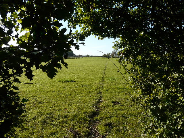
The path across the first paddock, Kensworth
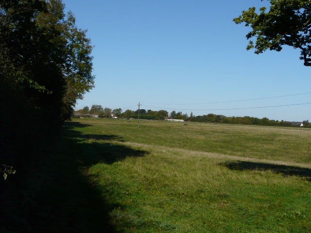
Looking back across the paddocks, Kensworth
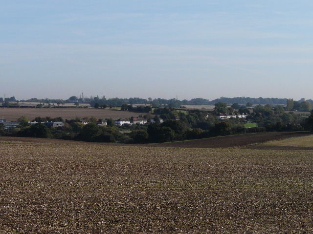
Through a metal kissing-gate in the corner, the path continued across a huge field of stubble, passing to the left of small copse in the middle of the field. There were pleasant views over Kensworth Lynch and along the valley carrying the A5 north to Dunstable. I was walking straight towards the sun, as I would be most of the way to Redbourn, so most of my photos had to be taken looking back the way I’d come.
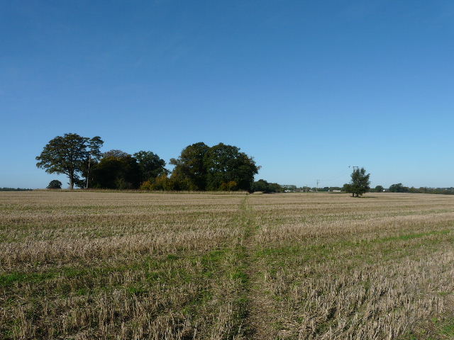
Looking back to the copse, between Kensworth and Markyate
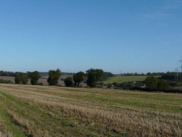
Kensworth Lynch and the valley carrying the A5 north towards Dunstable, from the path to Markyate
The path had not been reinstated where it continued ahead across the corner of a ploughed field, but it was a simple matter to follow the field edge round. In the next field the path turned half-right, now following a hedgerow on my left parallel to the A5 in the Ver valley. At a gap in the hedge, there was a view across the valley to Markyate Cell. The path continued beside the hedge through another field of stubble and then through a couple of sports fields to reach the village of Markyate.
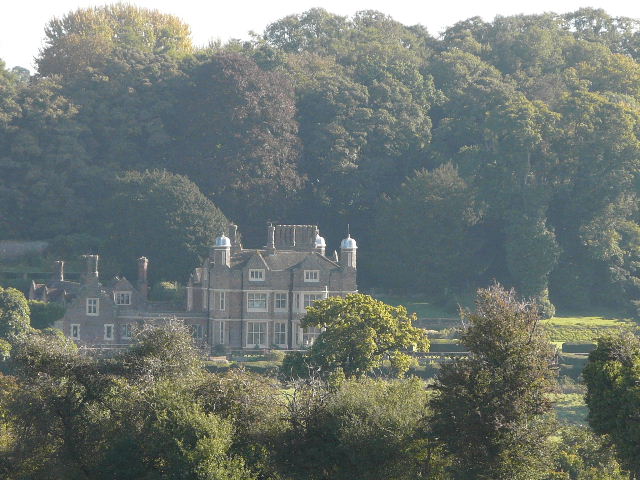
Markyate Cell (an earlier house on the site was the home of the alleged highwaywoman Lady Katherine Ferrers, upon whose life the film 'The Wicked Lady' was loosely based)
Looking back along the path to Markyate
On reaching a street, I went a short way left, then turned right along a footpath, continuing more or less straight on along a street going downhill. Here, as I crossed Buckwood Road and went down an alley next to a Baptist chapel, I left the Chiltern Chain Walk but joined the route of the Hertfordshire Way which I’d now follow as far as Flamstead. Beyond the alley I passed through a curious feature, a metal gate in a brick arch between raised and walled flower beds on a small green, to reach Pickford Road.
Odd feature in Markyate
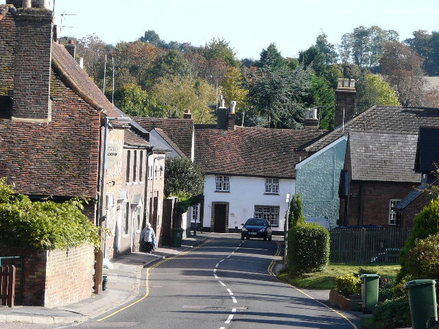
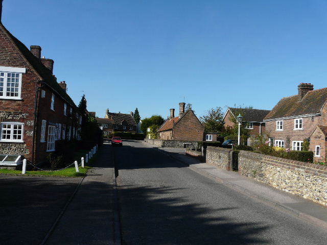
Markyate (the car has just turned off the High Street, which was the old Watling Street or A5 until the bypass was built in the 1950's)
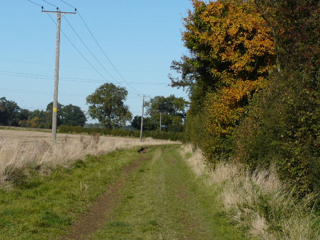
I went a few yards left, then turned right on a path that started along a driveway. Taking the path out of Markyate, I soon came to a fork where I kept right (or straight on)- I used to take the left fork here, which follows a slightly lower but parallel route to Flamstead, but the path I now use is clearer and obviously much better used. It passed allotments on my right as it rose slightly uphill, then turned left alongside a hedge. The path turned right and then left again, and I passed a farmer in a tractor trimming the hedge. Where the hedge turned right again, the path should have continued on across the recently ploughed field, but as the path hadn’t been reinstated I took the easy option of following the farm track all round the edges of the huge field, which only added a couple of hundred yards to the distance.
Looking towards Friar's Wash from the path to Flamstead - the houses are along the course of the old Watling Street
The path from Markyate to Flamstead - apologies for the poor quality of some of these photos, but I was heading almost directly into the sun
The path was clear across the next field of stubble, and then I continued across an empty paddock. Over a stile, I followed a hedgerow a short distance before continuing along a farm drive to reach Friendless Lane (I’ve mentioned before that this is my favourite of all the road names I’ve come across on my walks). I turned right, and soon entered Flamstead, probably the prettiest of the villages in my immediate area.
Looking back across the smaller stubble field on the path to Flamstead
Friendless Lane, heading into Flamstead
Flamstead (looking back from near The Spotted Dog pub)
I turned right at the end of Friendless Lane, then went left at the next junction. I then turned right, and soon made a detour into the churchyard on my right to photograph the church. I then continued on along the street, which turned left and then right. I then almost immediately took a footpath on the left, a field path between two parts of the village - here I was briefly following the Chiltern Way. After following a lane left or about a hundred yards, I turned right onto a footpath and was soon back out into open countryside.
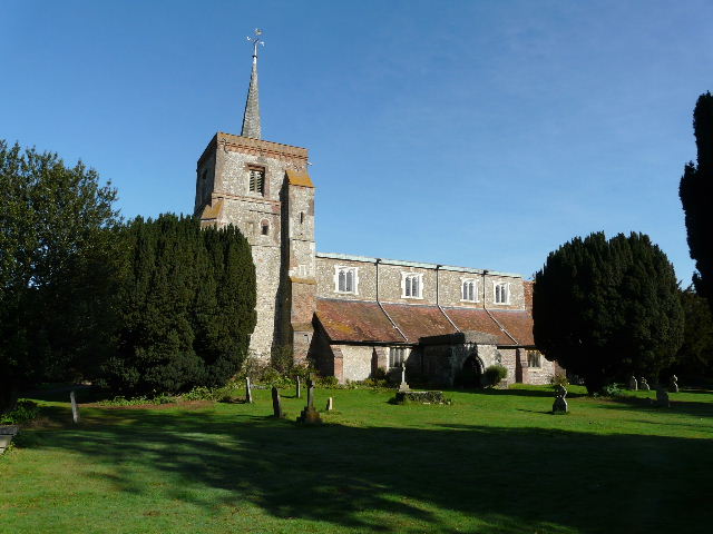
Flamstead church
The path descended gently through a large stubble field into a shallow valley - I always keep a wary eye out for Alligators here, because when I crossed this valley at another point on Day 8 of my Hertfordshire Way walk, I met a little boy fishing for Alligators with his grandfather. There were warning signs on the stiles either side of the small paddock in the valley bottom, but surprisingly, rather than warn about Alligators they were about the guard dogs at the nearby stableyard.
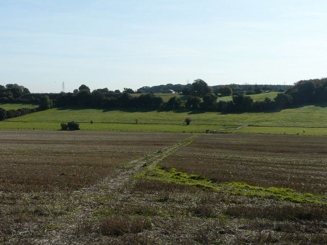
The path descending into the small valley beyond Flamstead