Pete's Walks - Kensworth to Redbourn (part 1)
If you are considering walking this route yourself, please see my disclaimer. You may also like to see these notes about the maps and GPX files.
Google map of the walkDownload GPX file of the walk
I did this circular walk of about 15 miles on Sunday, 3rd October 2021. It was a repeat of a walk I did in October 2008. This is one of my local walks that I used to do often but for some reason haven't done for many years.
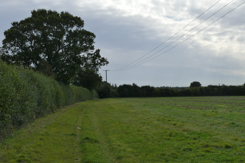
I started walking about 10.25am. From near the junction of Hollicks Lane with Common Road, I followed the latter through Kensworth (or Kensworth Common to be precise), soon passing the Farmer's Boy pub on my left. After a third of a mile or so I passed a Methodist chapel on my left, and after another third of a mile came to a crossroads, with the village school on my right, where I went straight on. After another 100 yards or so, just after some traffic-calming wooden posts, I tried to take a footpath on the right. Unfortunately the latch in the pedestrian gate here was stuck fast, and there was no way I could climb over it, so I had to change my plans slightly. I continued straight on down Lynch Hill, and at the bottom (opposite where a lane came in from the left), I took a path on the right that would take me to Markyate. This followed a track gradually uphill, alongside an intermittent hedgerow on my left.
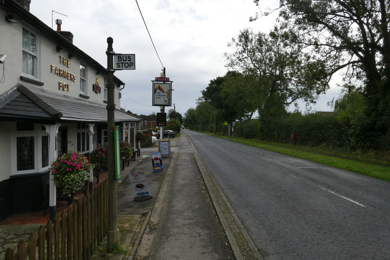
The Farmer's Boy, Kensworth
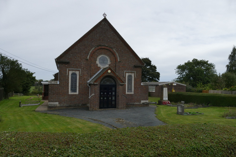
The Methodist chapel in Kensworth
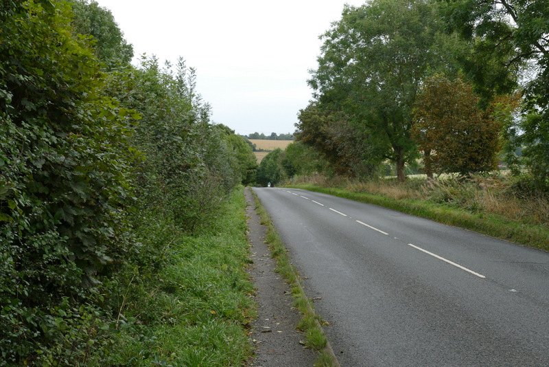
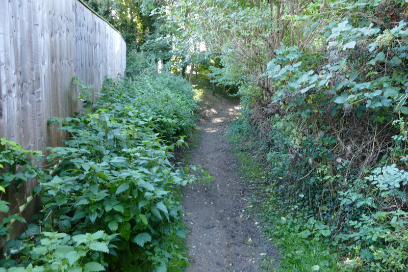
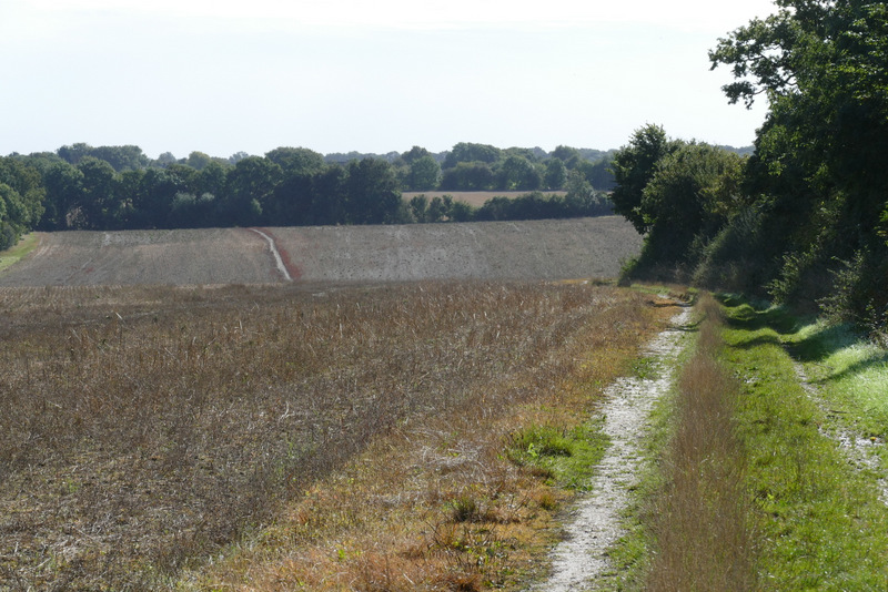
Lynch Hill
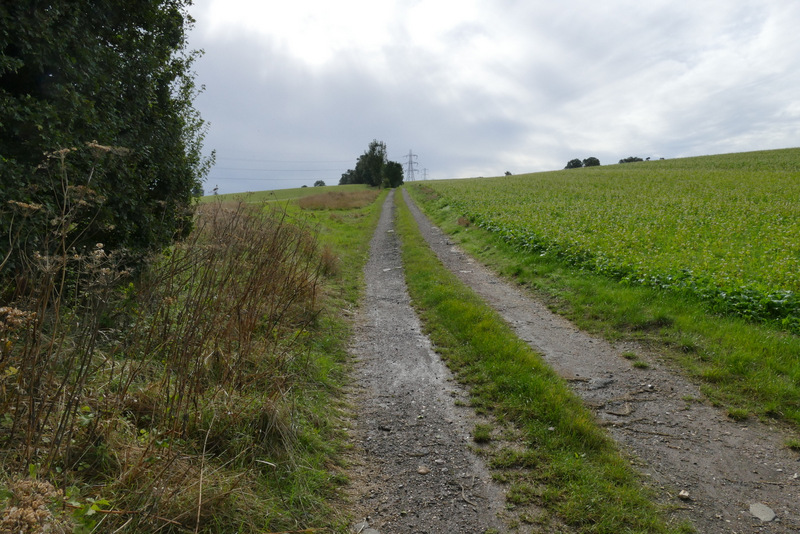
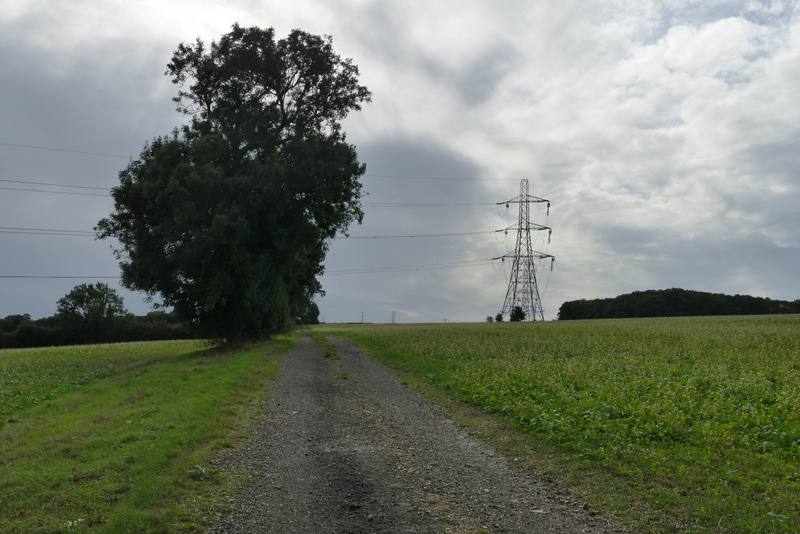
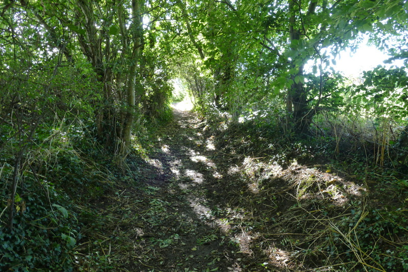
Near the start of the path to Markyate
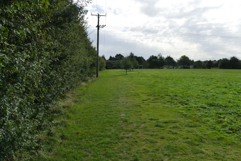
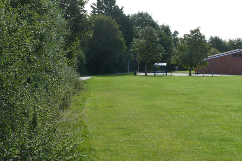
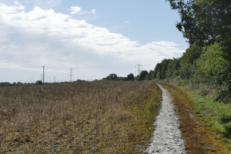
Shortly after passing a tall pylon, my planned route came in from the right, and I turned left through the hedgerow. The path here cuts across the corner of a field, but as it hadn't been re-instated after ploughing I just followed the hedgerow round the corner. The path then rejoined the same track (which had turned left and was now turning right), again with a hedgerow on my left. After a while I passed a fottball field on my right and then a cricket pitch, before a short alley brought me to a street in Markyate.
The path to Markyate
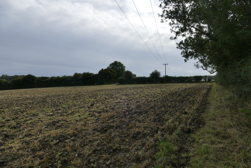
The path to Markyate (it goes across the corner of the field, today I just walked round the field edge)
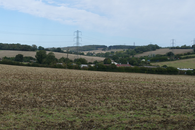
Looking back over Kensworth Lynch and the valley carrying the A5 north towards Dunstable, from the path to Markyate
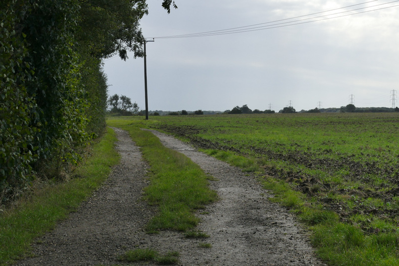
The path to Markyate
The path to Markyate
The path to Markyate
The path to Markyate
I went a short way left along the street, then turned right along a footpath, continuing more or less straight on along a street going downhill. At the bottom of the hill I crossed Buckwood Road and went down an alley next to a Baptist chapel. Beyond the alley I passed through a curious feature, a metal gate in a brick arch between raised and walled flower beds on a small green, to reach Pickford Road. I went a few yards left, then turned right on a path (going to Flamstead) that started along a driveway. It then ran between trees or hedges for a while until I came to a fork where I kept right (or straight on). This path passed allotments on my right as it rose slightly uphill, then turned left alongside a hedge. Further on the path turned right and then almost immediately left again.
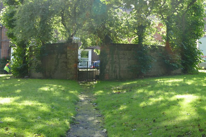
Odd feature in Markyate
The path to Flamstead
The path to Flamstead
The path to Flamstead
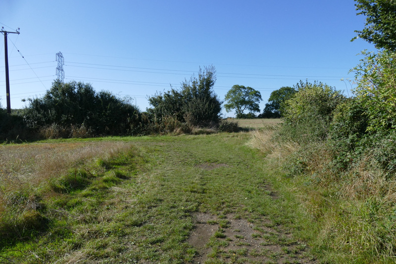
The path to Flamstead, from where it turns right and then left
The path to Flamstead