Pete's Walks - Kensworth to Redbourn (part 2)
If you are considering walking this route yourself, please see my disclaimer. You may also like to see these notes about the maps and GPX files.
Google map of the walkDownload GPX file of the walk
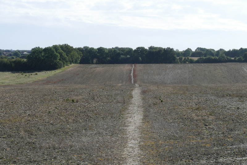
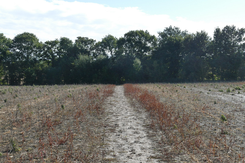
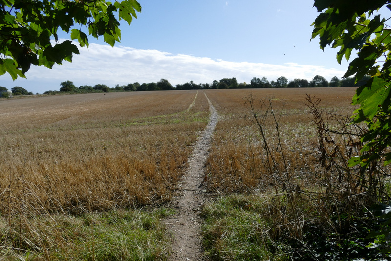
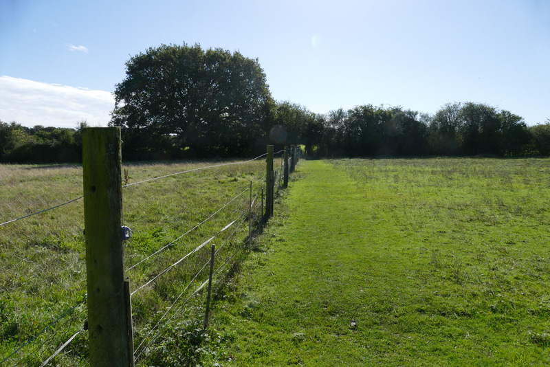
Where the hedge turned right again, the path continued ahead across a large stubble field. It went straight on across a smaller stubble field, and then followed a fence on my left through a paddock. For some reason there were two gates between this and the next field, a meadow. Partway through the meadow I came to a gate (and a footpath crossroads with plentiful waymarks), where I went straight on down a farm drive to reach Friendless Lane. Here I turned left and soon entered Flamstead
The path to Flamstead
The path to Flamstead
The path to Flamstead

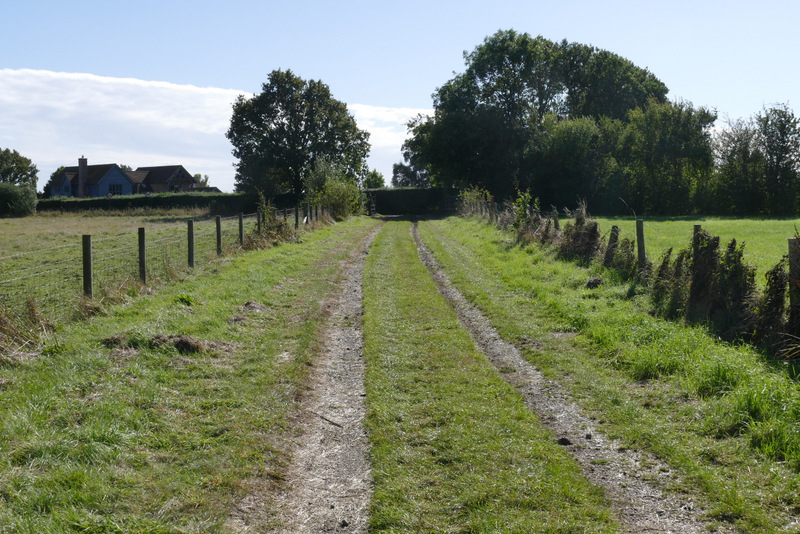
View left from the path to Flamstead - the houses are along the Old Watling Street
The path to Flamstead

The path to Flamstead
The path to Flamstead, approaching Friendless Lane
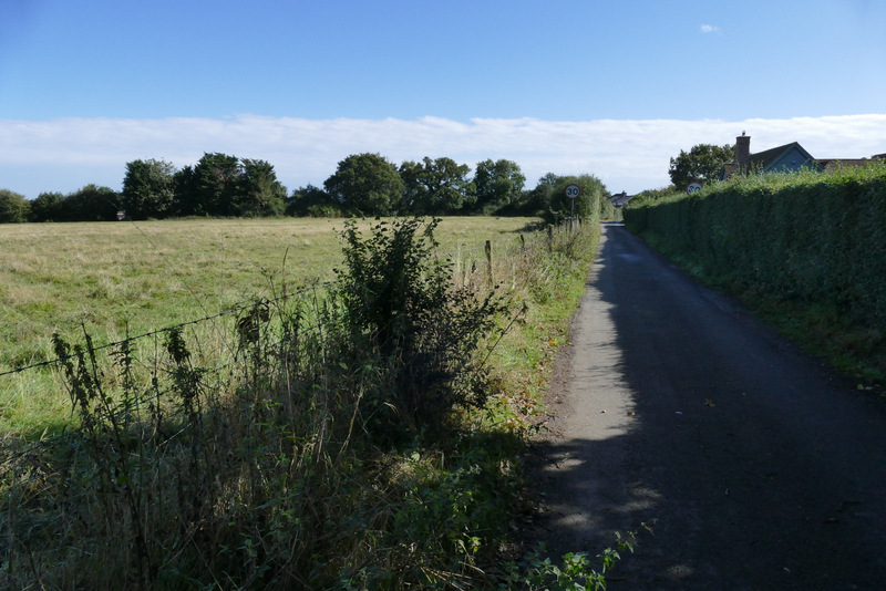
Friendless Lane
I turned right at the end of Friendless Lane, then went left at the next junction. I then took the next road on the right, and soon made a detour into the churchyard on my right to photograph the church. I then continued on along the street, which turned left and then right. I then almost immediately took a footpath on the left, initially along an alley with houses either side. This then followed the left edge of a field to reach another part of Flamstead. After following a lane left or about a hundred yards, I turned right onto a footpath that started along a drive and then continued between garden boundaries and trees.
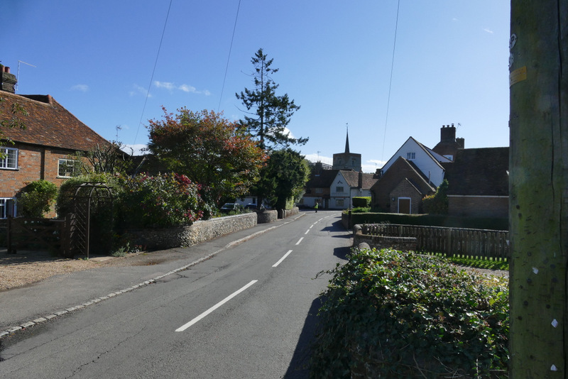
Flamstead, after I turned right at the end of Friendless Lane
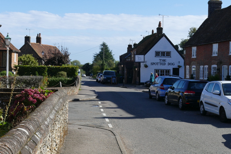
Flamstead, after I turned left
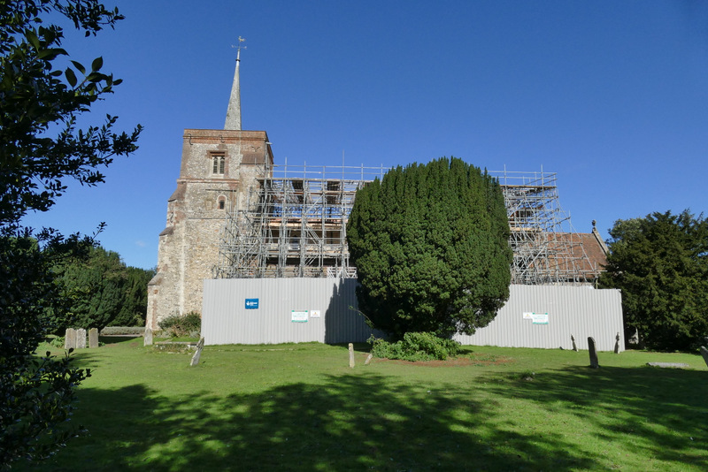
Flamstead church - it's currently undergoing a £1m restoration, largely funded by grants from the National Lottery
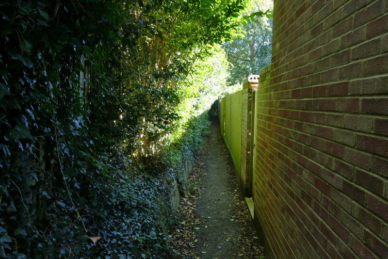
Near the start of the path between two parts of Flamstead
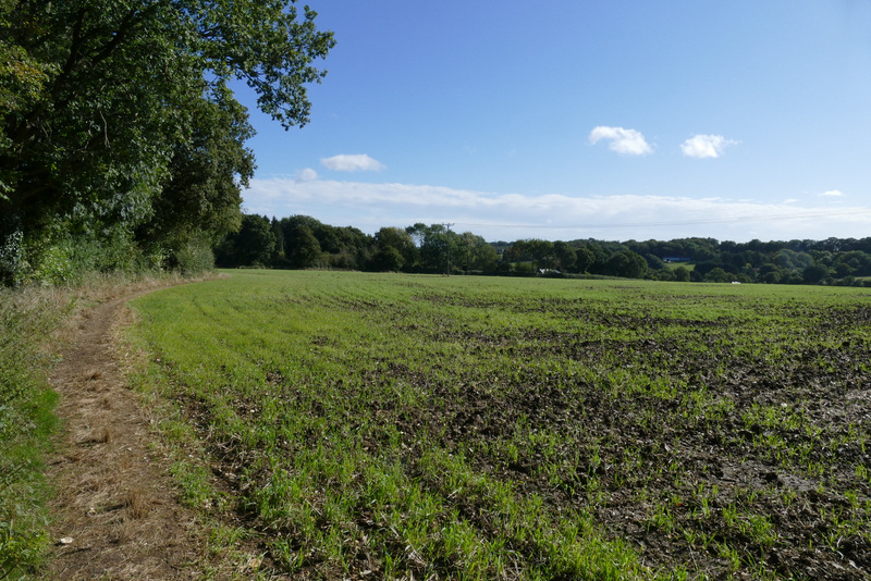
The path between two parts of Flamstead
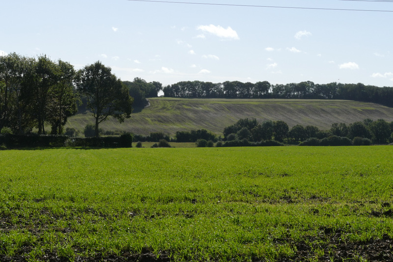
View right, from the path between two parts of Flamstead