Pete's Walks - The Hertfordshire Way
If you are considering walking this route yourself, please see my disclaimer. You may also like to see these notes about the maps and GPX files.
Day 4 3/10/05 Willian to Whitwell (7.7 miles each way)
Parked in Manor Woods car park, just outside Willian.
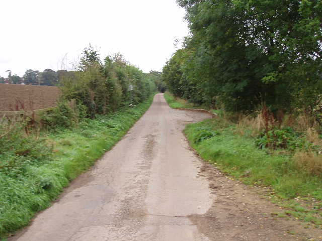
[1] Lane leading away from Willian
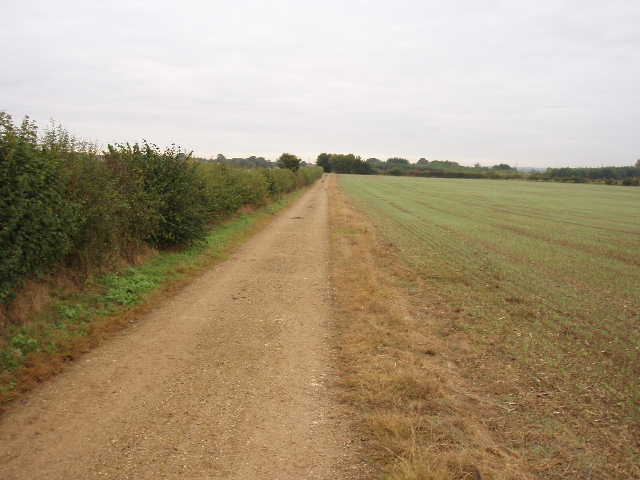
[2] Track leading away from Willian
This walk started along the by now familiar lane [1] or track [2] from Willian that I had walked up and down on my previous excursion, before the Hertfordshire Way turned off along a permissive path [3] beside a hedge to reach a road running into Great Wymondley. I took a footpath that started from opposite the pub in this village, but almost immediately had to ask a friendly resident for directions – the guide book said the path went to the left of a garage but there were three garages, each with a path to its left (the one I wanted, the leftmost, was partly hidden by a car and a protruding hedge). Having found the correct path to the village church [4], I passed through the churchyard and then went diagonally across a very large pasture. I went slightly wrong in the next field, as the path had not been reinstated after ploughing and the guide book was not entirely clear, so I followed the hedge round parts of two sides of the field instead of crossing it. The path was clear again in the next field (stubble waiting to be ploughed), which took me into Little Wymondley.

[3] Permissive path leading towards Great Wymondley
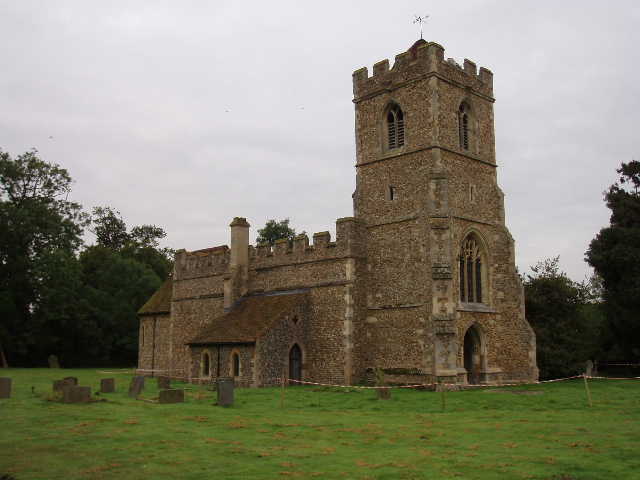
[4] Great Wymondley church)
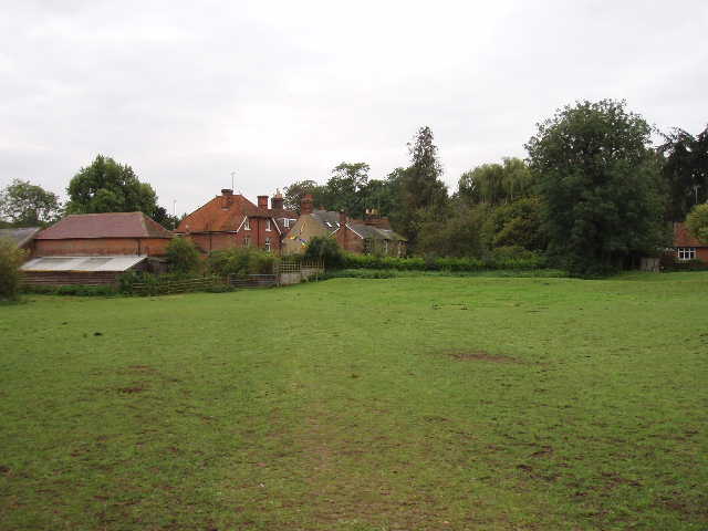
From here, a path led past a pub to a sports field. On the other side of this was a very short descent down an embankment to a dual carriageway. The Hertfordshire Way guide book warns that this is a dangerous crossing. I had no difficulty getting across either time, but wouldn’t like to try it during the rush hour. On the other side, a short path led to a road in the hamlet of Titmore Green. Opposite another pub, a footpath led through four small paddocks. The horses in the first were very friendly, coming over to let me stroke them both times I passed through – they were probably disappointed that I didn’t have anything for them, but I never feed horses, or any other animals, as I know some owners are concerned about what their animals eat. From the fourth paddock, a good path then led a long way through three fields, rising gently to reach Almshoe Bury farm [5,6]. On the other side of the farm, another ploughed field meant I had to divert along the field edges again before picking the path up again in a stubble field, as I descended to a valley bottom road near the Royal Oak pub.
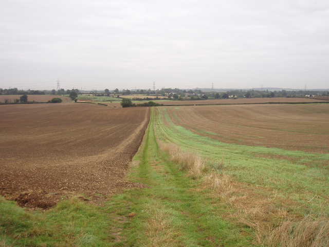
[5] Looking back from path to Almshoe Bury farm
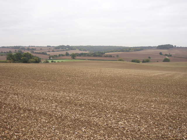
[6] View from near Almshoe Bury farm
I was now on familiar ground, as the remaining three or so miles of my walk shared the route of the northern extension of the Chiltern Way – I had walked this section about four months previously (see Day 7 of my Chiltern Way walk). From the pub (at least the fifth one so far!) a clear path led steadily uphill, at an angle to the slope. At its highest point, the corner of a small wood, it passed the ruins of Minsden Chapel [7]. The hamlet of Minsden, mentioned in the Domesday book, appears to have died out by 1650, and the last service at the chapel was in 1738. A local historian, Reginald Hine, was buried in the ruins in 1949, and his gravestone can still be seen amongst the undergrowth (info courtesy of Nick Moon’s Chiltern Way guide book).
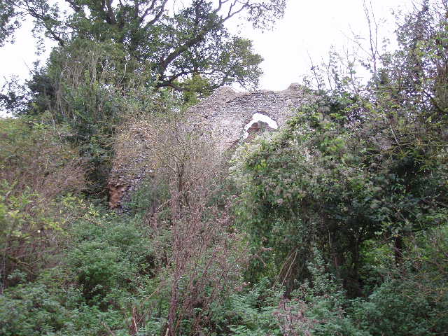
[7] Ruins of Minsden Chapel
The Hertfordshire Way then descended slightly and crossed a road, before a short but steepish path led to a small cluster of houses. Another path, initially through a garden, led alongside a hedge and then through a small wood to a lane. On the other side, the path went across a large ploughed field (fortunately the path had been marked out), through a small meadow and another small wood to reach a road. The short road walk that followed was rather dangerous, as the road was narrow and twisty and there were next to no verges – it passed the entrance to Staggenhoe Park, now a Sue Ryder home but in the 1880’s the home of Sir Arthur Sullivan of operetta fame. Another short field path then led to the attractive village of St Paul’s Walden [8], where volunteers were tidying the churchyard. The late Queen Mother was baptised in the church in 1900.
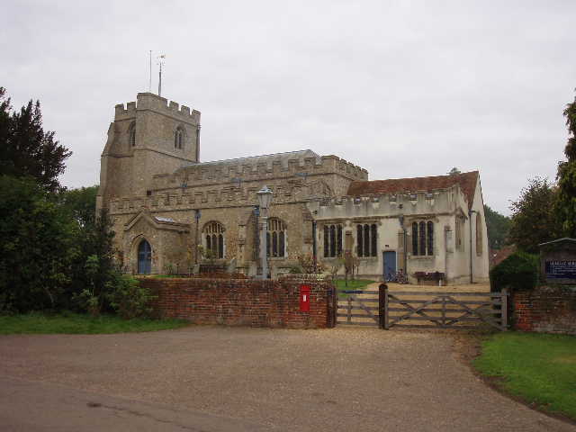
[8] St Paul's Walden church
[9] View from near St Paul's Walden Bury
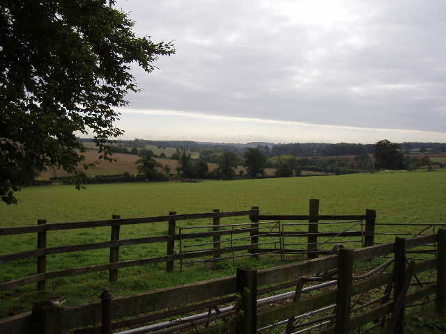
A pleasant track led slightly downhill from the church, to reach the drive to St Paul’s Walden Bury (the house where the late Queen Mother was allegedly born) [9]. Part way along the drive, I turned off onto a path that led through a sequence of horse paddocks [10], eventually going downhill to reach the village of Whitwell [11] (apparently pronounced Whi’ll by the locals – well, it is near Lu’on). I walked a hundred yards or so along the main road through the village, before taking a fenced path uphill. This emerged at a field-side T-junction, my destination for the day – here the Chiltern Way turned right, the Hertfordshire Way turning left.

[10]View of Whitwell across the Mimram Valley
[11] Entering Whitwell
I enjoyed the walk back to Willian, arriving back at the car by about 3pm. It had been grey and overcast all morning, but some blue sky started to appear on the eastern horizon about 12.30. It was a warmer day than my previous walk with no noticeable wind, so I had no need for my fleece. This was the first walk that I used my new digital camera (an Olympus Mini-mju S, 5 Megapixels, lightweight, weatherproof and very small).
Total Distance: 30.5 miles each way