Pete's Walks - Kensworth-Redbourn in the snow
On
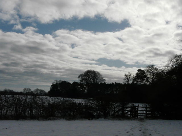
Wednesday, 11th February 2009 I did a variation of my circular walk from Kensworth to Redbourn and back (see here for details of that walk). I did it in the anti-clockwise direction, which I’d only done once before. It was a cold day, with several inches of snow on the ground still. Some paths were very icy indeed, whereas others were very muddy - I realised that it depended on whether the path was on the southern side of the hedgerow (muddy) or the northern side (icy). The snow, ice and mud made for slow and tiring walking - the walk took about five and three quarter hours, around an hour or so longer than usual (though I had varied the route slightly).I set off just before 10am. I took the very familiar route to Holywell, via the Whipsnade Road and Dovehouse Lane - the larger of the two fields between these roads was covered in several inches of snow that crunched pleasingly under my boots. From Holywell I took the path to Byslips road, crossing another large field of crunchy snow. I continued on and took the green lane that is the extension of Roe End Lane - in places there was a ’stream’ of water running on a gravel bed in the centre of the path, with some interesting ice formations above it.
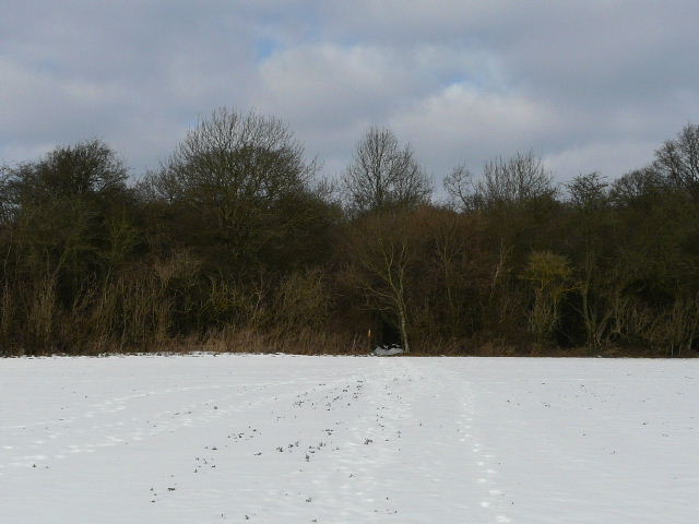
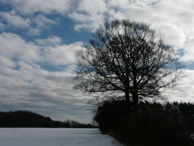
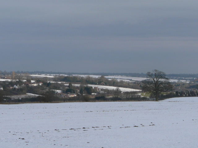
Looking back to the wood on the edge of Holywell, from the path to Byslips Road
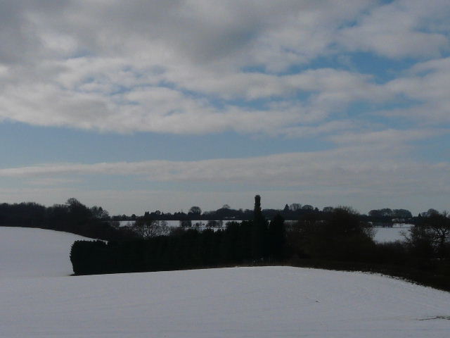
Looking towards Studham Common, from the 'public highway' to Roe End
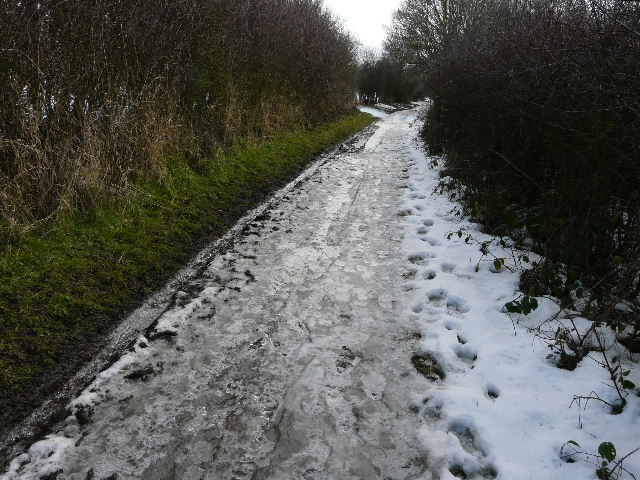
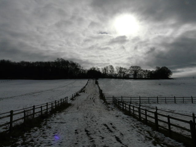
The very icy 'public highway' to Roe End
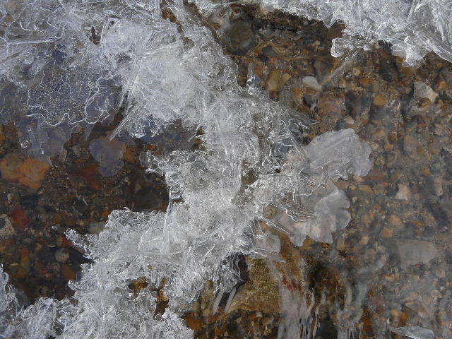
Water flowing under the ice, along the 'public highway' to Roe End
From Roe End I took the field path to Cheverell’s Green on the edge of Markyate, and briefly went down Friendless Lane. I took the usual path that runs parallel to the lane, but after a few fields I turned right on to a permissive path, which I’d not used before. This followed a hedgerow downhill to reach a lane running along a valley bottom, where I turned left. After about a third of a mile I reached a bend where the lane turned left and went uphill, but I continued ahead along a bridleway, still following the valley bottom and now back on my normal route.
The path parallel to Friendless Lane
The path parallel to Friendless Lane
The bridleway took me to Trowley Bottom. Here I again deviated from my usual route by forking left onto a bridleway - I was now following a route to Redbourn that I’d walked in the opposite direction when I did a walk from Studham Common to Briden’s Camp and Redbourn, a couple of weeks ago. The bridleway crossed the valley where I once met a boy fishing for alligators, and then I followed a footpath that ran for over a mile beside a left hand-hedge and then just inside the edge of a wood. This route is pleasanter but slightly longer than my usual route, which follows a farm track through huge fields to Flamsteadbury.
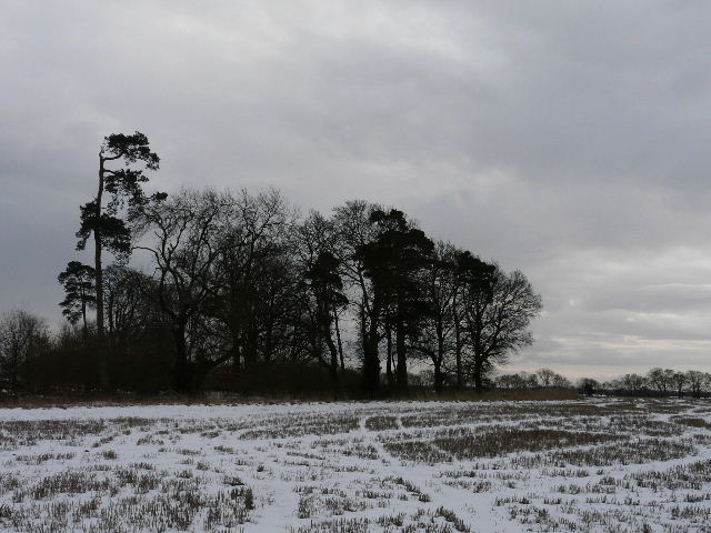
Bridleway near Flamstead (where I once met a boy fishing for Alligators!)
The path to Redbourn follows the hedges and woods on the left
The path eventually turned left and crossed the M1 near a farm. I turned right and followed a path behind gardens to reach the huge green in the village of Redbourn. I stopped for lunch on a bench overlooking the cricket pitch. A Buzzard flew overhead just after I sat down. A friendly gentleman from Ireland stopped and chatted to me - he was visiting his niece and said how much he enjoyed walking the footpaths and bridleways in the summer months.
I was a bit worried as I set off after lunch - it had taken me over three hours to reach Redbourn, and I was only about halfway through the walk. I usually prefer to get well over half the walk done before lunch. The skies had been a mixture of blue sky and clouds during the morning, but now grey clouds were becoming dominant. My path led past a couple of schools and on back into the countryside. I crossed another bridge back over the M1, and headed on back across the alligator valley (where I saw another Buzzard) to reach Flamstead.
I took Friendless Lane for a few yards, then took a path on the right. I spotted a male Bullfinch here, flying along a hedgerow. It was then tough going over a ploughed field where the snow hid the line of the path, then there was a huge stubble field where the snow was again crunchy underfoot. When I reached a hedgerow, the path was solid ice and I had to take care as I followed it past some allotments to reach Markyate.
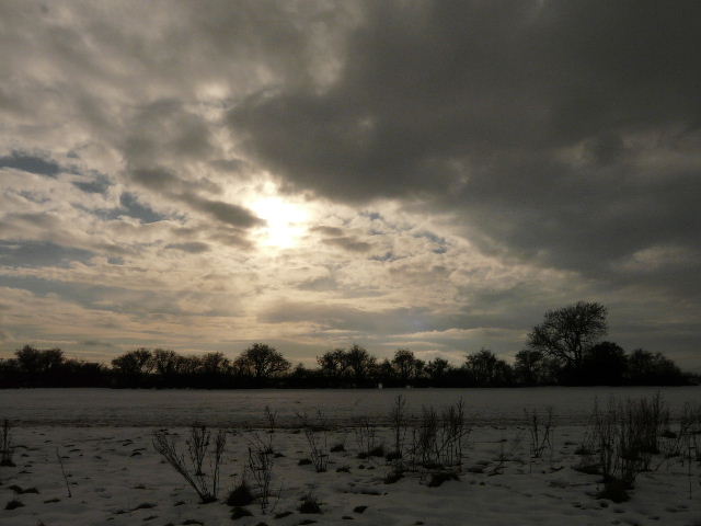
Looking towards the A5 near Friar's Wash
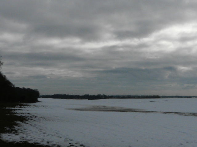
The path from Markyate followed a hedgerow on my right, through a couple of sports fields then a large field of stubble. This path was very wet and muddy, being on the southern side of the hedge. The only other time I did the walk in this direction, I went to the Lynch and on to Church End and Hollicks Lane, avoiding the long drag of three quarters of a mile along the main road through Kensworth. But the mud and snow had tired my legs, it was getting a bit late, and the grey clouds ahead reminded me that rain had been forecast for the late afternoon, so I continued on my usual route. The paddocks just before I reached the road in Kensworth were again very muddy. It was a weary trudge along the road through the village, but it seemed to go quite quickly, and I got home just before 4pm.
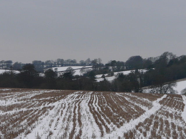
Near Markyate
View near The Lynch, Kensworth
Near Kensworth
This was an interesting variation on a familiar walk, and I’m sure I’ll repeat it again sometime. I always like walking through snowy conditions, though it can be tiring on the legs. It was very tiring walking today - either the snow or mud was making it hard work, or else I was having to concentrate really hard on icy sections (which included all the lanes I walked). I really needed the exercise, having not had a long walk for a week.