Pete's Walks - Wendover Arm of the Grand Union Canal (part 1)
I did this walk on Monday, 8th June 2009. It was a very grey and cloudy day, with a few sunny interludes, but it was forecast to stay dry until late afternoon - this looked to be the best day for a walk for a few days, as the coming weather was very unsettled.
I had done the first part of the walk as far as Aston Clinton six or seven weeks ago (as part of a circular walk - see here), and had walked the rest of the route on Day 4 of my Aylesbury Ring walk a few years ago. But this was the first time I'd walked the whole length of the Wendover Arm. Including the initial half mile along the main canal, the walk was about 7.25 miles each way.
I started walking about 9.30am, starting at the large car park at Marsworth Reservoir. I first had to walk about half a mile down the main part of the Grand Union Canal, immediately passing the adjoining Startop's End and Marsworth Reservoirs on my right. The walk got off to a great start when I spotted a female Red-crested Pochard with a duckling on Marsworth Reservoir, only the fourth or fifth time I have seen one.
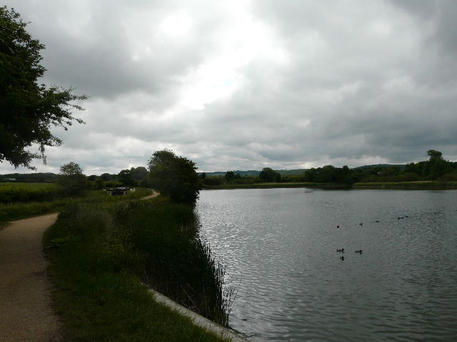
The canal and towpath beside Marsworth Reservoir
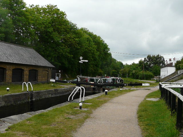
This lock is the highest point on the Grand Union Canal - the signpost indicates where the Wendover Arm branches right
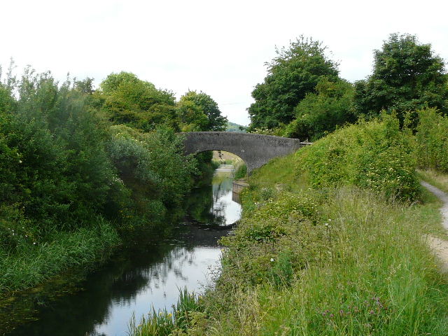
After passing three or four locks in about half a mile, I turned right along the Wendover Arm. Only the first couple of miles or so of this branch of the canal are navigable.
The start of the Wendover Arm
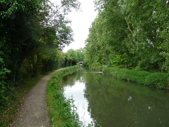
Approaching Tring Wharf
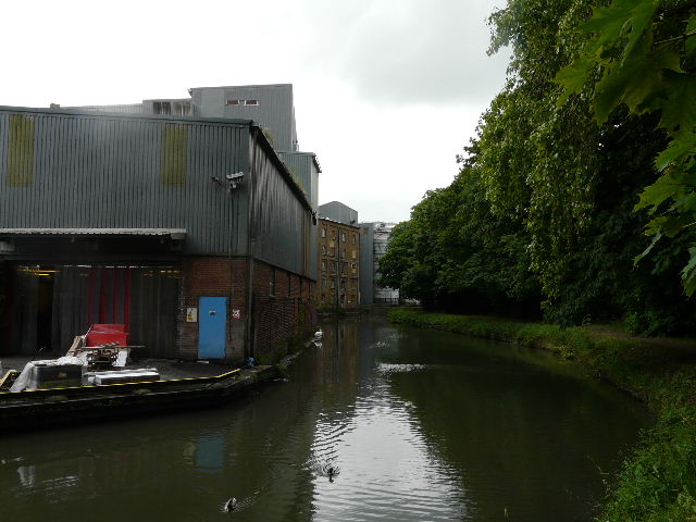
Flour mill at Tring Wharf
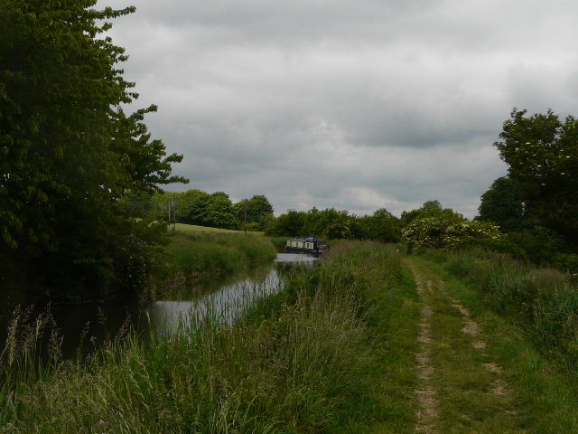
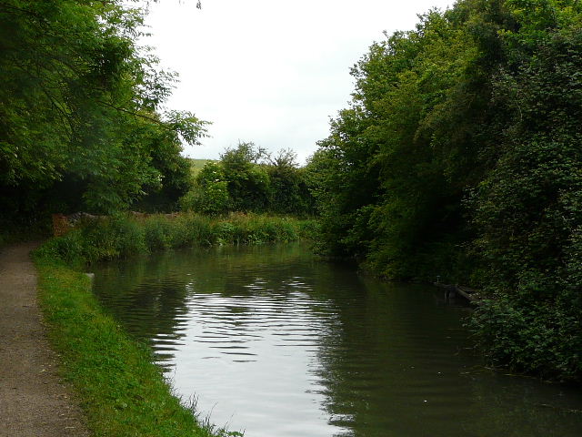
Between Tring and Little Tring
Between Tring and Little Tring
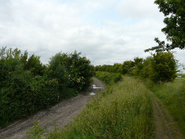
At Little Tring, I turned off the canal and followed a minor road right for maybe a quarter of a mile, before taking a path on the left. This soon took me to the dry section of the canal (about a mile long) - a voluntary group are working hard to have the Wendover Arm fully restored.
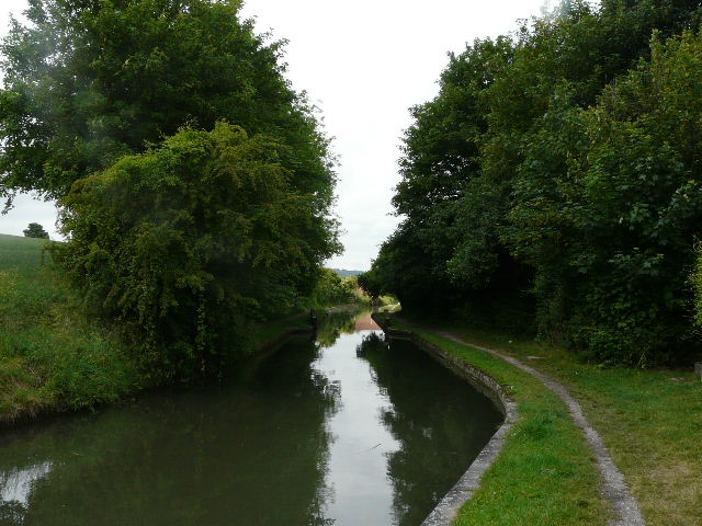
The start of the short path to the dry section of the canal
Near the start of the dry section
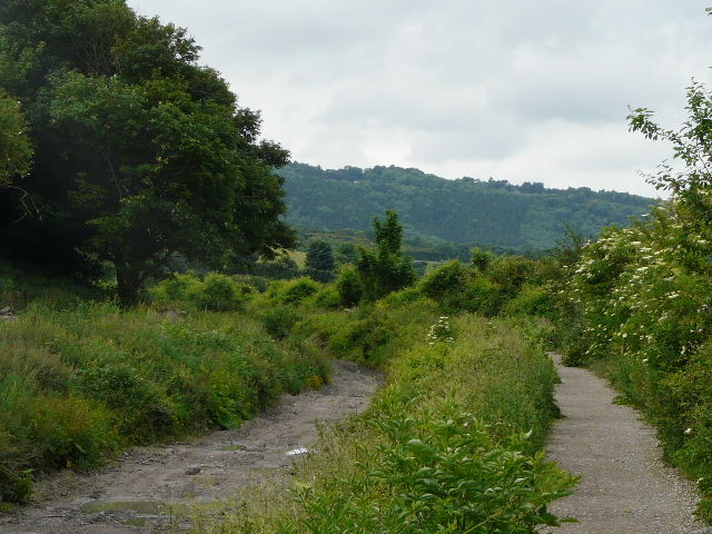
The dry section of the canal, looking towards Aston Hill
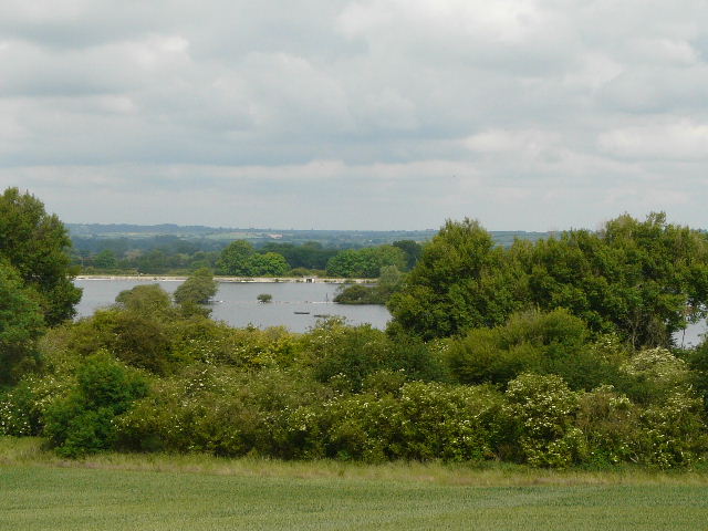
Looking towards Wilstone Reservoir
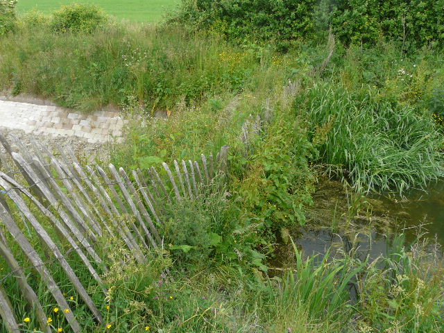
Where the dry section ends, near Drayton Beauchamp
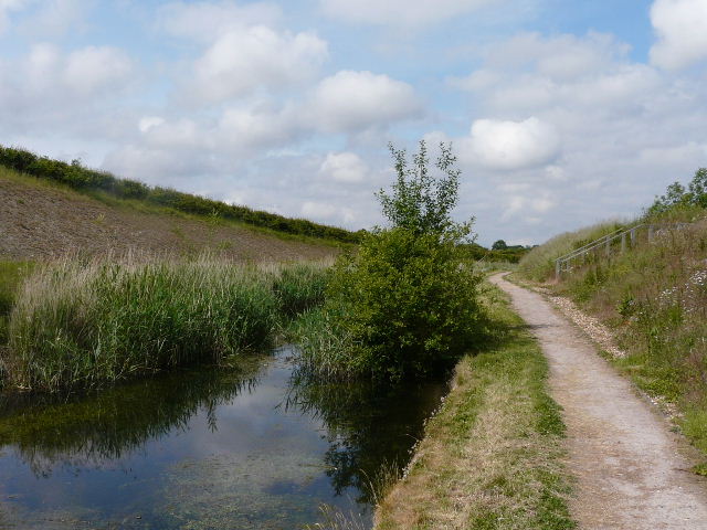
From Drayton Beauchamp all the rest of the way to Wendover, the canal was only a foot or two deep, with the bed usually clearly visible. In places it looked more like a chalk stream than a canal.
Near Drayton Beauchamp
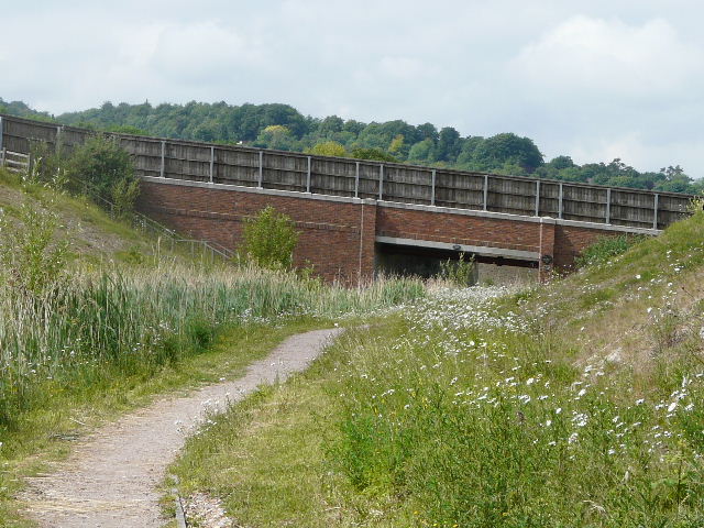
Approaching the bridge carrying the A41 dual carriageway over the canal
The other side of the A41 bridge
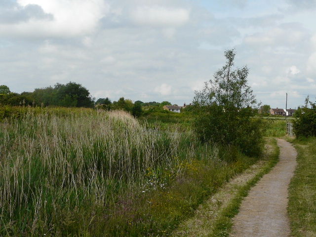
Approaching Buckland Wharf