Pete's Walks - Circular walk round Harpenden (page 1 of 2)
If you are considering walking this route yourself, please see my disclaimer. You may also like to see these notes about the maps and GPX files.
I did this walk on Thursday, 30th July, 2009. It is a circular walk that circumnavigates Harpenden (just about) and is approximately 13 miles long. I did it in the anticlockwise direction, starting and finishing at Redbourn.
Some people have achieved fame through circumnavigating the globe in some way (Sir Francis Drake, Ferdinand Magellan, Sir Francis Chichester, Ellen MacArthur). When I was about 17 or 18, my friend Nigel and I had a far less lofty ambition - we were going to "circumnavigate" Luton! We set off one morning from my home in Kensworth (our first mistake, probably not wise to start about seven miles from Luton!) and started walking in an anticlockwise direction around the Luton-Dunstable conurbation. Our next mistake was not to check before hand what the distance was - in fact we got as far as about East Hyde (coincidentally somewhere I visited on this walk), less than a quarter of the way round, before realising we could never manage it in a day and so turned back. We failed miserably, but it was a pleasant walk and a useful bit of fitness training for when we walked the Pennine Way.
I have recently pondered resurrecting the idea of "circumnavigating Luton", doing it as a series of day walks. The route would pass through some nice countryside, and I've enjoyed other long-distance paths around large towns (the Aylesbury Ring and the Milton Keynes Boundary Walk). Unfortunately, though, I've realised that such a walk would be somewhat repetitive for me - the Chiltern Way almost encircles Luton, and the bit it misses out (between Dunstable Downs and Flamstead) is the area that I walk regularly from my home, so there would be nothing new there for me either. So I've put that idea on the 'back-burner' for now. However, the other day it occurred to me that a walk skirting round the much smaller town of Harpenden might be feasible in a day, and so I came up with this route.
I parked on the common at Redbourn, a few minutes drive from my home, and started walking at about 9.35am - I'd delayed leaving home by quarter of an hour as it had been raining, but the skies were fairly clear now. I crossed a small part of the common and followed a street a short distance to the edge of the village. I now headed southwest along the Ver valley for a mile or so to reach Redbournbury, following a route that was part of both the Hertfordshire Way (Day 7) and the Ver-Colne Valley Walk (Day 1).
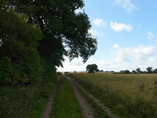
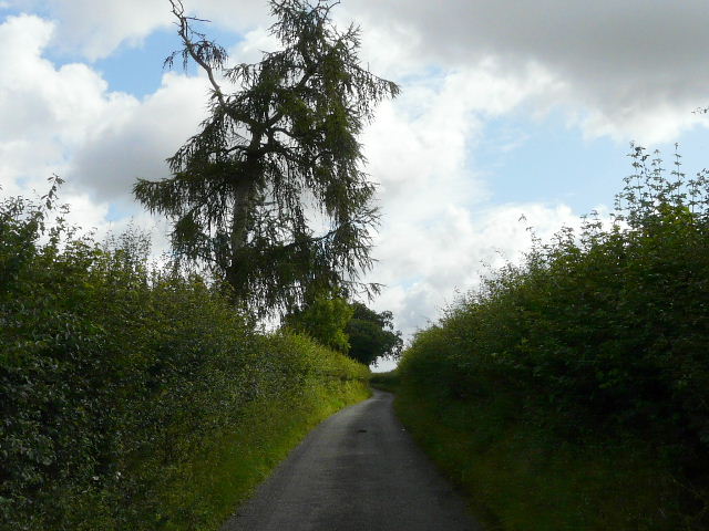
Track leaving Redbourn
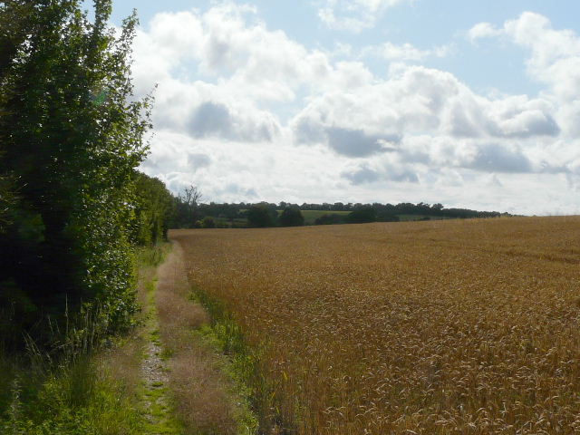
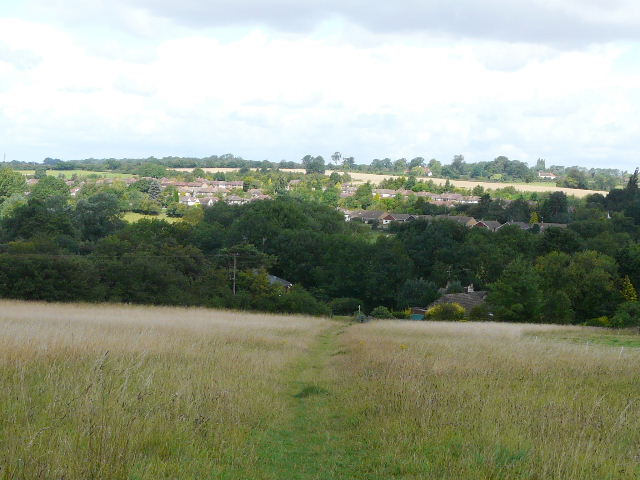
Field path heading towards Redbournbury
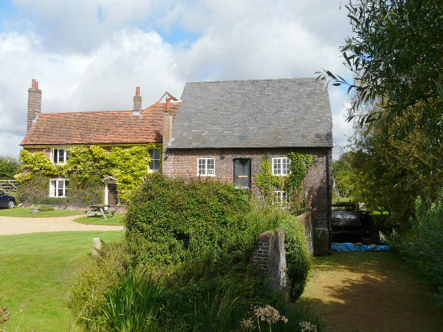
The mill at Redbournbury
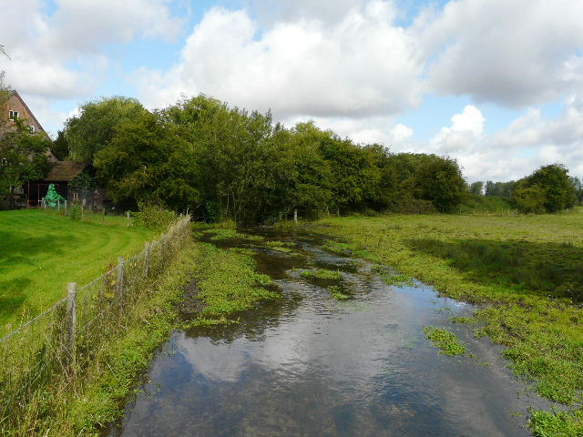
River Ver at Redbournbury
As I passed the farm at Redbournbury, I saw a Little Egret a hundred yards or so away along the river Ver - I'd heard reports of them being sighted here, but hadn't seen one here before myself. It's certainly the closest to my home that I've seen one (the next nearest was on the river Chess near Chenies). I mentioned it to a walker coming the other way - we had a friendly chat about wildlife in the area, he lived locally but obviously from his accent was originally from Scotland.
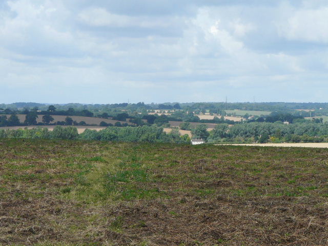
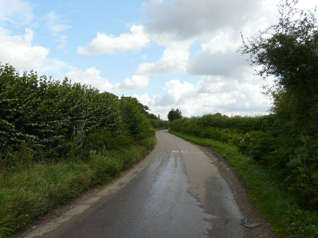
I then left the familiar path I was on (which continued down the Ver valley towards St Albans) and followed Beesonend Lane. I had falsely remembered this as being a farm track when I'd passed this way before (it certainly is as it leaves the farm at Redbournbury and crosses a ford in the river), but where it turned left to head uphill out of the valley it becomes a surfaced lane. I checked my map and realised there was an alternative route north-east from Redbournbury using footpaths, but rather than go back a couple of hundred yards I decided to continue up the lane (I was worried that I might have to walk through a damp crop after the recent rain, which could get my trousers and then socks damp, causing blisters). There was no traffic on the lane (it only goes to the farm) and it was straightforward walking along the lane - there was a nice view behind me across the Ver valley. After half a mile or so, I turned left on a short path to reach a junction with the footpath I could have taken (and will do if I come this way again), and turned right to reach Hatching Green.
Beesonend Lane
The alternative footpath I could have take from Redbournbury comes this way
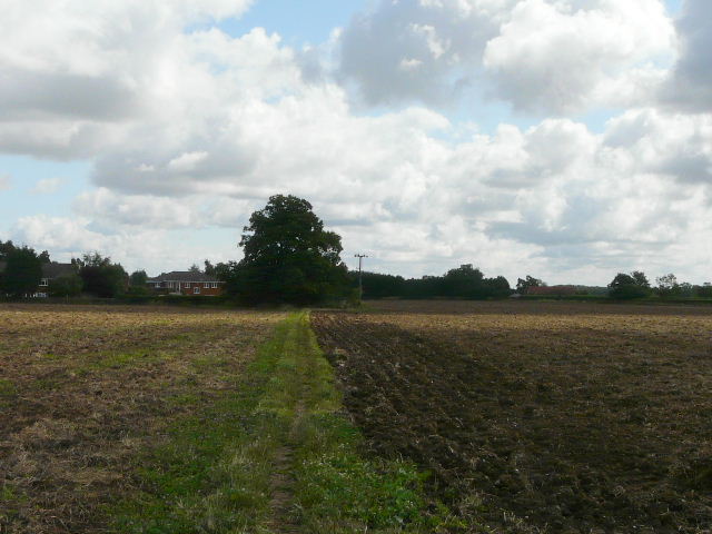
Approaching the edge of Hatching Green
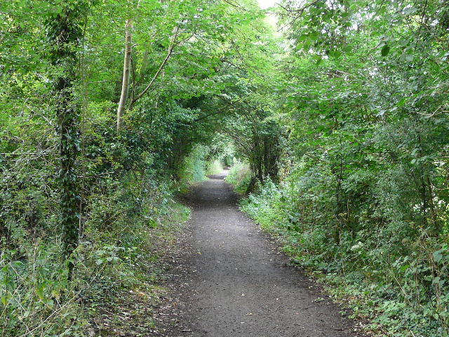
I followed a residential street through the village (basically a fairly modern estate on the edge of Harpenden) and then crossed a main road to reach Harpenden Common - this is an Open Access area, so the golfers here have to share their course with dog walkers and ramblers. I then picked up Mud Lane, a track running just south of the town. It crossed a main railway line and passed a couple of small woods, one on either side. I then had a short walk along a narrow minor road with no verges, a little dangerous but not as bad as I'd feared. My route continued north-eastwards along Pipers Lane for about three-quarters of a mile - at it's far end I managed to photograph a Southern Hawker dragonfly.
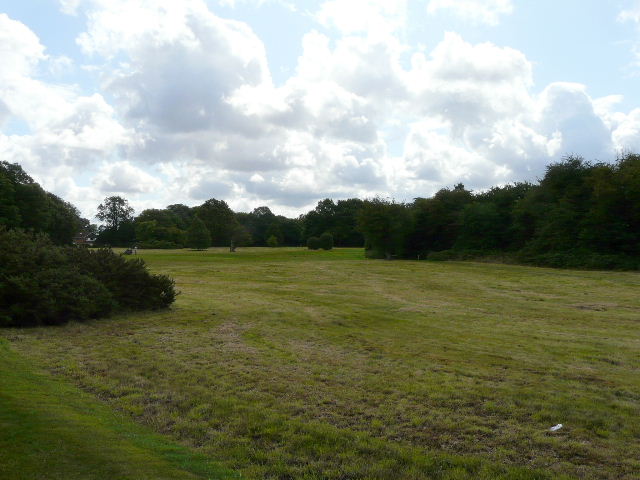
The golf course on Harpenden Common
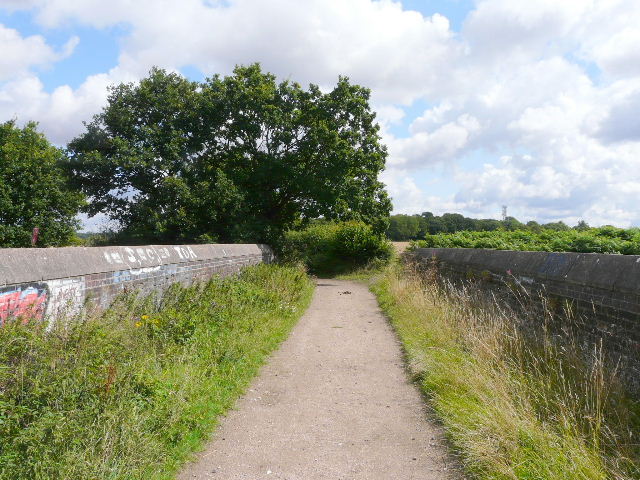
Mud Lane, crossing the railway bridge
Mud Lane
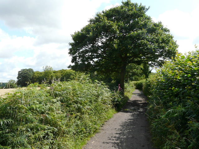
The start of Pipers Lane
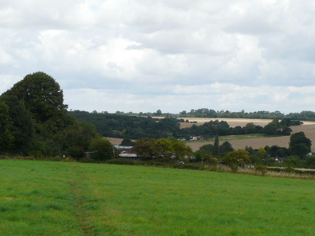
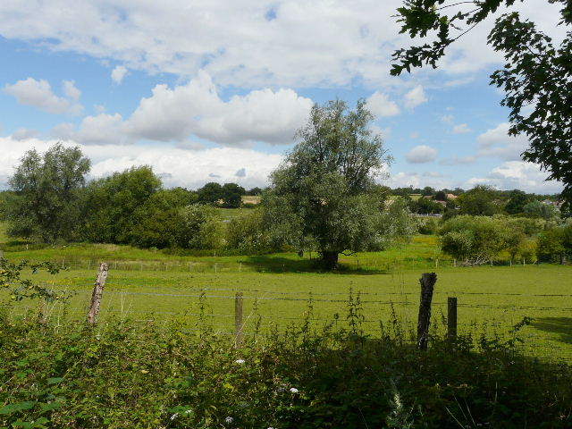
I now crossed a couple of meadows, descending northwards into the valley of the river Lea (or Lee). I crossed a lane in the valley bottom and headed north-westwards along the course of an old railway line - I was now on the route of the Lea Valley Walk, which I'd follow for several miles until I reached East Hyde.
Path heading towards the Lea Valley
Path descending into the Lea Valley
The Lea Valley Path along the old railway line
Meadows in the Lea Valley