Pete's Walks - Markyate, Caddington, Blows Downs (page 1 of 2)
If you are considering walking this route yourself, please see my disclaimer. You may also like to see these notes about the maps and GPX files.
I did this circular walk of about 14.9 miles on Saturday, 5th September, 2009.
I had a look at my maps just before going to bed last night, trying to plan a circular route from home. I said the other week when I did a walk from Caddington that there are no convenient footpath routes between Kensworth and Caddington, but I decided I could do a lengthy walk linking the two villages if I went through the southern end of Dunstable to Blows Downs, and came back via Markyate. I must have been tired, because in the morning it became glaringly obvious that it would be better to do the walk the other way round (anti-clockwise) as that way the sections of the route that coincided with my recent Caddington walk would be done in the opposite direction.
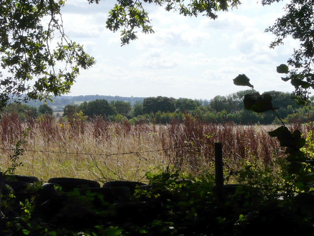
It was a beautiful sunny morning as I set off from my home in Kensworth at exactly 9.30am. Instead of taking my usual route to Holywell, which starts off down the Whipsnade Road, I walked some way down Common Road and turned right into Dovehouse Lane. It was quite a pleasant stroll along the recently re-surfaced lane, for about half a mile to its junction with Buckwood Lane. I went a few yards right, then took a path on the left and then very quickly went left at a path crossroads. This path led past the edge of Holywell on my right. Just after reaching a small wood, I turned left onto a path going through the wood. The path then crossed a huge field, which had been recently ploughed and the path had not yet been re-instated. Fortunately someone else had already been that way and I had some footsteps to guide me (though I knew where to aim for anyway).
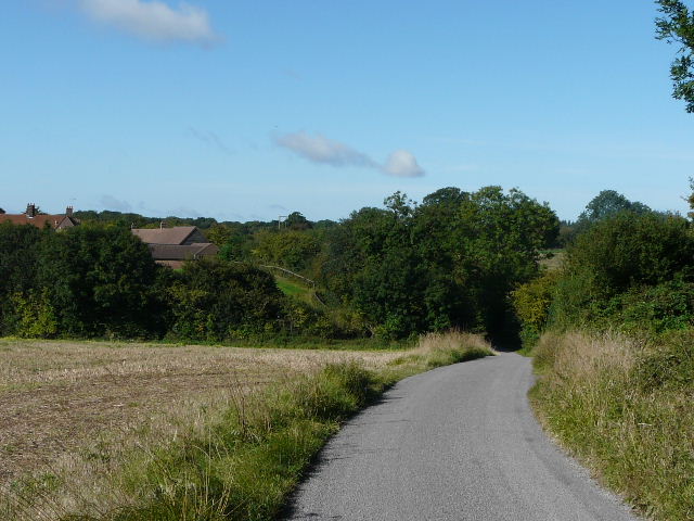
Dovehouse Lane
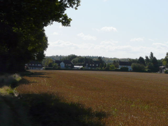
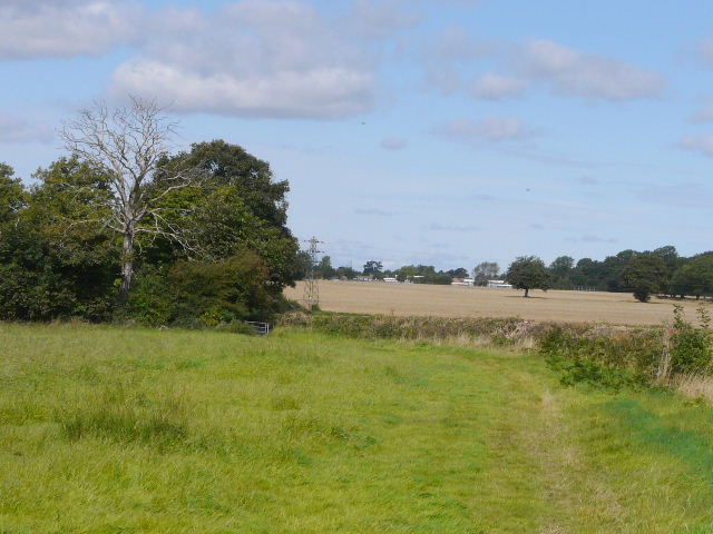
The footpath from Holywell, approaching Byslips Road
I next took a path just inside the southern edge of Byslips Wood, and then turned left along the lengthy path besides the wood. I had always thought that at some point the wood becomes Dedmansey Wood, but looking at the map the far end of the wood is in fact Fareless Wood (a bit of Dedmansey Wood may lie between the two, the map isn't clear on the boundaries of these three adjoining woods). As I passed the end of the wood, I spotted a Red Kite over the field on my left - it was following the tractor that was ploughing the field, something I've noticed them doing before. Sadly, this was the first Kite I'd seen locally for some time. Last year I saw them in Kensworth for the first time, and must have seen them there about ten times that year. This year I've not seen them there once, and I've only heard of a couple of sightings by other people.
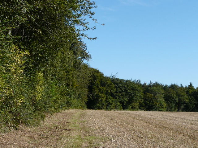
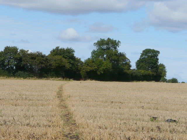
The path to Markyate, beside Byslips Wood
The path to Markyate, from the corner of Fareless Wood - a few yards further on I spotted a Red Kite over the field on the left
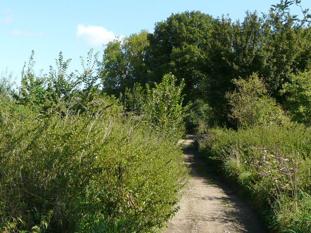
The path from Byslips Wood to Markyate is always a pleasant route and is one of my local favourites. But this way is a far longer route to Markyate than the direct route, down Common Road to the top of Lynch Hill and then along the path above the Ver valley. It took about an hour and a quarter to reach Markyate this way, about 30 minutes longer than the other route had taken me on Monday.
I walked through Markyate, and took the footbridge over the A5. I turned left along a short dead-end lane, then turned right, uphill along the right edge of a green field containing two horses and two foals. I was now walking part of the route I'd done three weeks ago on my figure-of-eight walk from Caddington, but doing it in the opposite direction. I next crossed another ploughed field, but this time with tractor tracks to guide me.
Markyate - this was a real bottleneck on the A5 before the bypass was built in the 1950's
The A5 from the footbridge at Markyate - my route continued along the dead-end lane on the right
Looking back over Markyate
I went a short distance along a lane - where it turned sharp right I continued ahead along a track called Half Moon Lane (named after the pub at the far end in Pepperstock). Part way along the track I passed Broomhill Leys Wood on my right where, as last time, I heard a lot of shooting - since my Caddington walk, Paul Duncan has kindly informed me that the wood is used for paintballing. Further on I passed Limekiln Plantation on my left, and in the far corner of the wood was a small but busy car park with a sign advertising paintballing. I turned off Half Moon Lane here, going left on a field path beside the wood, and again I could hear shots and voices amongst the trees.
Near the start of Half Moon Lane
Looking south-east from Half Moon Lane
Half Moon Lane
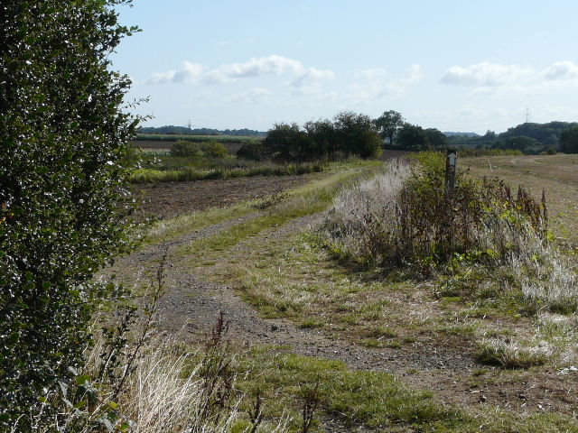
The path to Slip End, alongside Limekiln plantation
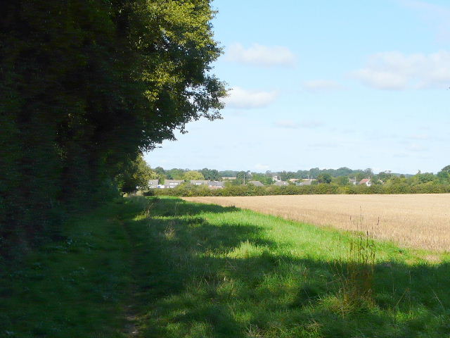
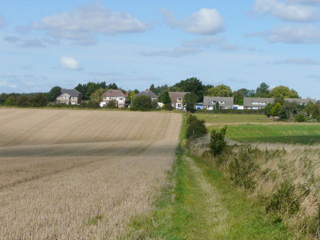
Beyond the noisy wood the path continued along a headland between fields and small paddocks, to reach the western edge of Slip End. I crossed the remarkably straight B-road here (not a Roman road, but like many other similar straight roads created at the time of the Enclosure Acts) and continued along more field paths to Woodside. Across another minor road, more paths took me across stubble fields where a muck-spreader had clearly been at work recently, to reach the large village of Caddington.
Approaching Slip End
Path from Slip End to Woodside
Path from Woodside to Caddington
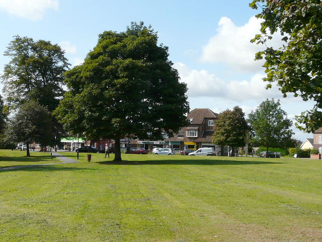
The green in the centre of Caddington