Pete's Walks - Kensworth and Briden's Camp (page 1 of 2)
If you are considering walking this route yourself, please see my disclaimer. You may also like to see these notes about the maps and GPX files.
I did this circular walk of about 17 miles on Monday, 7th September, 2009.
I had done a circular walk from Kensworth to Briden's Camp before (see here). Today I intended to vary it slightly, taking a different route between Gaddesden Row and Flamstead. It was only when I got home and looked at the Google Map for that previous walk that I realised I'd also gone a different way between Byslips Wood and Jockey End (I used the route I take when I walk to Briden's Camp and Redbourn from Studham Common). So I have created a new Google Map for this walk.
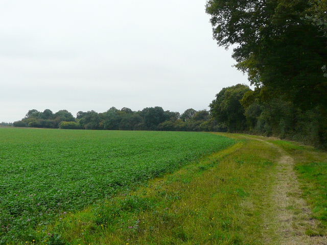
It was a grey and overcast morning as I set off from my home in Kensworth just after 9.30am - unfortunately it would stay like that for most of the day, I'd just get a glimpse of blue sky just before I finished the walk. I took my usual route to Holywell - down the Whipsnade Road, across fields to Dovehouse Lane and along the path the other side of Buckwood Lane. I then took the path to Byslips Road, again crossing a huge ploughed field where the path hadn't been reinstated as I had done a couple of days ago.
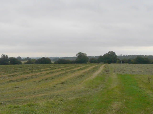
The path from the the Whipsnade Road to Dovehouse Lane
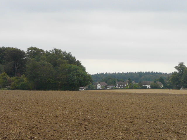
The footpath from Holywell, approaching Byslips Road
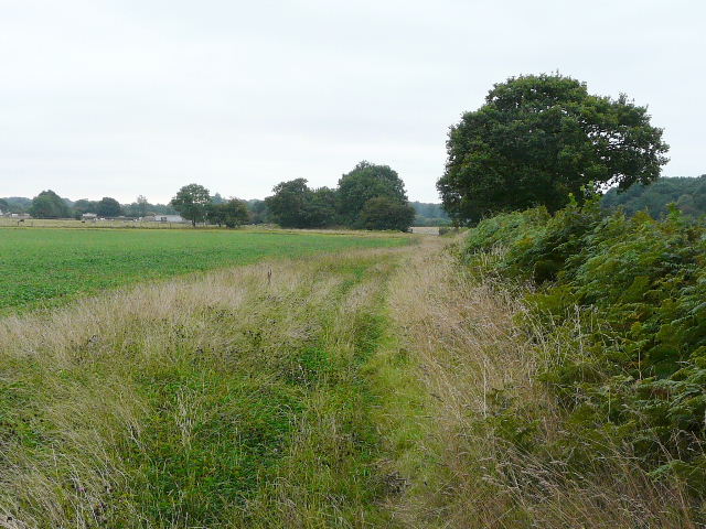
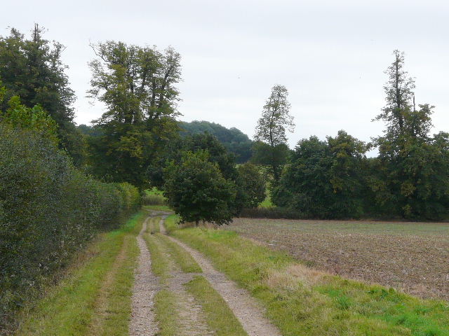
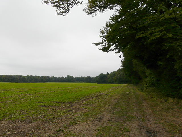
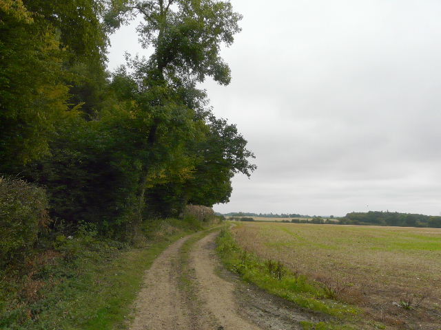
On the far side of Byslips Wood, I turned right and took the 'public highway' to Studham Common. I followed the eastern edge of the common and continued on past Great Bradwin's Wood to reach the hamlet of Clement's End. There then followed the long and familiar path beside hedgerows towards Jockey End. Before reaching a lane near Widmore Farm, I turned left across a huge pasture containing cows, horses and donkeys and followed more field paths to meet the lane closer to Jockey End. I saw a couple of Buzzards here, one of several such sightings today.
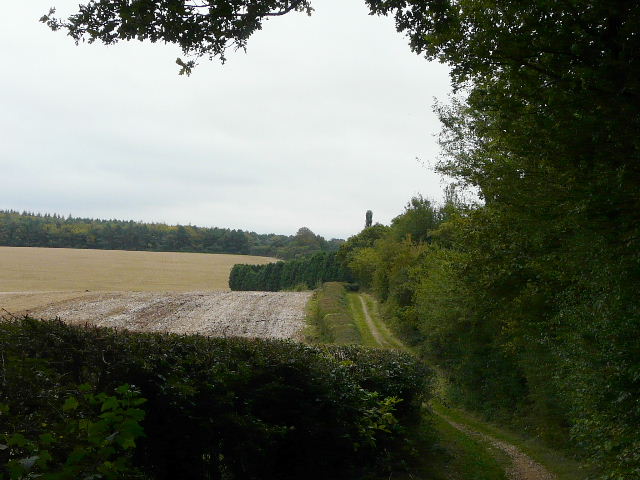
The 'public highway', heading towards Studham Common
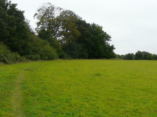
The path along the edge of Studham Common
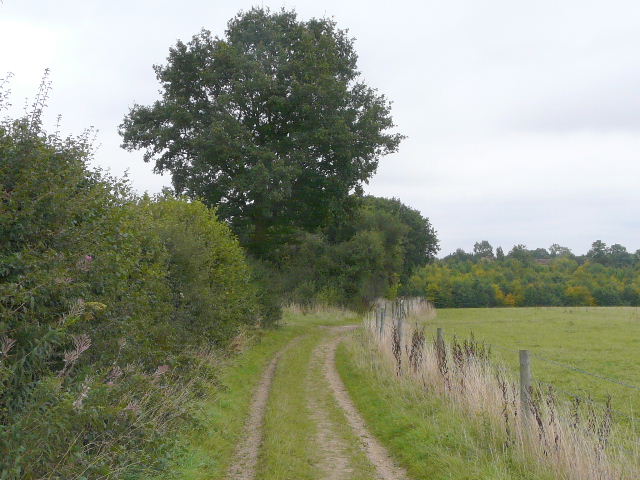
Path between Clement's End and Jockey End
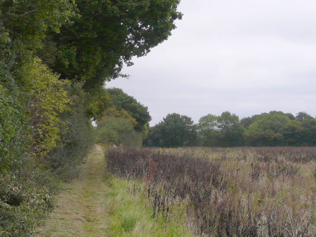
The path to Jockey End
Path on the edge of Jockey End
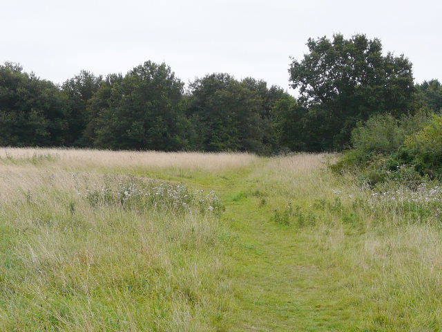
I continued southwest on paths parallel to the long road called Gaddesden Row, over to my left, until I reached the park around the large house called Golden Parsonage, where I turned right. I then went left along a track, before turning right, initially along a grassy ride with horse jumps between an avenue of tall trees, then following a hedgerow to reach a farm drive that took me to the road into the hamlet of Briden's Camp.
Path parallel to Jockey End
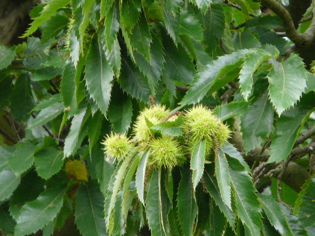
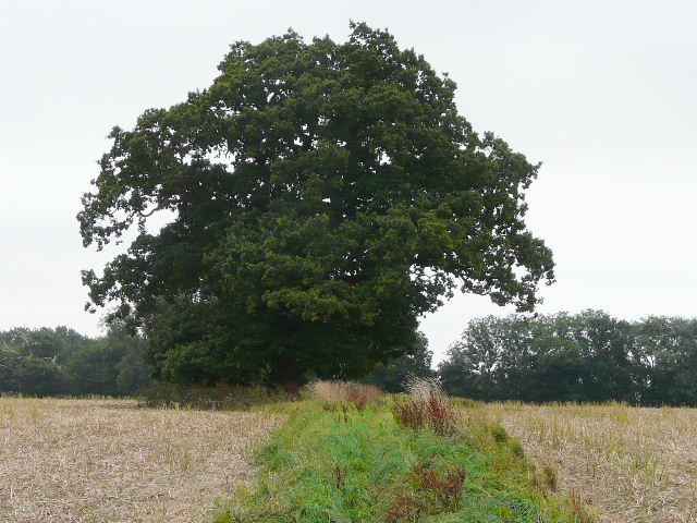
In the park around the Golden Parsonage are some enormous trees that I thought were Walnuts. Last Monday I met a lady walker called Judith in Markyate, and in our conversation she told me that they were actually very old Sweet Chestnuts - I think this photo shows that she was right!
Track near the Golden Parsonage
The path to Briden's Camp
I took the track on the left by the Crown and Sceptre pub, and followed it for about a mile back to the Gaddesden Row road. A few yards to the right, a path started on the opposite side, which took me past the edge of Long Wood to reach a bridleway.
Near the start of the track from Briden's Camp back to Gaddesden Row
The track from Briden's Camp back to Gaddesden Row
Start of the path from Gaddesden Row