Pete's Walks - Harpenden circular walk (page 2 of 2)
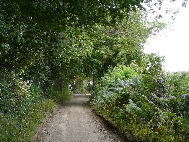
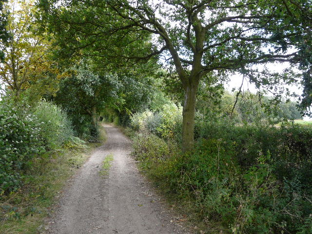
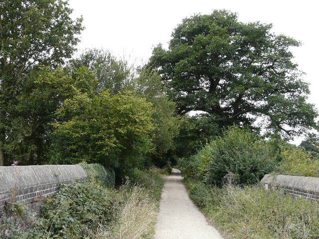
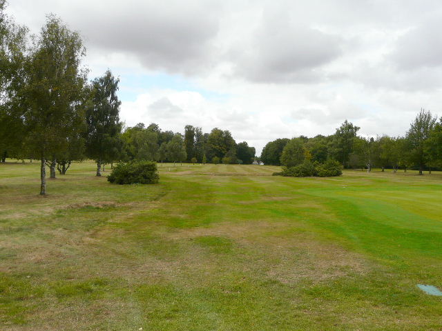
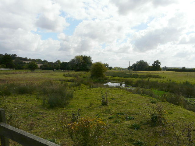
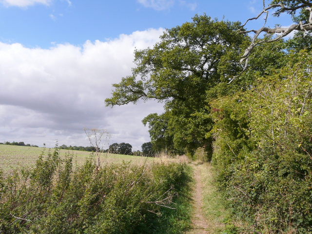
At Leasey Bridge I turned off the railway line, and followed a path heading south, up and out of the Lea Valley. At the end of the path I crossed a minor road junction and followed Pipers Lane for almost three-quarters of a mile, turning left into the wider Ayres End Lane for a third of a mile past a couple of woods, then went right along Mud Lane, a track that is a public byway. This passed two more woods, one on either side, then crossed a railway line on a brick bridge. Mud Lane took me to Harpenden Common, where I stopped to eat my lunch on a bench beside the golf course there.
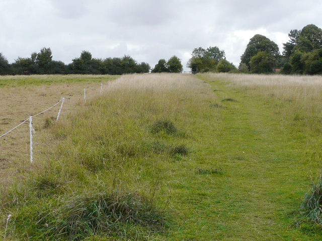
Path heading south out of the Lea Valley
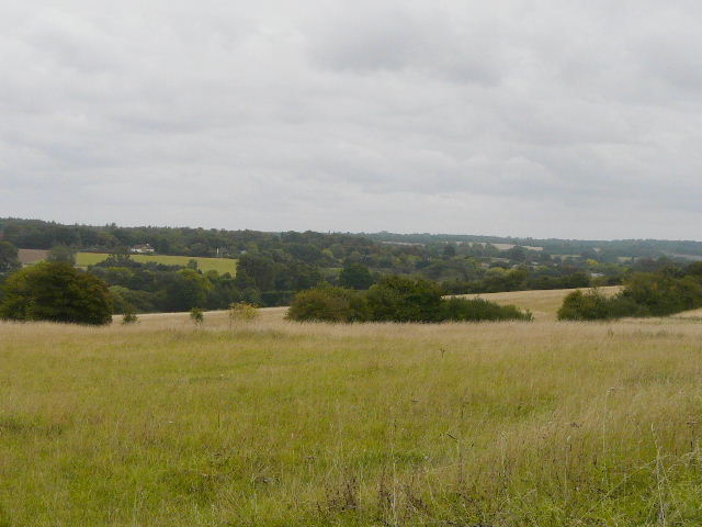
From the same path further on, looking east along the Lea Valley towards Wheathamstead
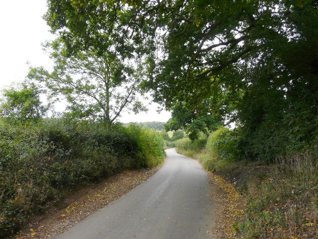
Pipers Lane
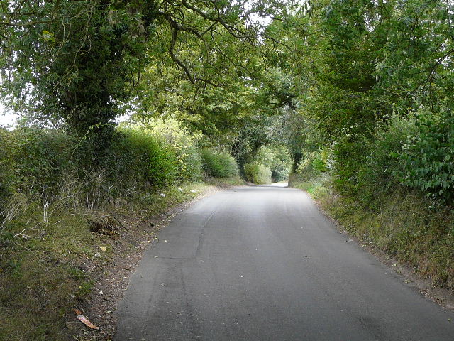
Ayres End Lane
The start of Mud Lane
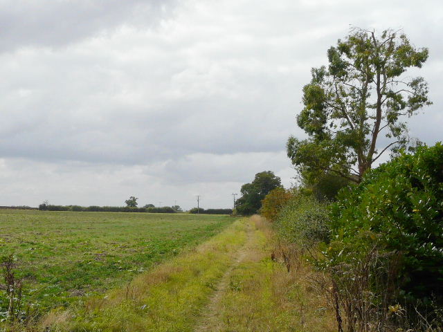
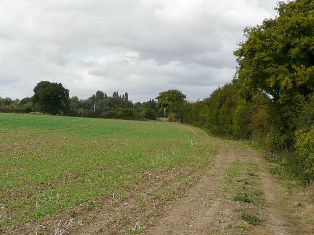
Mud Lane
Mud Lane, from the railway bridge
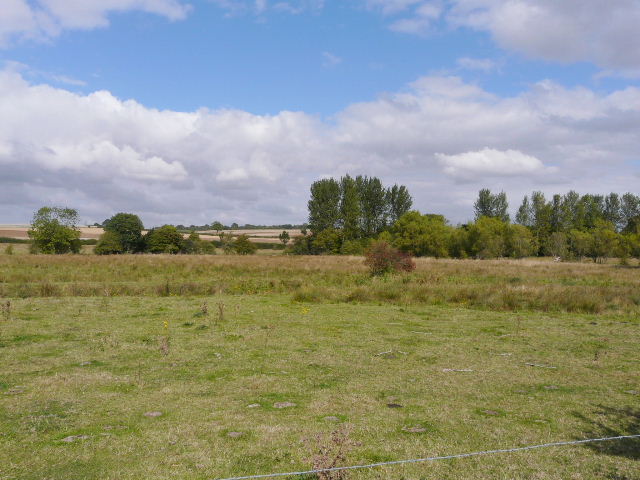
The golf course on Harpenden Common
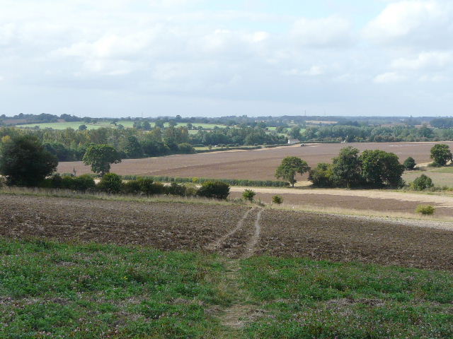
From Harpenden Common I crossed the A6 again, and followed a footpath through a fairly modern housing estate at Hatching Green. The path continued on into the countryside beyond the village. At a junction, I chose to continue ahead instead of turning left and joining Beeson End Lane, the route I'd come from Redbournbury last time. The path was perfectly clear through a field that seemed to have a crop of clover, with nice views ahead as I approached the Ver valley again. As the path descended into the valley, it crossed a couple of ploughed fields. At a path junction I turned left alongside a hedgerow (where I was a little surprised to see a Common Blue butterfly), turning left again along a broad farm track in the field corner. This took me to Redbournbury.
Footpath on the edge of Hatching Green
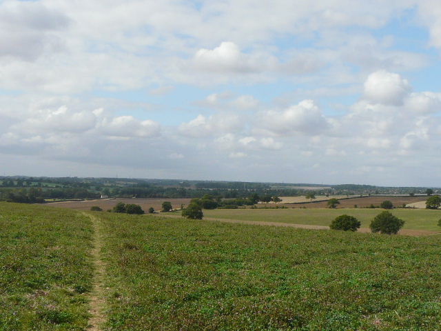
Footpath from Hatching Green, heading towards the Ver Valley
Further along the same path
Path heading towards Redbournbury
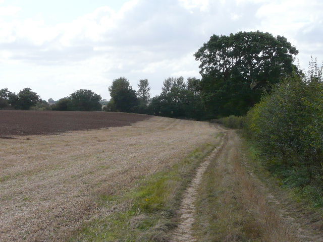
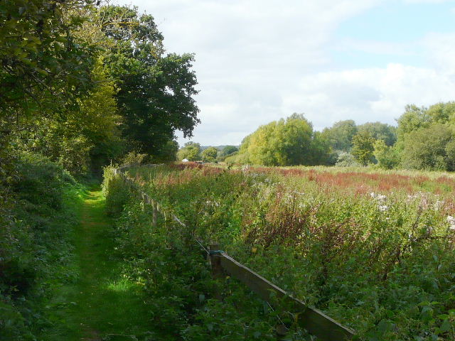
I walked past the farmyard here, crossed the river and mill stream and took the path beside the watermill (the wheel here looks as if it's now almost completed its restoration). The skies had been clearing up since I left Hatching Green, and it was now a pleasant afternoon as I followed the familiar field-edge path to the A5 (the path to Redbourn is part of both the Hertfordshire Way and the Ver-Colne Valley Walk).
The Ver valley at Redbournbury
Near the start of the path from Redbournbury to the A5
The Ver valley, from near where the path meets the A5 south of Redbourn
I crossed the A5 and passed through a garden, continuing past some rather overgrown paddocks and following a hedgerow northwards to Redbourn. I heard and saw a Buzzard here (its getting to be that it's a rare walk when I don't see one!) and as I crossed a stream on the edge of the village a Grey Wagtail flew off.
Near the start of the path from the A5 to Redbourn
The path to Redbourn
As so often, it's hard for me to decide whether I preferred this circular walk in the clockwise or anti-clockwise direction. I think I slightly preferred it when I did it anti-clockwise, but that's possibly because much of the route was totally new to me and it was a sunnier day. Certainly the paths from Hatching Green were preferable to Beeson End Lane which I used last time, and walking them clockwise gave some good views towards the end of the walk.