Pete's Walks - Kensworth and Blows Downs
If you are considering walking this route yourself, please see my disclaimer. You may also like to see these notes about the maps and GPX files.
I did this roughly 7 mile circular walk on Monday, 5th October, 2009.
I am very much a 'fair-weather walker' so this walk was unusual in that I set off in damp and drizzly conditions. Unfortunately the drizzle persisted and grew worse, so this walk is also unusual in that I cut it short, something I've only done three or four times since starting these web pages over four years ago. I'd intended to do a full day's walk from Kensworth over Blows Downs and round to Caddington, returning via Markyate, but when I got to Blows Downs I decided that the weather didn't look as if it would improve, so I just made my home via Beech Road and Church End.
When I went out the back door this morning I didn't realise it was drizzling, so I immediately went back inside and changed into my waterproof Paramo trousers and put my Paramo jacket on, for the first time this autumn. Having donned suitable clothing I set off again, about 9.30am, and followed Common Road and then its continuation Isle of Wight Lane. At Downs House I took a short path on the right to join the quarry path, which I followed to the top of Dunstable Downs.
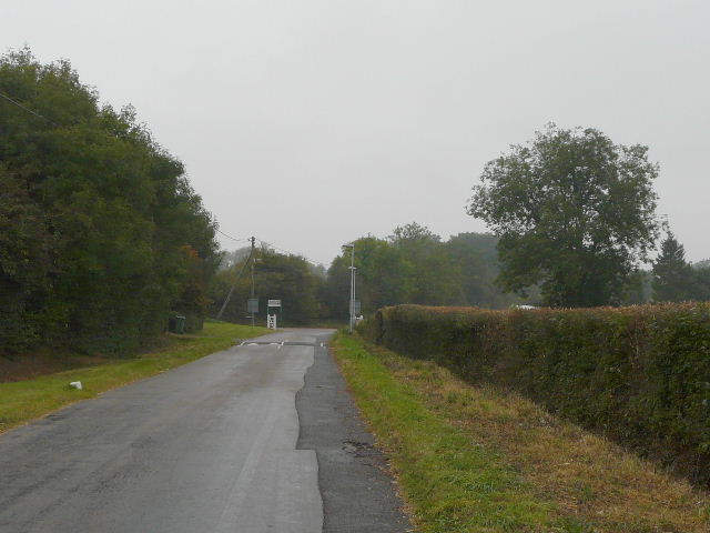
Common Road, Kensworth, approaching the junction with Landpark Lane
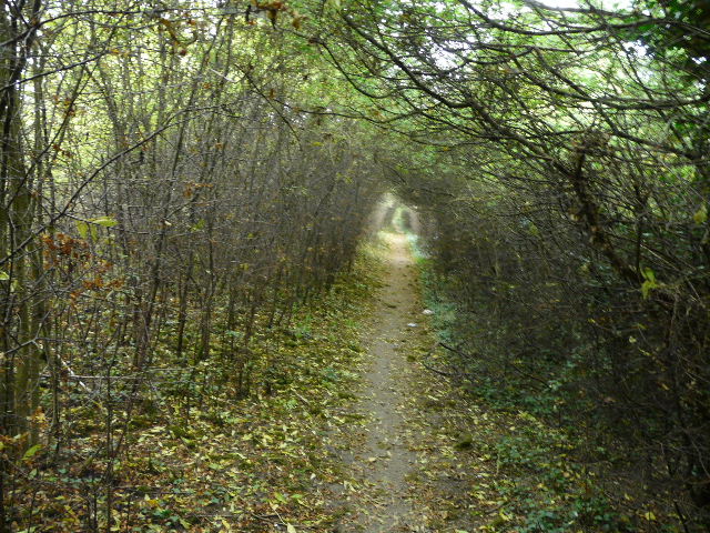
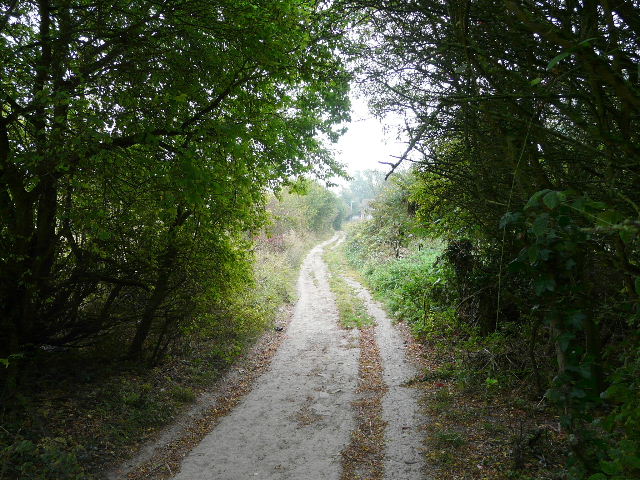
The short path linking Isle of Wight Lane with the quarry path (about 50 yards through the trees beyond the gate)
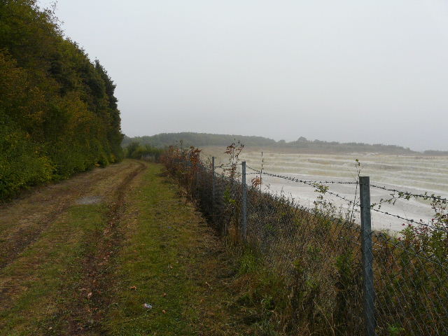
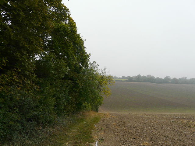
The path round Kensworth Quarry, just north of the drive to the quarry workings
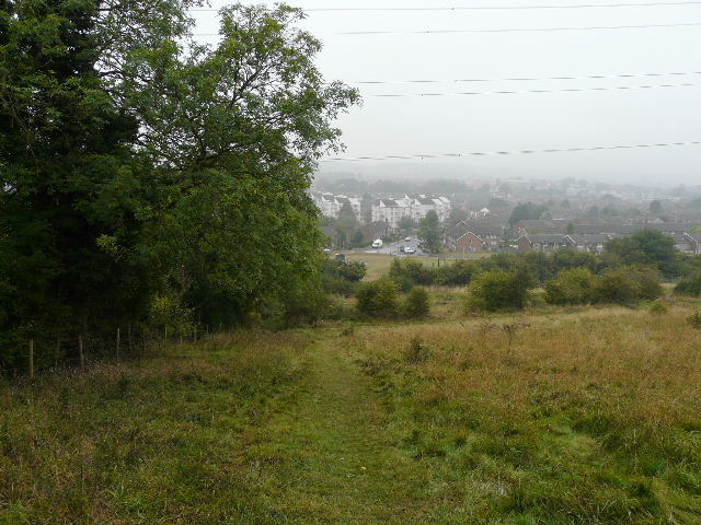
I didn't cross the road on Dunstable Downs, but turned sharp right to take the path across the golf course - this was the purpose of today's walk really, to use this path in this direction, having walked it the other way for the first time a couple of weeks ago. The drizzle made it quite misty, and I was surprised to see a solitary golfer playing a round (it's supposed to be a sport, so why do healthy looking youngish golfers need to use those silly buggies?). The path continued through bushes and small trees beyond the course, gradually descending into Dunstable.
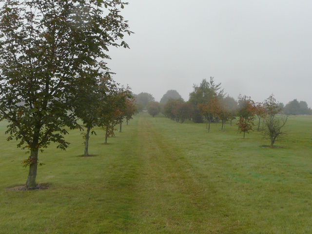
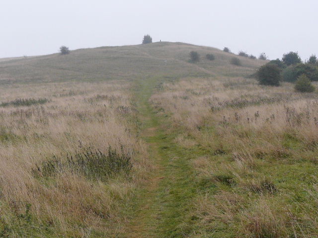
The path through Dunstable Downs Golf Course
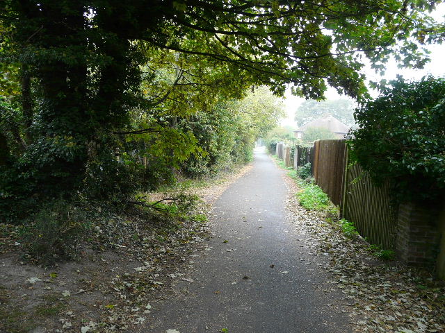
The path from the Golf Course down towards Dunstable
I followed Cemetery Lane for most of the way into the centre of Dunstable (it runs next to the cemetery on West Street), and crossed the A5 to reach Priory House Gardens and the Priory Church. I then followed signs indicating the route of the Icknield Way long-distance path, down streets and along an alley, then down a wide track on the edge of town. The Icknield Way then continues east along the bottom of Blows Downs, but I took a clear path heading up to the top of the downs, at the point where they change direction from north to east.
Cemetery Lane, Dunstable
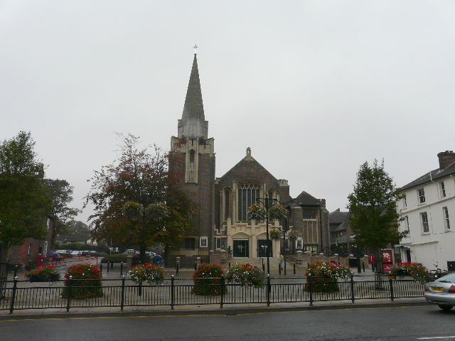
Ashton Square and the Methodist Chapel, Dunstable
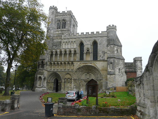
Priory Church, Dunstable
The Icknield Way on the edge of Dunstable, heading towards Blows Downs
The path up Blows Downs (on the corner where they change direction from north to east)
Looking back from the top of the path
The drizzle was now quite heavy and the damp grey conditions looked as if they were going to remain. I decided there was no point continuing with my planned route, it would be better saving it for a better day when the photos might do it justice, so I followed the path that went southwards along Blows Downs, then took a steepish path down back into the southern end of Dunstable and made my way to Beech Road.
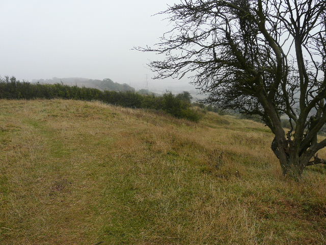
The path heading south along Blows Downs
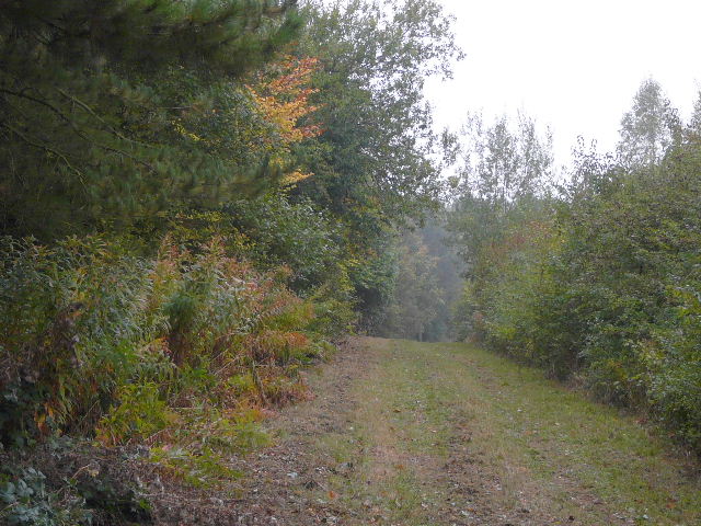
The path back down to the southern end of Dunstable
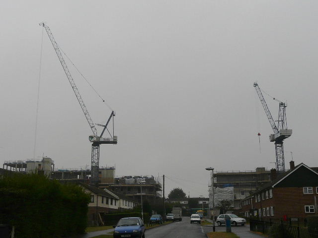
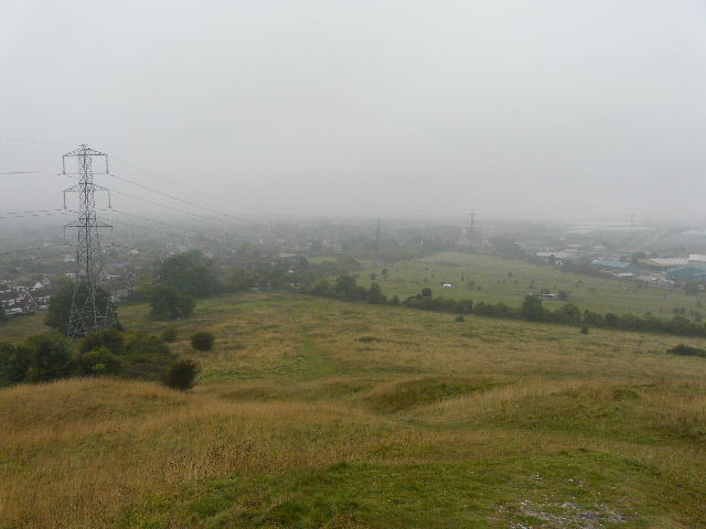
Giant cranes, helping redevelop some flats
Beech Road is on the very edge of Dunstable, rising steeply uphill and soon becoming a lane (it goes to Church End, continuing to Kensworth as Spratts Lane, past the old vicarage I went past on Friday's walk). Just past the top of the hill I went through a gap in a tree belt on my right to rejoin another section of the path round Kensworth Quarry. I followed that path to near Church End, where I took a path that led to Kensworth church, then returned home along Hollicks Lane and the path that runs beside it.
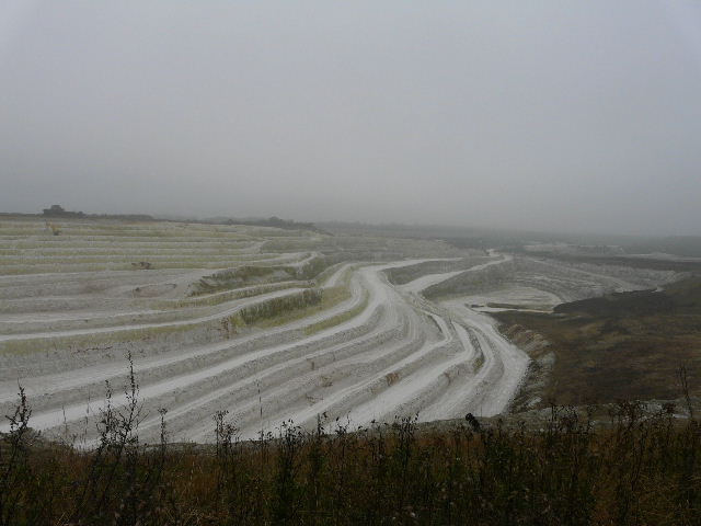
Kensworth Quarry
Back on another section of the quarry path
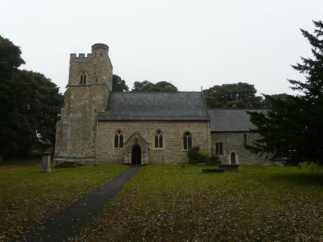
Kensworth church
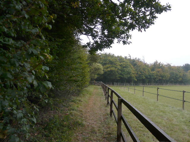
The path alongside Hollicks Lane, between Church End and Kensworth
If nothing else, this was a bit of exercise! The weather wasn't too bad, just grey, damp and a bit depressing - it had been forecast to be mainly dry! The route I came back from Blows Downs was the route I'd originally intended to use when I did my walk through Markyate, Caddington and Blows Downs about a month ago, and the bit through the streets at the southern end of Dunstable at least had the virtue of being new to me. And I got to use the path across Dunstable Downs golf course in the northerly direction for the first time, which had been one of my goals for the day.