Pete's Walks - Alternative Ashridge Walk (page 1 of 2)
If you are considering walking this route yourself, please see my disclaimer. You may also like to see these notes about the maps and GPX files.
I did this 15.5 mile circular walk on Thursday, 21st January 2010. It was a repeat of my Alternative Ashridge Walk, one of my favourite local walks.
When I looked on a weather web site the day before, the forecast had been for a very grey but dry day. I wouldn't normally have walked on such a dull grey day, but I really needed the exercise and there just haven't been any sunny days for ages (except for Sunday). The forecast on the TV in the morning said there might be one or two breaks in the cloud, and in fact there was a sunny spell around lunchtime. But for most of the walk the skies were dull and grey, and visibility was a little impaired - so I'm afraid the photos aren't too great. I'm really getting fed up of these dull grey days, and can sympathise with people who suffer from SAD (Seasonal Affective Disorder) - roll on Spring!
I started walking from the car park by the Bridgewater Monument in the centre of Ashridge about 9.30am. I took the track towards Ivinghoe Beacon, but very quickly forked half-left off it, following a path and then bridleway downhill. Shortly after emerging from the trees at the foot of the steep slope, I turned right and followed a path across fields through the valley of Duncombe. The path continued back uphill, into the trees once more, and climbed to meet the Monument-Beacon track again, where I turned left.
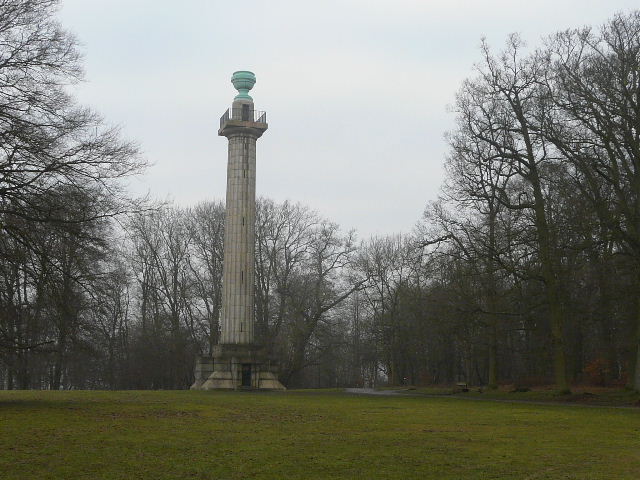
The Bridgewater Monument, Ashridge
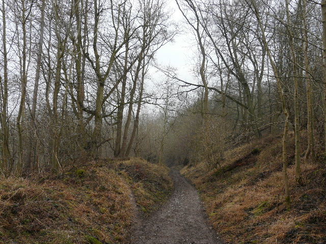
Bridleway descending from Ashridge
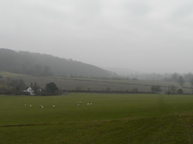
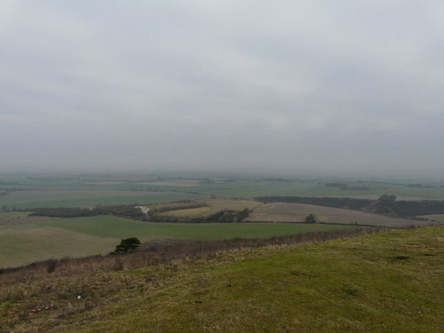
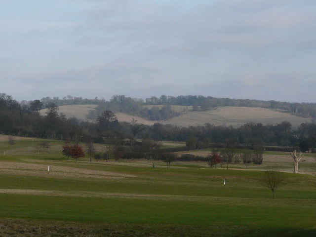
Looking back from near Duncombe Farm
Just before reaching the kennels on Clipper Down I saw a Red Kite emerge from the gloom and pass over the treetops a short distance ahead of me. I continued on along the track, the usual fine views to my right being very restricted in the murky grey conditions. Shortly before reaching the end of the track at the Ivinghoe Beacon-Ringshall Road, I saw my first Fallow Deer of the walk - a group of about 20 bucks, some with impressive antlers and some younger ones with just two 'spikes'. I crossed the road and turned left along its far side, soon reaching the car park for Ivinghoe Beacon. As usual I went over the two little 'hillocks' before going up to the top of the Beacon, where the views were again severely restricted.
The track from the Monument to Ivinghoe Beacon, approaching Clipper Down. A Red Kite had just passed overhead, just above the trees.
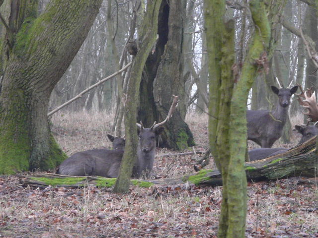
My first Fallow Deer sighting of the walk, just before the track from the Monument reached the road to Ringshall
Ivinghoe Beacon, from near the car park
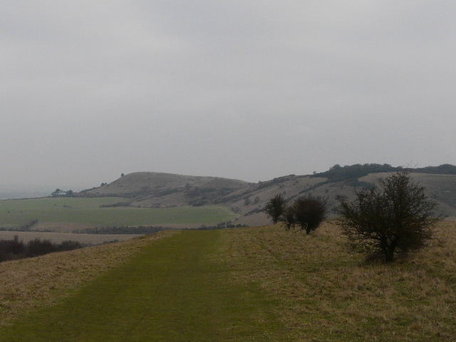
Steps Hill and Pitstone Hill, from the first (taller) hillock by Ivinghoe Beacon
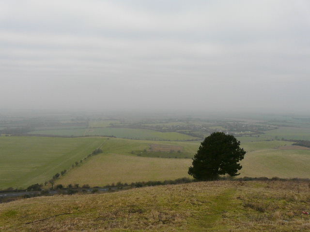
Very dull and grey view of the Vale of Aylesbury from Ivinghoe Beacon
This is actually looking towards Dunstable Downs, but they've not come out because it was so dull and grey
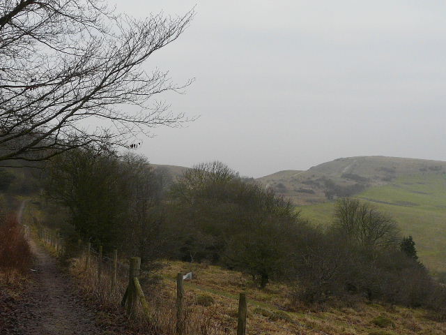
I turned back and followed the start of the Ridgeway National Trail to Steps Hill, passing the steep-sided valley of Incombe Hole and continued on to Pitstone Hill. It was then a pleasant walk through the woods of Aldbury Nowers and then, leaving the Ridgeway, across a golf course to the chocolate-box village of Aldbury. As I approached the village, the sun emerged and there was finally a large patch of blue sky visible.
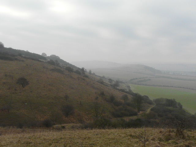
Incombe Hole, from Steps Hill
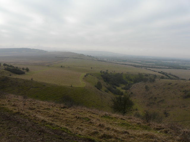
Looking back to Ivinghoe Beacon (left) and Steps Hill, from Pitstone Hill
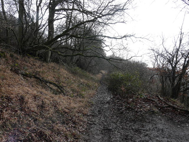
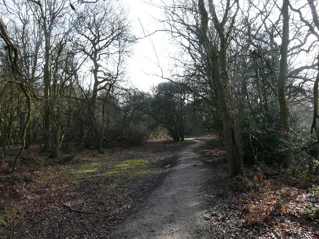
The Ridgeway path entering the woods of Aldbury Nowers
Distant view of Clipper Down from the golf course at Aldbury
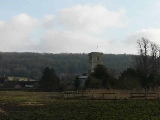
Approaching Aldbury, with the wooded slopes of Ashridge beyond
From Aldbury I took a path leading uphill back into the woods of Ashridge. As I joined the lane to the hamlet of Tom's Hill, I remembered that I often see Fallow Deer here, and sure enough I soon spotted a solitary mature buck over to my right and then a young doe on the left. As I reached the hamlet, I took a path on the left, following it and a subsequent bridleway as they gradually curved right along the edge of the woods to reach another hamlet, Norcott Hill.
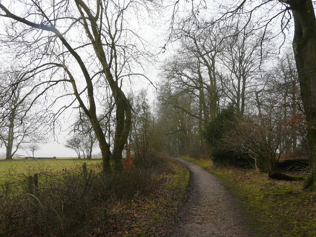
Bridleway between Tom's Hill and Norcott Hill