Pete's Walks - Wendover Woods, Wigginton, St Leonards (page 3 of 3)
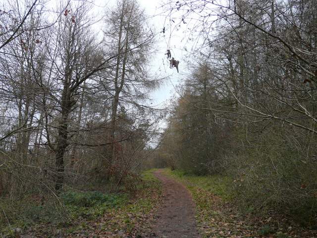
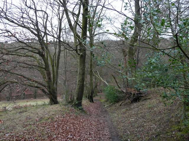
The lane ended at a T-junction, with a footpath continuing ahead through Baldwin's Wood, like the lane following (or parallel to) the line of the ancient earthwork called Grim's Ditch. When I reached a fork in the path I took the right fork. At a couple of points there were views out to adjacent fields, and there was a stretch of about 100 yards where I was in a narrow belt of trees between fields. Beyond that I entered Barn Wood, where the path curved left to reach a junction where I turned right. Almost immediately I went straight on at a path crossroads in the wood. I was then a little uncertain when the path (now a track wide enough for forestry vehicles) seemed to fork, but I correctly figured that I needed to take the left fork (UPDATE 6/2/2024: this fork is no longer there, the track is straightforward to follow). After a few hundred yards, a short path on the right (UPDATE 6/2/2024: this junction is just after the end of a section of wood on the right that has been felled in recent years) downhill to the Ridgeway path, almost at its highest point in Barn Wood.
Near the start of the path through Baldwin's Wood
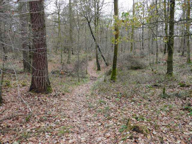
Baldwin's Wood
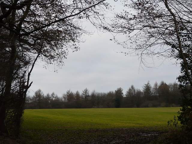
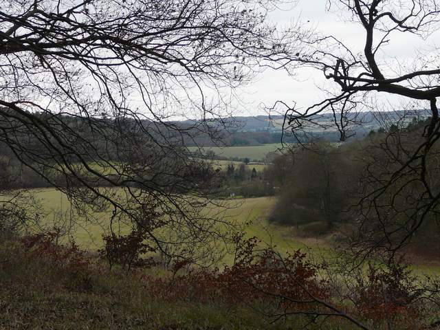
Looking out northwards from Baldwin's Wood
I turned right along the Ridgeway path, and followed it for over a mile through Barn Wood and then Hale Wood. This section seemed longer than I remembered, though I think I'd only walked it once before (on Day 5 of my Berks-Essex Walk). It was very pleasant though, on a broad path through the trees, fairly level after an initial slight uphill section. On my left was a steep wooded slope heading down into a valley called The Hale.
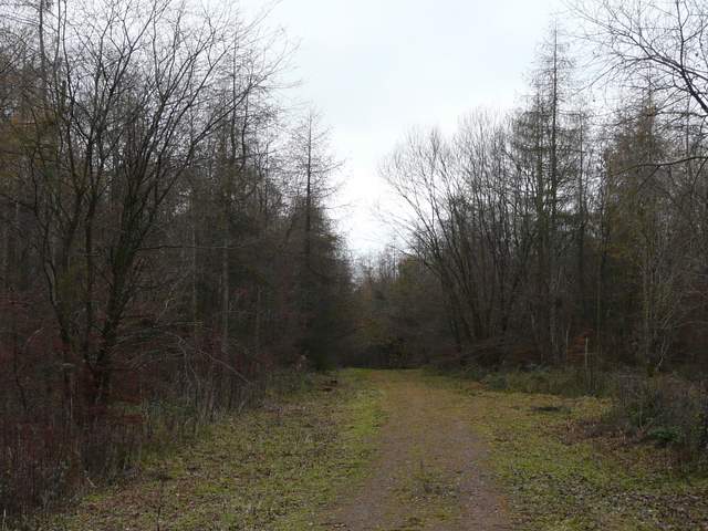
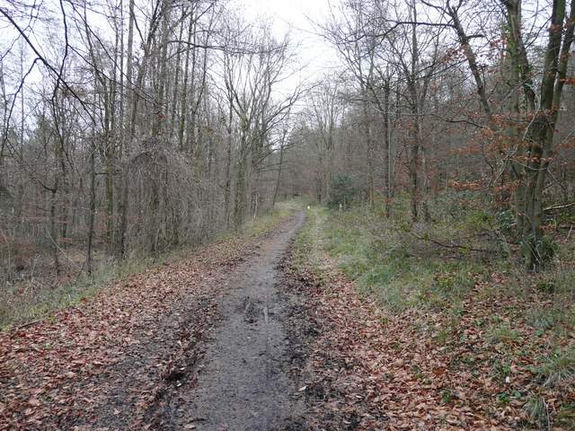
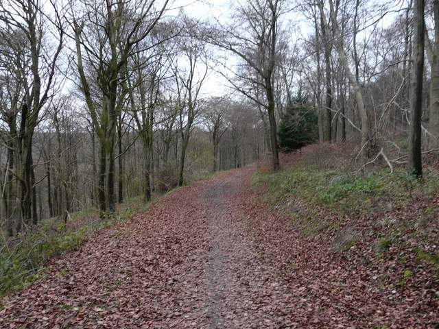
The Ridgeway National Trail, in Barn Wood
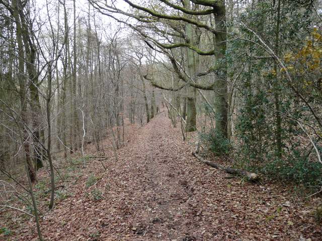
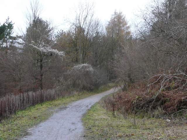
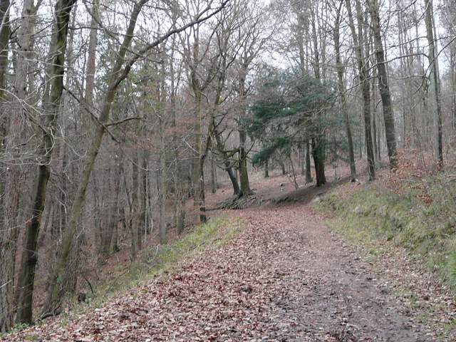
The Ridgeway National Trail, now in Hale Wood (I think)
The Ridgeway National Trail, in Hale Wood
The Ridgeway National Trail, in Hale Wood
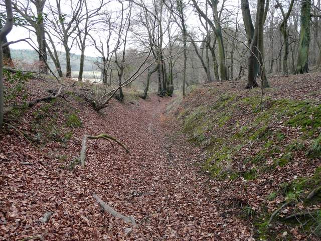
After crossing a lane climbing steeply up from The Hale (I could have saved maybe two miles of walking by simply turning right at the end of Taylor's Lane to reach this point), the Ridgeway continued through an area of beech trees and then started going left, descending quite steeply. When I reached a bridleway in a sunken lane or 'hollow way' I turned left, leaving the Ridgeway which turned right to climb back up the hill (I'm not sure why it doesn't just follow a path along the top of the hill).
The Ridgeway National Trail, just north of the lane
The Ridgeway descending near The Hale
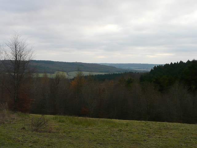
Looking out across The Hale
Bridleway descending to the Hale
About a hundred yards down the steadily descending hollow way I took a path on the right, climbing back up into the trees of what was now part of Wendover Woods. Again the paths hereabouts didn't seem to match the map, but this was the only path I saw on my right. It crossed a bridleway that wasn't on my map (I half expected this sort of thing, as I think the woods are now used much more as a leisure facility than when the map was made) and further on I came to a fork. Both left and right were marked by public footpath waymarks, but again this junction was not on my map. I took the right fork, though I suspect it probably didn't matter too much - I soon came down onto a broad track where I turned right, I guess the other fork would have just met the track sooner. It was then just a matter of following the track all the way back to the forestry centre, again a pleasant section through the woods with The Hale down on my left.
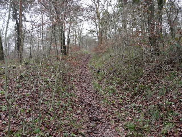
Near the start of the path back up into Wendover Woods
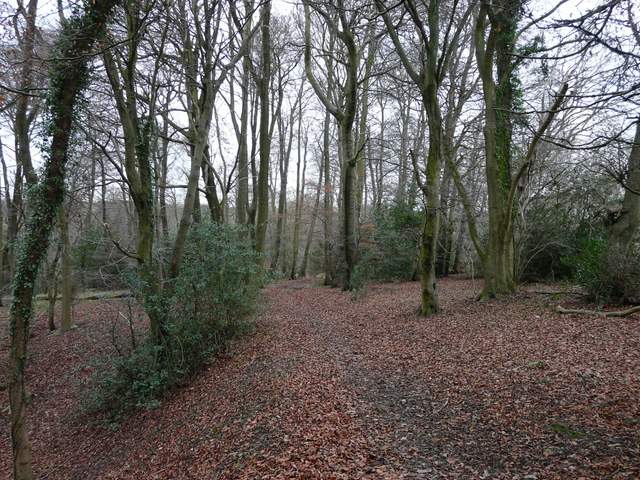
Wendover Woods
Wendover Woods
View back over the Hale towards Barn Wood, from near the visitor centre in Wendover Woods
I really enjoyed this walk, despite the generally grey conditions. I'm sure it would be a very good route on a nicer day, especially for people fond of woods. It was nice to try out a few new paths, despite the few occasions where I had problems following the map. I have to be fair and say that generally the OS maps are excellent, it was most unusual that the paths on the ground (which were marked as public footpaths by waymarks or arrows on trees) differed from those shown on the map. I've seen this often enough in the Lake District, where the course of a path may get changed over a number of years by the thousands of people that walk it each year, but not very often here in the Chilterns.
To see this walk done in the opposite direction on 24/10/11, click here - Wigginton and Barn Wood.