Pete's Walks - Wigginton, Wendover Woods and St Leonards (page 1 of 5)
If you are considering walking this route yourself, please see my disclaimer. You may also like to see these notes about the maps and GPX files.
I did this circular walk of about 12.7 miles on Monday, 24th October, 2011 (during a week's holiday from work). This was a route that I walked in the opposite direction last December, when I came across no less than three instances of discrepancies between the actual paths and those shown on the OS map. I thought that if I did the walk the other way around, this might help resolve the issues and show where possibly I had gone wrong. In the event, the walk just confirmed that in all three cases the map does not match the paths on the ground. I very rarely have any such problems here in the Chilterns so to find three such case in one walk is quite bizarre! So I would hesitate to recommend this as a route to follow.
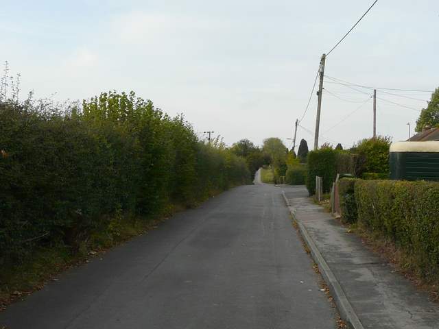
As well as doing the walk in the opposite direction (anti-clockwise), I also chose to start at a different point on the circular route. I started at Wigginton, so as to avoid the £5 (!!!) parking charge at the Wendover Woods visitor centre. I started walking about 9.45am, taking a track heading southwest from Wigginton towards Wick Farm. The track continued on past the farm, with a huge stubble field on my right, beyond which I could see the trees of Tring Park. When the track ended at a lane junction, I continued ahead for about half a mile along Church Lane in the village of Hastoe.
The road out of Wigginton
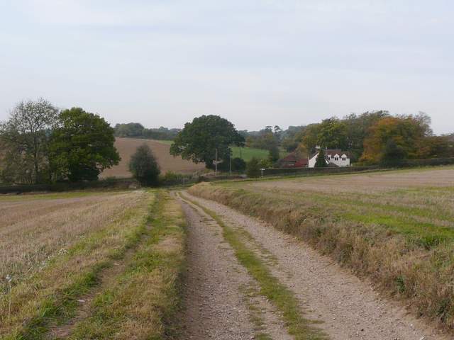
Approaching Wick farm
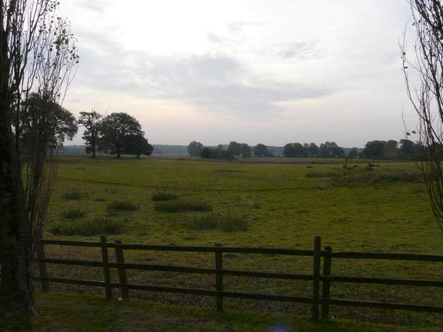
Looking south, from just before Wick Farm
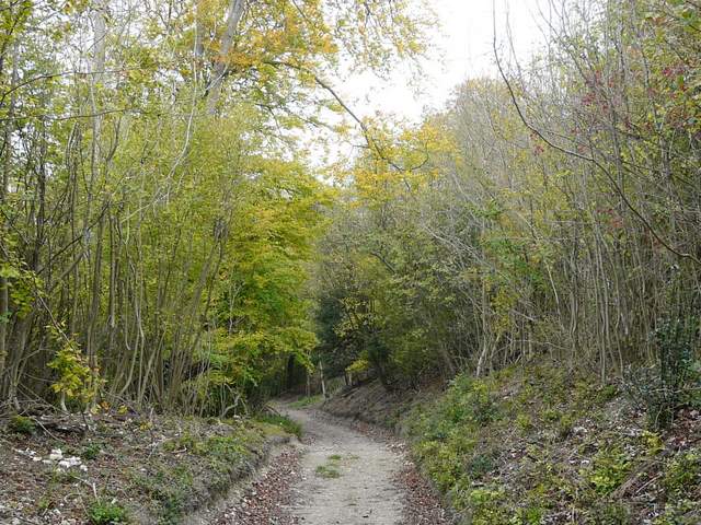
The track continuing west from Wick Farm
The end of the track, approaching the road junction at Hastoe
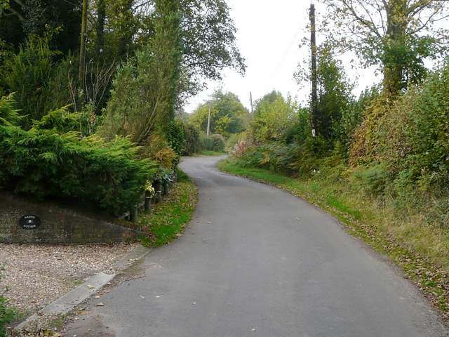
Church Lane, Hastoe
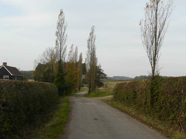
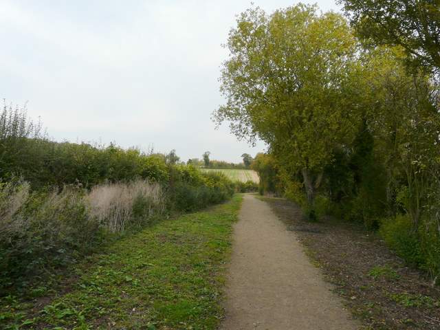
When Church Lane ended at another junction, I went on for a few more yards before turning right on a private drive (shown on the map as a public byway, curiously one of many in this area). It ended after a quarter of a mile, with bridleways forking either side of a large house. I took the left fork, this bridleway soon turning slightly right (northwards), and descending quite steeply through Grove Wood. At the bottom of the slope I turned left onto another public byway, a track between hedgerows, which soon curved left and ended at a junction with another similar byway. Here I turned right, soon reaching a lane near the hamlet of West Leith.
The private drive, Hastoe
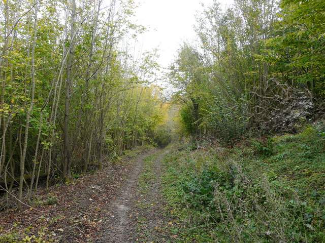
Start of the path downhill from Hastoe, through Grove Wood
The path downhill through Grove Wood
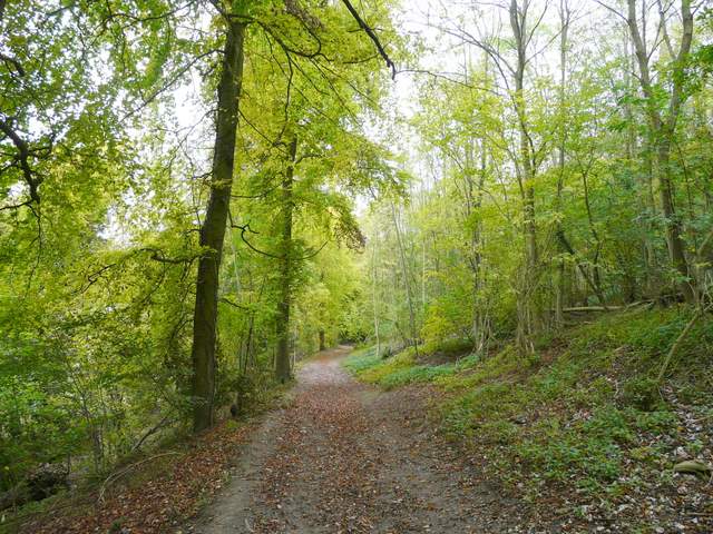
The path downhill through Grove Wood
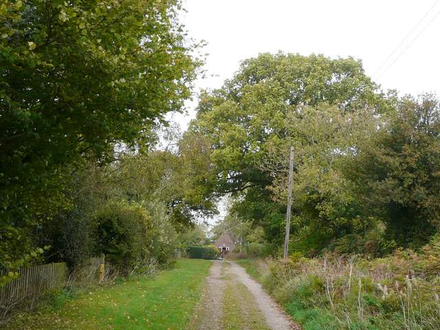
Public byway, near Hastoe
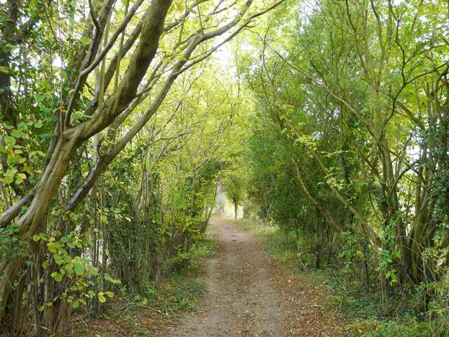
Public byway, near Hastoe
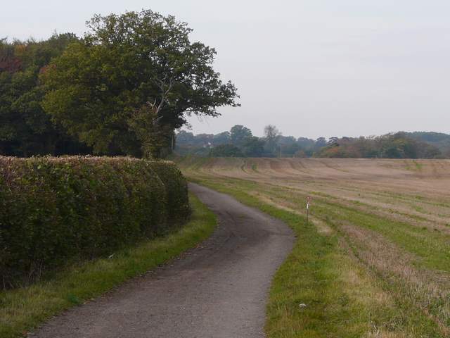
Across the lane, the byway continued northwards - it still ran between hedgerows, and had clearly been resurfaced fairly recently. After about a quarter of a mile I turned left on a footpath running along the right edge of a field of stubble (I spotted some lovely Common Toadflax here). the path continued past a similar field, then ran between fences for a short distance before reaching a lane at the foot of Aston Hill.
Public byway (near West Leith), going north from the lane crossing

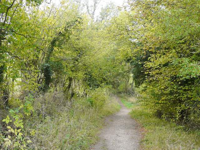
The path going west towards Aston Hill
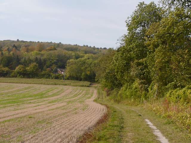
The path going west towards Aston Hill