Pete's Walks - Maidensgrove Common and Henley (page 5 of 5)
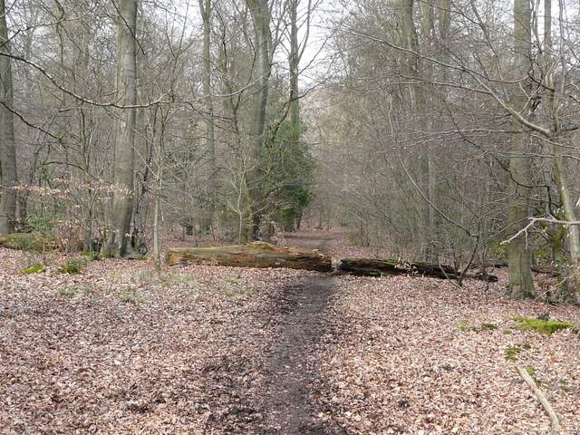
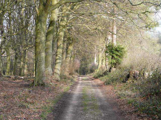
The bridleway continued north-westwards through the wood - I passed a pond on the left at one point, where I remembered that I was once almost run into by a mountain biker. A little further on the bridleway emerged from the woods to run along a track beside the extensive grounds of a large house called Merrimoles. I then turned right to follow the drive towards that house, then when the drive turned right I continued on ahead, northwards, through Highmoor Common Wood. I remembered missing the next turning last time I was here, but this time there was a clear white sign painted on a tree where I needed to go right. This path continued north through Lowercommon Wood, becoming a bridleway after crossing a track, then turning left, right and left again to reach the A4130 about half a mile southeast of Nettlebed.
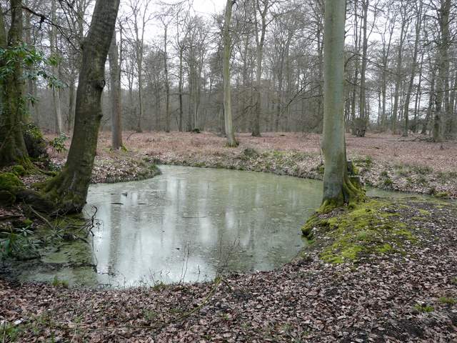
Pond in Holly Grove
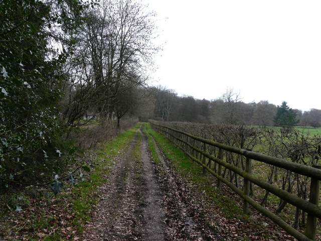
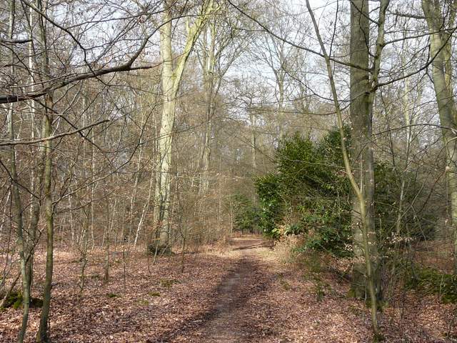
The bridleway continuing just south of Merrimoles
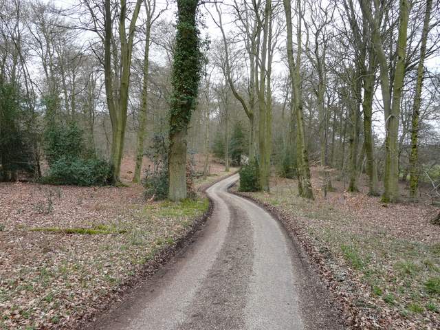
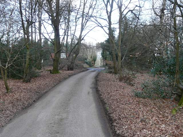
The drive to Merrimoles
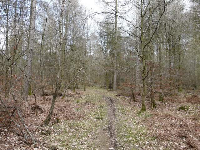
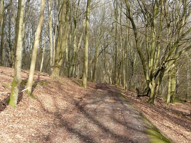
The path continuing north from Merrimoles, in Highmoor Common Wood
The path continuing north from Merrimoles, in Highmoor Common Wood (N.B. a bit of sunshine at last!)
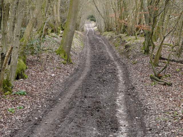
Continuing northwards, through Lowercommon Wood
Across the main road a short lane led into the hamlet of Catslip (yet another intriguing name!), then continuing on for about a quarter of a mile to reach the slightly larger settlement of Crocker End, where I went left at a fork in the lane.
The short lane into Catslip
The lane continuing from Catslip to Crocker End
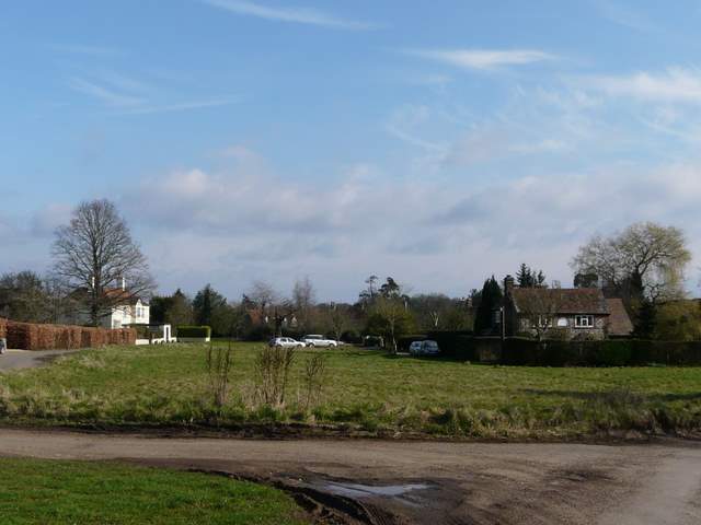
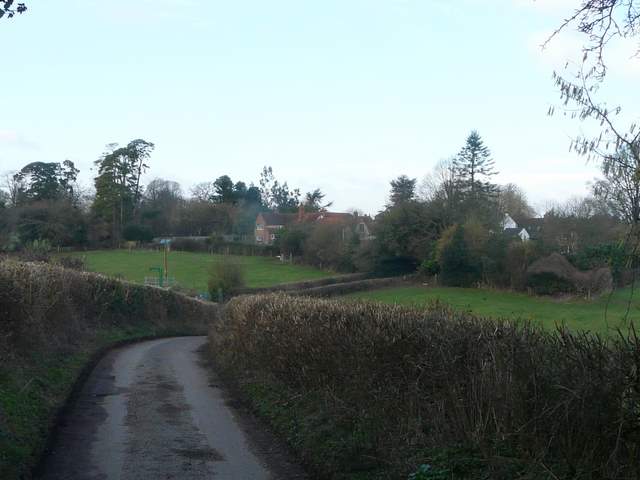
Crocker End
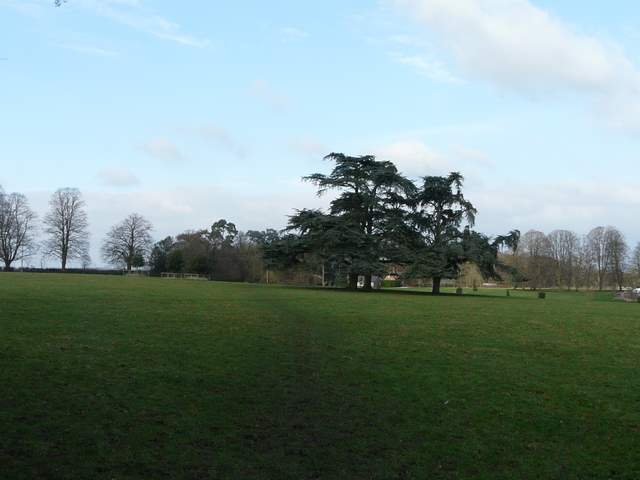
I was briefly on the route of the Southern Extension of the Chiltern Way as I took a footpath starting on the other side of the village green, which continued northwards across a very large pasture (the scattered mature trees here indicating it was the park land around a grand house). I then went a short distance right along a drive, going straight on when it became a track. This led back into yet more woodland, and soon I was in the Warburg nature reserve. The paths here didn't quite seem to match those on the map, but by basically going straight on I managed to find my way through the reserve and then continued along a gently climbing track that took me back to Maidensgrove Common, just 100 yards from my parked car.
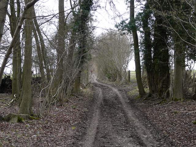
The path going north from Crocker End
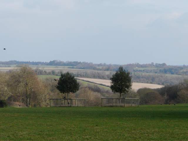
Looking southeast, from just north of Crocker End
The track heading into the Warburg Nature Reserve
Track in the Warburg Nature Reserve
Start of the track from the Warburg Nature Reserve heading uphill to Maidensgrove Common
The track just as it leaves the Nature Reserve
I really enjoyed this walk. I hadn't had high hopes for it, as the route was basically just a cobbling together of paths that I'd not walked before, but the section from Stonor to Henley was very pleasant indeed, with many fine views and the rest of the walk made a nice contrast as it was largely in woodland. It's certainly a route I'd be happy to follow again, and I may well incorporate bits of it in other walks - perhaps a walk from Hambleden to Stonor and then Henley, returning to Hambleden along the Thames Path, for instance.
To see this walk done in the opposite direction on 28/11/11, click here - Maidensgrove Common and Henley.