Pete's Walks - Variation on 'Four Hills Walk' (page 3 of 4)
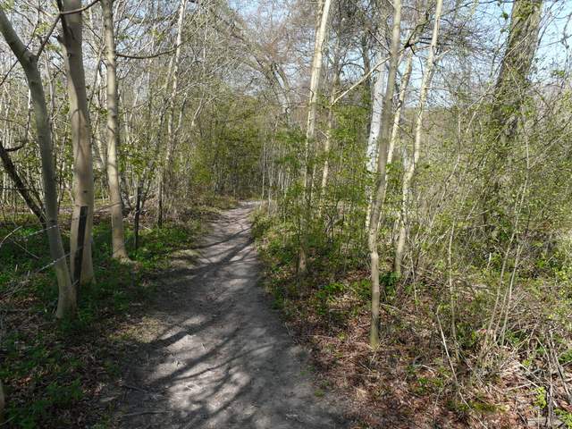
This went on through the trees for about half a mile, finally ending by some cottages in Lilly Bottom. It was then a short lane walk to reach the small village of Parslow's Hillock. From here a nice path ran through more woods along the edge of the Chiltern escarpment, with an occasional view out over the Vale of Aylesbury. After some distance, at the end of the trees on my right, a path went right to reach a road, which I followed left for about a quarter of a mile. A short path then started on the right, initially along the drive of a bungalow before I entered the woods once more. At a path crossroads I turned left on a bridleway between an arable field and part of Sergeant's Wood. The left-right nature of this section continued, as I turned right at a corner of the wood, only to then turn left again and follow the edge of a nice beech wood past the head of a steep wooded valley to reach the Ridgeway national trail, just a hundred yards or so from the top of Whitleaf Hill.
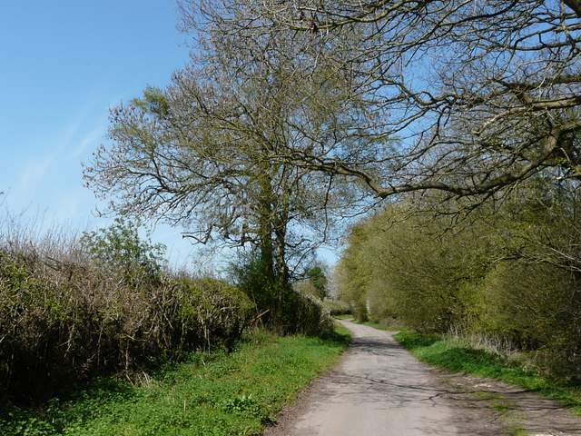
The lane to Parslow's Hillock
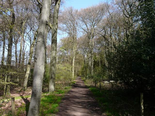
The path from Parslow's Hillock
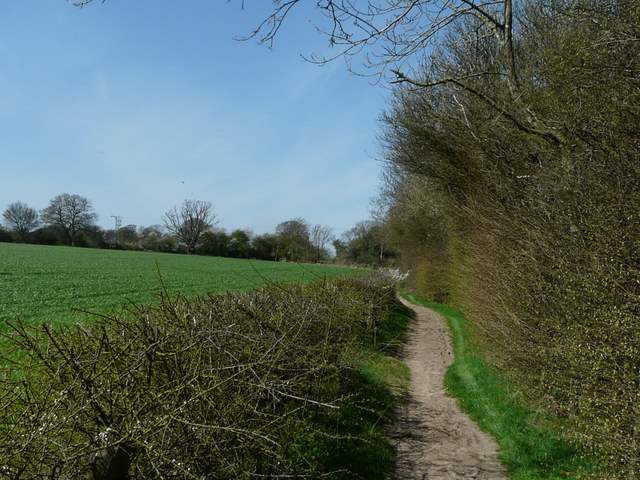
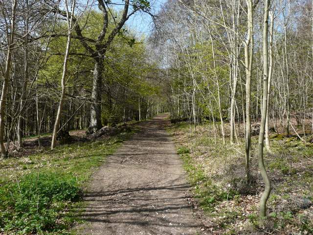
The path beside Sergeant's Wood
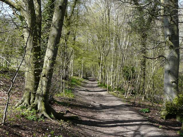
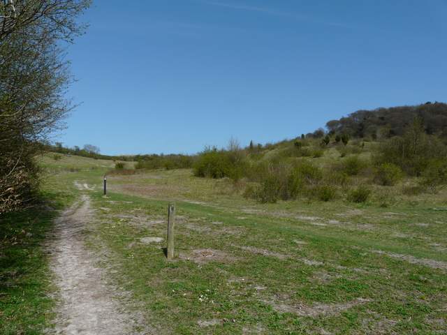
The bridleway to Whiteleaf Hill from Sergeant's Wood
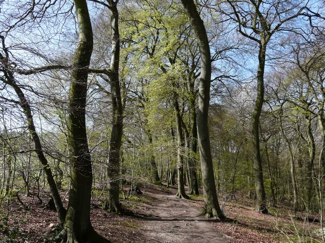
The bridleway to Whiteleaf Hill from Sergeant's Wood
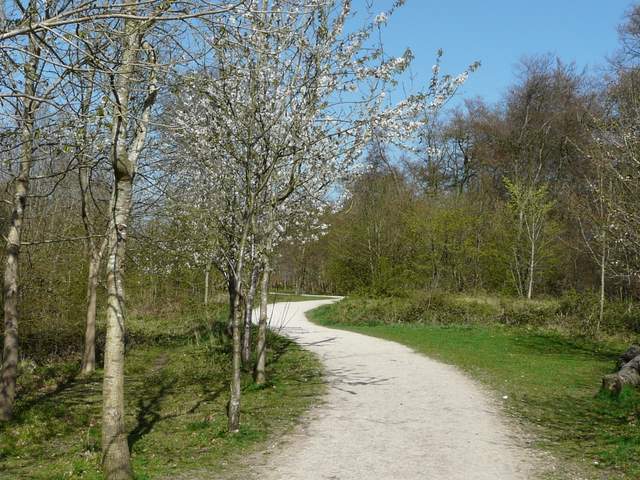
The Ridgeway approaching Whiteleaf Hill
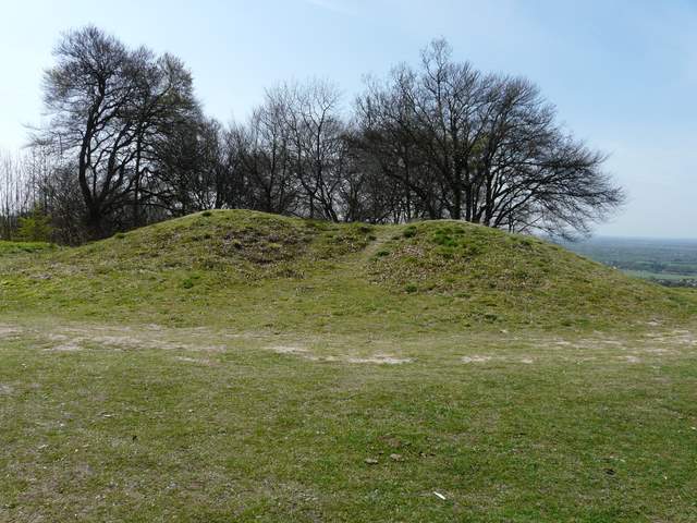
The Neolithic burial mound on Whiteleaf Hill
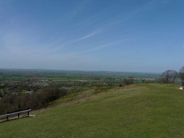
A view from Whiteleaf Hill
Going clockwise, it had taken me just over three hours to reach the first of the four hills that give this walk its name (I called it the 'Four Hills' walk because that's a lot quicker to type than 'Coombe Hill, Beacon Hill, Pulpit Hill and Whiteleaf Hill'!). Anyway I stopped for lunch here on the long wooden seat - I noticed the long line of information boards here (a time line of Whiteleaf Hill's history, which goes back to the Neolithic) had all gone. I hope they are being cleaned or repaired, rather than that they've been stolen. Having eaten my sarnies and enjoyed the extensive views, i continued northwards along the Ridgeway, following it quite steeply down through the woods to reach The Plough at Cadsden.
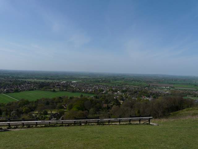
A view from Whiteleaf Hill, looking over Monks Risborough
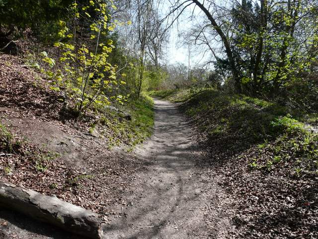
The path down Whiteleaf Hill to Cadsden
Across the road here, a short path led to a nature reserve, where a chalky path led gradually uphill through grass and scrub - there were several Primroses here. I then turned right on a pleasant bridleway that was soon running through trees, again rising gently uphill. When it reached a small car park, I then turned left on a steep path rising up the wooded slope of Pulpit Hill. This went on a bit longer than I remembered, but then I turned left on a broad level path to reach the remains of the hill fort at the summit of Pulpit Hill. The banks and ditch here are largely covered in brambles, and are nowhere near as impressive as Cholesbury Camp.
The nature reserve at the foot of Pulpit Hill
The bridleway along the south of Pulpit Hill
The path to the hill fort on Pulpit Hill
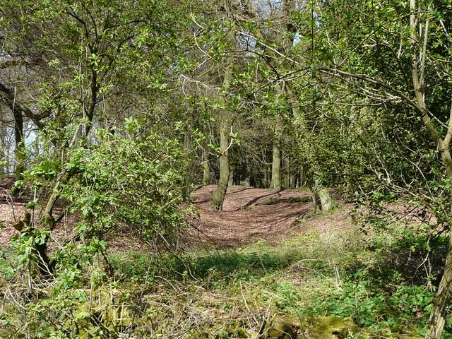
Not very clear, but this shows part of the bank and ditch around the hill fort