Pete's Walks - Variation on 'Four Hills Walk' (page 4 of 4)
I continued on the path from the hill fort, going straight on where a bridleway crossed to enter a large pasture dotted with bushes. I crossed the Cradle Footpath that heads towards Chequers (I've still no idea why it's called the Cradle Footpath on the OS map), and followed a fence through an area of scrub, sloping steeply down on my left, then turned right close to the edge of another pasture. Across a private drive, the path continued through a small area of tree to emerge into a wide meadow, with Beacon Hill directly ahead and a view left towards the Vale of Aylesbury.
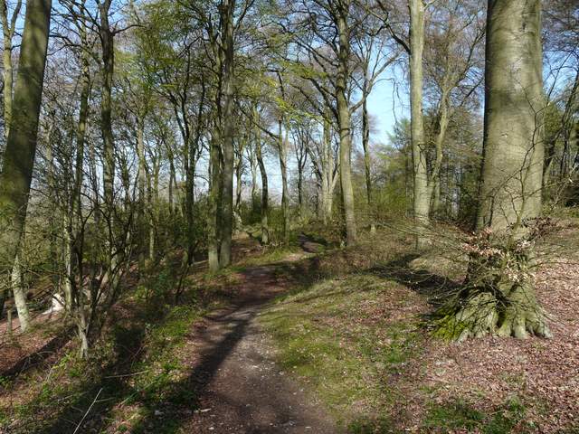
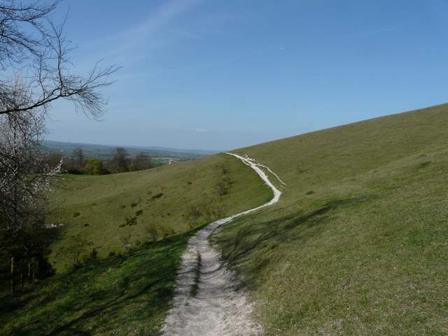
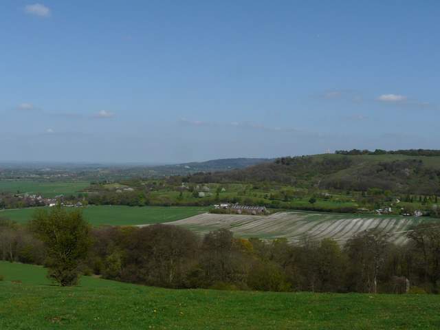
The path on Pulpit Hill
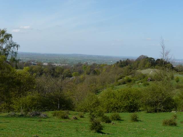
Looking out to the Vale of Aylesbury, from near the 'Cradle Footpath'
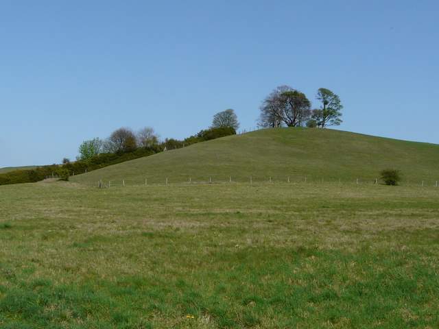
Beacon Hill
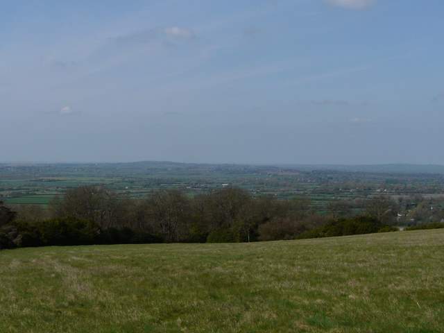
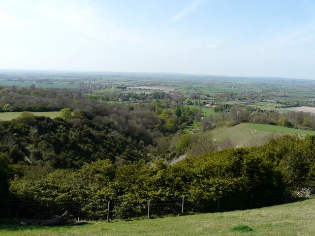
The Vale of Aylesbury, from the same spot
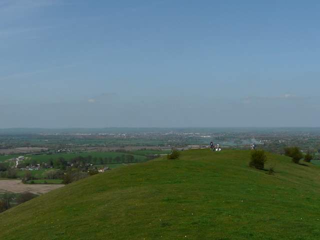
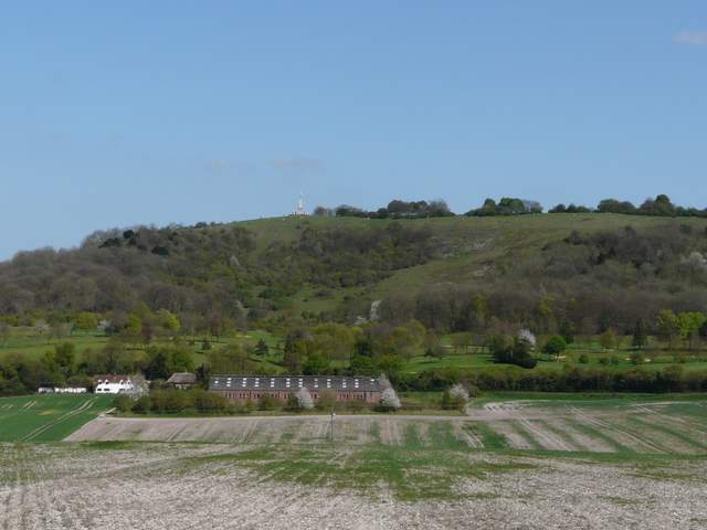
The footpath crossed the meadow, then descended steps in a steep area of thick scrub. It continued as a chalky line contouring the western flank of Beacon Hill. When I drew roughly level with the northern end of the hill, a faint track led steeply uphill to the top. This was quite hard going, but didn't go no for too long. When I puffed my way to the top, there were about a dozen people sat around admiring the views. I turned right, and walked along the top of the hill towards a small clump of trees - this was as far as I could go, as the rest of the hill is within the grounds of the Chequers estate. Another path led back round the western side of the hill to meet the steep path I'd just climbed, then I dropped back down and continued on the footpath.
The footpath round the side of Beacon Hill
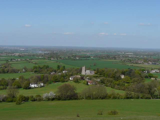
Ellesborough and the Vale of Aylesbury from Beacon Hill
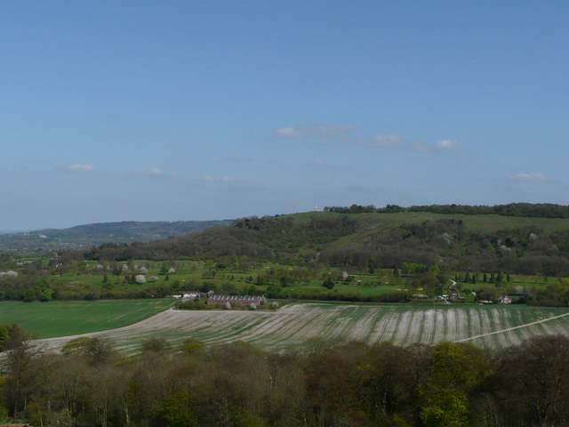
Coombe Hill (with Wendover Woods beyond) from Beacon Hill
Looking north along the top of Beacon Hill towards the Vale of Aylesbury
Another view towards Coombe Hill
Ellesborough Warren from Beacon Hill
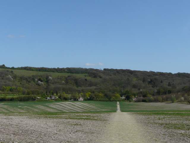
The footpath continued along the western side of the hill, then dropping to a hedgeline and crossing a large meadow to reach Ellesborough, almost opposite its prominent church. I went a few yards right along the road, then right again along a hedge-lined track. A footpath then went half-left, soon crossing a very large arable field diagonally (this was the 'striped' field I could see from the monument on Coombe Hill at the start of the walk). I met two or three families or small groups of walkers coming the other way - I'm not sure that I've ever seen so many people walking in the Chilterns as I did today. On the far side of the field I turned right along a road for a few yards, before taking a path on the right. the walk had a real sting in its tail, as I now had to make my way up a path going straight up the side of Coombe Hill, possibly the steepest path I know in the Chilterns (well, I think the path from Turville to Cobstone Mill is steeper, but this is a longer ascent). I had to stop to get my breath back at one point. The path levelled out eventually and led straight back to the Coombe Hill car park.
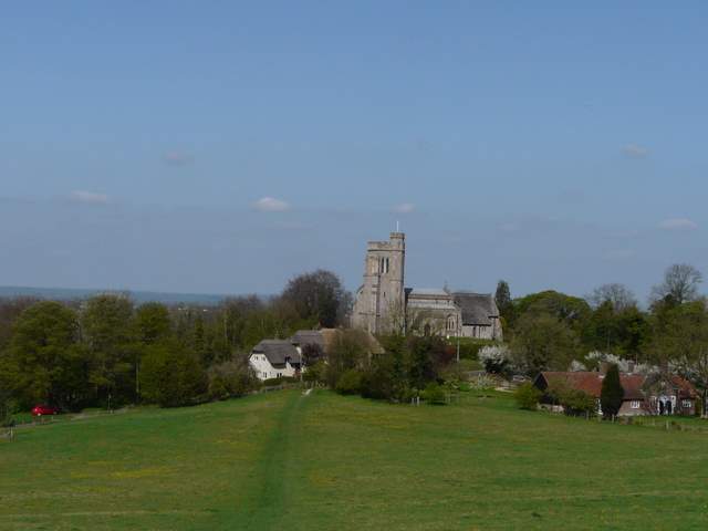
Approaching Ellesborough
The path from Ellesborough to Coombe Hill
Coombe Hill, from the path from Ellesborough
This was another very good walk, on a brilliant day for walking (which probably explains the surprising number of other walkers about). It was nice to try out a new path to Dunsmore, there was lots of good woodland walking mixed with sections of field paths, some attractive hamlets and villages, lots of ups and downs and great views from three of the four hills (Pulpit Hill being the exception, as its top is in woodland). I think I'd prefer to do the route the other way round though (anti-clockwise), so as to get the steep climbs done early in the walk and to avoid having the very steep climb up Coombe Hill right at the end.