Pete's Walks - Caddington 'figure-of-eight' walk (page 1 of 3)
If you are considering walking this route yourself, please see my disclaimer. You may also like to see these notes about the maps and GPX files.
I did this walk of about 11.8 miles on Easter Monday, 25th April, 2011. Click here to see a rough map of the walk (but only if you have already read my disclaimer and notes regarding maps). It was a repeat of a local walk I've done a few times now - I don't really like driving any distance on a Bank Holiday, so another local walk suited my purposes. To see a slightly more detailed description of this route, see here.
I parked in a road opposite the village church, and started walking at about 10am. It was another day of brilliant blue skies, but there was a strong breeze that kept the temperature down unless I was in a sheltered spot. After walking southwest from the church for about 200 yards, I took a field-side path going northwest. After a few twists and turns over a couple of miles or so, this would eventually lead me to the drive to Zouches Farm, from where a short path led to a gap in a hedge from where I accessed the southern end of Blows Downs.
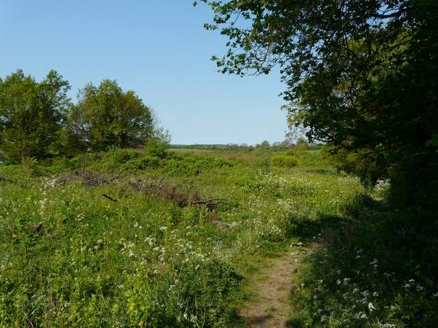
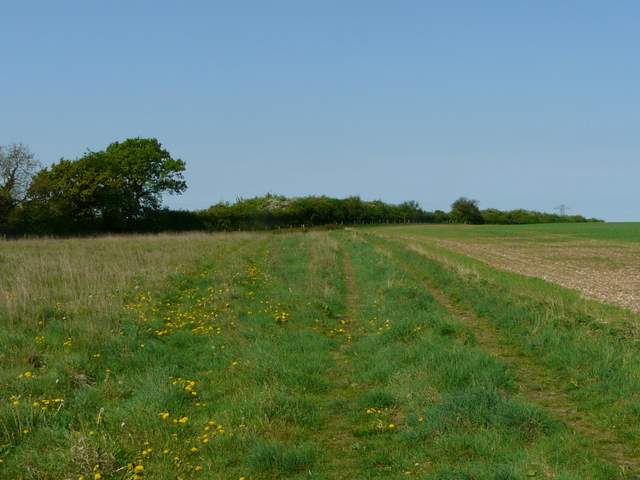
The start of the path from Caddington to Blows Downs
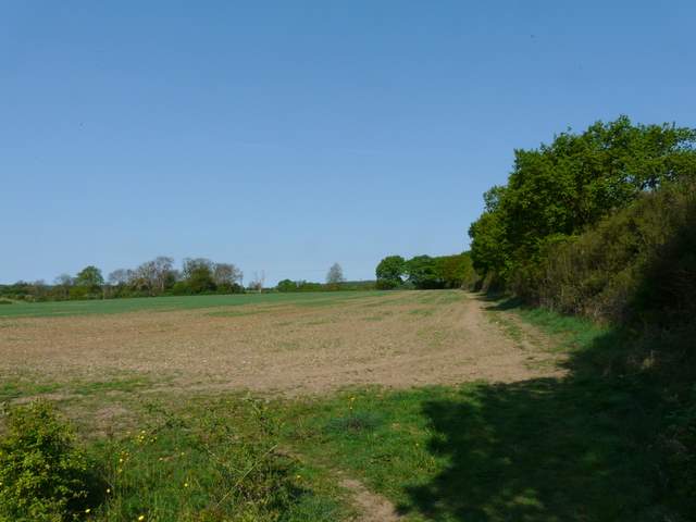
The path from Caddington to Blows Downs
The path from Caddington to Blows Downs
The path from Caddington to Blows Downs
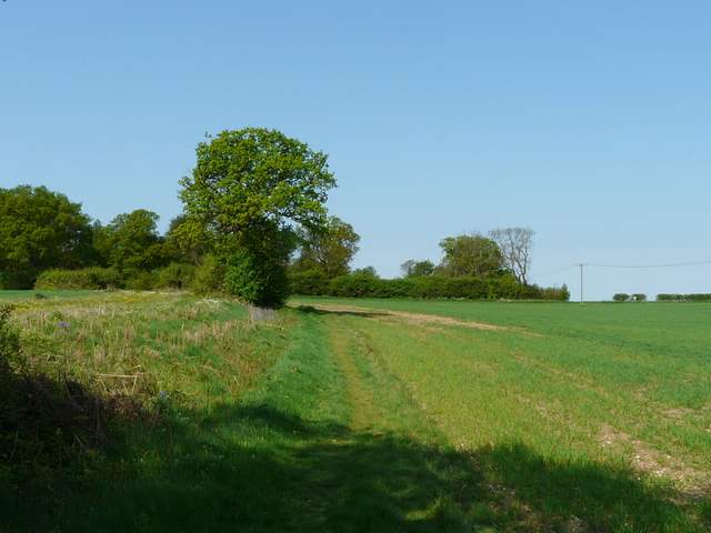
The path from Caddington to Blows Downs
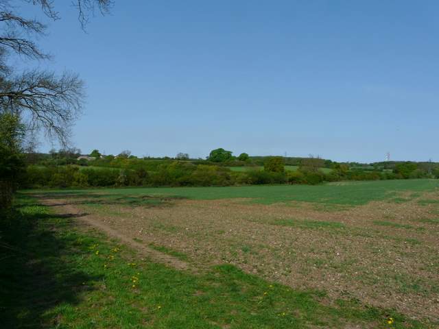
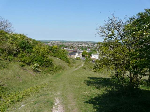
The path from the Zouches Farm drive, approaching Blows Downs
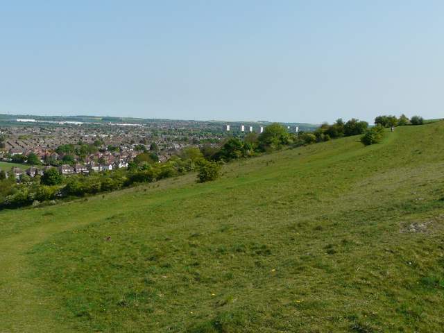
As I followed the path northwards along Blows Downs, with the southern part of Dunstable down to my left, I spotted a couple of Holly Blue butterflies squabbling over a Holly bush. further on I noticed that an area of scrub had been cleared since I was last here, similar to something I'd noticed on Dunstable Downs on Friday - if animals aren't grazed on these chalk downlands, they do tend to revert to scrub, which is less beneficial to the plants and invertebrates that are only found on these chalk downlands. I stayed on the same path as it followed the line of Blows Downs as they turned eastwards, with more of Dunstable still downhill on my left. Further ahead I could see all the way over Luton to Warden Hill and Galley Hill.
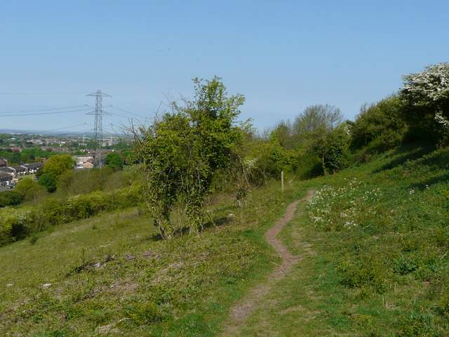
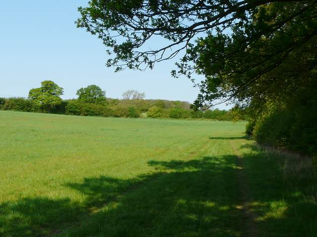
The path heading north along the top of Blows Downs
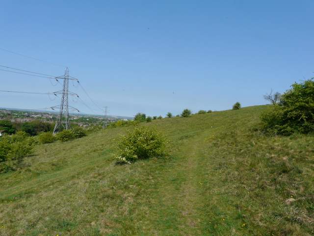
The path heading north along the top of Blows Downs
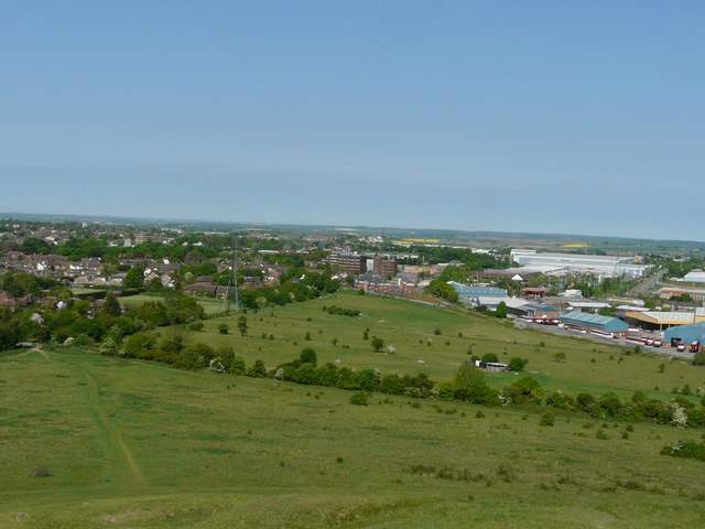
Looking north over part of Dunstable, from the corner where Blows Downs turns eastwards
The path heading east along the top of Blows Downs
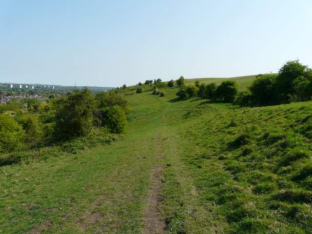
The path heading east along the top of Blows Downs
The path heading east along the top of Blows Downs
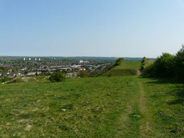
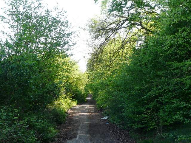
Eventually I took a path going downhill (headed roughly in the direction of the big Tesco near the Luton-Dunstable boundary). At the bottom of the slope I had to cross the busy Luton-Dunstable Relief road, and continued down Skimpot Lane. Beyond the entrance to a mobile home park the lane was no longer maintained and was gradually reverting to nature. I then entered what is usually a quite pleasant overgrown meadow, but currently it has been despoiled by some sort of development.
The path that descends Blows Downs
The remains of Skimpot Lane
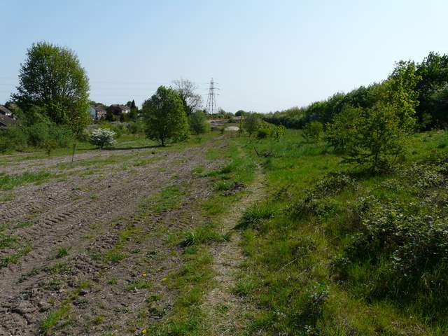
I don't know what they are doing in this old meadow, but it's not pretty