Pete's Walks - Stockgrove, The Brickhills, Woburn Sands (page 3 of 3)
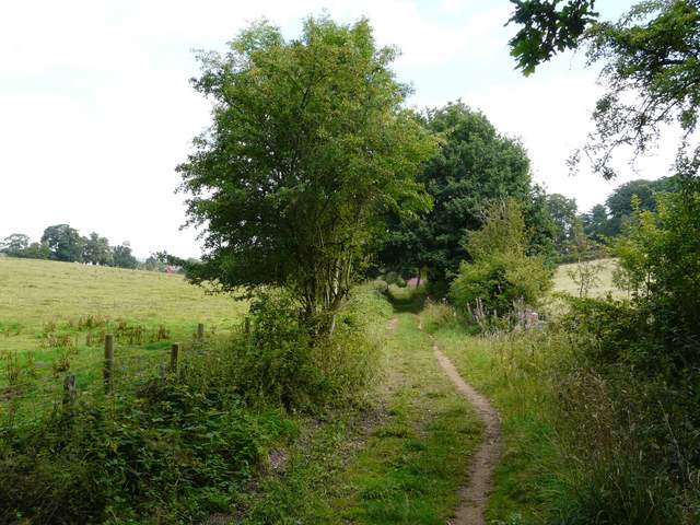
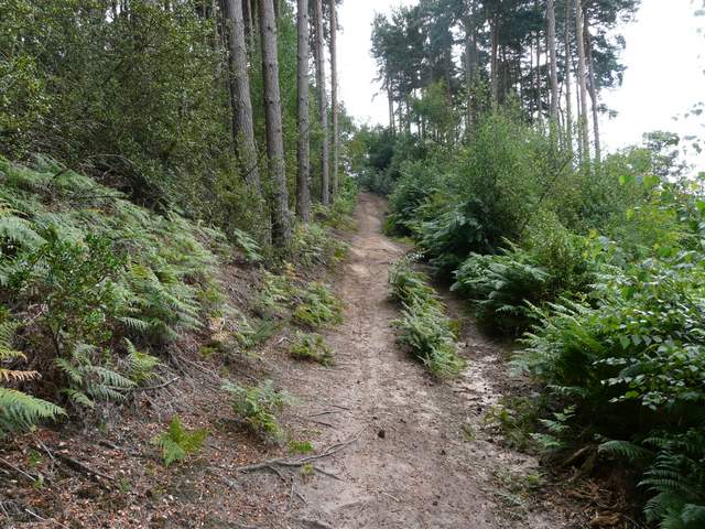
In Wavendon Wood I turned right, on a short descending path, then turned left on a path leading through part of Aspley Heath to Woburn Sands. On reaching a road I turned right to reach the roundabouts in the centre of Woburn Sands. I turned right and immediately right again, before forking left into Sandy Lane. I was now on the edge of the village of Aspley Heath. After about half a mile, I went through a gate on my left - here I took the right-most of two paths (this is Alternative 1 on my map), going steadily up a sandy hill into Old Wavendon Heath. As the path levelled out, I noticed some heather to my right, something I rarely come across on my walks here in the northern Home Counties.
Approaching Woburn Sands
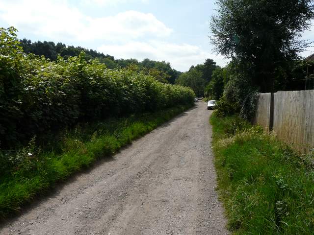
Near the start of Sandy Lane
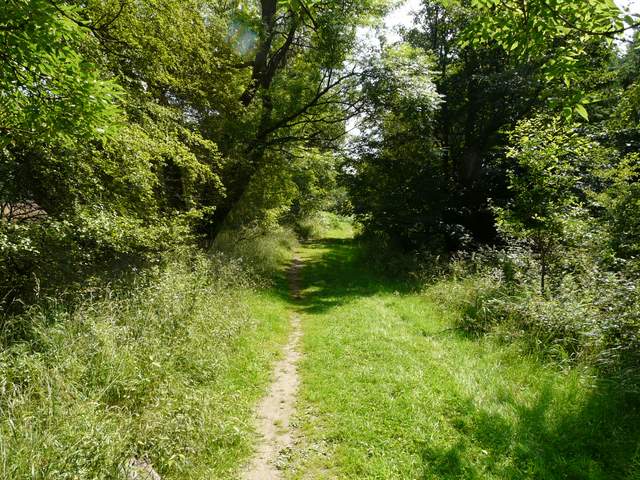
Sandy Lane
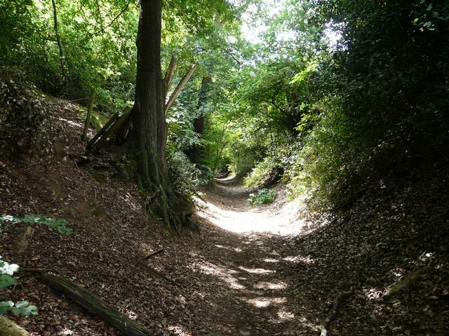
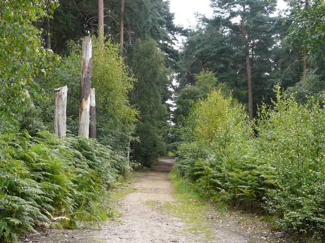
The shortcut just after Sandy Lane (shown as Alternative 1 on the map)
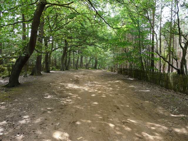
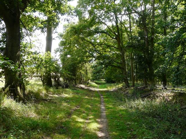
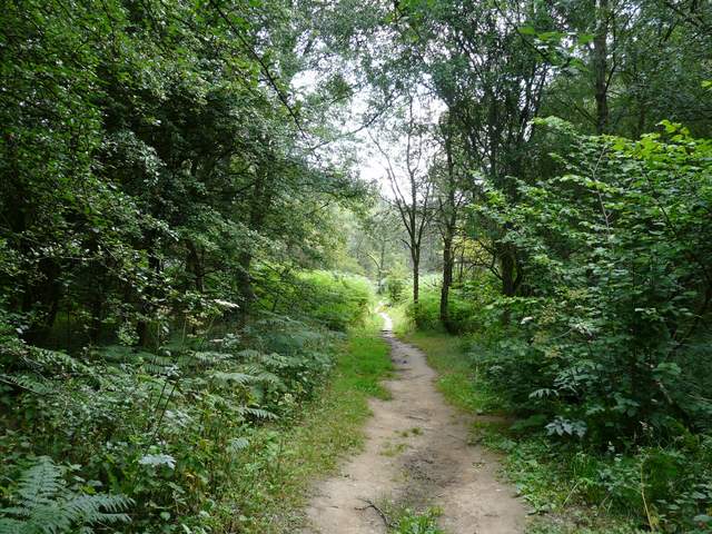
Path on Old Wavendon Heath
I turned right, left and right again to return to Sandy Lane (by a school, according to the map), which I then followed southwest for over half a mile. On reaching a minor road, I went left for a couple of hundred yards, then turned right onto a rising path beside a wood. To my left was a large open field - a sign warned that it was used for training Police Dogs! At the top of the slope I turned left onto a track through part of one of the three courses of the Woburn Golf Club. After a bout a third of a mile it turned left, but the right of way bore right, passing through a section of the golf course and then entering a wood (Little Brickhill Copse).
Sandy Lane
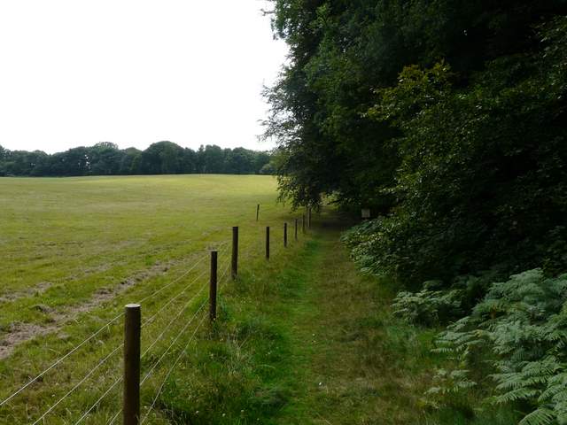
Path beside the Police dog training field
Track on Woburn Golf Course
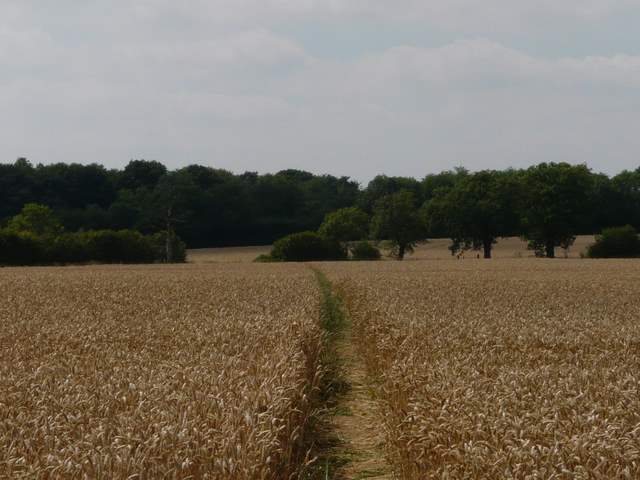
Across a B-road I continued through more woodland (another part of Buttermilk Wood, I think). This pleasant broad track at some point becomes Nun Lane, and further on I had Nun Wood to my right with corn field to my left (here I was on the routes of both the Milton Keynes Boundary Trail and the Greensand Ridge Walk). After almost a mile and a half I reached a minor road, where I went a short distance right before taking a path on the right. This led across two large cornfields to take me back to the A5.
Nun Lane
Nun Lane
Approaching the A5 again
Across the A5, the path followed the edge of two meadows, then turned right, following a long hedgerow through a huge pasture or meadow (actually I think there were a few horses in it). I then went diagonally (half-left) across a small field beside Rammamere Farm, a good track then continuing on through Rammamere Heath. At a junction or fork after about a third of a mile, I went a few yards right then turned left to carry on in the same southerly direction as before, this path soon emerging from the woods and running through a long narrow meadow in a small valley to reach a road opposite the Stockgrove Country Park car park.
Path to Rammamere Farm
Rammamere Heath
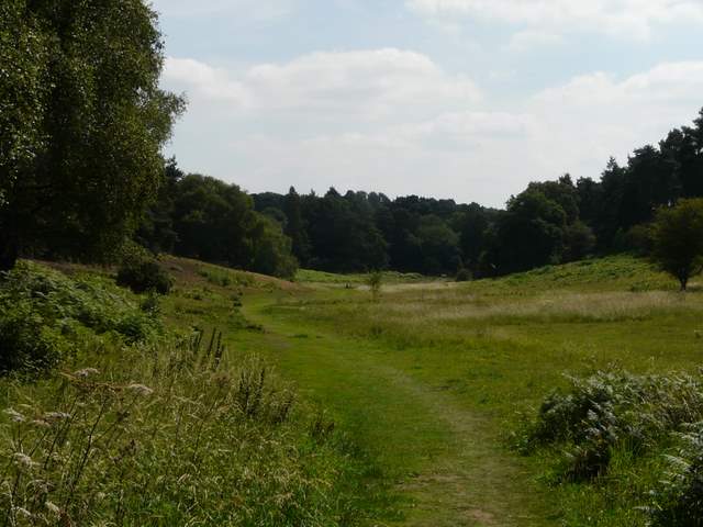
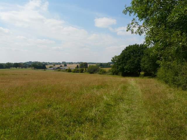
The meadow opposite the Stockgrove Country Park car park
As usual this was a very pleasant route, and it made a change for me to be walking on the sandy paths of the Green Sandstone Ridge rather than the chalky Chiltern Hills.