Pete's Walks - Cholesbury and Whelpley Hill (page 1 of 5)
If you are considering walking this route yourself, please see my disclaimer. You may also like to see these notes about the maps and GPX files.
Google map of the walkDownload GPX file of the walk
I did this walk of about 14 miles on Saturday, 27th August, 2011. This was the nearest I've come to doing a completely new route in the Chilterns for some time. Much of this walk was on paths I'd not walked before, some was on paths I'd only walked once in the opposite direction, and about a third was on paths I'd walked once in both directions about five years ago.
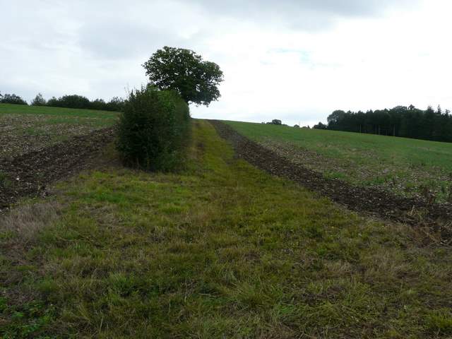
I parked by the cricket ground in Cholesbury (Grid Reference SP 933071), and started walking about 9.35am. The skies were pretty grey and it was fairly cool - annoyingly, the forecast on Ceefax this morning was for showers, whereas last night the BBC's weather web site had said today would be dry with sunny intervals (I should have known better, after all it was a Bank Holiday Weekend!). I went a little way east along the road, towards Hawridge (I could see the windmill on my right), then turned left across Cholesbury Common (almost opposite a road junction), the path dropping downhill to meet another footpath running along the bottom of a small valley. I turned right, following the path along the bottom of the common - the map shows that it was following part of the Herts/Bucks border, Hertfordshire being to my left.
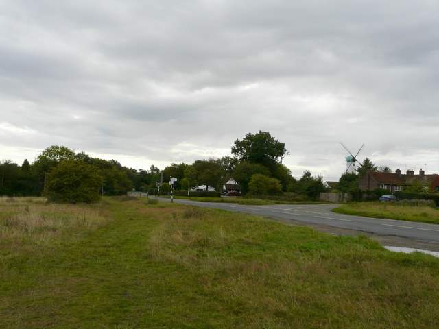
Cholesbury Common, approaching Hawridge (I turned left by the road junction)
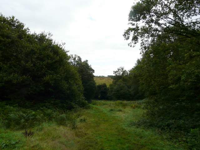
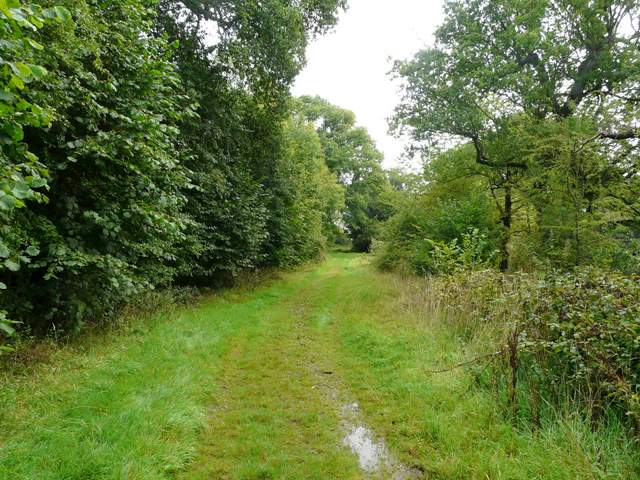
Cholesbury Common, the path down to the valley bottom
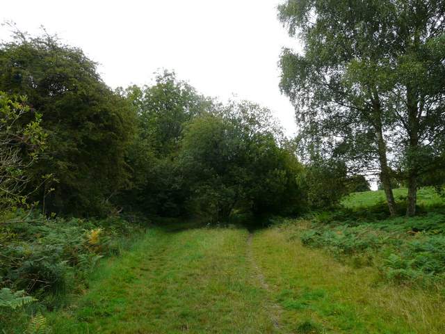
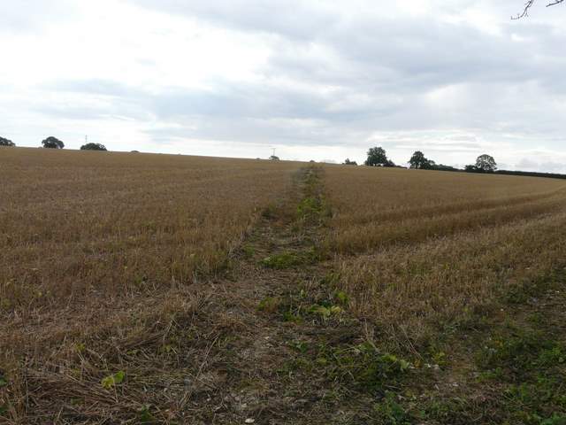
The path along the valley bottom (along the Herts/Bucks county boundary)
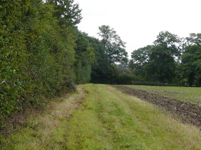
I'd walked this path once before (near the start of the Buckland Common, Chesham, The Lee walk I did in February), but when I reached a lane I turned left and entered new territory. Across the lane at a bend, a footpath followed a hedge-line uphill beside a plantation of Christmas trees, continuing my generally eastward direction. At the top of the slope the path turned slightly right as it crossed a very large field of stubble. On the far side of this field I followed the hedgerow left a little way, then turned right beside another hedgerow to reach a lane at Heath End.
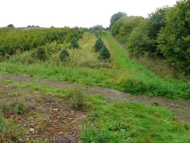
The path up from across the lane
The path continuing at the top of the hill across a field of stubble
The path continuing, southeast of Heath End Farm
Across the lane, a footpath continued through a small meadow next to a garden on the right (a couple of dark brown Labradors barked at me from behind the fence, but soon quietened down). The path went over a stile in a corner and ran between hedges briefly, before going half-left across a pasture (with just a couple of cows and their calves, lying down over to my left). Across another stile, the path turned left alongside a hedge, dropping downhill to meet a minor road in a valley bottom. I turned right, and as I passed a junction I joined the route of a walk I did in October last year (Buckland Common and Ashley Green), though I was now walking it in the opposite direction.
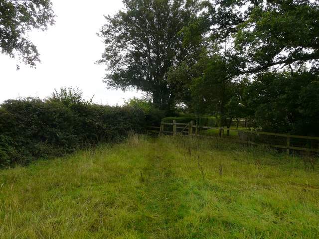
Path near Heath End
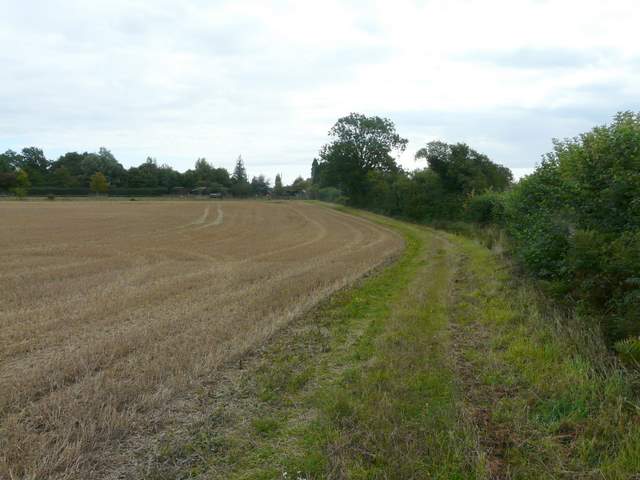
The path from Heath End, going down to the minor road (again the county boundary) - the route continues along the far side of the distant hedgerow
I turned left onto a path going uphill beside hedge on my right, and at the top of the hill crossed a drive. I had to don my red waterproof jacket at this point, as there was quite a heavy shower. The path then continued through the parkland around a large house called Rossway (over to my left). I then reached the ruins of Marlin Chapel, thought to date back to the mid-thirteenth century.
The path from the minor road, towards Rossway
The path from the minor road, towards Rossway
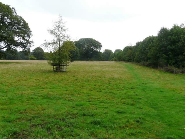
The parkland in front of Rossway
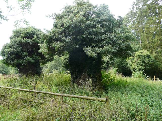
The ruins of Marlin chapel
I now joined a bridleway, continuing past the southern end of a wood called Cock Grove and then continuing along a tall hedgerow between large fields that were now stubble. The bridleway soon switched to the right of the hedge, before later returning to the other side. Ahead of me I could see across the A41 dual carriageway to the southern outskirts of Berkhamsted, including what I took to be a rather impressive water tower. After about half a mile, the bridleway turned right along a concrete farm track, running parallel to the A41 dual carriageway which was just beyond the hedge on my left.
The bridleway on the edge of Cock Grove
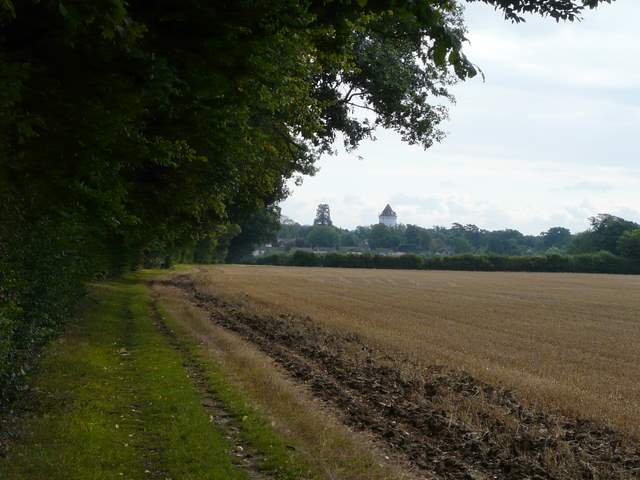
The bridleway continuing towards the A41, Berkhamsted in the distance
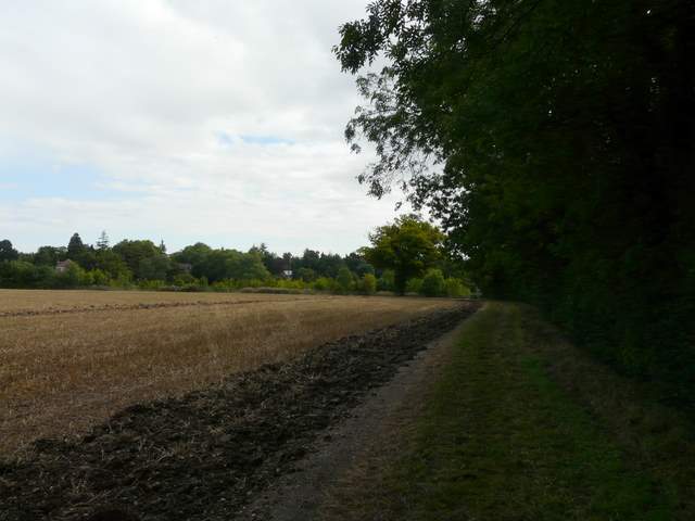
The bridleway continuing towards the A41
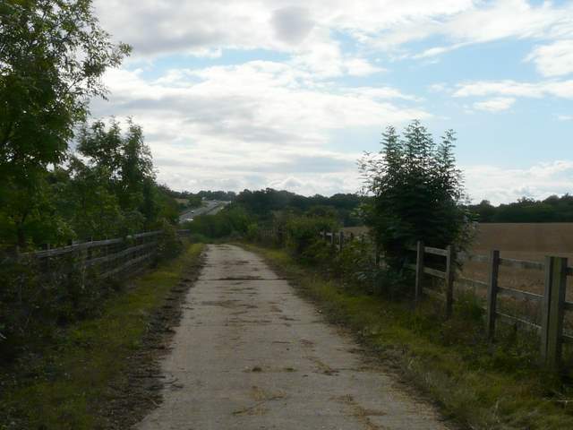
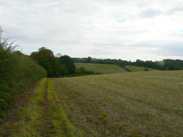
The farm track beside the A41 dual carriageway