Pete's Walks - Christmas Common, Turville, Cadmore End (page 1 of 5)
If you are considering walking this route yourself, please see my disclaimer. You may also like to see these notes about the maps and GPX files.
I did this circular walk of about 14 miles on Saturday, 15th October, 2011. This was basically a repeat of a walk I did a couple of times last year (see this 'Watlington Hill, Turville and Cadmore End' walk), except that I started in Christmas Common and so cut out the quarter mile road walk from/to Watlington Hill at the start and end of the walk. I followed 'Alternative 1' on the map, which I think is an improvement to the route, and I did the walk anti-clockwise, which is definitely the tougher way to do it as it involves some steep bits of uphill, especially the two hills between Turville and Cadmore End.
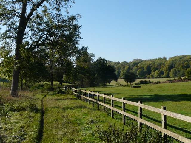
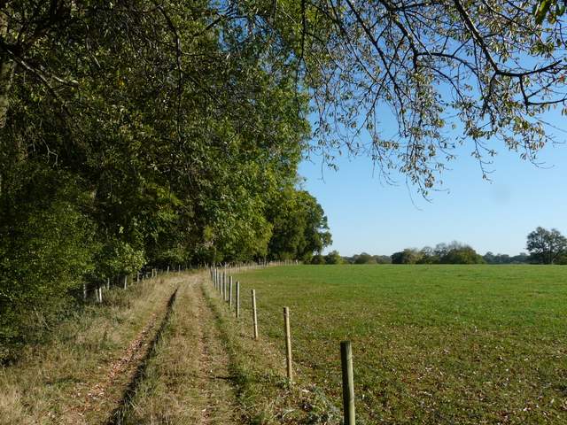
It was about 10am as I started walking. I followed the road south through Christmas Common, then shortly after passing the pub I took a footpath on the left (next to the former church). This led through part of Queen Wood to emerge by some houses on Hollandridge Lane. Here I went a short-distance right before taking a bridleway on the left. This dropped downhill through the trees of Prior Grove, turning right at the bottom of the slope and then continuing along the valley bottom through Fire Wood for about two miles.
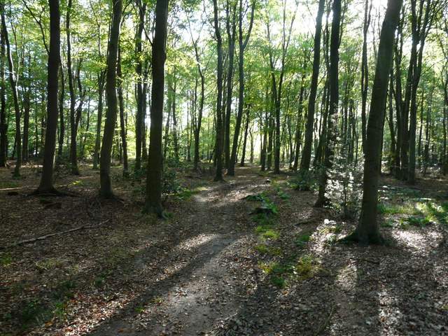
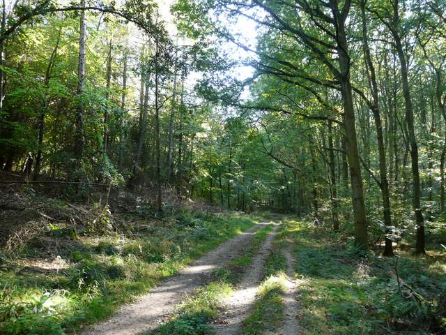
Path through Queen Wood, Christmas Common
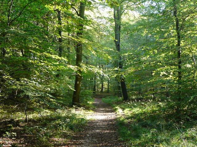
Near the start of the bridleway, in Prior's Grove
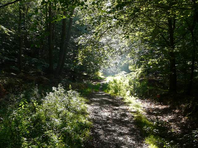
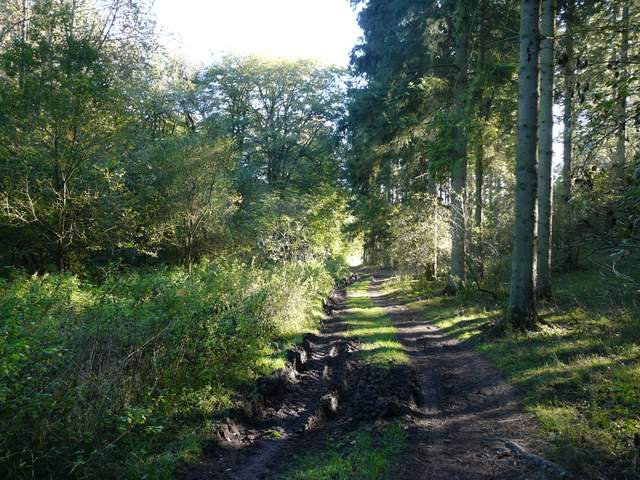
The bridleway in Fire Wood
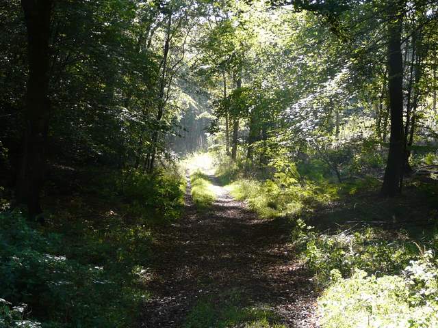
The bridleway in Fire Wood
The bridleway in Fire Wood
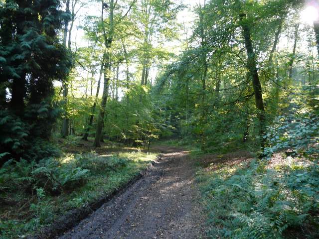
The bridleway in Fire Wood
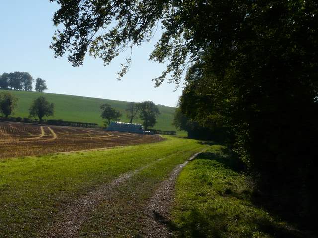
The bridleway in Fire Wood, getting close to Turville Park Farm
Eventually the bridleway emerged from the wood, and curved right to pass Turville Park Farm. The bridleway continued past the farm, still following the valley bottom, now alongside a hedgeline separating fields sloping up either side of the valley. After a while the bridleway switched from the right to the left of the hedgerow, and shortly after I turned left onto a crossing footpath..
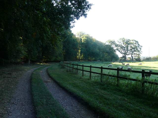
Approaching Turville Park Farm
The bridleway just past Turville Park Parm
The bridleway shortly before I left it (to go left, up to the the trees on the skyline, left)
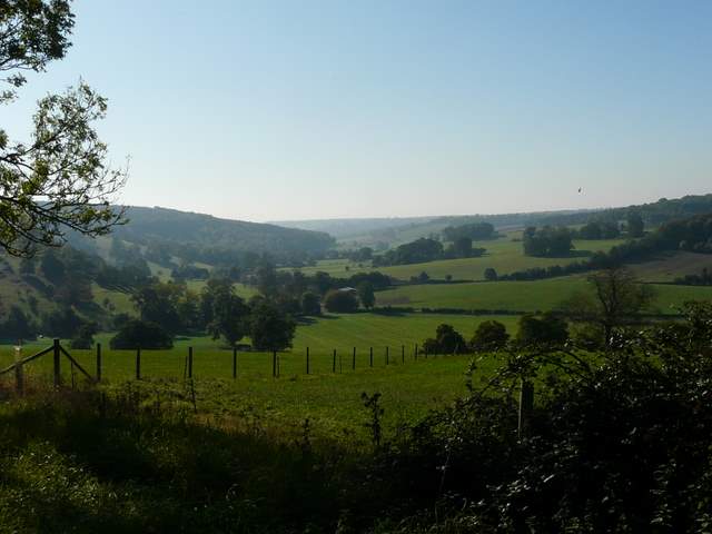
Looking back (from near the skyline trees in the previous photo) in the direction of Turville Park Farm
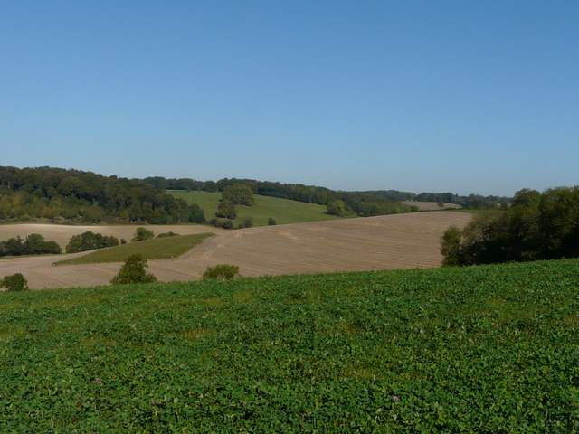
Looking towards Stonor
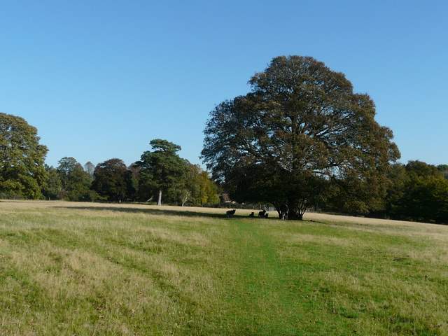
The footpath now continued as a farm track between a hedge and a fence, initially still going uphill but at a much easier gradient now. After some distance I went through a gate on the right and crossed part of a large pasture (there were some mature trees scattered about, this was obviously park land around Turville Park, somewhere off to my left). I then continued through a field with some Jacob's Sheep and a pony, then passed a house and followed its drive to a road junction in Turville Heath.
The path continuing towards Turville Heath
Approaching Turville Heath
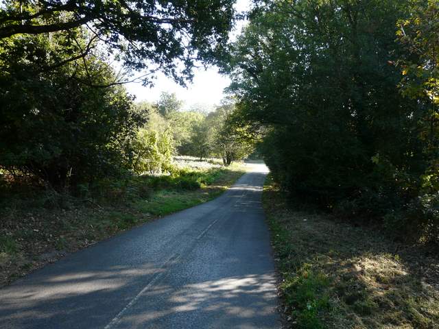
Lane in Turville Heath