Pete's Walks - Christmas Common, Turville, Cadmore End (page 3 of 5)
It was then a very steep climb from Turville up Turville Hill to Cobstone Mill, one of the steepest hills I know in the Chilterns. At the top, as I passed through a gate to the minor road between Ibstone and Fingest, an American lady with her family there said 'You obviously got here the hard way!', referring I think to the sweat that was now dripping off me! Across the road a broken stile led to a footpath descending through the wood on the other side of the hill.
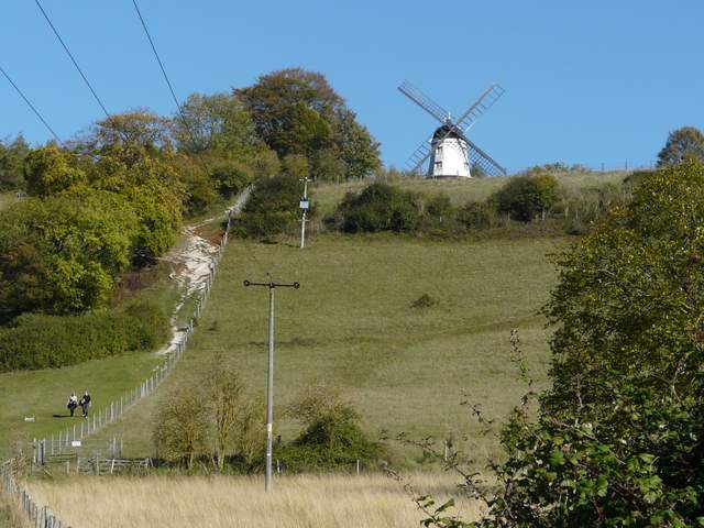
The path to Cobstone Mill from Turville
Looking back over Turville, from close to Cobstone Mill
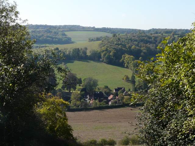
From the same spot, looking along the valley to Churchfield and Idlecombe Woods
The start of the path down from Cobstone Mill
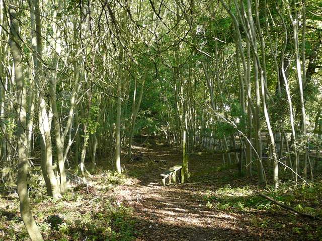
The path down from Cobstone Mill. I must be getting old, I always used to make a point of going over redundant stiles like this one, but nowadays I don't want to put the extra stress on my dodgy knees.
In the valley bottom I turned right along a lane, heading towards Fingest, but after a hundred yards or so I took a path on my left. This followed a fence on my right through a huge sheep pasture, heading uphill towards Hanger Wood. The gradient got steeper as I drew near the wood, but it was never as steep as the climb to Cobstone Mill. The path continued further uphill through the wood, before gradually levelling out as it became more like a track. Where this turned left, a path went straight on, soon crossing the track and reaching a path T-junction. These two hills in quick succession make this bit of the walk unusually challenging for the Chilterns, so I think this route is probably best in the opposite direction.
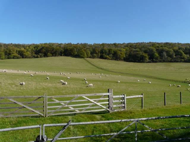
From the lane to Fingest, looking ahead to the path up to Hanger Wood
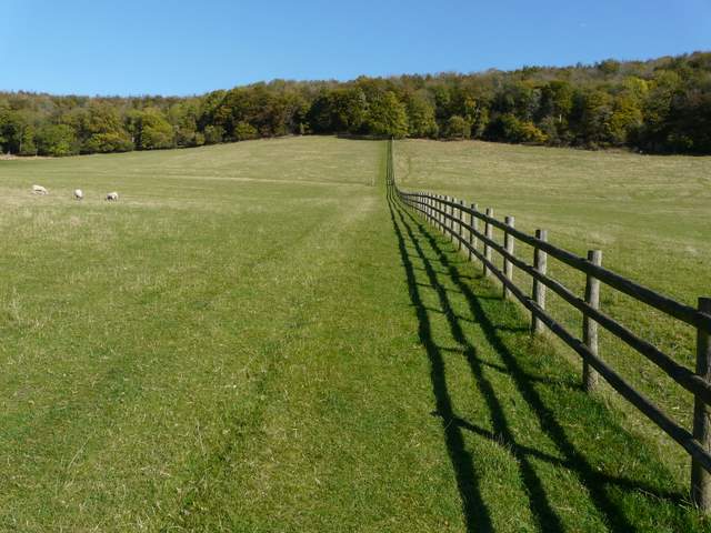
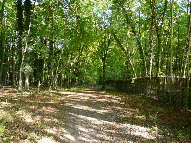
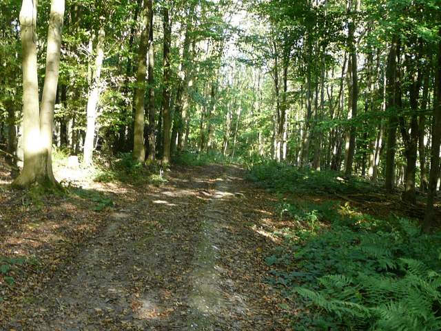
The path to Hanger Wood
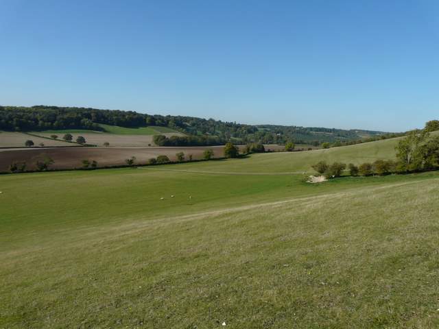
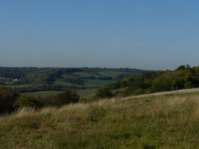
Looking northwest from the edge of Hanger Wood, towards Twigside Bottom (which I'd cross again later)
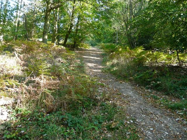
The path continuing uphill in Hanger Wood
I turned left and followed another path through the wood, eventually merging with a bridleway on the edge of the wood. A track between hedges and fences then led on to the village of Cadmore End. I passed the church and stopped for lunch on a bench on a piece of green opposite the primary school.
The path through Hanger Wood, heading north towards Cadmore End
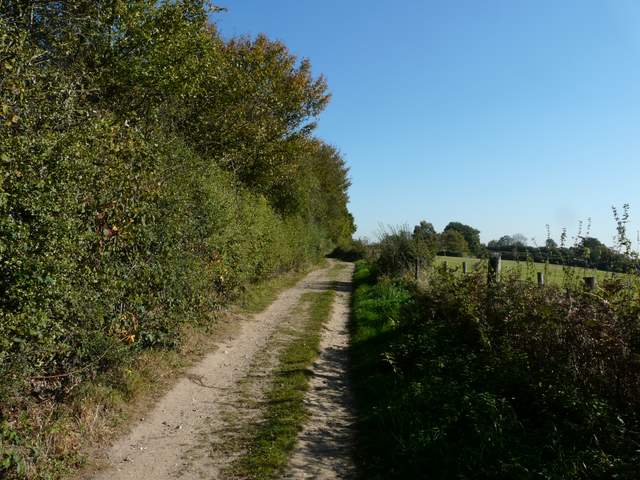
The track into Cadmore End
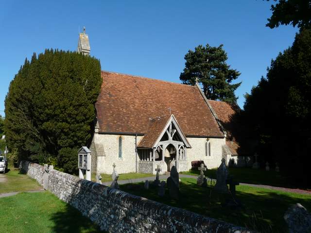
Cadmore End Church
Lunch over, I crossed the road and took a path just to the right of the school car park, which soon led under the M40 motorway. After a couple of hundred yards or so a path forked left, running through a wooded area and cutting off a corner of the forestry track I'd been on.
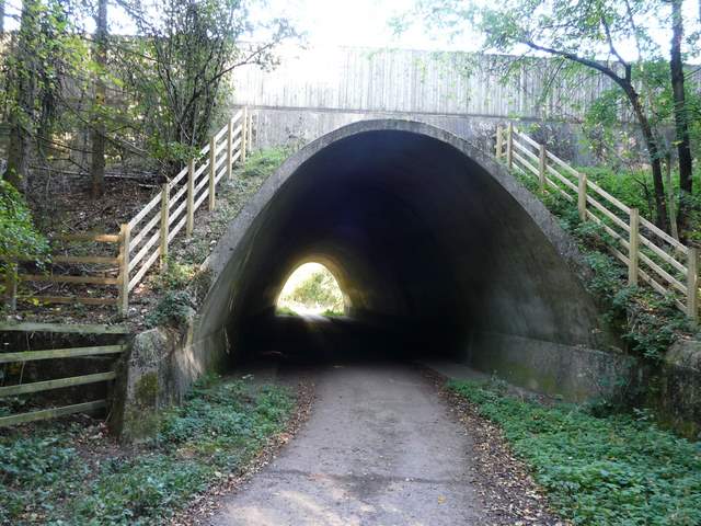
The M40 bridge, by Cadmore End School
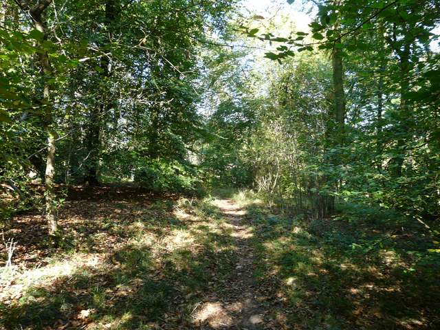
Path in pound Wood (the path cuts a corner off the forestry track)