Pete's Walks - Cowleaze Wood and Radnage (page 4 of 5)
The lengthy path through East Wood was now heading south, before turning more westerly. Just after passing the bottom of a slight descent, the footpath forks right from the clear track. (NOTE: I am very grateful to the people who put white arrows on trees, etc., to mark the routes of footpaths, but the white arrow here is not very helpful. It is a vertical arrow on a tree that is halfway between the track and the path, so it could just as easily be interpreted as 'Go straight on'! It really should point right, or at least be at an angle pointing half-right.) This path led on through the trees, before joining a surfaced drive for a few yards to reach a minor road just south of Stokenchurch (the road I drove to reach Cadmore End on Saturday).
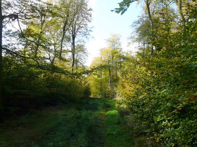
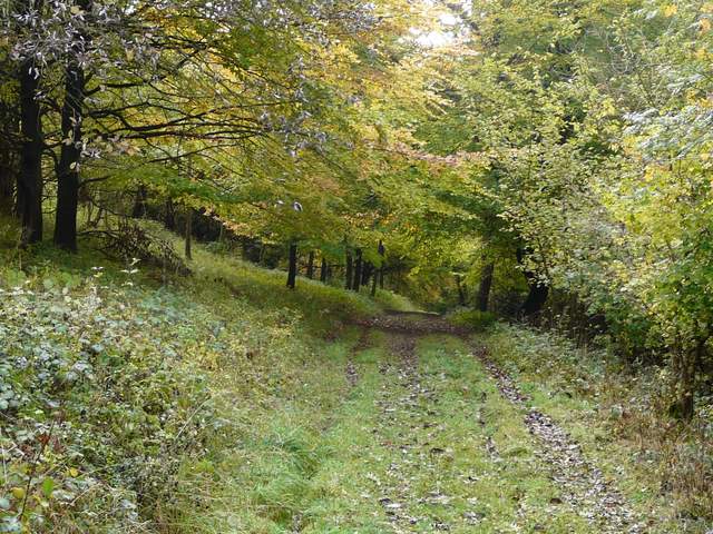
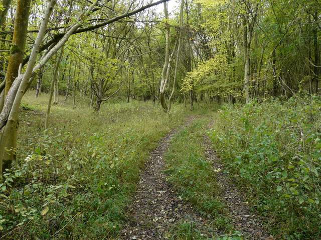
The path through East Wood
The path through East Wood, shortly before it leaves the wide track
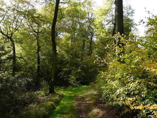
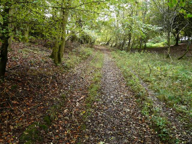
The path through East Wood, after it has turned off the wide track
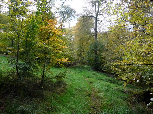
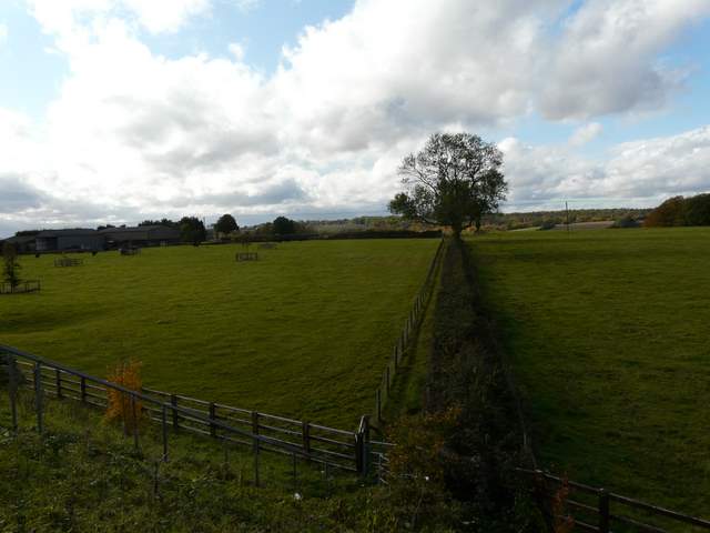
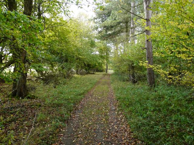
The drive leaving East Wood
I crossed over and followed the road to my left, immediately crossing a bridge over the M40 motorway. I then took a path on my right, going down a small embankment and then running between a fence and a hedge towards Penley Farm. I was surprised to see some fading Musk Mallow here, and a few yards further on I spotted a Red Admiral butterfly. There were black cattle in the pasture to my left, and where the hedge ended a sign on the kissing-gate warned of the possibility of a bull in the field (this was why I did not include this path in my Chiltern Chain Walk). I went through a second kissing gate into another pasture (there were open gates between all these pastures, so another time I might have had to contend with the cattle) and followed its right-hand fence to a fingerpost, where the path turned half-left to cross the pasture. I went through an old metal kissing-gate, and the path now turned right and descended pretty steeply through Penley Wood to reach the bottom of the valley that I think is called Twigside Bottom. As I turned left, I was again on a bit of Saturday's route but going the other way.
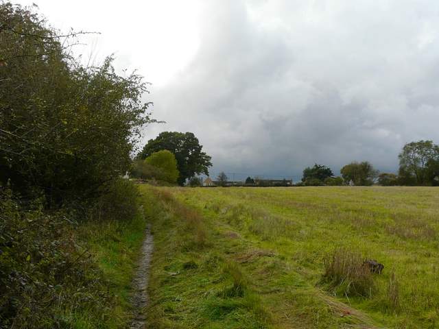
Looking along the path past Penley Farm
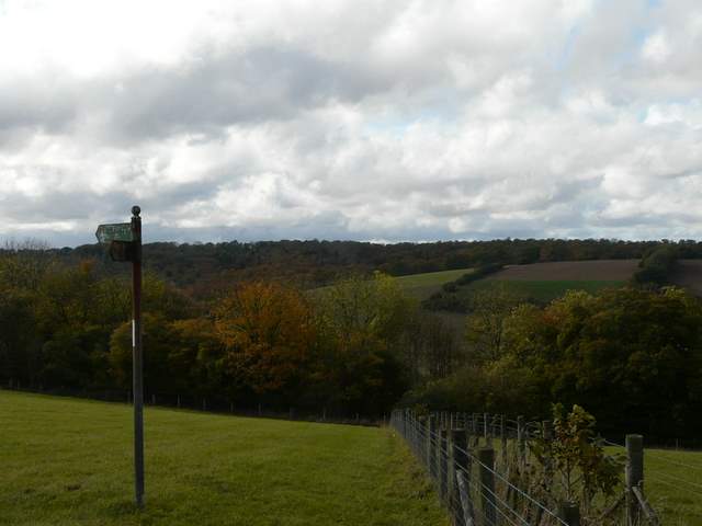
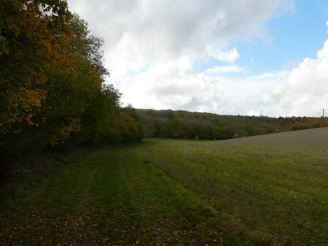
Looking ahead across Twigside Bottom, from where the path turns half left at Penley Farm
The path descending into Twigside Bottom
The path descending into Twigside Bottom
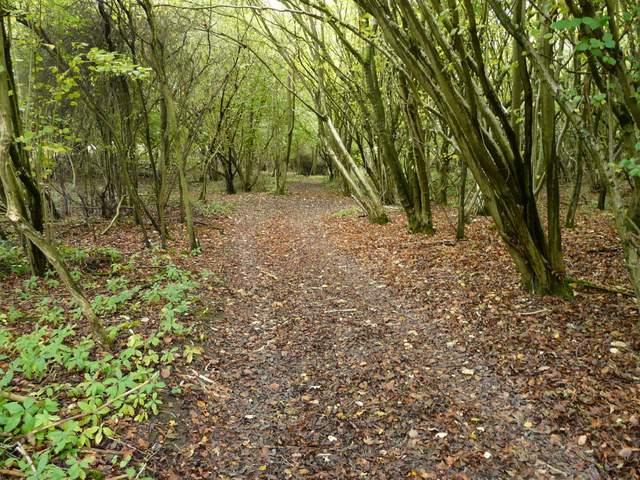
The bridleway in Twigside Bottom
I soon passed a path staring to my right, and equally quickly reached a second such junction. I took this second path on the right, which soon emerged from the trees and followed a left-hand hedge past a field of stubble. The path then entered a belt of trees, gradually rising uphill and continuing on up through Hartmoor Wood. At the top of the hill the path passed another field on the right, with some farm outbuildings to the left (I was surprised to see a Foxglove in flower here), and then emerged on the road through Ibstone (almost opposite the cricket ground).
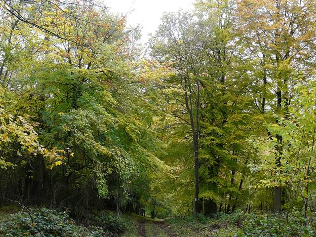
The start of the path from Twigside Bottom to Ibstone
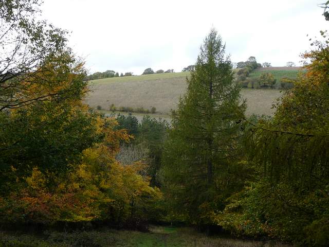
The path from Twigside Bottom to Ibstone
The path from Twigside Bottom to Ibstone
The path from Twigside Bottom to Ibstone
The path from Twigside Bottom to Ibstone
The path approaching Ibstone