Pete's Walks - Ibstone, Skirmett and Wheeler End (page 4 of 5)
Entering new territory once more, I took the path that continued eastwards from Mousells Wood, descending across a large empty paddock. I crossed a minor road and took a footpath continuing on the other side, now heading northeast through a large pasture. There was soon a wood on my left, as the path rose gently uphill. Where the wood ended, the path went through an open gate and continued beside a wire fence on my right. In the corner of this pasture, it reached a crossing path which I followed left to reach a wood called Long Copse.
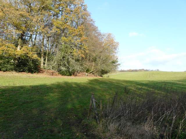
Start of the path from across the Fingest to Moor End road
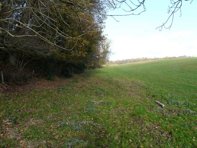
The path continuing beside the wood
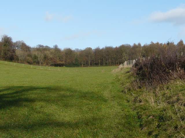
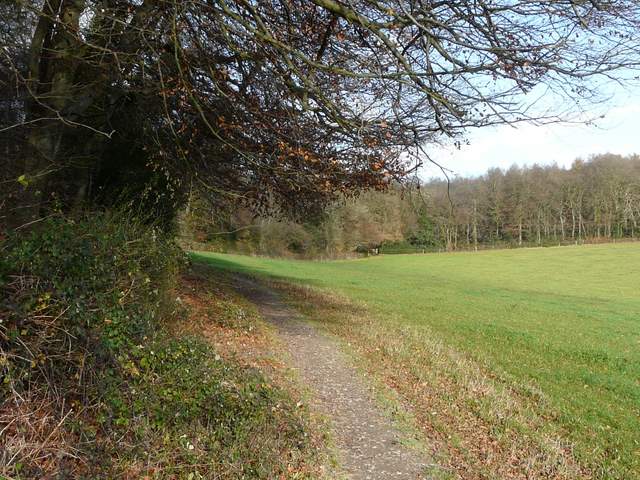
The path follows the fence and turns left beside the crossing fence ...
... to reach Long Copse
Here I turned right, following a path that followed the edge of the wood northeast. This path is on the route of Walk 14 of my Chiltern Chain Walk, but I left that as I entered Fining Wood and took a path continuing northeast (straight on). This almost immediately went over a crossing track, and not too far after joined a bridleway which I followed left (northwards) to a drive, where I turned right to reach a road in Bolter End.
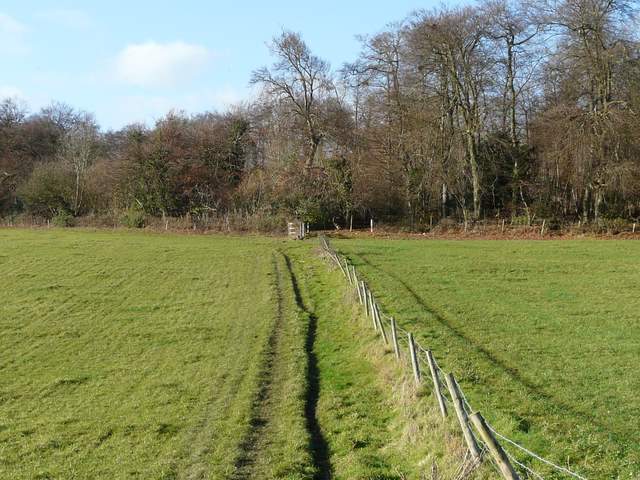
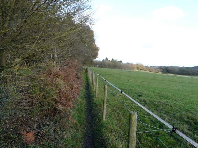
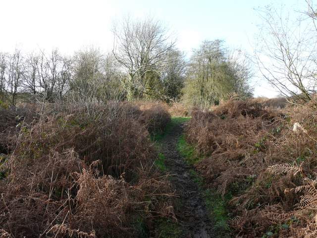
The path along the southern edge of long copse, heading for Fining Wood
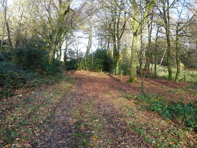
Fining Wood
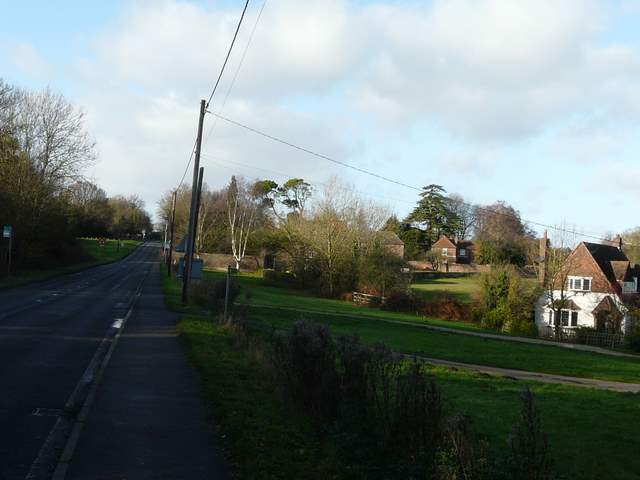
The B482 in Bolter End, just before I took the footpath going right
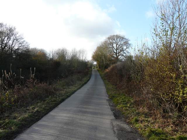
I went a few yards left, then took a path on the right. After going past a garden on the left, this ran for almost half a mile between a hedgerow on my left and the fences of some paddocks on my right. Near the end of this section I found a bench where I stopped for my lunch - I now realised that I wouldn't be able to complete the route I'd originally intended, and started to study the map to find a shorter way back to Ibstone. A little further on the path turned right, running beside the noisy M40 for about a quarter of a mile. I then climbed a flight of steps that led to a road crossing a bridge over the motorway, which took me into the village of Wheeler End.
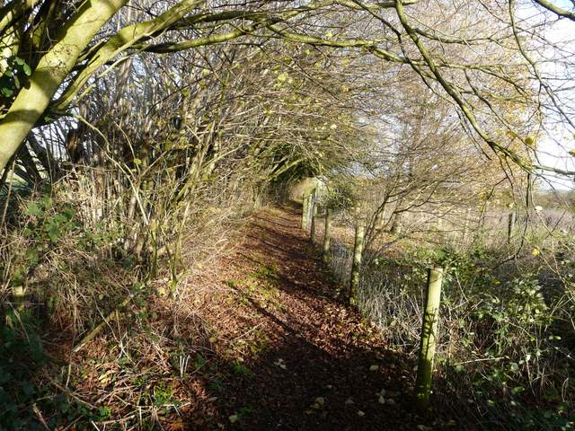
The footpath from Bolter End
The footpath from Bolter End passing the paddocks, heading towards the M40
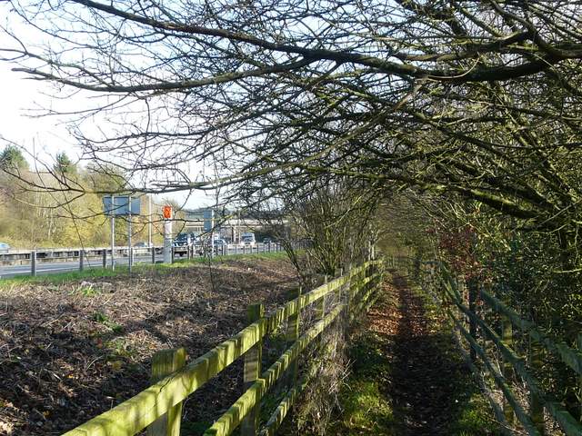
The path continuing beside the M40 - the bridge going into Wheeler End is visible ahead
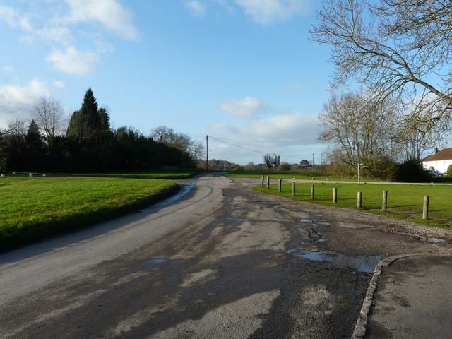
Wheeler End
I followed the road north a short way through the village, then turned left as the open area of Wheeler End common began on my left. I followed a path across the grass to the right of a track, gradually descending into the small valley on my right - almost as soon as I reached the valley bottom, I joined the track. Across a minor road, I soon forked right at a path junction - I'd not been this way across the common before, and was hoping to go northwest to cross it diagonally and reach a lane on the northern side. The path started off in the right sort of direction, but then curved left and I thought it was going to rejoin the path along the southern edge of the common. But I eventually reached a junction where I could go right, and I soon managed to find my way to the lane I wanted (NOTE: there are numerous paths across this common and it is hard to give exact route directions, so for anyone thinking of doing this walk themselves a simpler way would be to turn right along the road, then turn left into the lane).
Wheeler End Common
Wheeler End Common
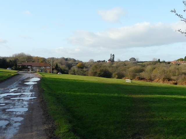
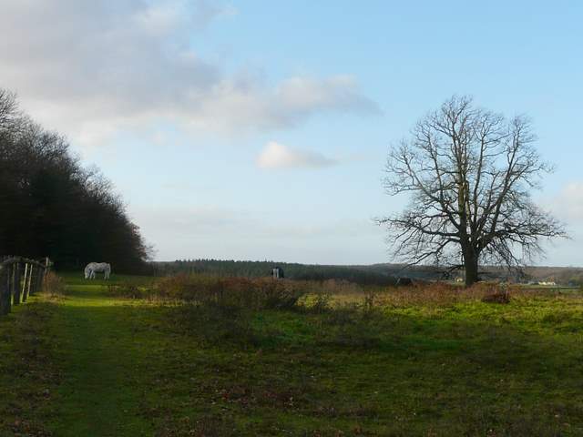
I followed the lane left (westwards), and near its end turned right along the drive to Watercroft Farm. A path soon went off left, running through a paddock with a few ponies in it. There was a nice view northwards here, across a valley to the woods around Studley Green.
The lane past Huckenden Common
Start of the path going west from near Watercroft Farm
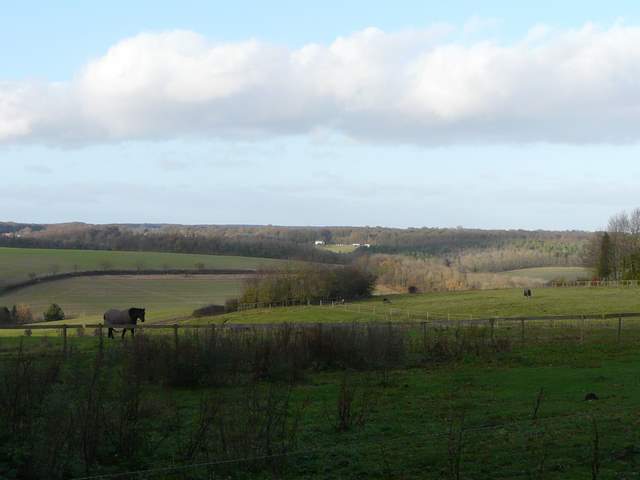
Looking north, towards Studley Green