Pete's Walks - Buckland Common, The Lee, Chesham (page 4 of 4)
Across the road, a track led half-left between garden fences and some small empty fields or enclosures on my right. At a path junction I turned right on a track to Ramscoat Wood - I stopped here on a stile to eat my lunch, it was now around 1pm. The track led on through the wood, and then descended into the valley of White Hawridge Bottom, where I turned right to pass by the Ostrich Farm (sadly it seemed devoid of ostriches today).
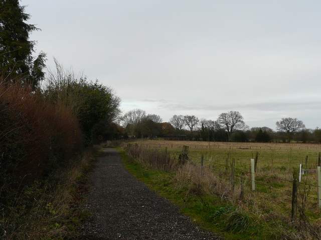
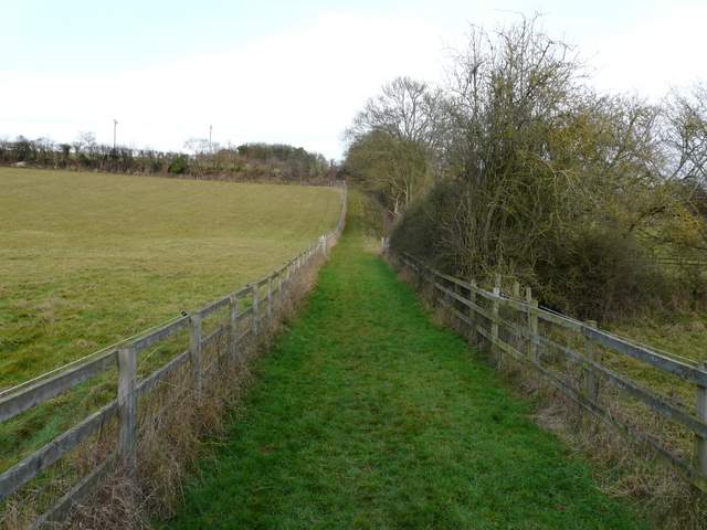
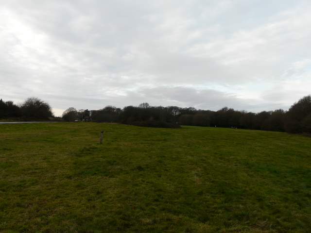
The path going north from Chesham
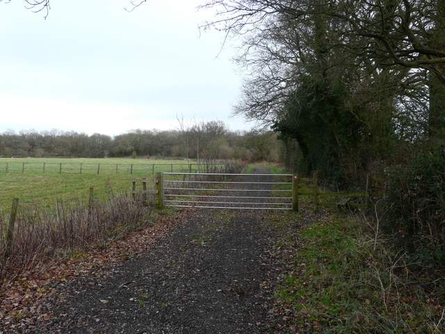
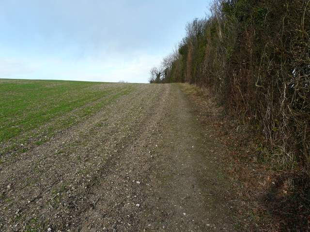
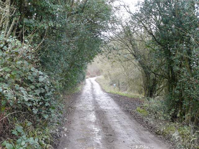
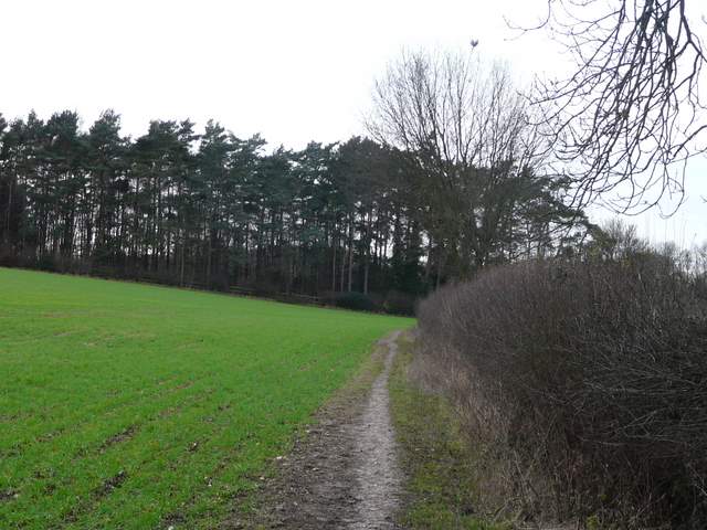
The path to Ramscoat Wood
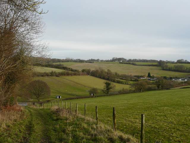
From the edge of Ramscoat Wood, looking over the ostrich farm, with the Vale of Chesham on the right
The path next to the ostrich farm (the path where I turned left runs this side of the first hedgerow on the left)
I then took a path on the left (that started by the ostrich farm), going uphill and continuing straight on at a slightly staggered path crossroads (I had to turn left then immediately right). The path followed the right-hand hedge of a large arable field, turning right in a corner and then going left through wide hedge gap. It then continued through the centre of two more large arable fields. I was now following a wide ridge northwest-wards, with valleys on either side of me. Beyond the large arable fields, the path continued through a couple of meadows and then I took a short path on the right to reach Hawridge Church.
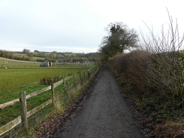
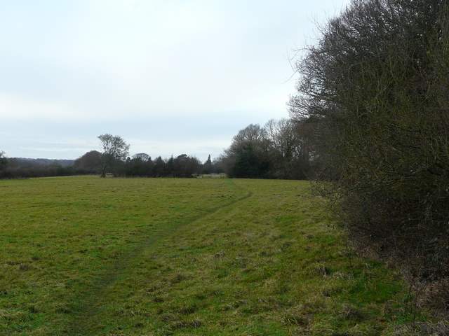
The path going north pat the ostrich farm
Near the start of the long field path to Hawridge Church
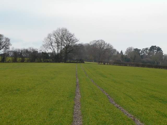
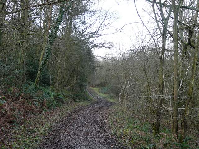
The path to Hawridge church
The path to Hawridge church
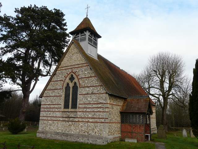
Hawridge church
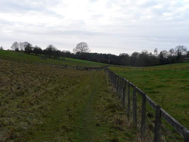
I followed the lane from the church to a minor road, crossed over, and followed a path ahead that descended through trees. At the bottom of a small valley, I turned left along a lane past Valley Farm but soon forked right along a surfaced drive and then a muddy track along the eastern edge of Hawridge Common, following a valley bottom. I crossed a lane and after about a third of a mile I turned left up a grassy slope to reach a wide grassy area of common on the boundary between Hawridge and Cholesbury, almost opposite a road junction.
The drive from Vale Farm
The bridleway along the western edge of Hawridge Common
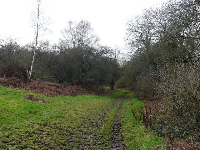
The bridleway along the western edge of Hawridge Common
The common at Cholesbury, from the edge of Hawridge
With hindsight I should have taken the road ahead of me, as the parallel path I took to its right was very muddy indeed, and I struggled to keep my footing as it dropped downhill into another valley. At the valley bottom (where it met the road), I turned right and followed a path through a number of pastures and then followed the hedge of a large arable field. In the field corner I turned right at a path junction (if I'd gone straight on I'd have been on my earlier diversion that took me to Dundridge Manor). I emerged on a road by a garage, where I turned left to reach Bottom Road and my waiting car.
The path from Cholesbury to Buckland Common
The path from Cholesbury to Buckland Common
As you can see from the particularly dull photos it remained a very grey day almost throughout the walk. It was also pretty muddy everywhere, although only unpleasantly so in a couple of places. This meant it was nowhere nice a walk as it could have been, as it was a perfectly reasonable route with a few ups and downs and a good mixture of fields and woods.