Pete's Walks - Buckland Common, The Lee, Chesham (page 3 of 4)
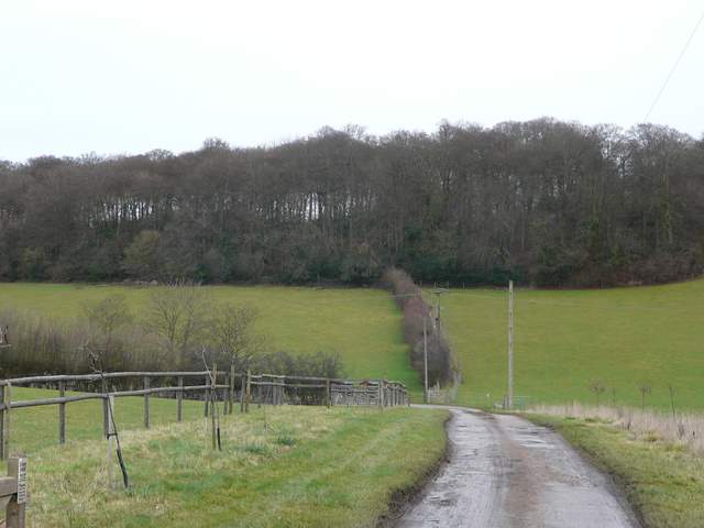
I continued along the path between fences and hedges, going straight on at a slightly staggered crossroads of paths (I had to go a few yards left then turn right, initially along a drive) and descending into a long valley called Herberts Hole. There were a few yards of lane walking as I turned left, but then a long wide track followed the valley bottom eastwards towards Chesham. I'd been concerned that this bridleway might too be muddy (it was a bit of a slog walking it in February), but it wasn't too bad. It was nice easy walking following the track along the valley bottom, and as usual here I spotted a couple of Red Kites above the hillside on my left.
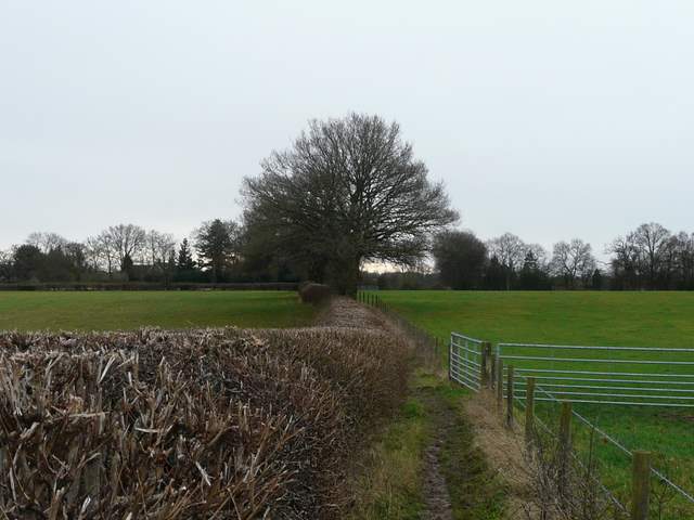
The path going south from Bellows Wood
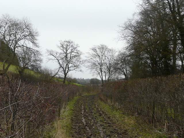
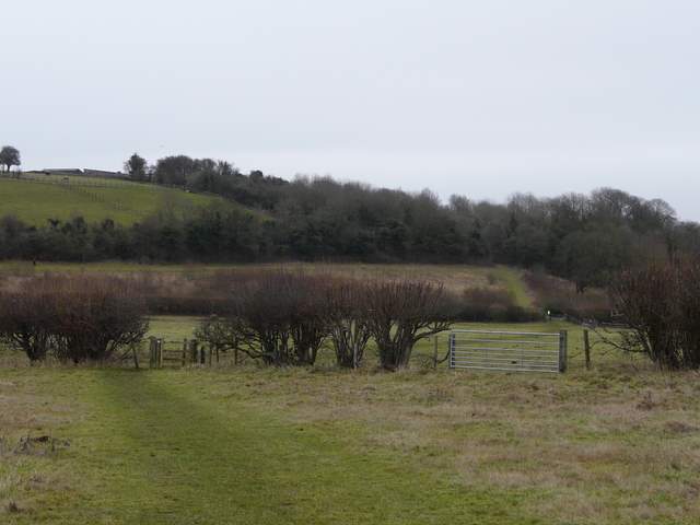
The path going south from Bellows Wood, descending into the valley called Herberts Hole
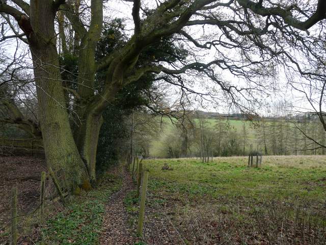
The start of the long bridleway through Herberts Hole
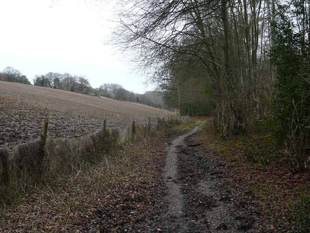
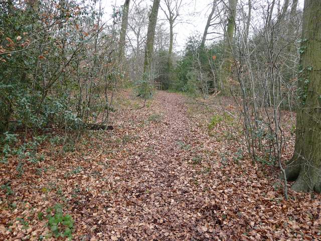
The bridleway through Herberts Hole
The bridleway through Herberts Hole
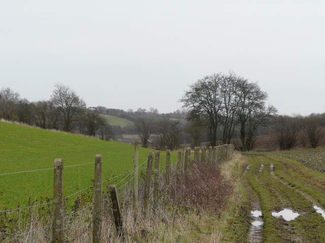
The bridleway through Herberts Hole
The bridleway through Herberts Hole
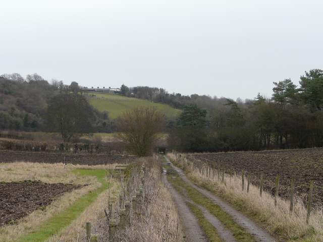
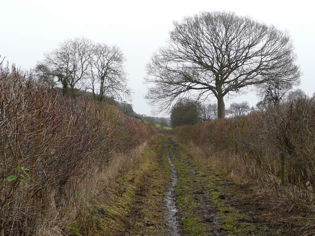
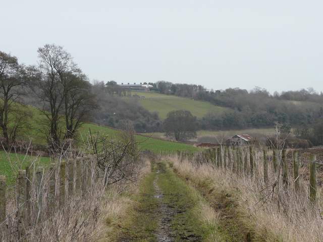
Approaching the end of the bridleway through Herberts Hole
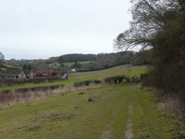
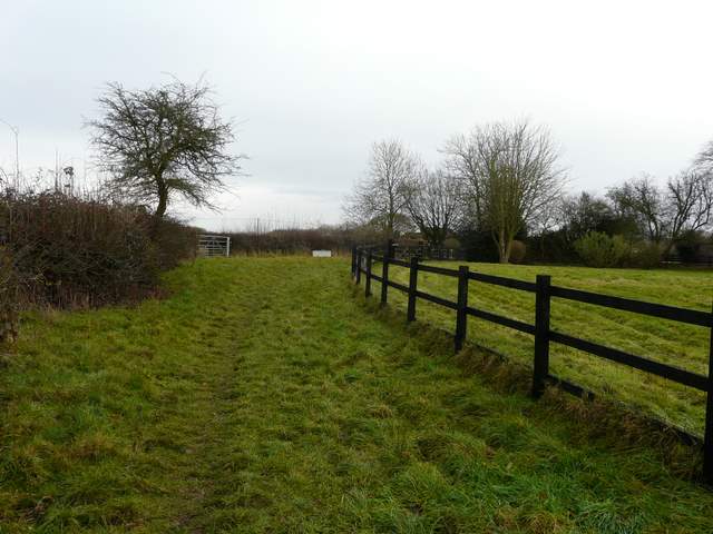
After about a mile and a quarter, the track ended at a lane where I went a short distance right. I then took a path on the left that crossed two large fields, the first with a few horses in it. Across another lane, a path continued a short way uphill to a corner of a field of rough grass, Here I turned sharp left, following the top of the field and continuing on past some paddocks. The path then rose slightly (and muddily) beside garden fences to emerge on a street in the north of Chesham.
The path from the end of Herberts Hole to the edge of Chesham - you can see the route continuing uphill to a corner in the right of the shot, where I turned sharply left
The path going northwest, along the outskirts of Chesham
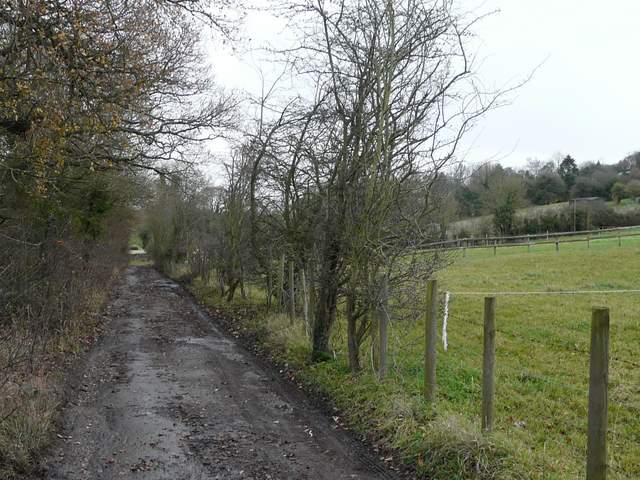
I followed the street left for a quarter of a mile or so, then turned right into a track called Buslin Lane. This dropped steeply into a small valley, before turning right along the valley bottom, then turning left to reach a minor road. Across the road I followed the drive to Hazeldene Farm until it turned left, continuing ahead on a bridleway going uphill to Captain's Wood (I saw both a Red Kite and a Buzzard above the wood). On entering the wood the bridleway went right, but I continued straight ahead on a footpath. I then turned left as I reached a junction just inside the far edge of the wood. The new path kept close to the northern edge of the wood (to my right), and at the next path junction I went right, leaving the wood and passing close to Mount Nugent Farm (also to my right). After a series of gates the path followed the drive from the farm and reached a road in Great Hivings, a 'suburb' on the northern edge of Chesham.
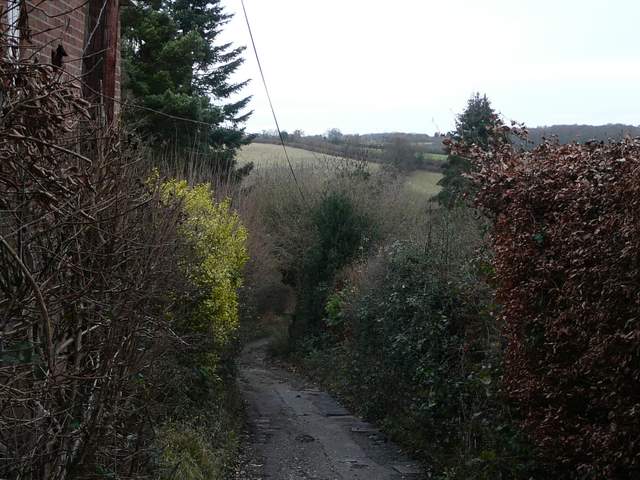
Near the start of Buslin Lane
Buslin Lane
The path to Captain's Wood
Captain's Wood
The path passing Mount Nugent Farm