Pete's Walks - Little Missenden and Forty Green (page 1 of 5)
If you are considering walking this route yourself, please see my disclaimer. You may also like to see these notes about the maps and GPX files.
Google map of the walkDownload GPX file of the walk
I did this 15 mile circular walk on Saturday, 28th January 2012. It was a new route for me, with just over half of it on paths I'd not walked before..
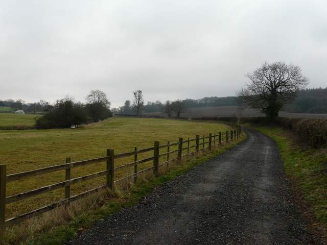
I'd intended to start at the car park just north of the A413 near Little Missenden (I'd used it on Day 2 of my South Bucks Way walk in 2005), but when I got there it had obviously been closed and there was simply no trace of it (even though it was still signposted from the A413). So I ended up parking in Little Missenden, opposite the church (grid reference SU 921989), and started walking a little late at about 10am. I headed east (so I set off with the church on my left) along the minor road through the attractive village, then just past the second of two pubs I passed on the left, I went straight on as the road turned left. A surfaced track (part of the South Bucks Way route) led on between fields in the Misbourne valley. At a track crossing I turned left, soon crossing the river Misbourne and then reaching the A413, at a stretch where it is a dual carriageway.

Little Missenden church
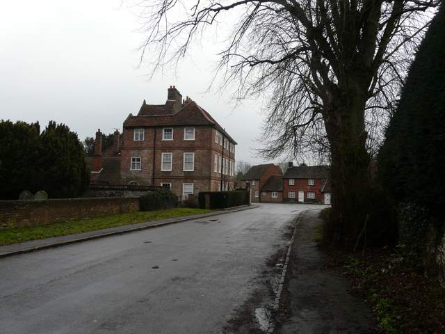
Little Missenden
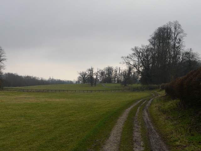
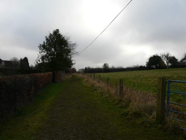
Near the start of the path along the Misbourne valley, going east from Little Missenden
The path along the Misbourne Valley (I turned left where the fence goes)
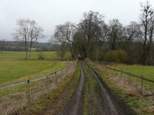
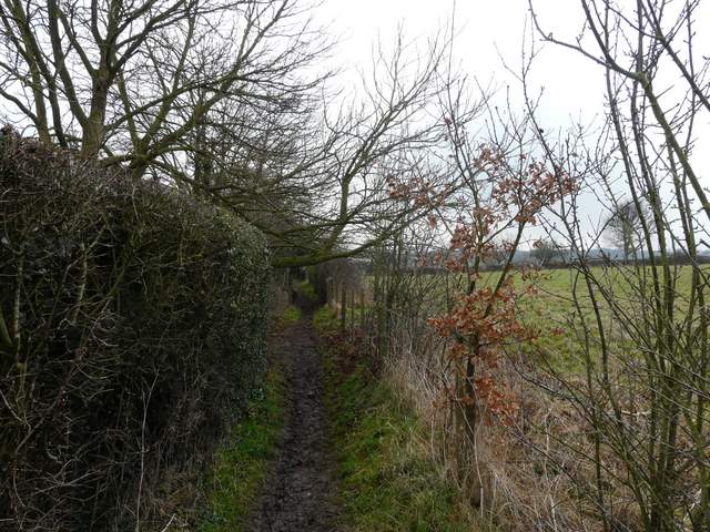
The footpath (part of Mop End Lane) across the valley to the A413
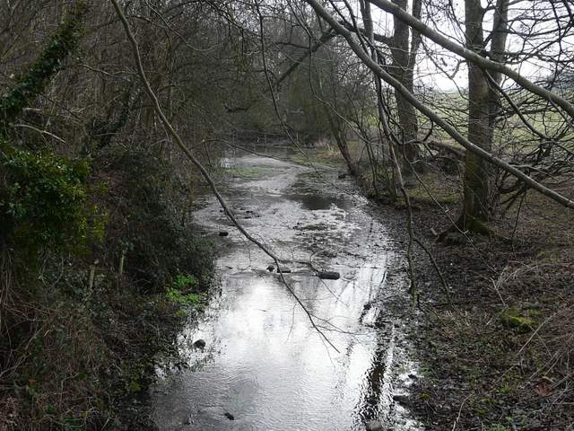
The river Misbourne
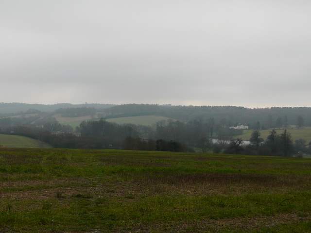
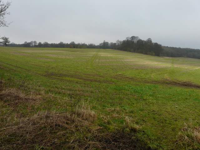
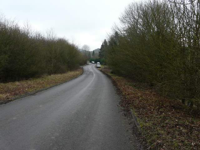
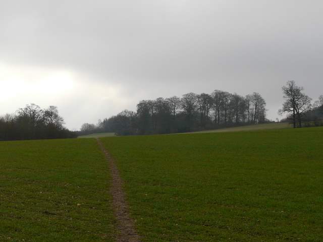
Across the main road, I continued along the minor road to Hyde Heath, which climbed steadily uphill with woods either side. I passed the spot on the right where the car park had been and could not see any evidence that it had ever been there. Just before the road crossed a railway line I turned right on a path that led through part of a wood called Ash Grove - this was the first part of this route that was new to me. Where the path came out of the wood, there were good views over the Misbourne valley, it was just a shame that it was grey and a bit misty at this time. The path then descended across a huge stubble field to a far corner in the valley bottom. I carefully re-crossed the A413 and followed the road left a short way to a roundabout, where I went right along a short road that took me to the entrance to the grounds of a huge white house called Shardeloes, up on the hillside above me. (Note: I just did the section described above because I'd not walked it before, I'd probably just stick to the path along the Misbourne valley if I did this walk again - that section through the grounds of Shardeloes is very pleasant and easy to follow).
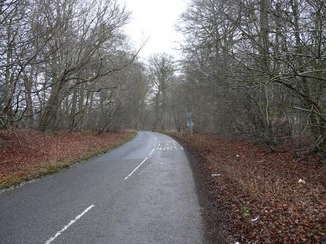
The road to Hyde Heath
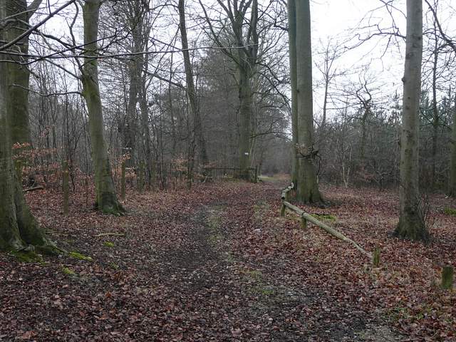
Near the start of the path through Ash Grove
The footpath continuing from Ash Grove back down into the Misbourne Valley
Looking back towards Ash Grove
The road to the Lodges at the entrance to the grounds of Shardeloes
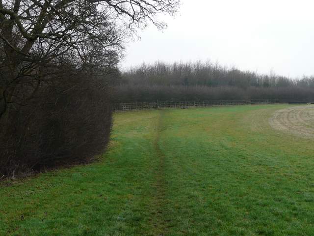
Just through the gates and lodges at the entrance to Shardeloes, I took a path on the left (again a new one for me). This crossed a field of winter corn to a hedge corner, then followed the hedge a short way to a stile. Here I crossed the A413 for the third time (definitely something wrong with my route planning!) and took the path on the far side that ran behind the gardens of houses on the wonderful High Street in Old Amersham, on my left. The path eventually joined a roughly surfaced street in Old Amersham. When I reached the T-junction at its end, I went a little way left and turned down a street on the right.
Start of the path going southeast from the lodges at Shardeloes
The path, approaching the A413
The path along the southern edge of Old Amersham
The path along the southern edge of Old Amersham