Pete's Walks - Little Missenden and Forty Green (page 2 of 5)
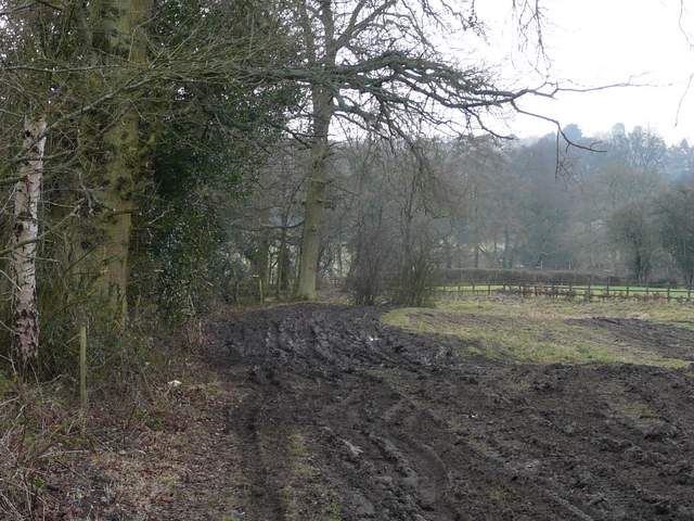
After a hundred yards or so a gateway led into a meadow of rough grass on the right. I took a path going half left, and then went right along the bottom of some gardens (this was rather awkward in places, it would have been easier to keep on a path straight through the middle of the meadow, but that is not shown as a right of way on the map). At the end of the gardens, I went left, soon joining a tarmac path and turning right to cross a bridge over the A413 (well, at least I used a bridge this time!). I then turned right, initially with garden fences on my left, on a long path heading southwest towards Coleshill (I was now on a section of the Chiltern Heritage Trail, though this is not shown on the OS maps). After about half a mile the path turned right, across part of a large arable field, and then turned left below an embankment (actually the most obvious path went along the top, but the map shows the right of way at the bottom). At a waymark sign I turned left (leaving the Chiltern Heritage Trail) and re-crossed the field (so I could have just kept on the original path, though the section I omitted is not shown as a right of way on the map). Turning right along a hedgerow, the path left the field in the corner and continued uphill between hedges and fences to a bend in a road on the outskirts of Coleshill.
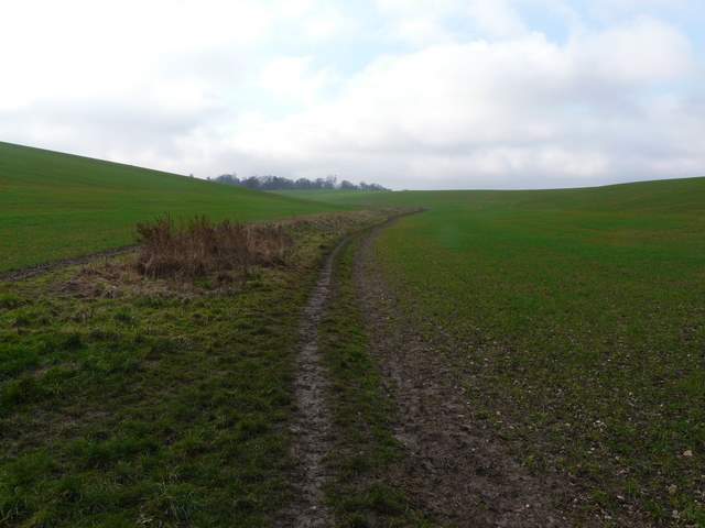
The path from Old Amersham to Coleshill
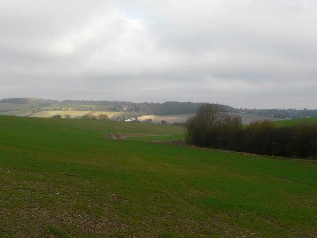
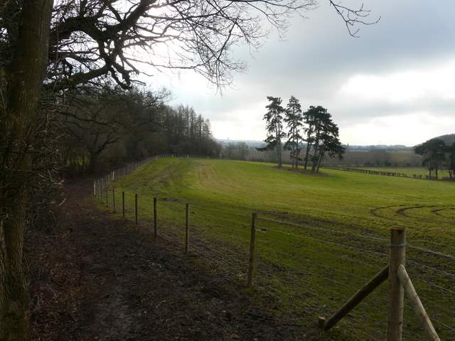
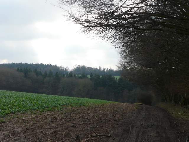
Looking back to the Misbourne Valley from the path to Coleshill
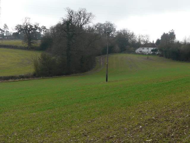
The path crosses this field to the post by the bend in the hedgerow
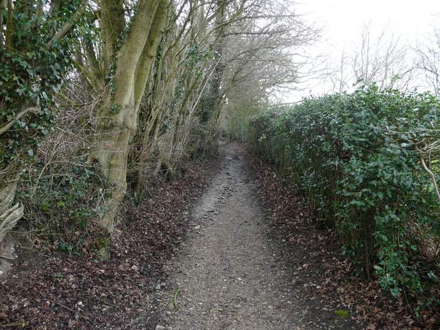
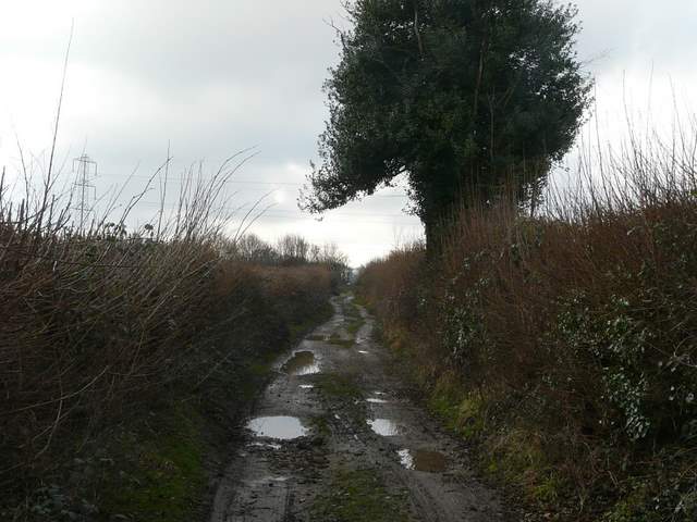
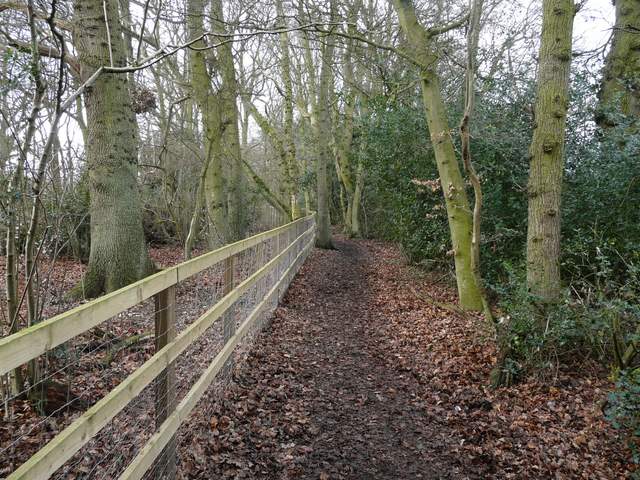
The path shortly before reaching the road in Coleshill
I turned right (straight on, really) and when the road turned right I took a path continuing ahead. This was initially very muddy where vehicles had been, but I had the compensation of seeing several Redwings here. The path continued very gradually downhill beside a tall hedgerow on my left, with a fence on my right and an open grass field dotted with a few trees on my right. It then continued as a track between fields showing the green shoots of winter corn. I was now walking parallel to the A335 main road a short distance to my left. At a crossing hedgerow I joined part of the route I walked last week, but in the opposite direction. After the next hedgerow I turned right, then turned left in the next field corner to reach a minor road (just west of Bowers Farm on the OS map).
The start of the footpath south from Coleshill
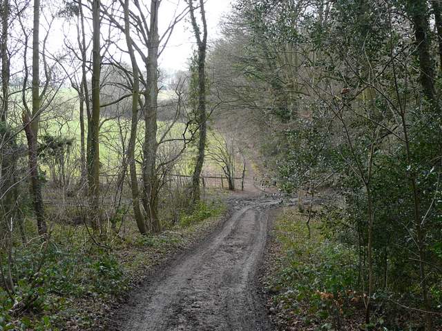
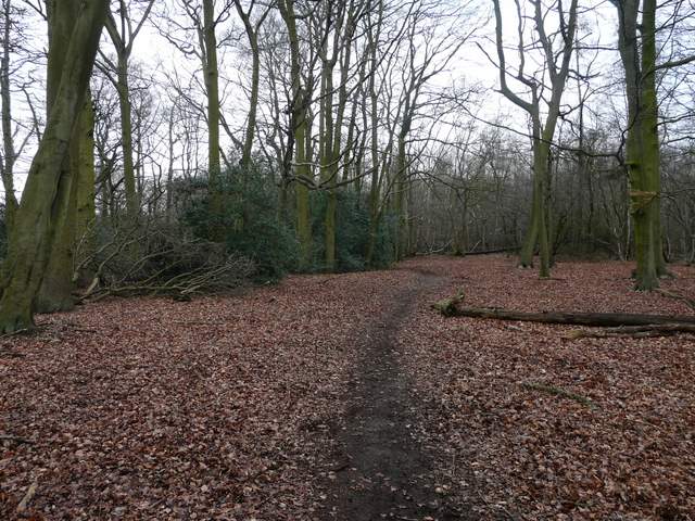
The path south from Coleshill
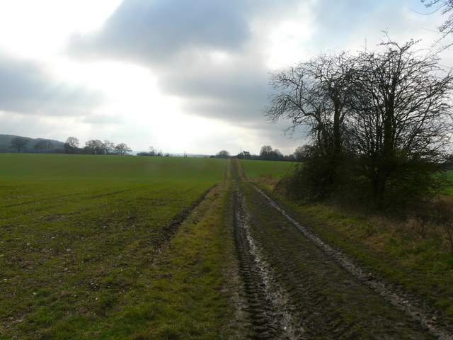
The path south from Coleshill
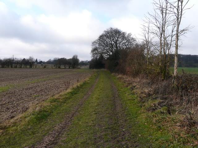
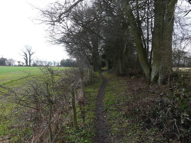
The path just north of Bowers Farm (it goes left in the field corner)
Across the road a track continued on onwards to Ongar Hill Farm, which I soon passed on my left. Further on the track turned slightly right and soon dropped down into a small valley with a narrow strip of woodland at the bottom. The path narrowed as it continued gently up the opposite slope, running between a fence and a right-hand hedgerow. At the top of the slight hill I came to a path junction (near Wood Cottage on the OS map), where I took a path going right (last week's route had come in from the left here). The path went west, then southwest, through the southernmost part of Great Beard's Wood.
The track to Ongar Hill Farm
The bridleway going southwest from Ongar Hill Farm
The bridleway going southwest from Ongar Hill Farm
The bridleway continuing towards Wood Cottage
Start of the path going west from Wood Cottage
The path going west from Wood Cottage
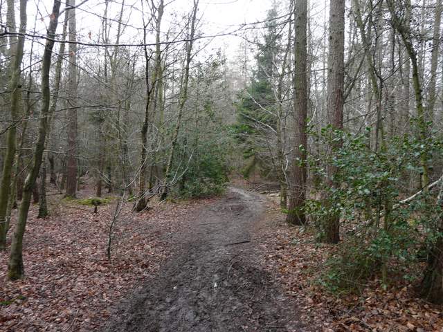
The path through Great Beard's Wood