Pete's Walks - Little Missenden and Forty Green (page 5 of 5)
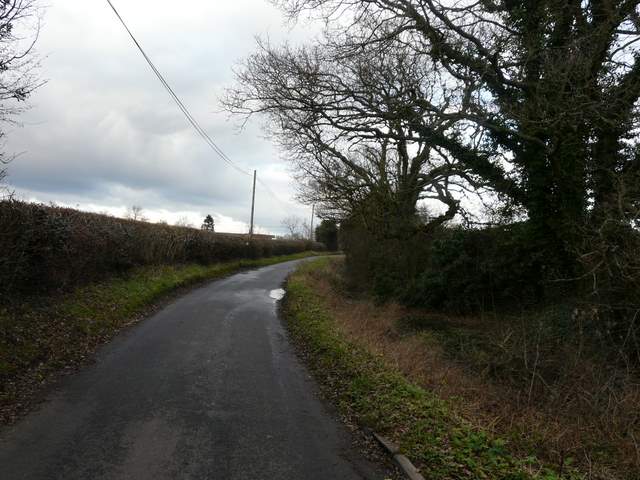
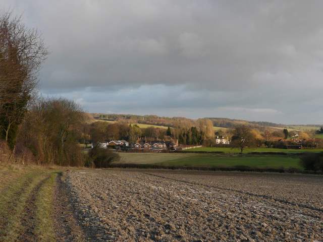
On the far side of Penn Wood I carefully crossed the A404 and followed the lane opposite, soon forking right into Beamond End Lane. I followed this quiet lane for about half a mile, before taking a path going left. The path initially ran beside a hedge on my right, before dropping downhill across an empty pasture to reach a wood. Beyond the wood the path continued between fences and hedgerows with paddocks and meadows either side to reach the village of Holmer Green.
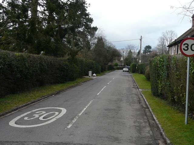
Start of Beamond End Lane
Beamond End Lane
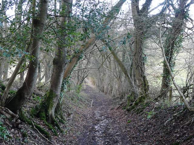
The path from Beamond End Lane to Holmer Green
The path from Beamond End Lane to Holmer Green
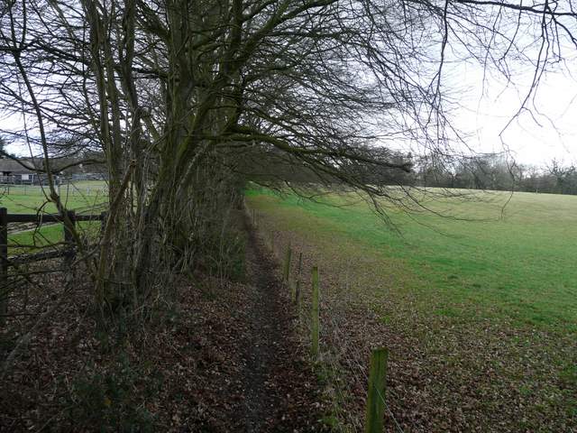
The path from Beamond End Lane to Holmer Green
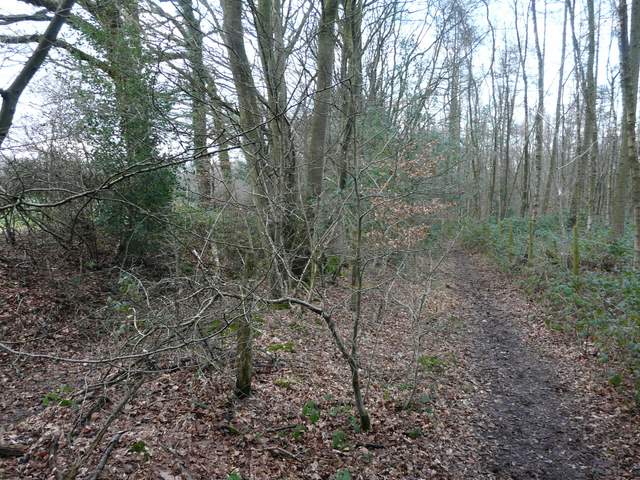
On entering Holmer Green, I continued straight on. Just after the residential street turned right, I took a footpath between houses on the left and then turned right at a path crossroads to reach Penfold Lane. A few yards to my left, another path started on the opposite side, soon entering an irregularly shaped pasture, where it initially followed the right-hand hedge before turning half-left, passing a protruding hedge-corner on the left and eventually reaching the far left corner of the field. In the next pasture the path followed the left-hand-hedge, with Featherbed Lane on the other side of the hedge. On reaching Haleacre Wood, the path crossed a drive and went half-left, still staying quite close to Featherbed Lane which was now just a track. After a few hundred yards, the path crossed the lane - here I turned right, following Featherbed Lane downhill between hedges, and then up the other side of a small valley, passing through a small wooded area to emerge on the drive to Affrick's Farm.
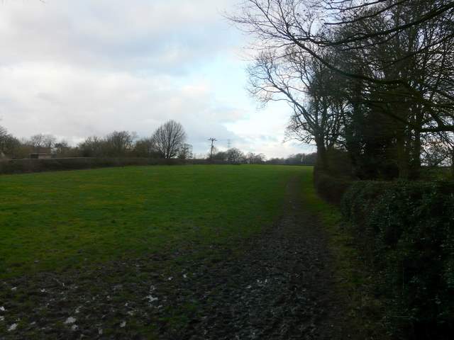
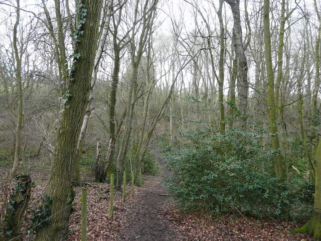
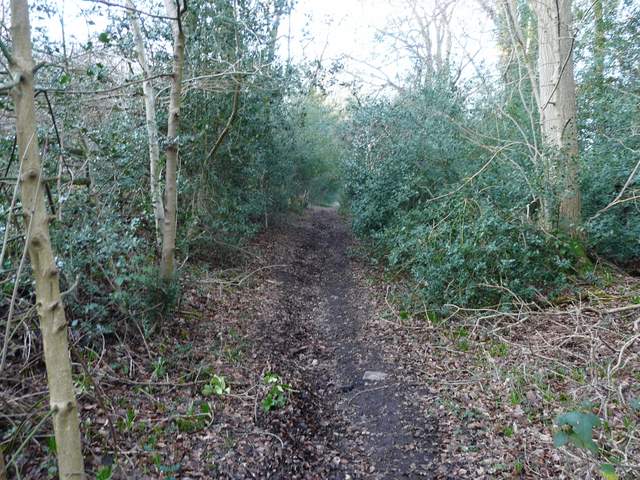
The path from Holmer Green to Featherbed Lane
The path from Holmer Green to Featherbed Lane
The path from Holmer Green, beside Featherbed Lane
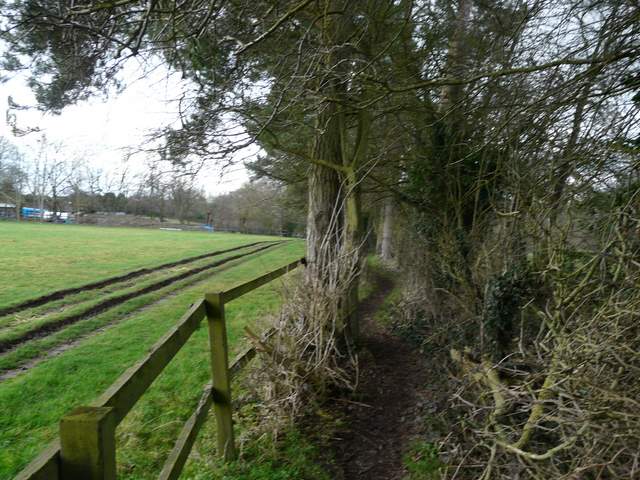
Featherbed Lane
Featherbed Lane
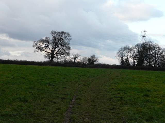
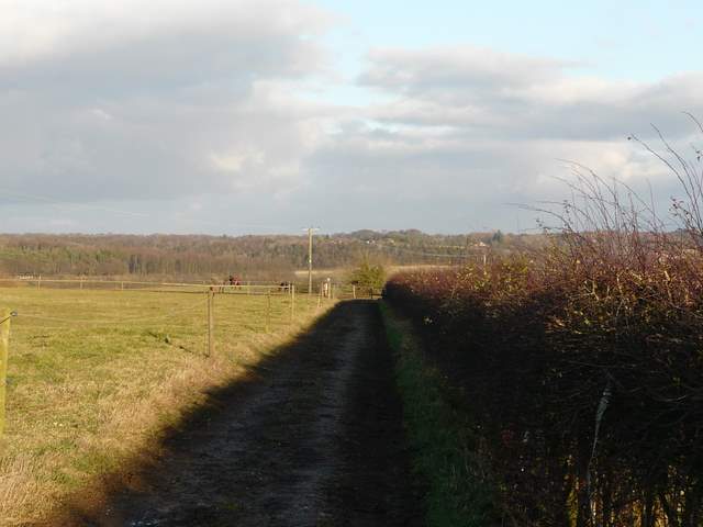
I turned right and followed the drive to the farmyard, and continued on ahead. The path was clearly signposted, but I was a little unsure at one point as the path took the left-most of two tracks beyond the farmyard and at its end there was no waymark sign and a gate that wasn't at all like the normal footpath gates. I wondered if I should have been on the better track to the right of the hedge, but the last signpost and the map showed I was the correct side of the hedge. So I continued on through a muddy paddock with three or four horses in it, and fortunately there was a waymark in the far corner confirming I was still on the footpath. The path now followed the left hedge of a huge ploughed field, then when the hedge went left I continued straight on up a slight hillside. At the top of the hill I turned right at a path junction in the middle of this huge field. I was now on the route of the South Bucks Way, and I well remembered the lovely view ahead over Little Missenden in the Misbourne Valley. I followed the path steadily downhill, and when it crossed a bridleway at the second hedgerow I continued ahead across a large horse field to the far left corner. It was then just a short distance right along the road to the church at Little Missenden and my parked car.
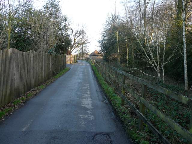
The drive to Affrick's Farm
The path from Affrick's Farm
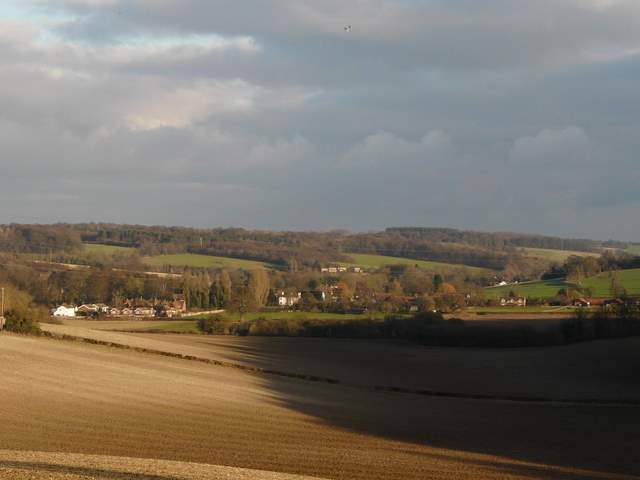
View towards Little Missenden in the Misbourne Valley - who on earth would want to put a high-speed rail link through here?
The path approaching Little Missenden
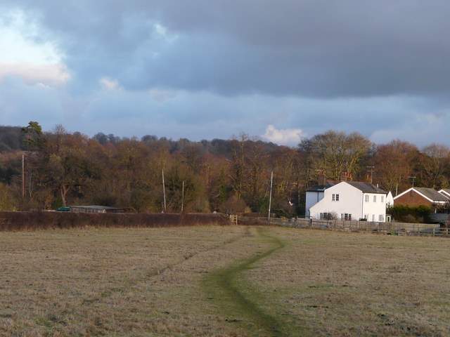
The path approaching Little Missenden
This was an interesting route in that there were numerous paths that I'd not walked before, but somehow I didn't quite enjoy it as much as I normally do when I explore a new area. All of the new sections I walked were pleasant enough, but none of them really grabbed me and made me think that I'd really like to walk them again. But if nothing else, at least I've filled in a few gaps on the map.