Pete's Walks - Maidensgrove and Rotherfield Peppard (page 4 of 5)
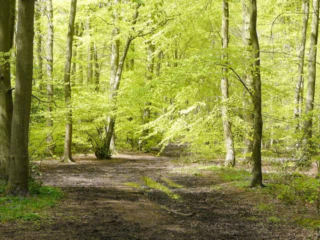
I turned left along the street, soon passing the village church and carrying on to reach a large green beside a rather busy road. Here I stopped on a bench by the road to eat my packed lunch (I think it was now a little after 1pm). I then crossed the road and continued on down a lane, one of those little used ones with moss growing down the middle of it. I went straight on at a junction, the lane descending through the woods of Peppard Common. Where the lane turned left at the foot of the slope, I took a bridleway going straight on into Littlebottom Wood - this was undoubtedly the muddiest section of the entire walk, but after the first few yards it wasn't too bad.
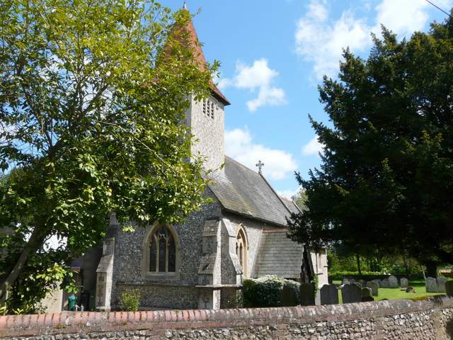
Rotherfield Peppard church
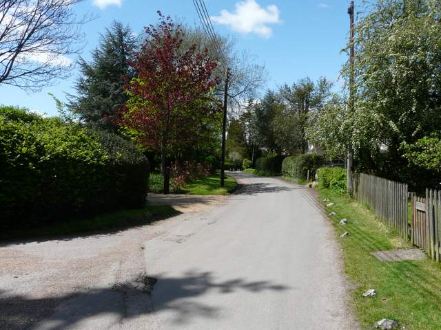
The lane through Rotherfield Peppard
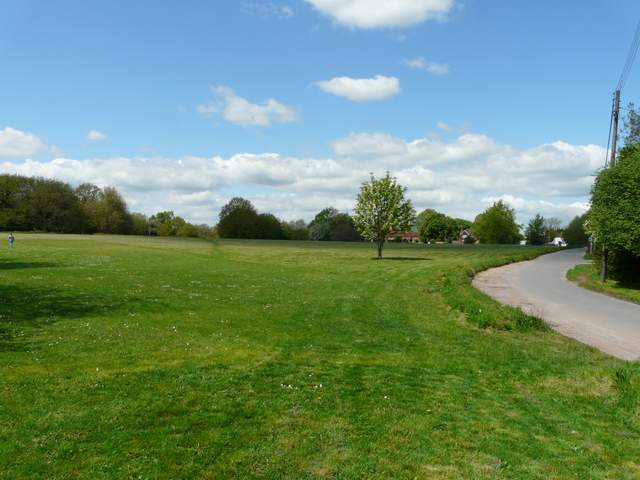
Green at Rotherfield Peppard
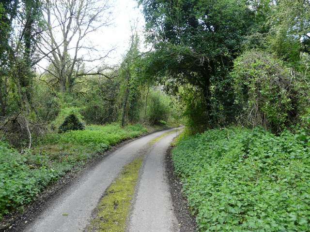
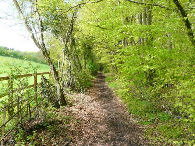
The lane through Peppard Comon
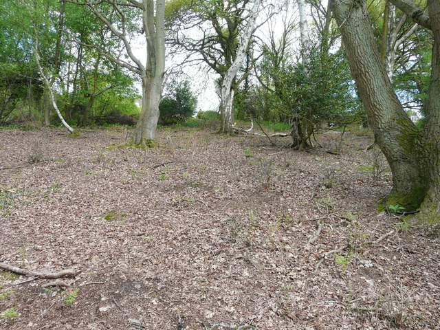
Near the start of the bridleway through Littlebottom Wood
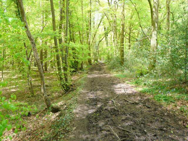
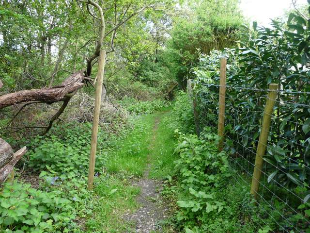
The bridleway through Littlebottom Wood
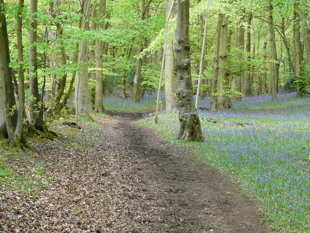
Beyond Littlebottom Wood the muddy path continued northwards between a wire fence and a hedge on my right soon reaching Greatbottom Wood (I'll resist the obvious jokes!). This was a nice beech wood, with yet more Bluebells. After about half a mile, I came to a bridleway crossing - I could have turned right here, and been back on familiar paths within half a mile or so (I've marked this as Alternative 1 on my Google map). But I chose to stick to the slightly longer route I'd set out to do, and continued straight on.
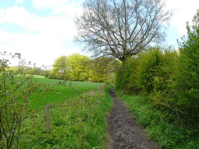
The path between Littlebottom Wood and Greatbottom Wood
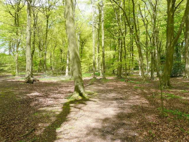
The bridleway in Greatbottom Wood
The bridleway in Greatbottom Wood
The bridleway in Greatbottom Wood
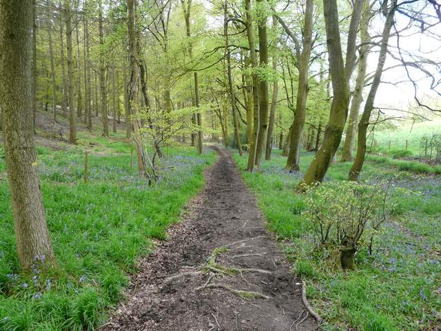
At this point, or very shortly afterwards, I had a sudden flash of recognition - I knew this bit of the bridleway (now in Ovey's Wood) from a walk I do from Stoke Row (it comes near the end of Walk 19 of my Chiltern Chain Walk). That route soon turned left though, and I was once more on a new path as I continued on into Greyhone Wood. At the northern corner of this wood, I went a few yards right between fences to reach a minor road, where I turned left. Just past a bridleway on the left, I managed to pick out a very faint path going up through the open access area on my right (the OS map showed it starting just before the bridleway across the road). The path petered out as I got near the top of the hillside, but I didn't have much difficulty finding my way to the lane on the top side of this wooded slope. A footpath continued on the other side, running between gardens at Witheridge Hill and then along the left edge of a cow pasture (I had to brave some cows and calves in the far corner where the stile was). The path then continued through another pasture, with a few cows a long way off to my left.
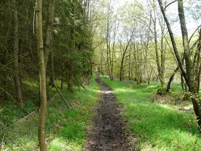
The bridleway in Oveys Wood
The bridleway in Greyhone Wood
The top of the 'Open Access' area at Witheridge Hill
The path at Witheridge Hill
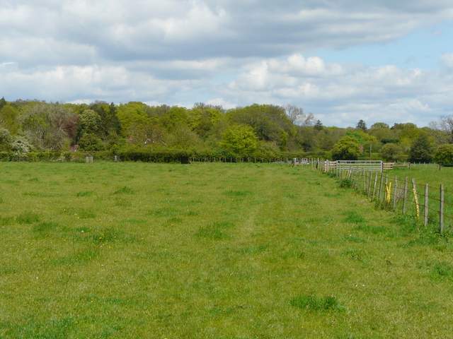
The path going north from Witheridge Hill - this is the second cow pasture