Pete's Walks - Maidensgrove and Rotherfield Peppard (page 5 of 5)
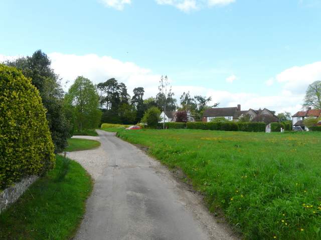
Partway along the right-hand fence of this second cow pasture, I went over a stile into an empty pasture or meadow. A faint path led through the grass to another stile, then I crossed a small enclosure or paddock, and went over another stile to reach a drive near Highmoor Farm. I saw a waymark where the next path started off into some woodland, but the next twenty minutes or so were a bit of a disaster, as I misread the map and failed to turn right where I needed to (to be fair, the map is not very clear here and looking at the map again now I can understand why I went wrong - the fact that this area is right by a fold in the map didn't help either). Still, it was the first time I'd been 'temporarily misplaced' for quite a while. Anyway, I eventually found a path through the woods (I needed to turn right just after entering the wood) and through a meadow to emerge on a road in Highmoor. I went a few yards left, crossed over and went down a public byway that started beside a pub. When this byway reached a bridleway junction at the hamlet of Lower Highmoor, I was back on familiar territory again (Alternative 1 on my Google map comes in from the right here).
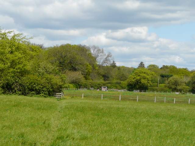
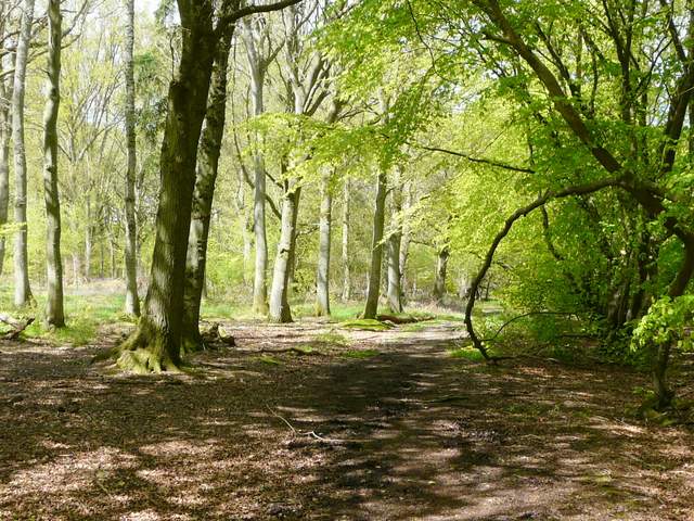
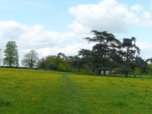
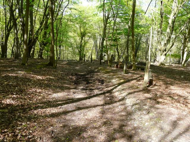
The path going north from Witheridge Hill
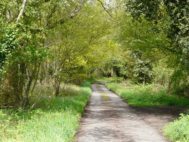
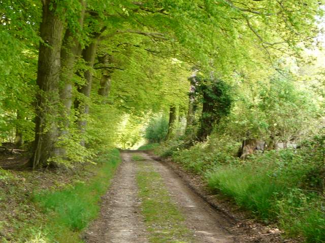
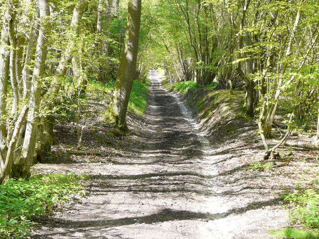
The public byway from Highmoor to Lower Highmoor
The public byway from Highmoor to Lower Highmoor
I stayed on the byway, which continued on to pass a grand house called Merrimoles. A little further on the byway ended at a T-junction with another track, where I continued ahead on a path northwards through Highmoor Common Wood. After a few hundred yards I turned right at a path junction, this path soon bearing left so that I was heading north again. I crossed a track in the bottom of a small valley, and continued on the path as it made its way through what was now Lowercommon Wood. The path (now a bridleway, according to the OS map) turned left, right, then left again, before I eventually reached the A4130 just a little southeast of Nettlebed.
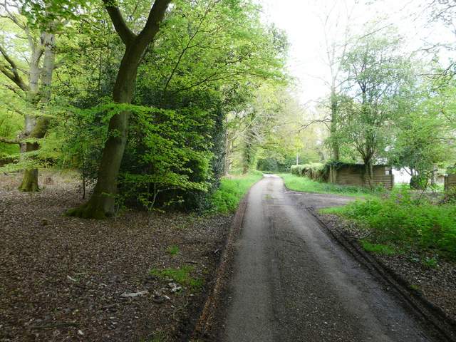
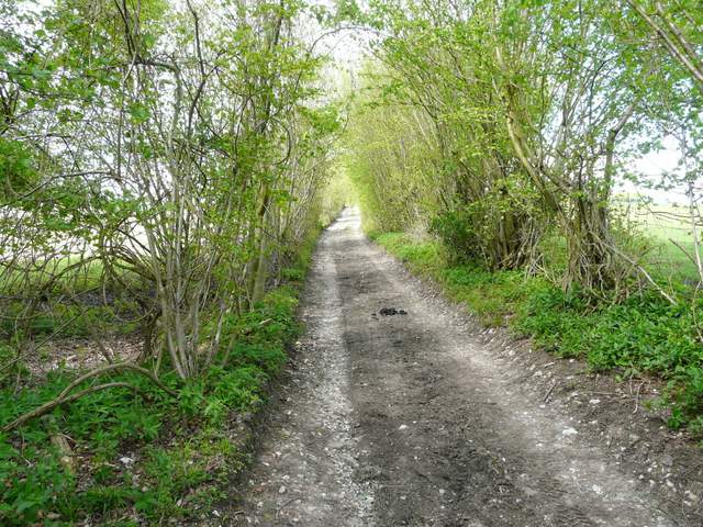
The public byway continuing from Lower Highmoor to Merrimoles
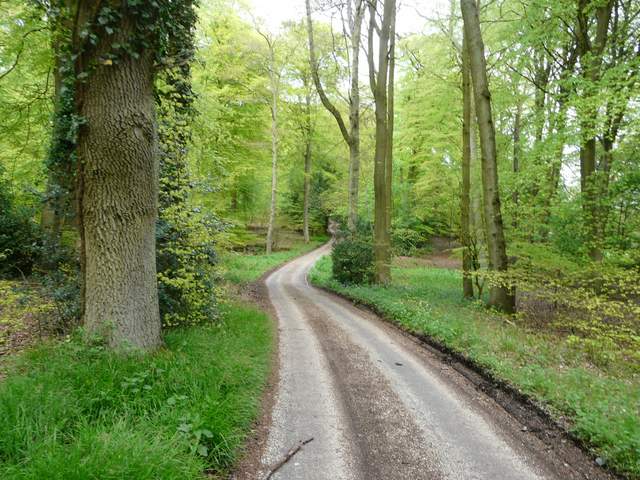
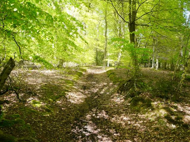
The path going north from Merrimoles, through Highmoor Common Wood
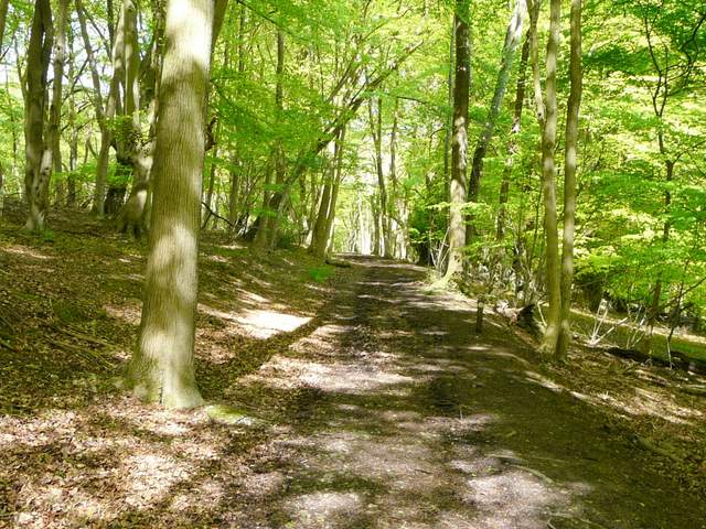
The path through Lowercommon Wood
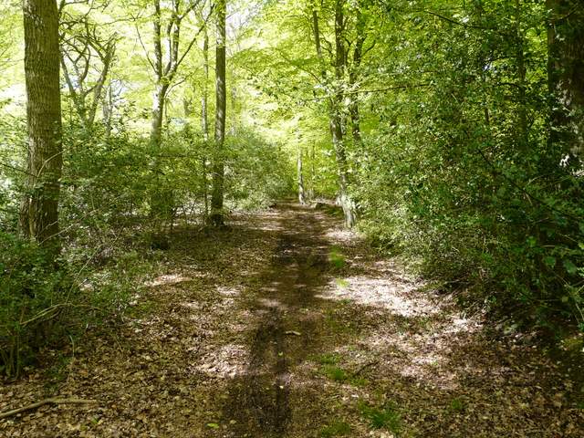
The path through Lowercommon Wood
Across the road I continued down a lane that soon took me through Catslip, and then after another quarter of a mile I reached Crocker End. Here I kept left at a junction and followed the lane to the lengthy village green. A footpath then continued northwards, crossing a large cattle pasture dotted with mature and rather unusual trees, obviously part of the park land of a nearby grand house. I then turned right along a lane, and at its end continued straight on along a track with a wood on my left.
The start of the lane to Catslip and Crocker End
Crocker End
The path north from Crocker End
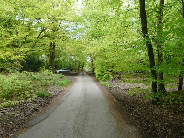
Nar the start of the track going northeast to the Warburg Nature Reserve
The track was soon steadily dropping downhill into the woods of the Warburg Nature Reserve. At a valley bottom I crossed another track (the OS map shows this as keeping left at a fork) and went up an easy slope on the other side of this little valley. At a path junction I stayed on the track as it curved left and dropped down into another small valley. Here I crossed another track, and began the long steady climb up the much higher opposite slope. This was slightly hard work, but at least I knew this track led me right back to the corner of Maidensgrove Common where I'd parked this morning.
Track in the Warburg Nature Reserve
Track in the Warburg Nature Reserve
Start of the public byway going uphill from the Warburg Nature Reserve to Maidensgrove Common
The public byway going uphill from the Warburg Nature Reserve to Maidensgrove Common
This was a beautiful day for a walk, which came as a relief after the weeks of wet weather we've been having (it was the wettest April for over a hundred years). It was also good to see so many wildflowers and a few butterflies. I enjoyed revisiting the section of the Chiltern Way around Greys Court, and liked the new paths I found that took me to Rotherfield Peppard. I wasn't so keen on the area around Highmoor, for some reason. It seemed a bit scrappy and not particularly attractive. So if I do this route again I'll possibly try the alternative I've marked on the Google Map - a quick glance on the map just now doesn't show anything very promising if I go a little further west of Highmoor, unless I repeat more paths I already know.
To see this route walked in the opposite direction in March 2016, click here.