Pete's Walks- Maidensgrove and Rotherfield Peppard (page 1 of 6)
If you are considering walking this route yourself, please see my disclaimer. You may also like to see these notes about the maps and GPX files.
Google map of the walkDownload GPX file of the walk
I did this circular walk of about 14 miles on Sunday, March 13th, 2016. It was a repeat of a walk I did in May 2012, but this time in the opposite (anti-clockwise) direction. That walk has stayed in my memory for some reason, and I was surprised when I worked out that it was almost four years ago when I walked it. About a third of that walk was on paths I'd not used before, and as I haven't walked any of them since, this would be the first time I've walked (and photographed) them in this direction.
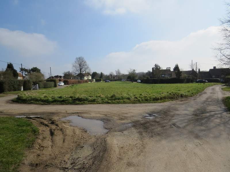
It was quite foggy at home when I got up, so I deliberately left home later than I would normally have done. There were still patches of fog or mist on the hilltops as I drove along the foot of the Chiltern escarpment, but by the time I reached Maidensgrove it had all cleared. I parked on the lane that crosses Maidensgrove Common (grid reference SU 717886), just outside Maidensgrove itself and started walking about 11am. I followed the lane away from Maidensgrove to where it turned right along the edge of the common (towards Russell's Water), then took a public byway going straight on. As I followed this hedge-lined track, I soon saw a couple of Buzzards over the field on my right. Further on, the track started to pass through the wooded Warburg nature reserve and started to descend quite steeply into a valley.
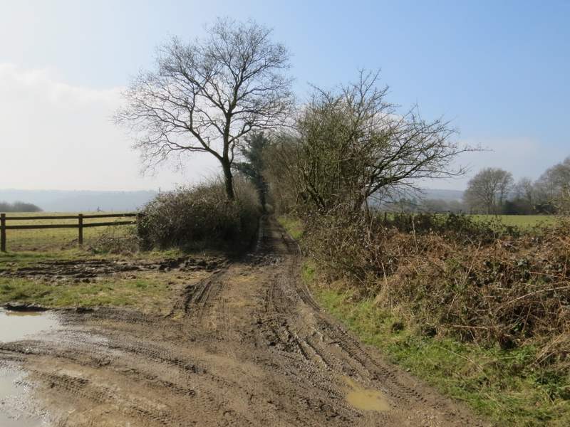
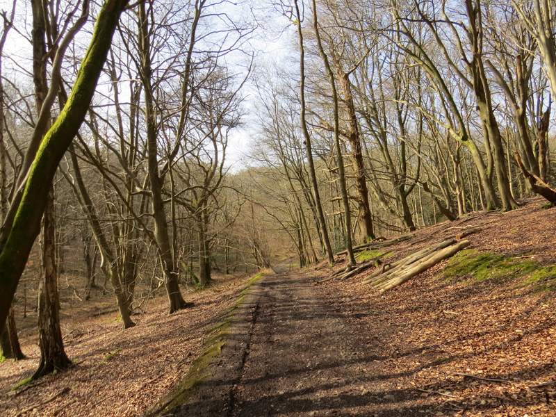
The start of the public byway from Maidensgrove Common down to the Warburg nature reserve
The public byway from Maidensgrove Common down to the Warburg nature reserve
The public byway continuing downhill through the Warburg nature reserve
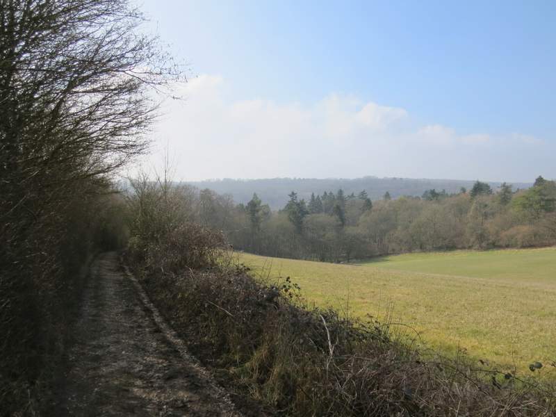
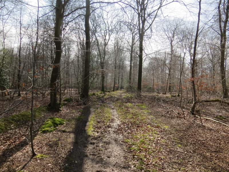
In the valley bottom I went straight on at a crossroads of byways, the one I was on soon bearing left and going a short way uphill before turning right and levelling out - as I was walking along here I was thinking that I'd be back at this nature reserve in two or three months time to look for the different orchids that grow here. The byway son dropped slightly to another valley bottom and another crossing of byways. Again I went straight on, the byway climbing more steeply than I remembered because I was surprised to find myself puffing and panting (or maybe I'm just hopelessly unfit). After the byway levelled out there were soon fields on my left with the woods still on my right.
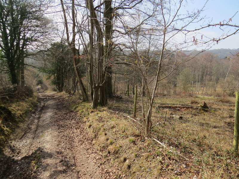
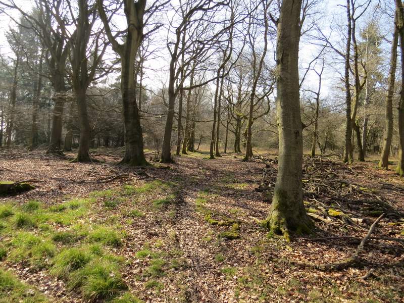
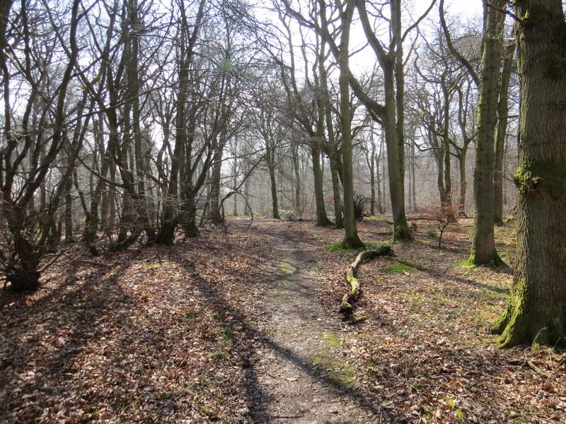
The public byway continuing uphill through the Warburg nature reserve
The public byway through the Warburg nature reserve
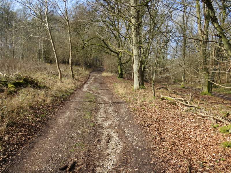
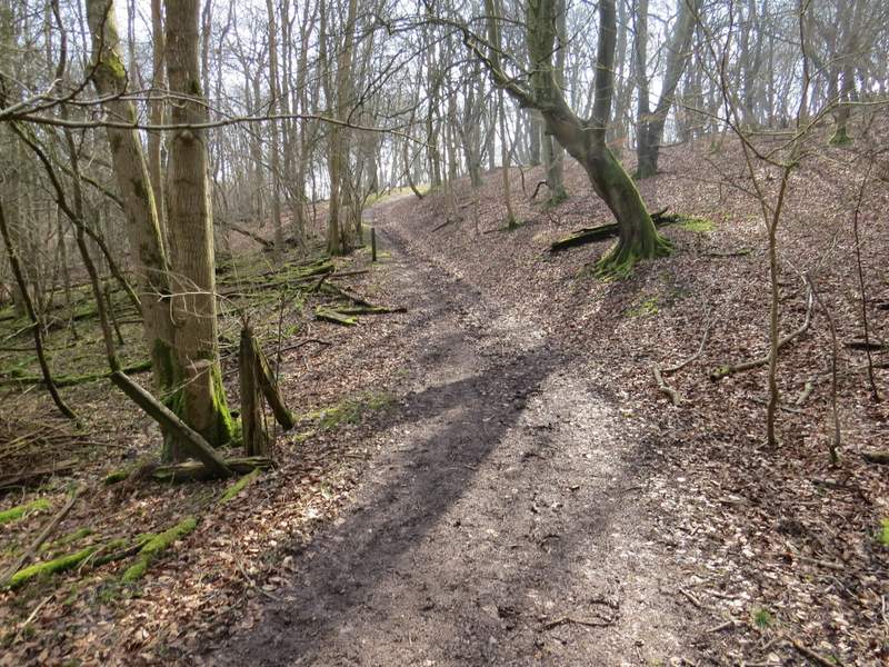
The public byway going uphill again through the Warburg nature reserve
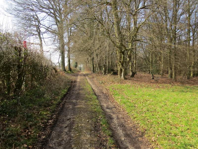
Further along the public byway
Further along the public byway
Eventually the byway became a surfaced track, near Soundess Farm (the name Soundess ALWAYS makes me think of Graeme Souness, the great Liverpool player). A short distance further on I took a footpath going half-left across what was obviously the park land around the nearby Soundess House. This path led me to Crocker End, where I went slightly left along a lane across the green. I went right at a lane junction, and followed the lane from Crocker End about a quarter of a mile to Catslip.

The footpath to Crocker End
Crocker End (I continued along the lane on the right)
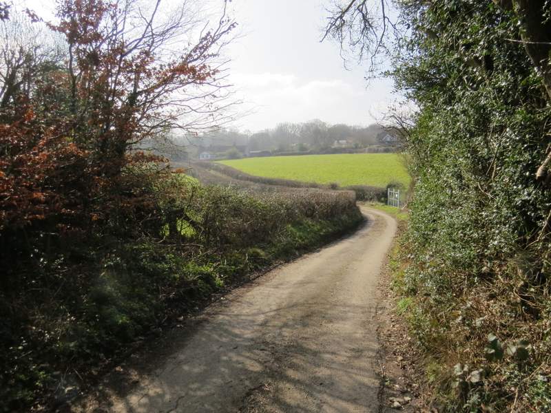
The lane from Crocker End to Catslip
At the end of the lane I crossed the A4130 and continued along a bridleway through Lowercommon Wood. After a while this turned right, then turned left for a short way before turning right again. At some point the wood became Oxlands Wood. I went straight on over a byway, and was soon in Highmoor Common Wood. I went straight on when I reached a corner of a surfaced drive, and soon passed a large house on my left named Merrimoles on the OS map.
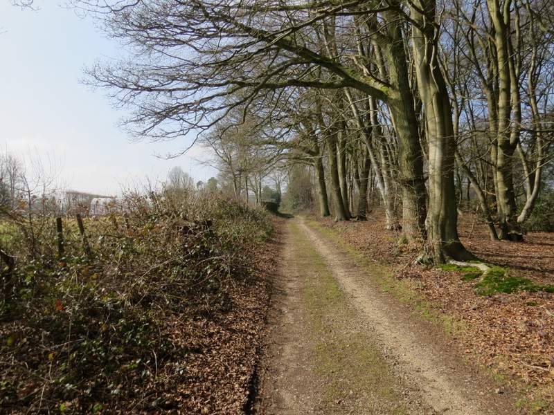
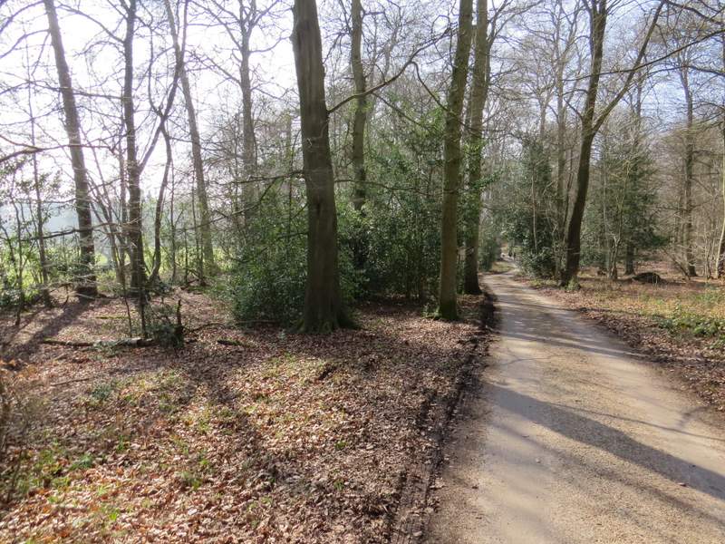
The bridleway through Lowercommon Wood
The bridleway through Lowercommon Wood
The bridleway through Highmoor Common Wood
The drive from Merrimoles