Pete's Walks- Maidensgrove and Rotherfield Peppard (page 2 of 6)
If you are considering walking this route yourself, please see my disclaimer. You may also like to see these notes about the maps and GPX files.
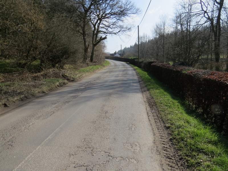
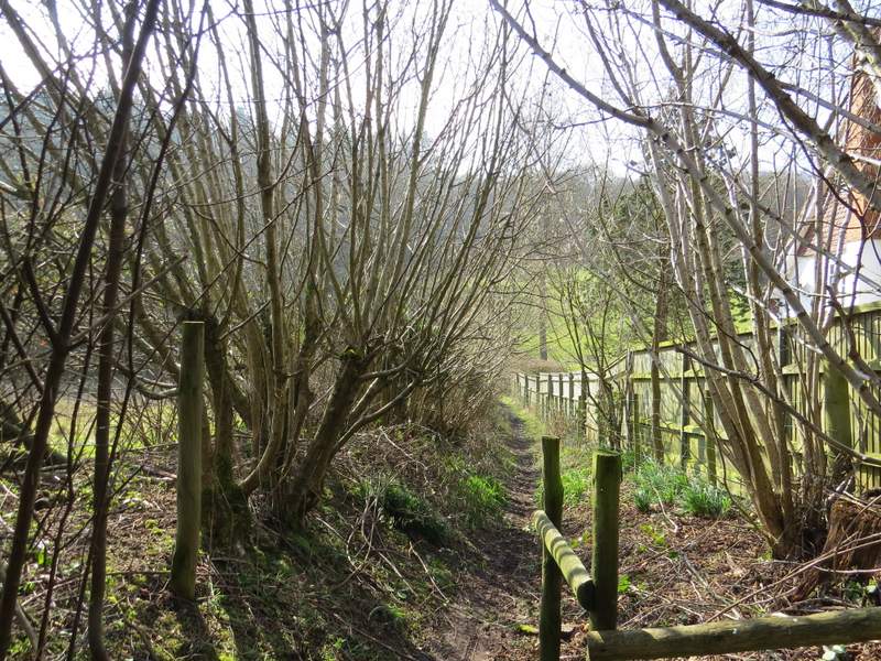
When I reached a path junction near some houses at Lower Highmoor, I continued straight on along the drive - so far the route had been very familiar to me (though I usually walk it in the other direction for some reason) but now I was starting the third of the route that I'd only done in the opposite direction once before (when I did this walk the other way round in May 2012). As I followed the drive to its end on a road in Highmoor I spotted some Lesser Celandine, the first I'd seen this year in the Chilterns (they appear two or three weeks earlier where I work in Huntingdon), a real sign that Spring has arrived. I went a few yards right along the road and took a footpath on the other side. This started down a drive, then bore right between fences to enter a small area of woodland. I soon came to a path cross roads where I turned left, with a fence then the wall of a barn or outbuilding on my right.
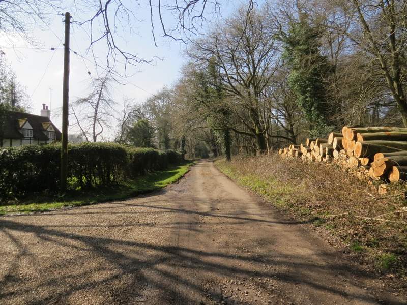
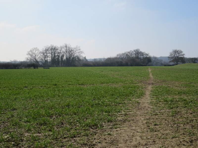
The drive from Merrimoles, heading to Highmoor
The path from the road at Highmoor
The path near Highmoor after I turned left
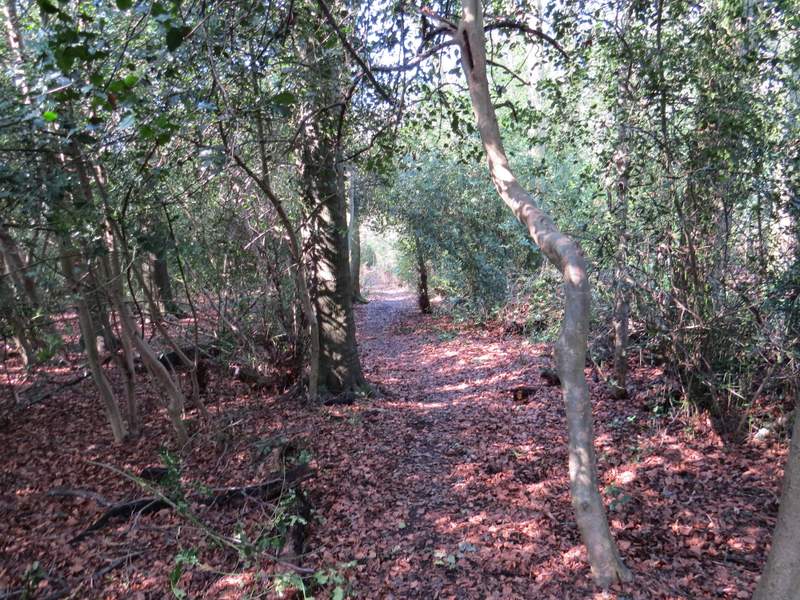
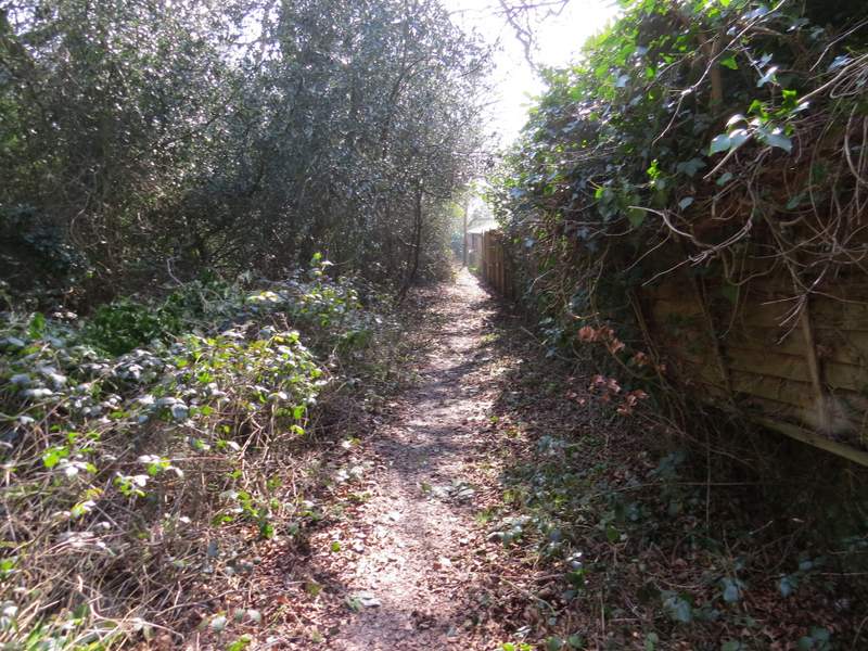
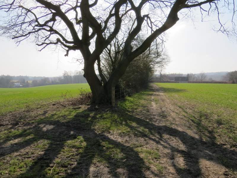
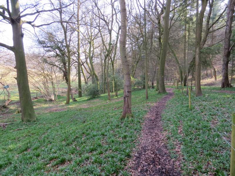
The path soon turned right along a gravel drive between the hedges and gates of some properties at Highmoor Farm. A sign or waymark then indicated where the path continued, running between fences along the edge of a large paddock on my left. The path then went on across an arable field, before going through two gates either side of a track and following the left-hand hedge of another arable field (this had been a cattle pasture when I came the other way in 2012 and I'd had to brave the cows crowded into the corner by the gate). The path took me to some properties at Witheridge Hill, where I went a few yards left before taking a path on what was now my right. This followed a garden fence on my left and soon brought me to a lane. Across this I entered a wooded "open access" area. The OS map shows a path (not a public footpath) here but I saw no sign of it - that didn't matter though, as it was easy enough to make my way through the trees, heading quite steeply downhill to a road.
The path from near Highmoor Farm
The path from near Highmoor Farm
The path from near Highmoor Farm
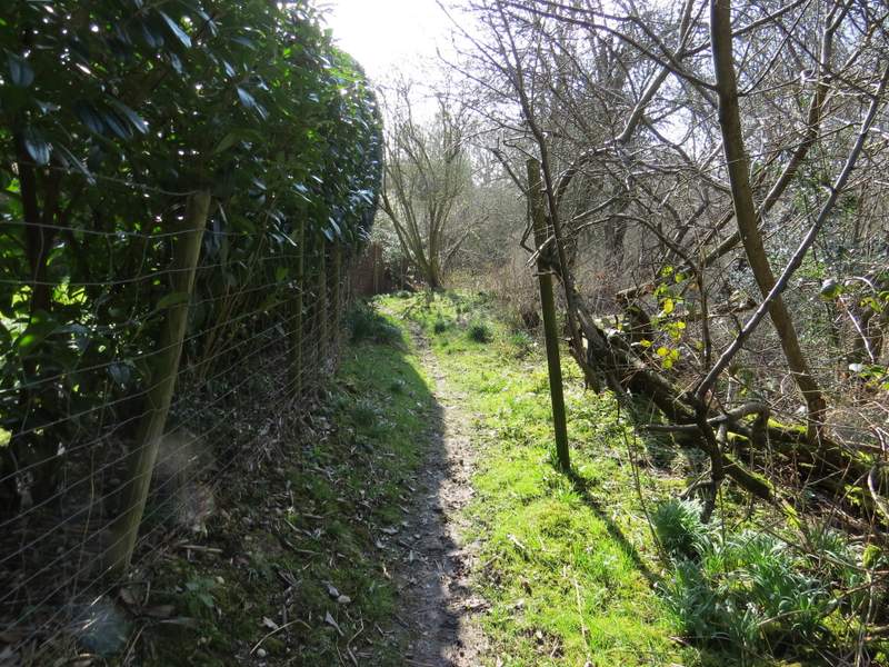
The path past the garden at Witheridge Hill
The "open access" area at Witheridge Hill
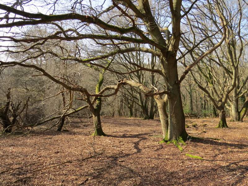
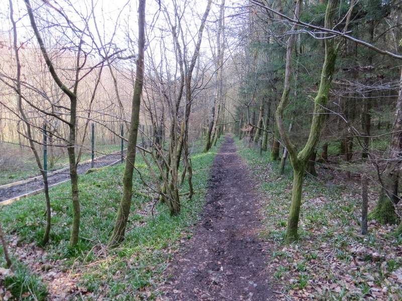
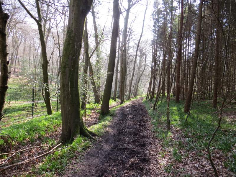
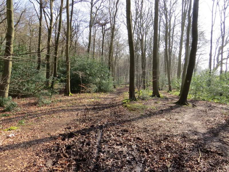
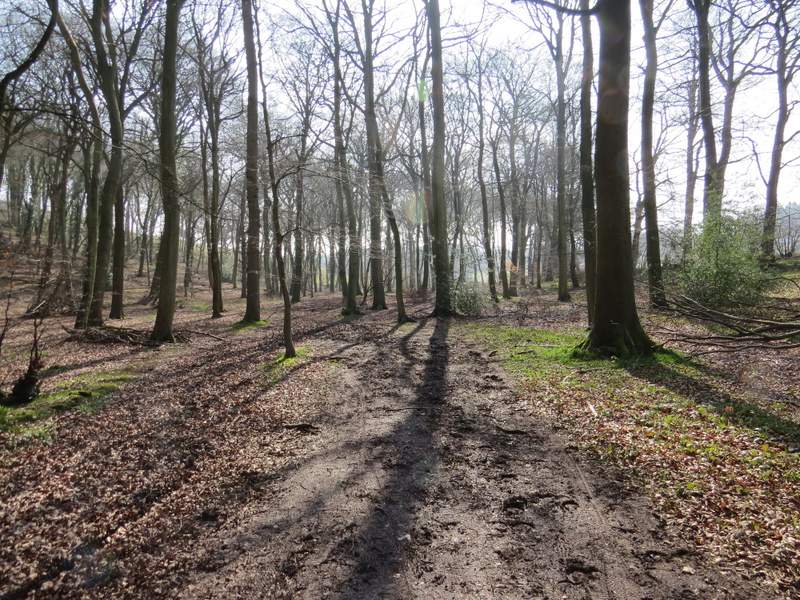
I turned left along the road (going right would have taken me into Stoke Row, from where I have occasionally started walks). When the road curved sharply left, I turned right onto a footpath. This soon turned left, and followed a valley bottom through Greyhone Wood. There was now a nice section of over a mile through Greyhone, Oveys and Greatbottom Woods, though the path along the valley bottom was pretty muddy in places. I remembered that there was a short section in Oveys Wood that I'd walked a few times before on walks from Stoke Row, but I didn't really recognise it.
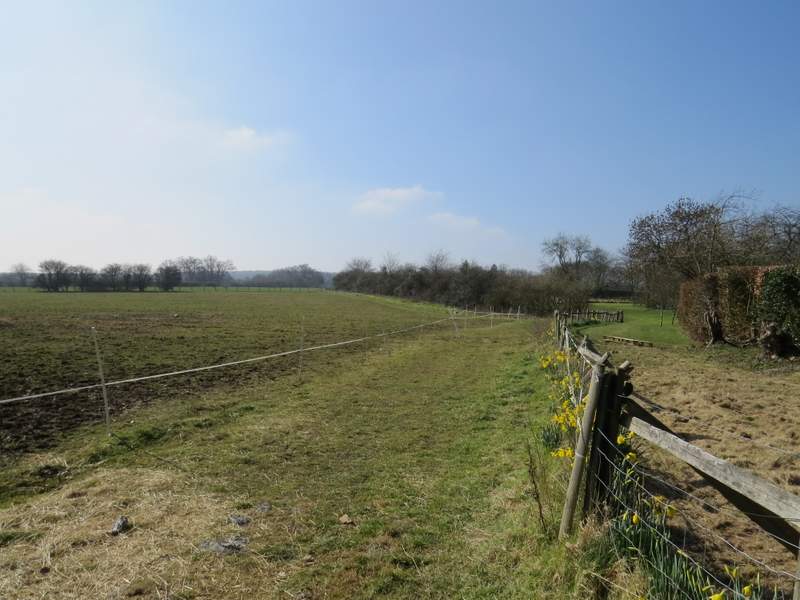
The road near Witheridge Hill
The start of the path going right from the road
The path continuing through Greyhone Wood
The path continuing through Greyhone Wood
The bridleway through Oveys Wood
The bridleway through Greatbottom Wood
The bridleway through Greatbottom Wood