Pete's Walks - Pitstone Hill and Wigginton (page 1 of 4)
If you are considering walking this route yourself, please see my disclaimer. You may also like to see these notes about the maps and GPX files.
Google map of the walkDownload GPX file of the walk
I did this 11.6 mile circular walk on Sunday, 29th July, 2012. It was the reverse of Walk 4 of my Chiltern Chain Walk, this time I was walking in the clockwise direction.
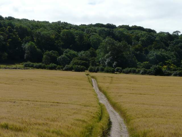
I parked in the car park for Pitstone Hill (Grid reference SP 954148), and started walking about 10.05am. I crossed the lane from car park and followed a section of the Ridgeway National Trail north towards Steps Hill. There was a large corn field beyond the hedge on my right, while I was walking through a huge open area of grass speckled with wildflowers. A sign warned that cattle were grazing this land, and I came across them as I reached a path crossroads at the foot of Steps Hill - they were Belted Galloways, which seem to be the breed most conservation bodies use nowadays for habitat management. I turned right at this crossroads (leaving the Ridgeway), and headed gradually uphill towards a narrow section of the woods of Ashridge. Beyond a fence on my right the path curved left and steepened slightly - there were still some Pyramidal Orchids in the long grass on my right here. The path went up into the woods, crossing a stile and then soon reaching the lengthy surfaced track that runs from near Ivinghoe Beacon to the Bridgewater Monument in Ashridge. I turned right and followed followed this track for about a quarter of a mile.
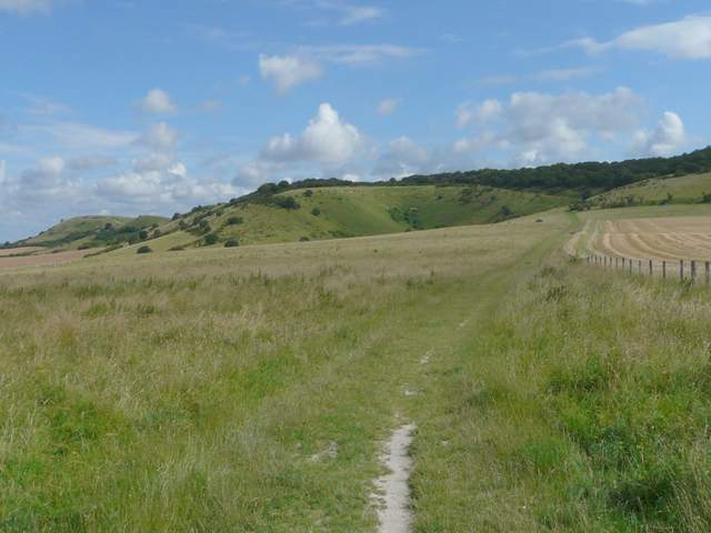
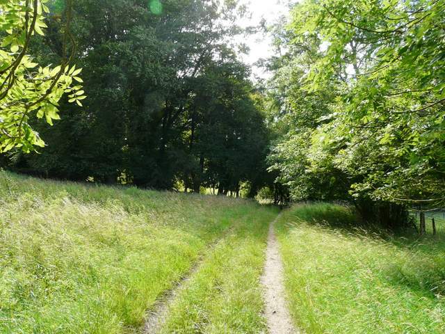
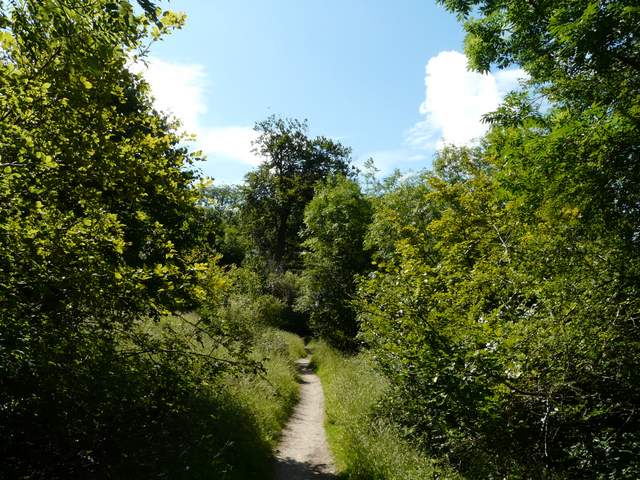
The Ridgeway, heading from the Pitstone Hill car park, towards Steps Hill. Ivinghoe Beacon is far left.
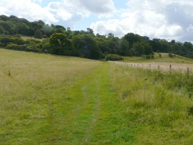
The path going right from The Ridgeway towards Ashridge
The path continuing towards Ashridge
The main track from Ivinghoe Beacon to Ashridge
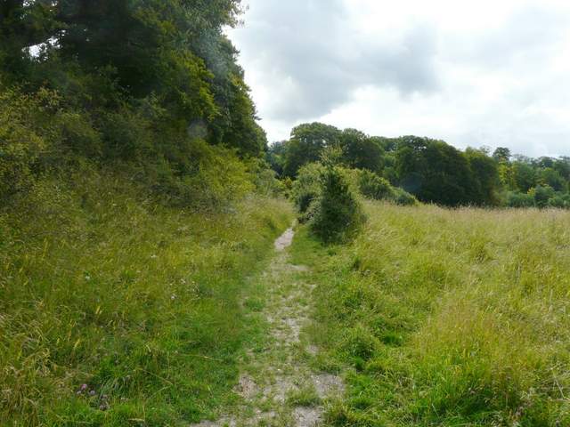
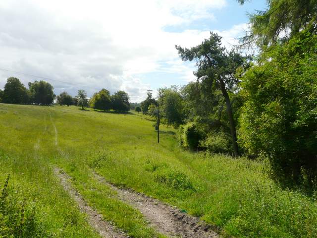
Just before the track passed a boarding kennel, another footpath forked right, heading back down the slope at an easy angle. It soon went over a stile and continued with trees on the right, before entering a large open meadow on the slopes of Clipper Down, again dotted with colourful wildflowers, including Harebells and Clustered Bellflower. Near the foot of the slope the path curved left, then in a corner I went over a stile and followed a short track to reach a private road.
Start of the path from the kennels on Clipper Down
The path continuing down Clipper Down (it follows the edge of this pasture, by the trees on the right)
The path continuing down Clipper Down
Near the end of the path, approaching the private road
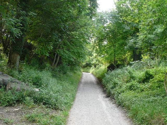
I turned left along the road for a couple of hundred yards (I'd sometimes wondered if I'd been trespassing here, but in fact a sign indicated this was a right of way, I'd have been trespassing if I'd turned right and headed for the nearby lane). At a path crossing (where the right of way along the private road definitely ends), I turned half-right on a path through a corn field. Beyond this field the path turned half-right again to cross a smaller corn field. I then turned left on a bridleway which soon started climbing the wooded slope of another part of the huge Ashridge estate. This was a steady plod uphill, but not too steep or too long. At a fork, I stayed on the bridleway which went right, now traversing the slope just a short distance below the Bridgewater Monument and the National Trust's tea-shop. There was initially a cottage garden on my right, but across a drive I was back into the woods, the path still staying pretty level.
The path from the private road
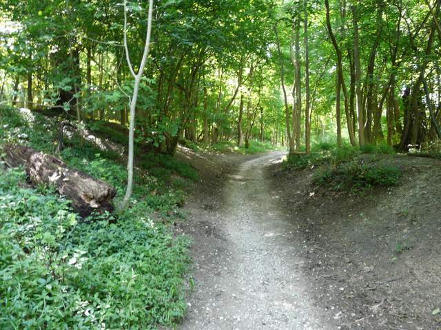
The bridleway up into Ashridge again
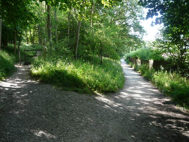
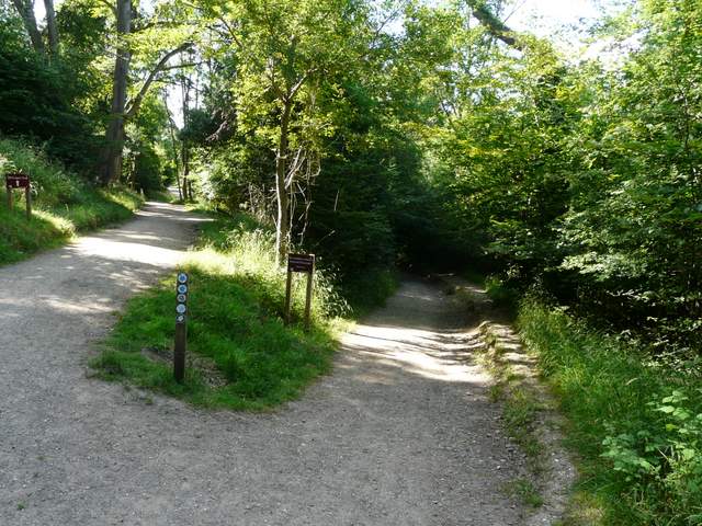
The fork, where I took the bridleway on the right (the path on the left leads almost directly to the Bridgewater Monument)
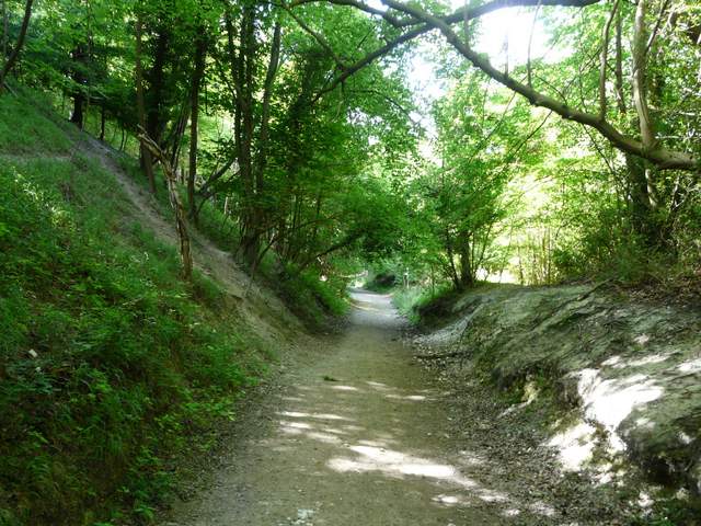
The bridleway skirting below the Bridgewater Monument
The bridleway skirting below the Bridgewater Monument
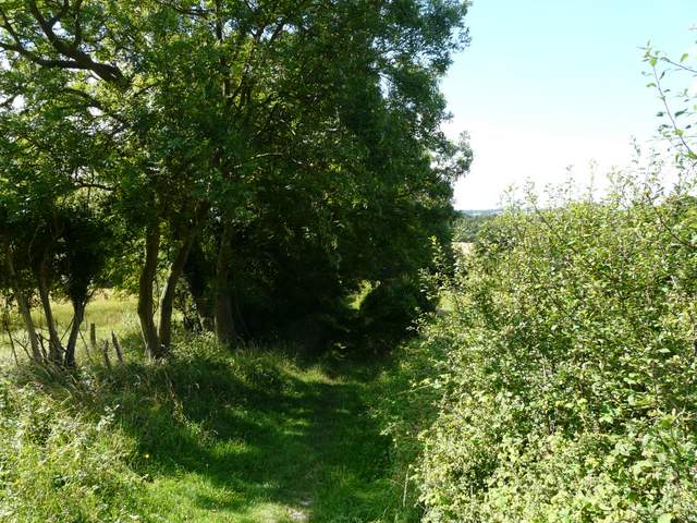
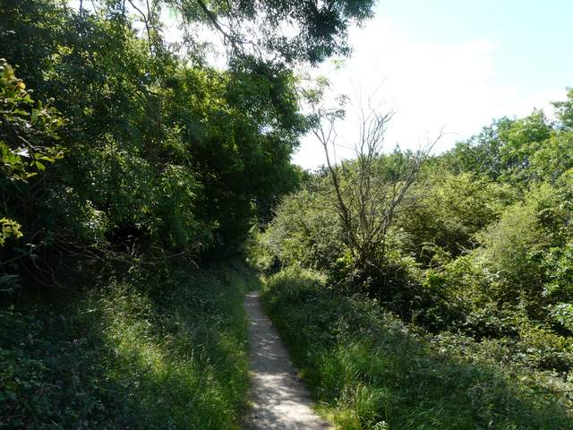
After a few hundred yards I came to a T-junction with another bridleway, coming from the monument away up to my left. I turned right along it, keeping right at a fork after a couple of hundred yards. The bridleway now steepened as it dropped down through the woods towards the village of Aldbury. I was distracted at one point by two large orange butterflies flying around, but I didn't get a close enough look to see if they were Commas or Silver-washed Fritillaries (I've yet to definitely see one of the latter this year). The bridleway ended on Tom's Hill Road in Aldbury. I turned right, and was almost flattened by a swarm of speeding cyclists coming round the next junction (which reminds me to wish belated congratulations to Bradley Wiggins on winning the Tour De France!). Somewhat distracted, I consequently forgot to take my usual photo of the stocks and pond in this tourist honeypot village. I turned left, walking away from the pond and village green.
Aldbury is an understandably popular village, with its charming old cottages, village pond and combined whipping post and stocks, all set against the backdrop of the steep wooded slopes of Ashridge. The village is frequently used as a setting for TV and films (several episodes of The Avengers were filmed here, and so too was part of the second Bridget Jones film). The village church, restored in 1867, contains a memorial to Sir Robert Whittingham, slain at the Battle of Tewkesbury in 1471 (a major battle in the Wars of the Roses).
The bridleway fork - again I went right, down to Aldbury
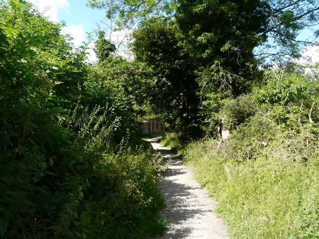
The bridleway down to Aldbury
The bridleway approaching Aldbury
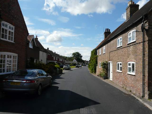
Aldbury