Pete's Walks - Pitstone Hill and Wigginton (page 2 of 4)
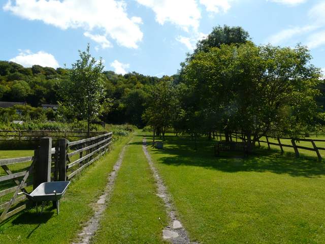
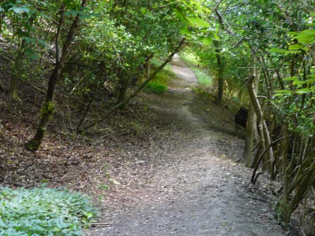
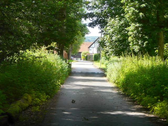
After a few hundred yards I turned left along a track (a footpath sign was on the wall of a house that was gable-end on to the road) which soon took me through the village allotments (with a children's play area in the centre). I went through a tall gate on the far side and turned right, following a narrow pathway between garden boundaries to reach a street. A short distance to the left, two paths went off from the end of the street, the one I took being the one going half-right. This went steadily uphill, once more in part of the vast woods of Ashridge, to reach a hairpin bend in Tom's Hill Road. Here I took a lane going right, through the woods, which in a quarter mile or so brought me to the hamlet of Tom's Hill.
The path through the allotments, Aldbury
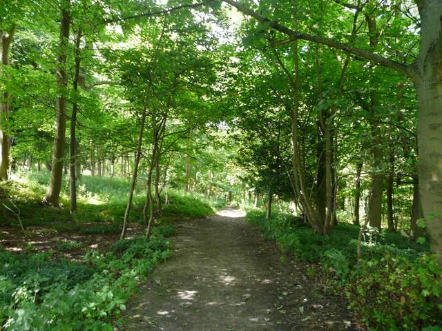
The path up to Tom's Hill
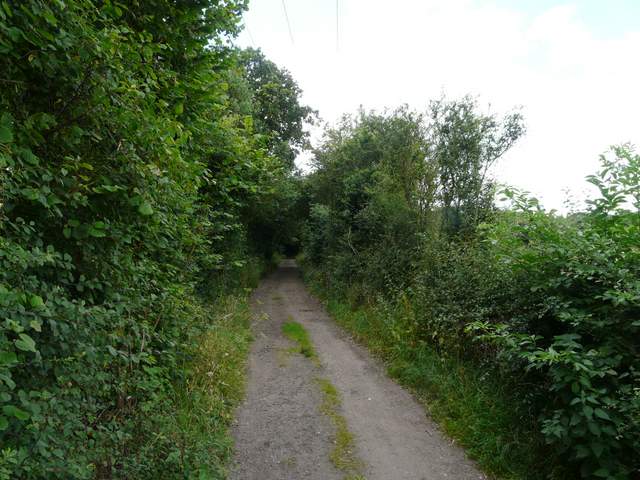
The lane into Tom's Hill
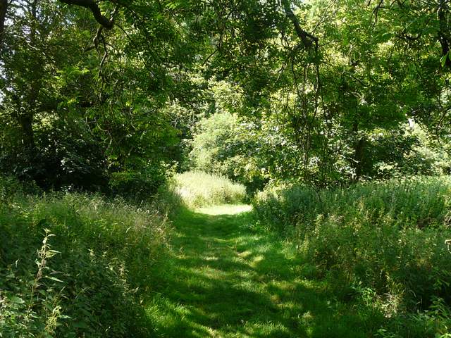
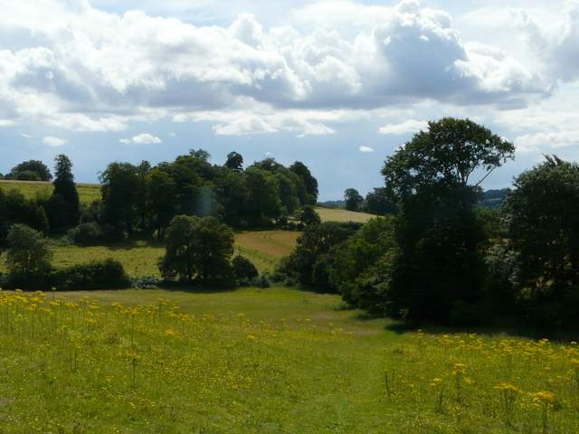
I passed a small industrial site on my left, beyond which a track led on into more woods. I was soon dropping downhill through the trees, the third descent already this morning. Another tall gate, in a deer fence, led out of the wood, where I turned left to reach a stile in the corner of an empty pasture. Over this, the path went across a beautiful sloping meadow, yellow with a variety of wildflowers. Beyond this, the path followed the edge of a corn field - I'd just been thinking I'd not seen any raptors so far, when I spotted a Red Kite a short distance in front of me at tree-top height. The path then went diagonally across a freshly cut hay meadow towards Norcott Court Farm, with nice views over the Tring Gap (a broad valley, one of the few breaks in the Chiltern escarpment, which is consequently used by the road, rail and canal networks)
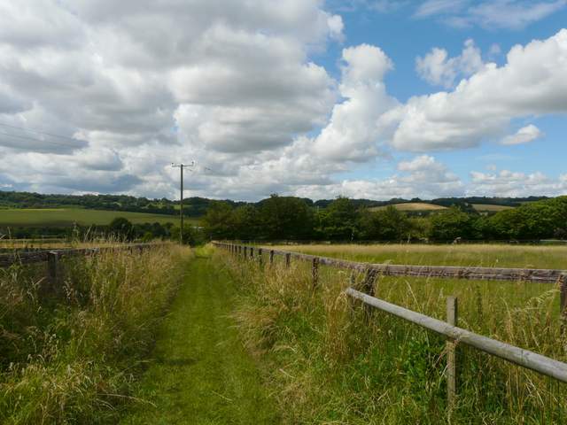
The path from Tom's Hill
The path from Tom's Hill
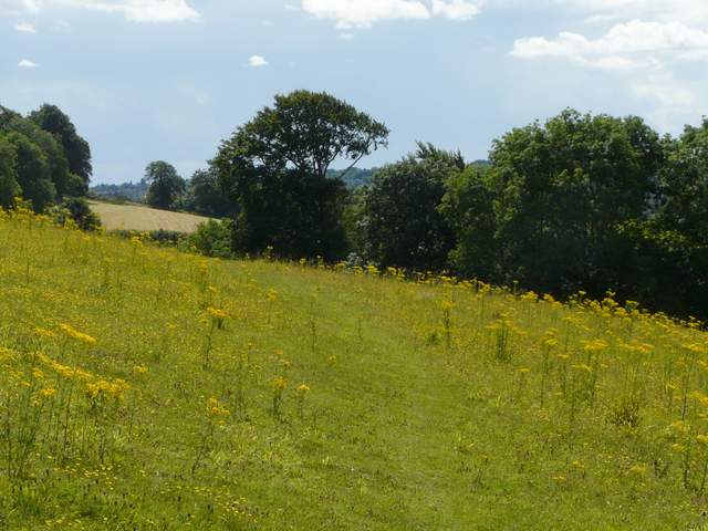
Colourful meadow on the path to Norcott Court Farm
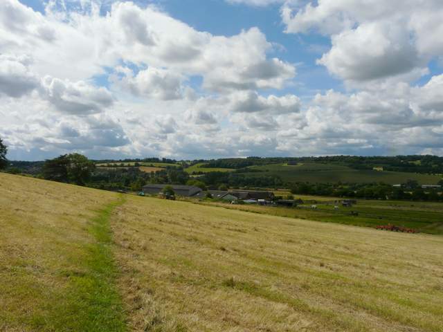
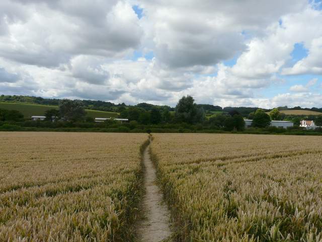
The path to Norcott Court Farm
Meadow just before Norcott Court Farm
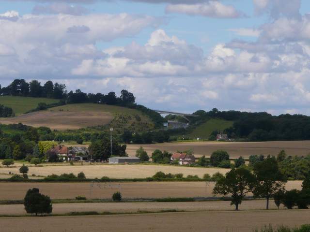
Close-up shot looking towards the Ridgeway path's bridge over the A41
The path passed to the left of the farmyard, turning left along a drive then turning right within a few yards. It continued between paddock fences, before I turned right between a hedge and a fence on my right - as usual I could see a number of alpacas in the enclosures nearby. I then turned left at a path junction, crossing a corn field to a footbridge over a main railway line. Beyond the subsequent corn field I reached a lane, which I followed right, soon crossing the Grand Union Canal by a lock to reach the small settlement of Cow Roast.
The name Cow Roast is thought to be a corruption of ‘Cow Rest’, as in the 1770’s the inn here was a stopping point for cattle drovers from the Midlands on their way to Smithfields Market in London. The inn is on the site of a Roman settlement, and in a later period of history it supplied horses for pulling the barges on the adjacent Grand Union Canal.
Path by Norcott Court Farm - I turned right by the hedgerow
The footpath just after crossing the railway line
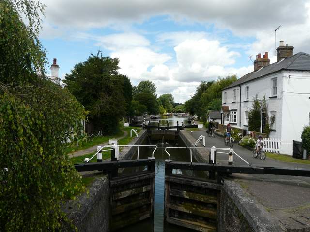
Lock on the Grand Union Canal at Cow Roast
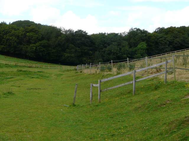
I crossed over a road (the old A41 before the dual carriageway was built) and went down a track to the right of the Cow Roast Inn. This passed between some sports fields, and I saw some dog obedience classes taking part over to my left (the classes must be popular, this is at least the fourth time I've seen them as I've walked past here). After a few hundred yards, the track ended along the drive of a cottage, and I turned left along a lane. This immediately went under the A41 dual carriageway, then I turned right along another track, initially hard-surfaced. Shortly after the track became enclosed by hedges, the footpath went half-left across a corner of a corn field. It then followed the bottom of a valley as it passed along the edge of a large horse paddock, beyond which I entered Lower Wood.
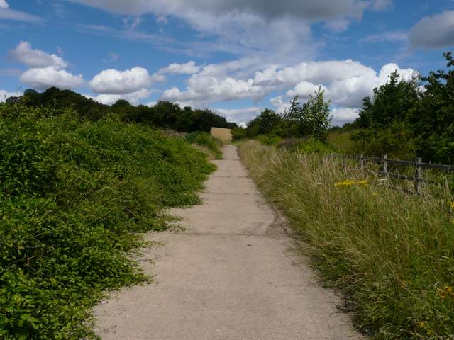
The track from Cow Roast
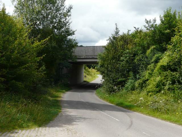
The bridge where I went under the A41 dual cariageway
Track next to the A41
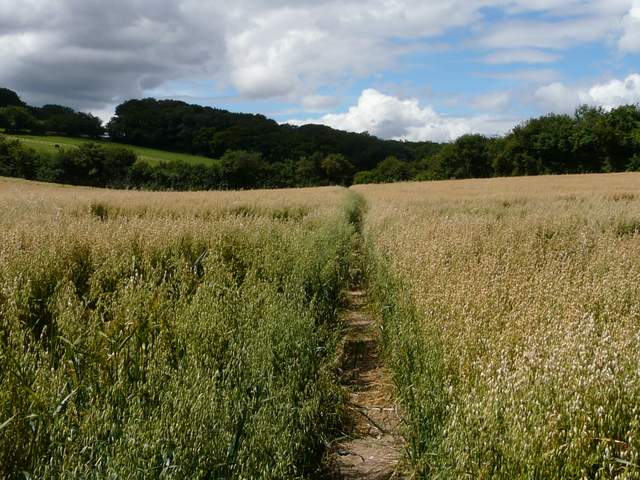
Path through a field of oats on the way to Wigginton
Paddocks on the path to Wigginton, approaching Lower Wood