Pete's Walks - Kensworth and Ivinghoe (page 3 of 5)
Across the road the bridleway continued, initially along a tarmac drive and then between hedgerows. After some while I passed through a small copse of beech trees, before the hedges began again on either side. Eventually I had a golf course behind the hedge on my right, and a little further on the bridleway ended at the end of a short street in Ivinghoe, with the entrance to the golf club on the right. At the end of the street I turned left to reach a road junction near the centre of the village, opposite the church.
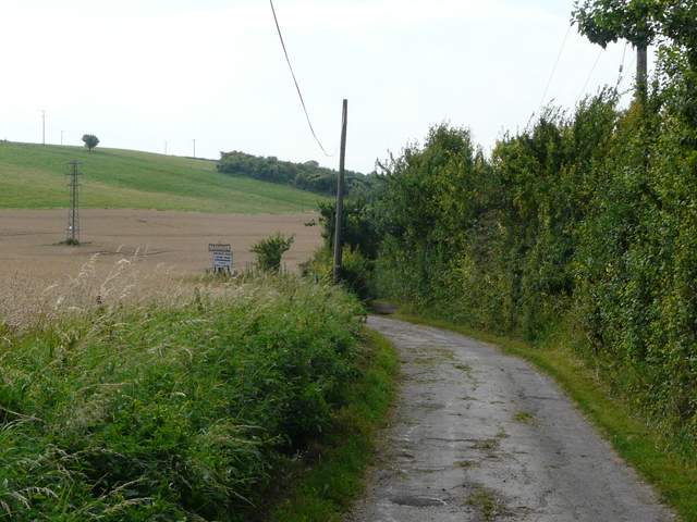
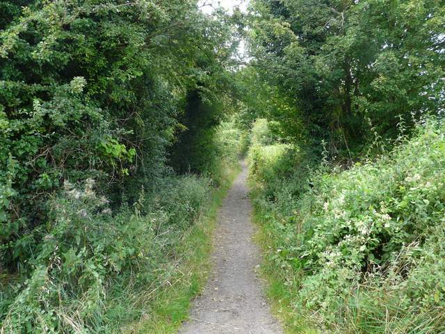
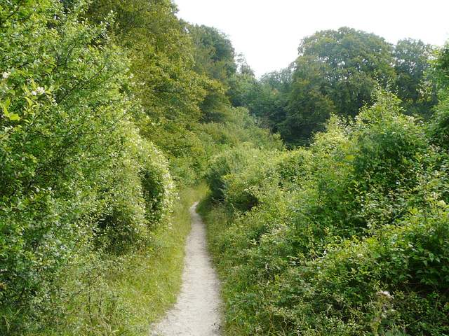
The start of the bridleway from Ivinghoe Aston to Ivinghoe
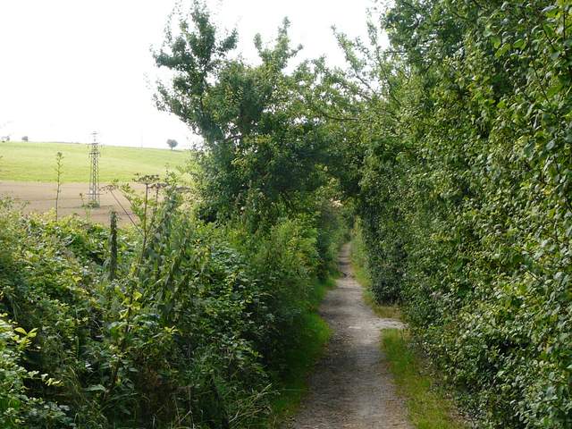
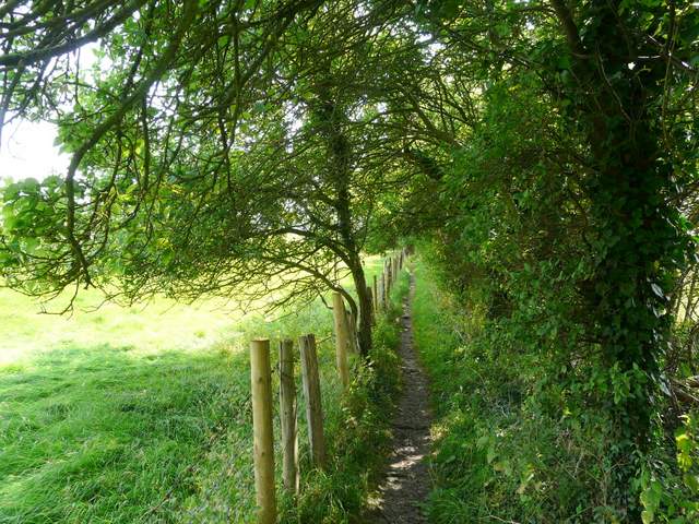
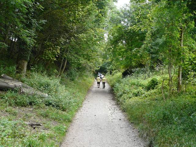
The bridleway from Ivinghoe Aston to Ivinghoe
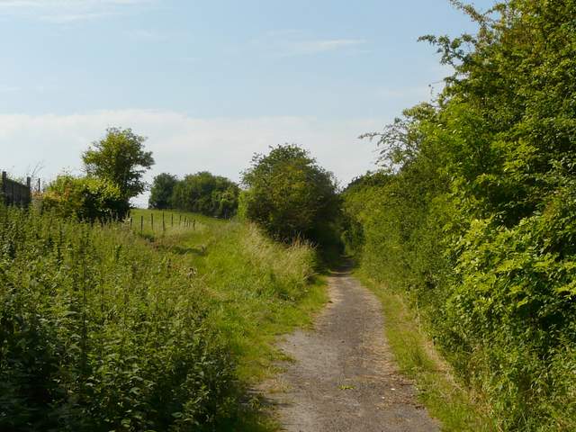
The bridleway from Ivinghoe Aston to Ivinghoe
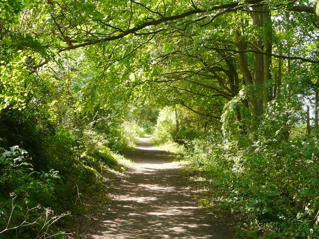
The bridleway from Ivinghoe Aston to Ivinghoe
The bridleway from Ivinghoe Aston to Ivinghoe
I turned left again, passing the church on my right, and followed the road out of Ivinghoe. I carefully crossed over a road coming in from the left (the very familiar road past Ivinghoe Beacon, which I use on so many of the car journeys to and from my walks) and a few yards further on took a path that forked half-left between fences. The path was very gently rising uphill, continuing to do so as it then ran alongside a tall hedge on the left, through a very large and empty sheep pasture. When the hedge turned left I carried on across the pasture, now with good views of Ivinghoe Beacon over to my left. On reaching the far side of the pasture, I stopped and sat on a concrete block to eat my lunch (it was now about 12:40).
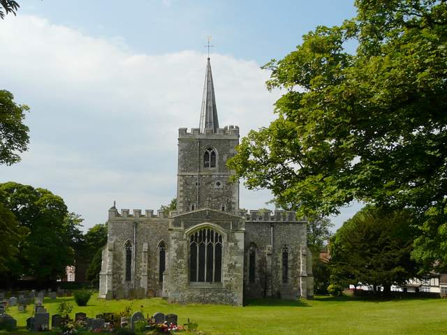
Ivinghoe church
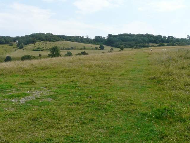
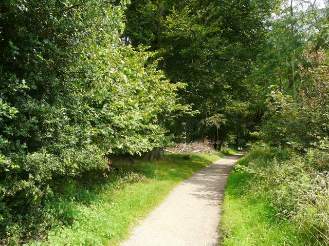
Start of the path from Ivinghoe
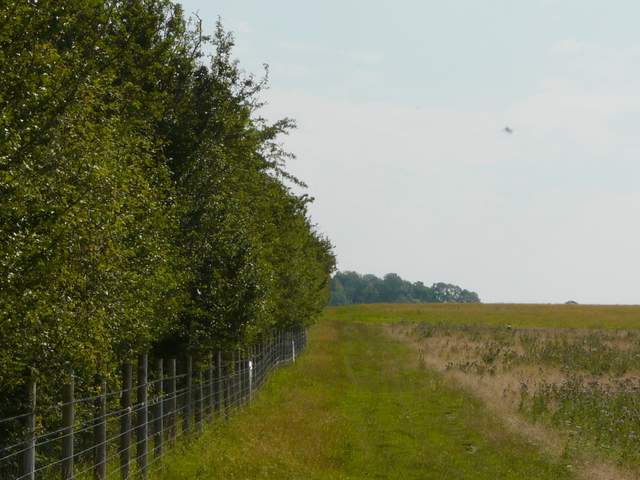
The path from Ivinghoe
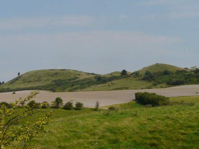
Ivinghoe Beacon and its two subsidiary 'humps'
Through a gate, the path continued through another huge and irregular pasture (there were a few sheep here, last time there were a few Belted Galloway cattle too) still gently gaining height. I had a good view of Steps Hill and the deep valley of Incombe Hole over to my left. Soon I crossed the Ridgeway National Trail (coming down from Steps Hill and heading to Pitstone Hill over to my right). My path carried straight on, heading to a narrow section of the wooded slopes of Ashridge. The last few yards up through the woods were the steepest part of the 1.25 mile uphill section from Ivinghoe.
The path approaching the crossing of the Ridgeway National Trail below Steps Hill
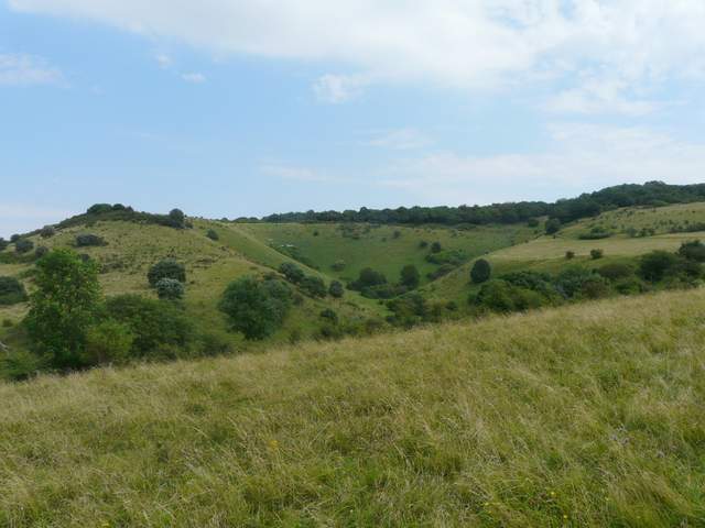
Steps Hill, left, and Incombe Hole
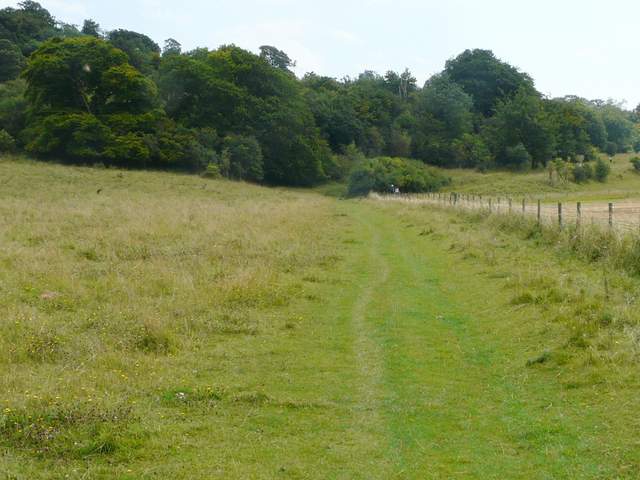
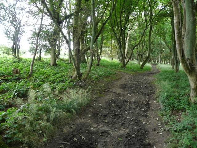
The path continuing beyond the Ridgeway
The path continuing up to Ashridge
The path ended on the surfaced track that runs from near Ivinghoe Beacon to the Bridgewater Monument in Ashridge. I turned right along it, still going uphill for a bit longer until I reached the kennels on Clipper Down. I carried on along the now level track, with a narrow bit of wood separating me from a road on the left, and fields beyond a hedge on my right. There were soon woods on either side, and at a path crossroads I turned left, following the path to reach the road opposite the drive to Ward's Hurst Farm.
The track from Ivinghoe Beacon to the Bridgewater memorial, Ashridge
The track from Ivinghoe Beacon to the Bridgewater memorial, Ashridge
The path through the woods of Ashridge, just before reaching the Ivinghoe Beacon to Ringshall road (I turned left at the junction ahead)