Pete's Walks - Kensworth and Ivinghoe (page 4 of 5)
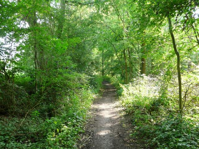
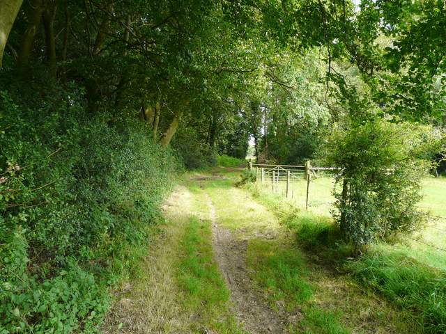
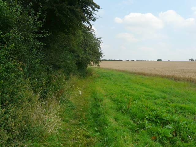
I followed the drive to Ward's Hurst Farm, and took the recently diverted path through the farm yard - six paths converge on this farm, today I was going straight on. I always enjoy the next section, following a fence on my left and then an embankment with a belt of beech trees on it, through some sheep pastures, all the time descending easily with views ahead over the start of what becomes the Gade Valley, with the Whipsnade and Dunstable Downs initially visible further left. Beyond the pastures I followed a hedge on the left round the edge of a corn field to reach the drive to Hog Hall, where I turned right and continued steadily downhill.
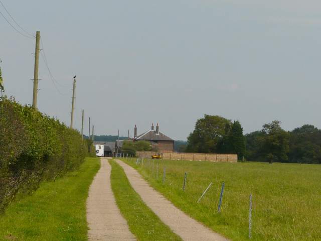
The drive to Ward's Hurst Farm
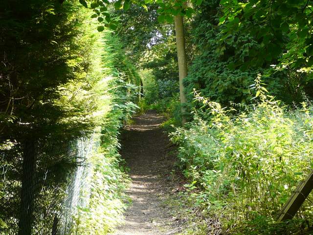
The start of the path from Ward's Hurst Farm to Hog Hall
The path from Ward's Hurst Farm to Hog Hall
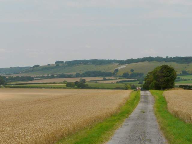
The drive from Hog Hall, looking towards the Whipsnade Downs (the White Lion chalk carving is at Whipsnade zoo)
At the end of the very long drive, I turned right along a road and immediately entered the village of Dagnall. I went straight on at a roundabout, then turned left onto a footpath immediately after the village school. The path ran between hedges and fences to a lane, where I turned right for a short distance before taking another footpath on the left. This started through part of a garden, then ran between a fence and some woodland on my right - to my left I could see across an enclosure to the tall boundary fence of Whipsnade Zoo. The path climbed quite steeply up the hillside, but not for very long. I passed the hedges of a property on my left, then at the top of a hill reached a kissing-gate giving access to Whipsnade Park golf club.
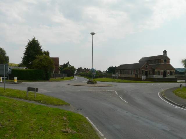
Dagnall
The path from Dagnall School
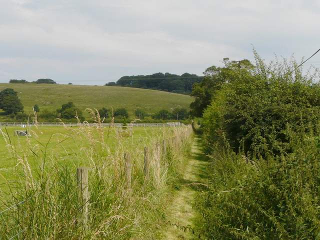
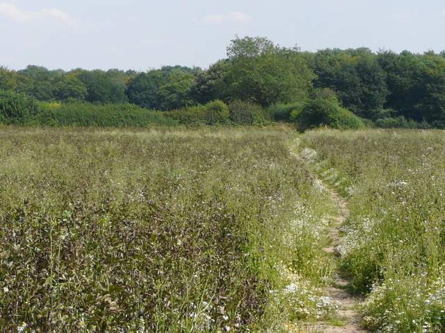
The lane from Dagnall to Studham - the route continues along the edge of the trees
The path to Whipsnade Park golf course
The path to Whipsnade Park golf course
Some youngsters were just starting a round from the tee in front of me, it was obviously some competition so I walked round the back of the tee rather than follow the actual right of way in front of the tee. The path headed across to a thin belt of trees, and continued through it with fairways either side. I went straight on where a post indicated a junction with a bridleway going left (I often take that way to follow the zoo fence to the old lane leading to Whipsnade), and soon went through a hedge gap behind a green to leave the golf course. The path now went half-left through a field that had presumably been left fallow this year (it had a mixture of grass and beans or peas in it), then followed the right edge of a field of beans. I then entered a wood called Mason's Plantation, where I turned left at the next path junction.
The path from Whipsnade Park golf course to Mason's Plantation
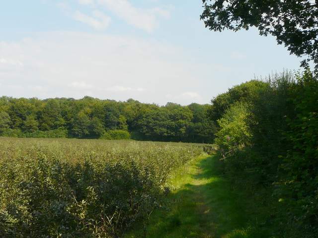
The path from Whipsnade Park golf course to Mason's Plantation
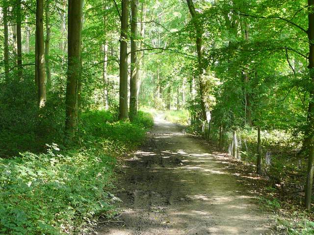
Mason's Plantation
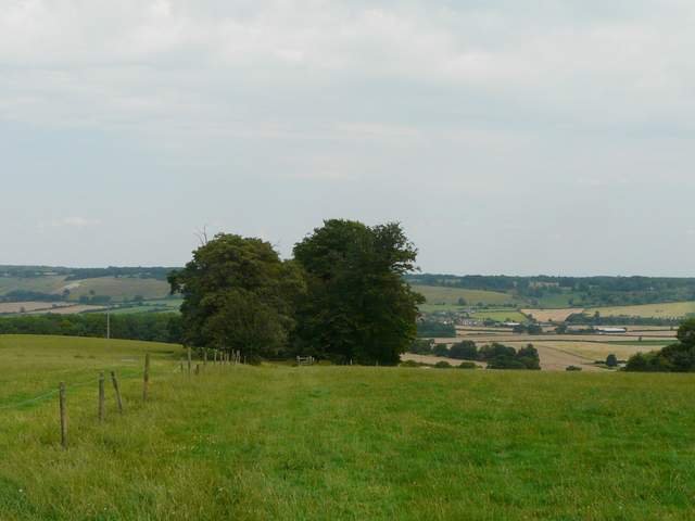
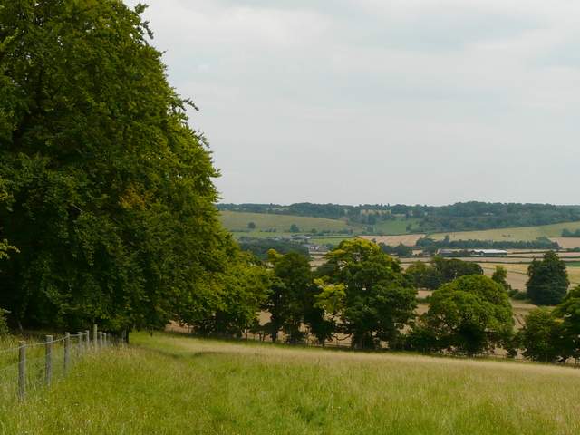
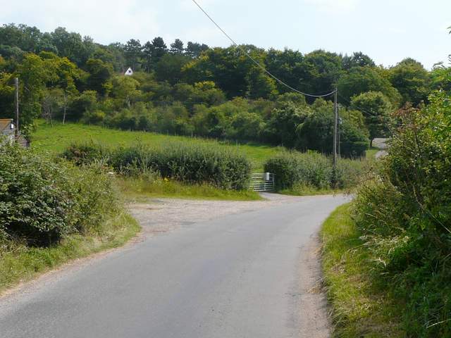
It was when I reached the next path junction, on the edge of the wood, that I decided that I felt fit enough to extend the walk a little. So instead of heading straight on towards Studham church, I turned right and followed a path through what I think was now Church Grove. This led to Church Lane, where I turned right to reach Valley Road, Studham. I turned right again, and followed the road down to the bottom of a valley, where I turned left onto a footpath which took me on past the village school to Studham Common.
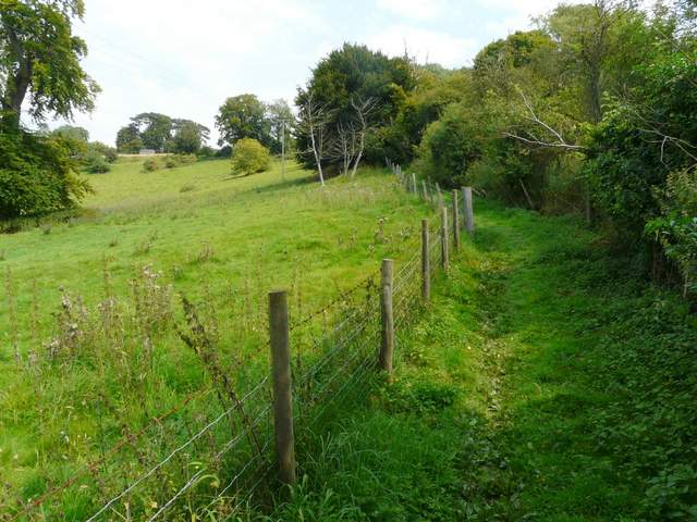
The path through Church Grove
The same path, approaching Church Lane, Studham
The path from Valley road, Studham, to Studham Common