Pete's Walks - Kensworth and Ivinghoe (page 5 of 5)
A hundred yards or so on from the school, I forked right on to a path going slightly uphill through the trees and bushes of this section of Studham Common. I then crossed a road, continuing along the top of the central, grassy, section of the common. Across another road, the path continued along the top of the easternmost section of the common, also grassy (these grassy sections were used for agriculture during World War II). I followed the path as it turned left in the corner of the common, heading downhill to a track in the valley bottom.
Studham Common (the wooded western section)
Studham Common (the wooded western section)
Studham Common (the central section)
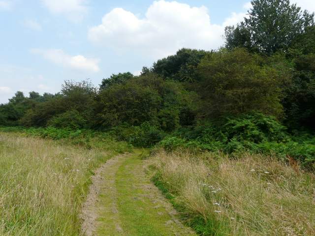
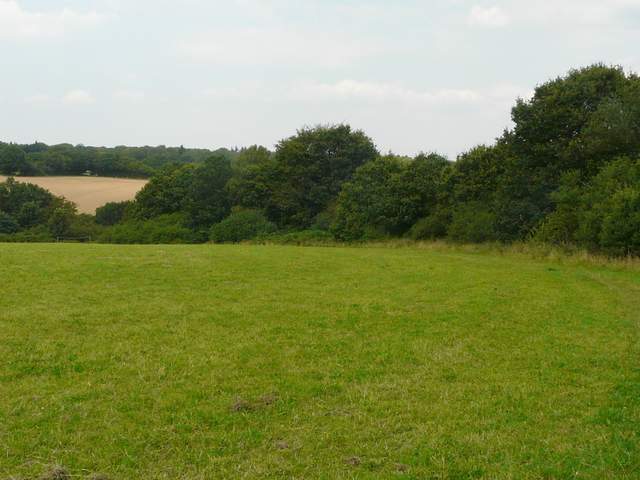
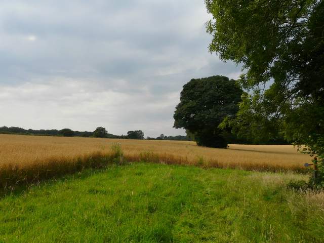
Studham Common (the eastern section)
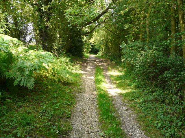
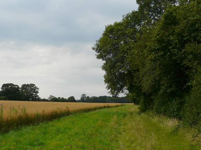
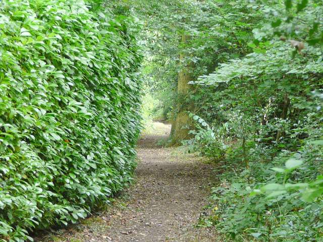
The path descending along the eastern edge of Studham Common
A few yards to the right, the track turned sharp left (initially beside a water works) - it was a 'public byway' rather than a bridleway, and later on becomes Roe End Lane. After a few hundred yards the byway turned sharp right, but I went straight on through a small triangle of trees, then turned left on a path along the southern edge of Byslip Wood. I then turned left along Byslips Road for a couple of hundred yards, before turning right on a footpath (its start is almost invisible until you reach it, it starts with a garden hedge on the left).
The start of the public byway (Roe End Lane)
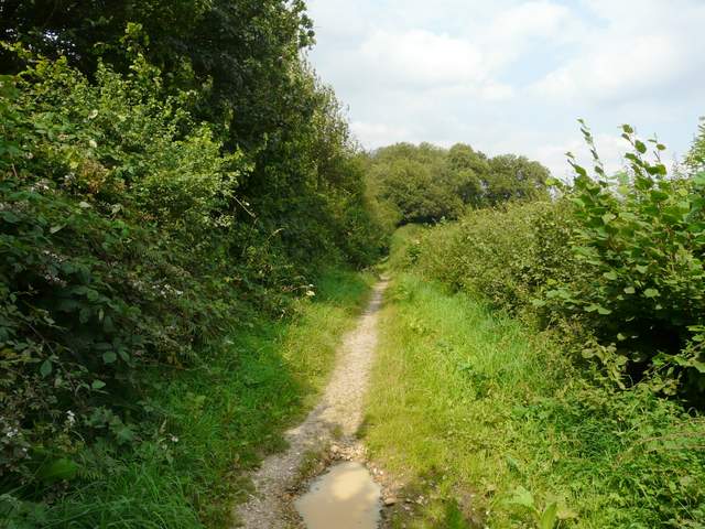
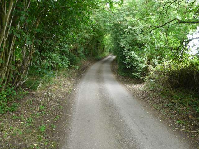
The public byway (Roe End Lane)
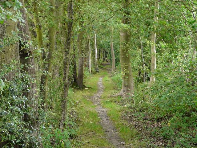
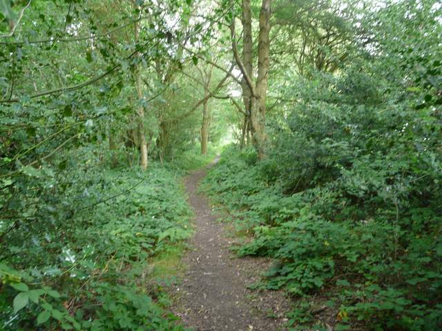
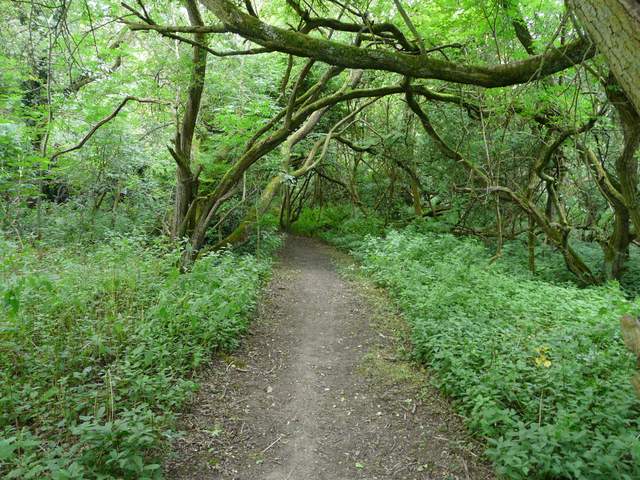
The path through Byslip Wood
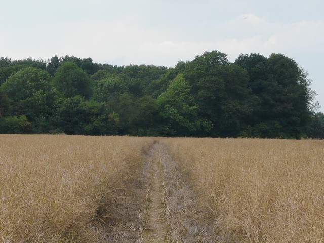
The path ran through a field of oats, passing a solitary tree and then running alongside the edge of a wood on the right. Beyond the wood the field opened out and now contained oil-seed rape (the harvest must be a little later here than near Huntingdon where I work, as most of it's been harvested there now). It's usually a bit of a drag across this very large field, but surprisingly I seemed to cross it quite quickly today. On the far side I passed through a small wood, beyond which I rejoined my usual route as I turned right along a path with the garden fences of part of Holywell on my left.
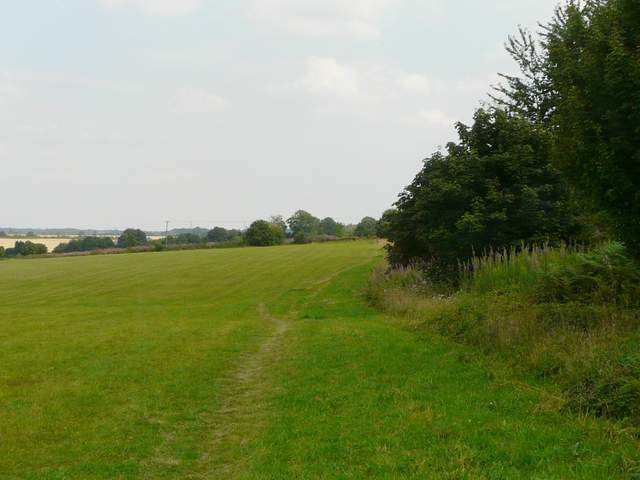
The path from Byslips Road to Holywell
The path from Byslips Road to Holywell
The path from Byslips Road to Holywell
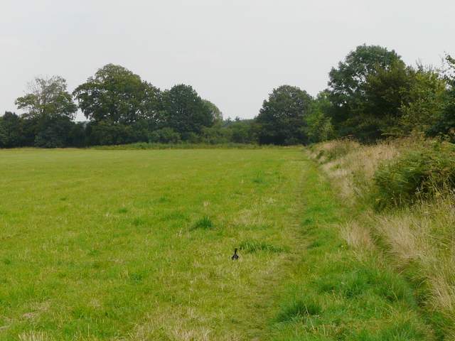
The wood on the edge of Holywell
The path along the edges of gardens in Holywell
The path ended on a valley bottom. Here I went right at a path crossroads and immediately came to Buckwood (or 'Bucket') Lane, where I went a few yards right then turned into Dovehouse Lane. As I reached the boundary walls of Shortgrove Manor Farm, I spotted a Holly Blue butterfly. I then turned right on a path through a small meadow and then across a much larger one (sometimes a meadow, sometimes a sheep pasture) to reach the Whipsnade Road, where I turned right to return to Kensworth.
Dovehouse Lane
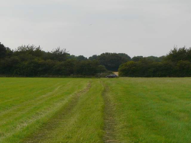
Approaching the Whipsnade Road
This walk was definitely done as a long challenge to finish off the 'Walking for Wellness' competition at work. Even at its normal 17.3 miles it is longer than my usual walks, at the extended distance of 18.9 miles it's the longest I've walked for about three years (my walks seemed to have shortened since I returned to work). However it's a pleasant route anyway (and I'd wanted to do it again for a while). It's relatively flat, only the distance makes it challenging, but it is nicely varied with some good views throughout most of the walk. After all the wildlife I'd seen on yesterday's walk in Oxfordshire, I was a bit disappointed that the only wildlife of note today were the couple of butterflies that I mentioned.
P.S. For anyone who's interested, my team came third in the 'Walking for Wellness' competition. I'm not too despondent, as the winners were three colleagues of mine who'd kindly agreed to support the same charity as me, the Huntington's Disease Association (so thank you Tim, Simon and Stuart, and well done!).