Pete's Walks- Hambleden and Ibstone (page 3 of 4)
Further on, the path entered an area of beech trees. Unusually there were no white arrows on the trees and I began to wonder if I'd strayed from the path. I spotted a Fallow buck here, in the trees to my right. The faint path through the fallen leaves suddenly petered out, but looking around I spotted a post with a waymark which I'd just passed. I went slightly wrong here, going too far right, but heading left I soon picked up a clear path through what were now mainly Ash and Oak trees. This took me to a road at the southern end of Ibstone, where I turned left. I stopped for lunch, sitting on a stile by the start of Church Lane, then took a bridleway starting beside the village school. Initially this was a concrete drive heading steeply downhill to Twigside Farm. The bridleway continued along a track for a short way, before turning right on a narrow path through a wood in the valley bottom (I think the valley is called Twigside Bottom, the name is marked on the map further up the valley in the opposite direction to where I was now going).
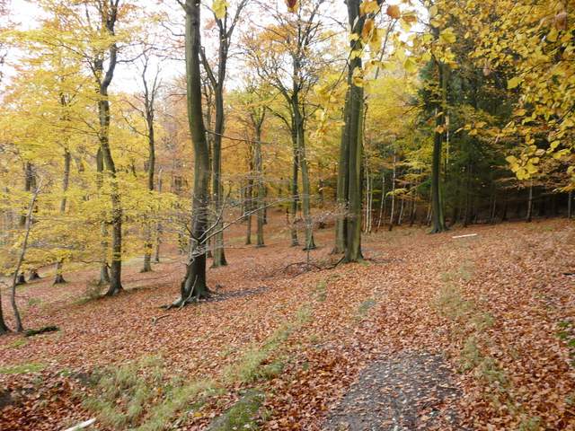
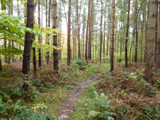
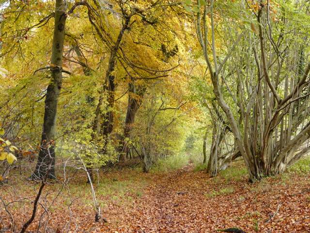
The path to Ibstone
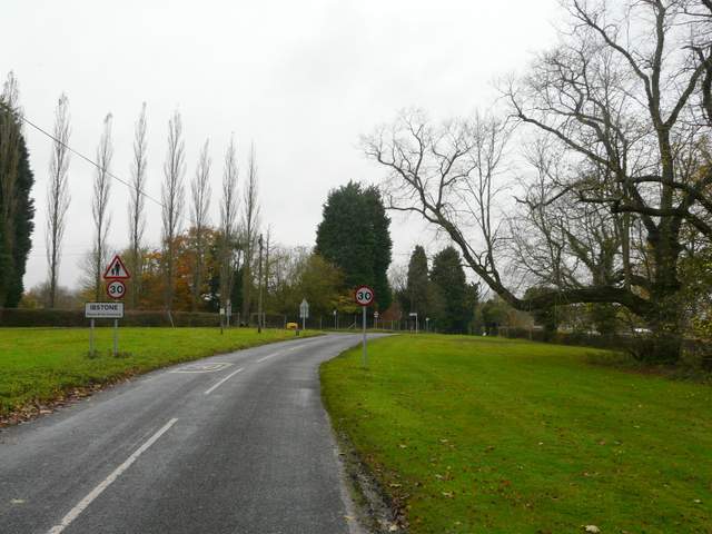
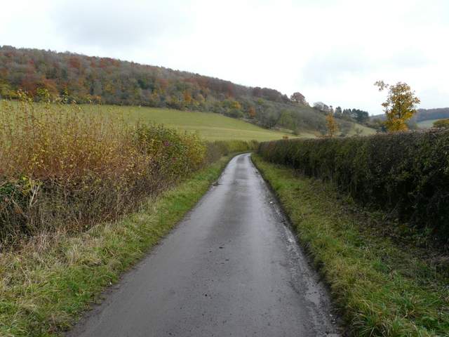
The road into Ibstone (coming from Fingest and Cobstone Mill)
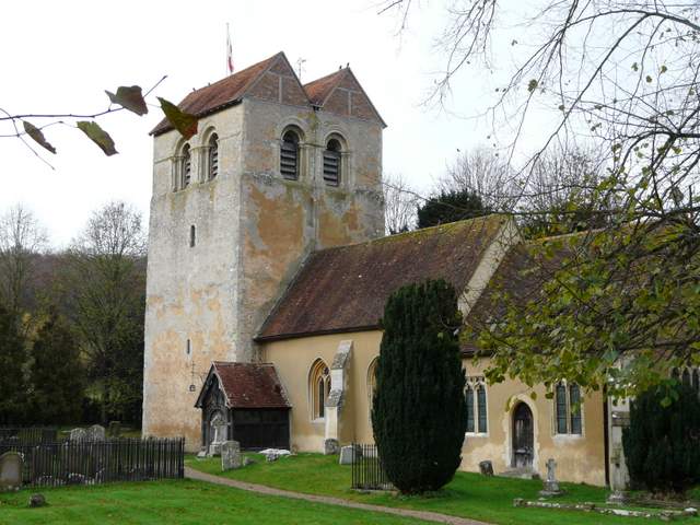
Ibstone is in Buckinghamshire but borders Oxfordshire – at one time the county boundary passed through the parlour of the village’s manor house. The name derives from the Anglo-Saxon “Hibba’s boundary stone”. At the time of Edward the Confessor the village was known as “Hibestanes”. The 900 year old parish church of St Nicholas stands separate from the rest of the village.
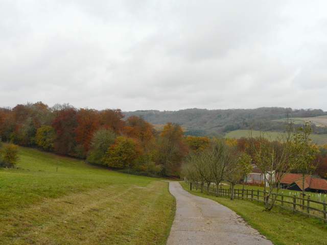
The concrete drive to Twigside Farm, dropping into the valley from near Ibstone School
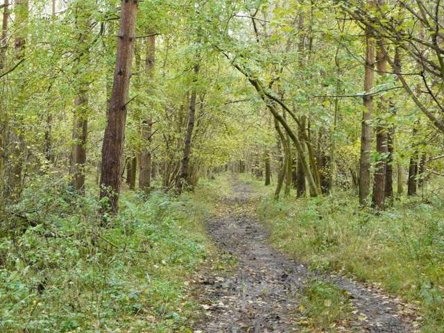
The track continuing from Twigside Farm
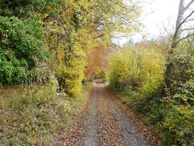
The bridleway continuing from Twigside Farm
The bridleway soon came to a junction where a path came in from the left, the bridleway now heading right and following the valley bottom. Strangely I only took one photograph in the mile-long wooded section here, I can only think that this was because it was rather muddy and I was concentrating on not slipping over. Eventually the wood ended, the path continuing along a hedgerow along the valley bottom, before going through another small area of trees and reaching a lane. I turned right, and followed the lane for half a mile to reach the village of Fingest with its impressive Norman church.
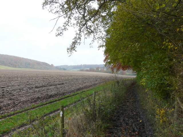
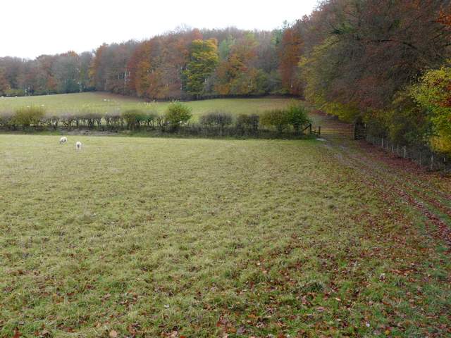
The bridleway continuing along the valley bottom
The bridleway continuing along the valley (Twigside Bottom?) towards Fingest
The bridleway continuing along the valley towards Fingest
The bridleway continuing along the valley towards Fingest
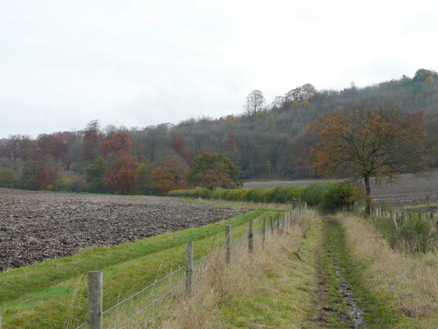
The lane to Fingest (Hanger Wood on top of the slope on the left)
Fingest church
At a road junction, with The Chequers pub opposite me, I turned left, joining the route of the Chiltern Way which I'd now be following all the way back to Hambleden. On leaving the village, I took a path on the right. This followed a right-hand hedge and then a wood through a couple of large sheep pastures, the second one climbing steadily uphill. At the highest point of the field I reached Fieldfare's Stile, dedicated to the memory of a noted nature writer, where I stopped as usual to admire the view back over Fingest to Cobstone Mill.
The path from Fingest to Fingest Wood
The path from Fingest to Fingest Wood
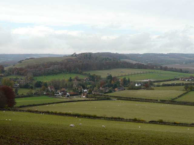
Fingest and Cobstone Mill from Fieldfare's stile (my route from Ibstone had come down the valley on the top right)