Pete's Walks- Hambleden and Ibstone (page 4 of 4)
The path then continued a short distance further uphill through Fingest Wood. It then crossed a field of rough grass to a gateway, and a few yards further on went right, entering Adam's Wood. I followed the clear path as it descended steadily down through the wood for about half a mile, leaving the wood along a hedge-lined track. Still following Chiltern Way signs, I then took a footpath on the right across a couple of sheep pastures, heading towards the village of Skirmett. On the far side of the second pasture, by a white bungalow, I turned left and followed an initially intermittent hedge along another side of the pasture. I then turned right along a lane into Skirmett, taking a footpath on the left after a couple of hundred yards or so.
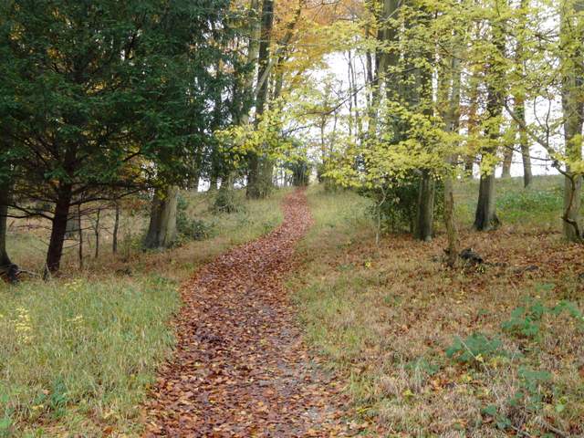
The path through Fingest Wood
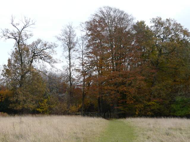
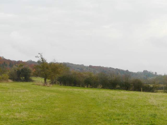
Approaching Adam's Wood

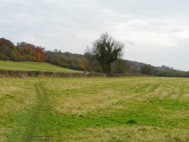
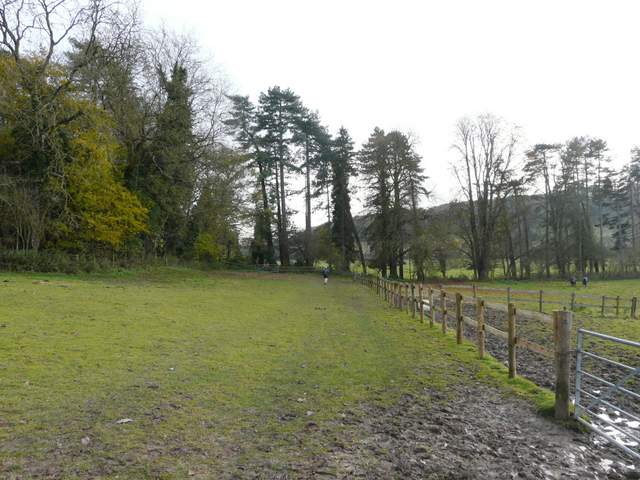
Adam's Wood
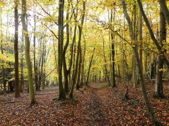
Adam's Wood
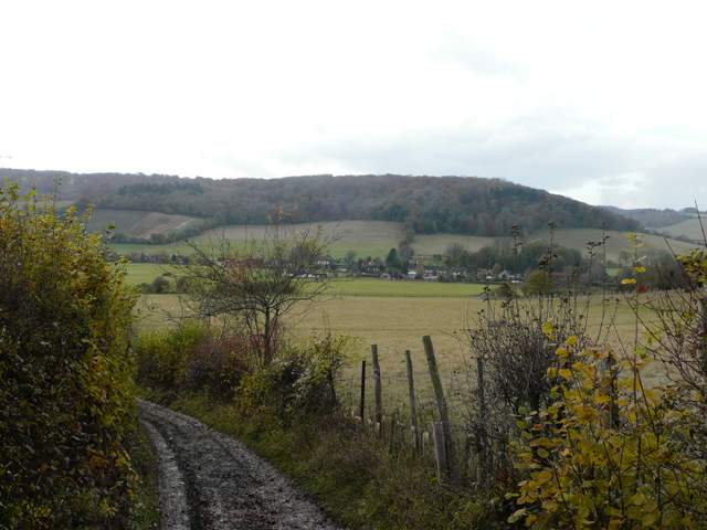
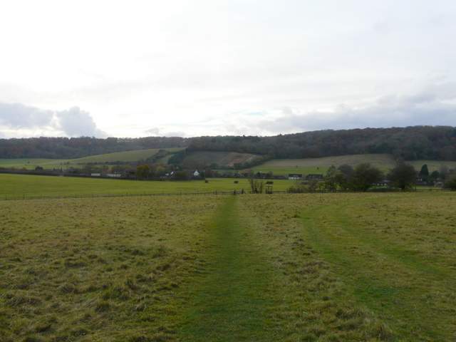
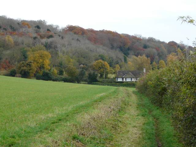
View towards Skirmett
Like nearby Fingest, Skirmett has always been a hamlet within the parish of Hambleden. Unusually for this part of the country, its name is of Norse origin, meaning ‘Shire meeting place’. The popular village pub is called The Frog. It was originally the King’s Head but after it went through a spell when it had a bad reputation (for some reason) it was decided to rechristen it, to mark a break with the past. Apparently the new name was chosen because Skirmett rhymes with Kermit!
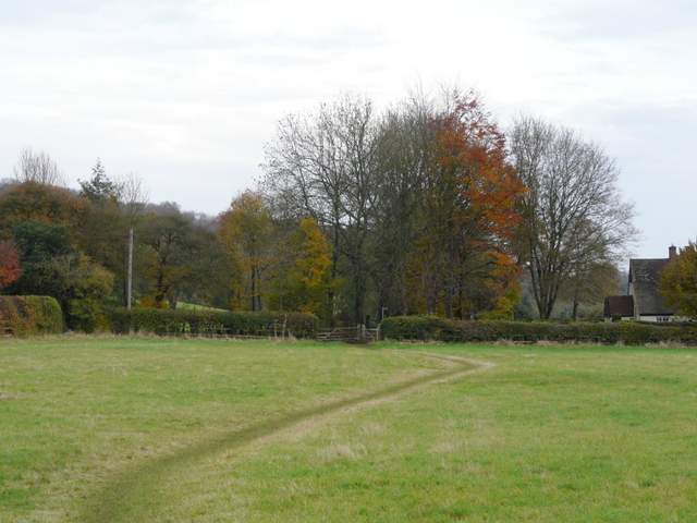
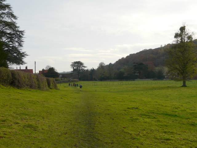
The path to Skirmett from near Adam's Wood
I was now heading south down the Hambleden valley. The new path led through an irregularly shaped paddock or pasture, then followed a fence or hedge with Arizona farm ahead and to my right. Across a farm track the path joined a hedgerow on the left through a large empty pasture, then crossed another pasture to a lane (technically the footpath goes round the edges of this pasture). I crossed a lane, the path then continuing through some trees before following a hedgerow on my right to reach the hamlet of Colstrope.
In my opinion, the Hambleden valley is one of the best areas for seeing Red Kites in the Chilterns. These magnificent reddish-brown and grey birds, with their five-foot wingspan and distinctive forked tail, became extinct in England and Scotland at the end of the 19th century, due to persecution and egg-collecting. Only a few pairs remained in remote mid-Wales. In 1989 a project was launched to re-introduce Red Kites in the Chilterns and elsewhere. Over the next five years around 90 birds from Spain were released in the Chilterns, and the first successful breeding took place in 1992. There are now thought to be over 300 pairs of Red Kites in the Chilterns – the reintroduction here has been so successful, that between 2004 and 2006 94 birds were taken from here to start a new population in the North East of England. Don’t assume all large birds of prey you see here are Red Kites, though, as Buzzards are also doing well in the Chilterns as elsewhere in the country. At a distance they are most easily distinguished from Red Kites by their fan-shaped tail – they also have slightly shorter and broader wings. It is not uncommon to see both birds together.
The path south from Skirmett
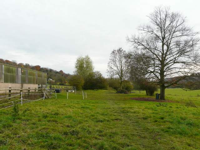
The path near Arizona farm
The path south from Skirmett, just before the lane crossing
Approaching Colstrope
I followed the lane ahead through the hamlet. Just round a turn to the right, a path started on the left, continuing my journey down the Hambleden Valley. It went through a paddock, then continued along a hedgeline, first on the left then the right, through three more pastures or fields to reach another hamlet, Pheasant's Hill. The path continued along an alley between houses and gardens, at the end of which a topiary face had been cut out of the corner of a hedge - it's been there some years, but this year a pair of wellingtons are stuck in it's mouth, as if it's devouring a hapless passer-by!
The start of the path continuing south from Colstrope
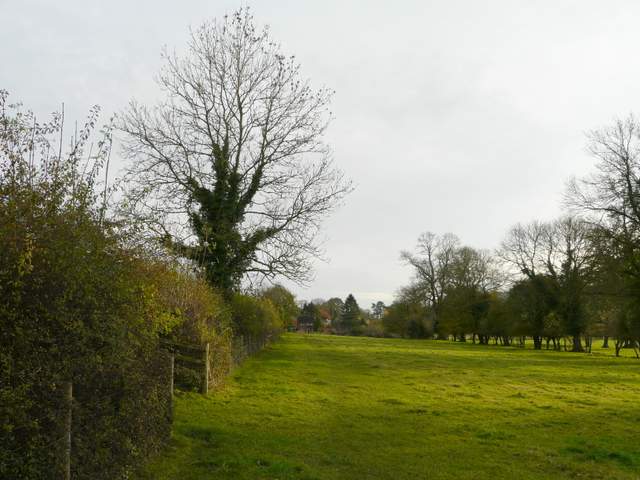
The path from Colstrope to Pheasant's Hill
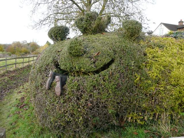
Man-eating hedge, Pheasant's Hill
The path continued through an empty paddock, beside a fence on the right. It continued through two large empty pastures, bearing half-right partway through the second one to reach a lane in Hambleden. I turned left to follow the lane to the centre of the village, and returned to my parked car. The 12.9 mile route had taken four and three-quarter hours, rather slow due to the muddy conditions (and probably also due to my current lack of fitness).
The path continuing south from Pheasant's Hill to Hambleden
The path approaching Hambleden
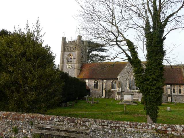
Hambleden Church
Hambleden church is originally Norman, but built on the site of an earlier Saxon church. It has been much changed over the centuries. There is an ancient font that may be early 12th century or even a relic of the Saxon church – it is certainly where the previously mentioned St Thomas de Cantilupe was baptised. In the North Transept is a monument to Sir Cope D’Oyley, his wife and ten children, consisting of alabaster figures in front of a plaque. A few of the figures of the children carry skulls, a sign that they predeceased their parents. In the graveyard is the tomb of W. H. Smith – for many years a church warden here, he was the founder of the stationers that bears his name, an MP and a statesmen, and later the first Viscount Hambleden. His descendants still live in the village.
Despite the generally grey conditions and the very muddy paths throughout, I enjoyed this walk and was in a much happier mood when I finished it than when I set out. The start along the very muddy and puddle-strewn track was inauspicious, but after that there was nothing too bad and I enjoyed the gorgeous Autumn colours and the various sightings of deer. I saw a few Buzzards too, and numerous Red Kites - strangely I had several close up views of Kites perched on trees, posts or fences today.