Pete's Walks- West Wycombe and Fingest (page 4 of 5)
Just past the motorway bridge I'd seen a sign saying shooting was in progress, and as I reached the end of the track at the far side of Leygrove's Wood I came across a shooting party (I reassured myself that I was safe, as the Peasant Shooting season doesn't start until February!). A path continued on through a tree belt linking Leygrove's Wood to Barn Wood, a second tree belt then going on from Barn Wood and turning slightly more eastwards.
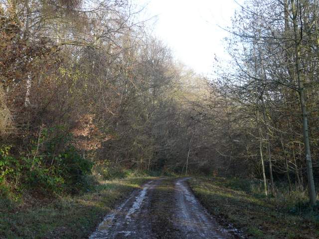
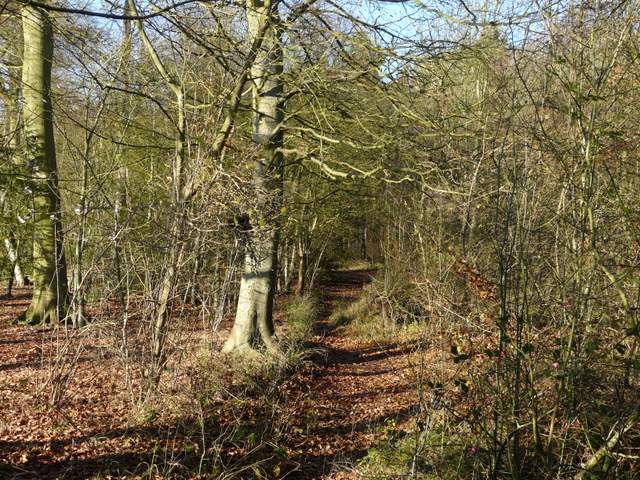
The forestry track, now in Leygrove's Wood
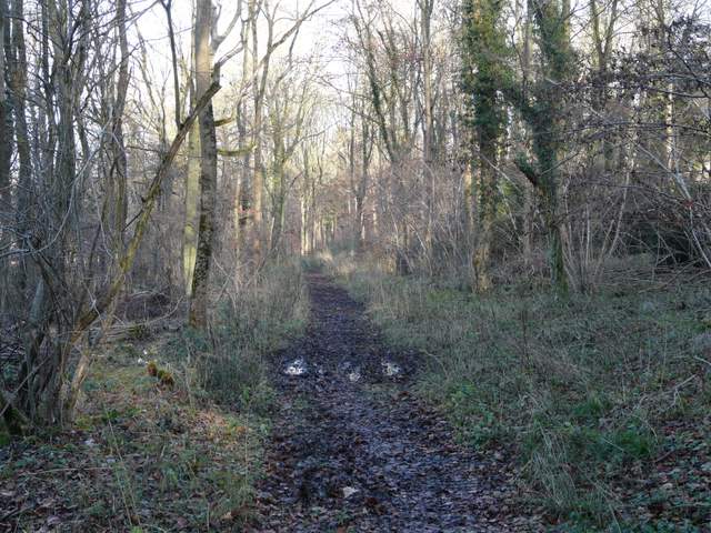
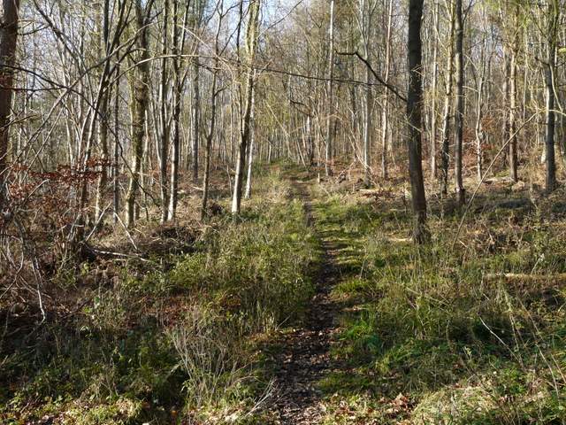
Path from Leygrove's Wood to Barn Wood
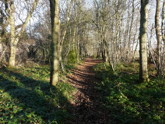
The path beyond Barn Wood
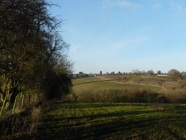
At the end of this second tree belt I turned left onto a bridleway, following a hedgerow on my left to a corner of Fillington Wood. Here the bridleway went left, but a path continued into the wood, heading slowly uphill. I almost reached the A40, but the path then veered left. I reached a path junction close to a corner of the woods where I could see a field ahead and to my left. I turned right at this junction, heading through what was now Thirds Wood to reach the A40 just outside Studley Green.
Approaching Fillington Wood
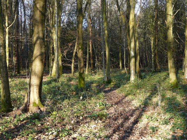
Fillington Wood
Fillington Wood
Thirds Wood
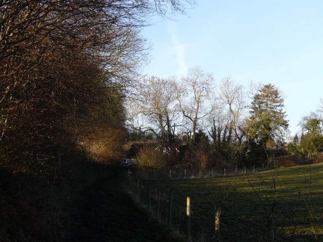
Across the main road, a footpath went through a rough pasture, then went some distance along the edge of a large field of stubble, with nice views to my right across the field and over a valley. The path then dropped quite steeply downhill along the left edge of a sheep pasture. In the valley bottom I passed through the left end of Bottom Wood (a nature reserve managed by the Chiltern Society). The next section of the path followed another valley bottom going straight on, with paddocks on the right rising uphill. This was very muddy indeed - at one point I slipped and had to grasp the top strand of the fence on my right - only to find it was electrified! Doh! There were warning signs and anyway I should have remembered from previous walks here that it was. At the end of the paddocks I turned right and followed a lane uphill through part of Radnage that is called The City.
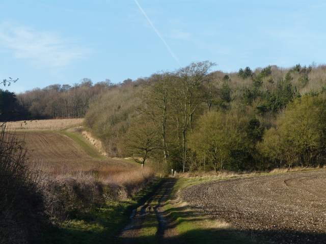
The path north from the A40 near Studley Green
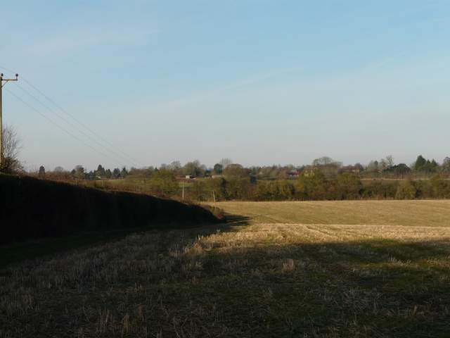
Further along the path from the A40, looking over Bottom Wood towards The City, Radnage
The very muddy path beyond Bottom Wood
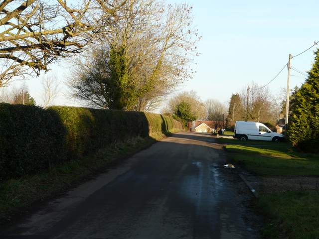
The City, Radnage
At the end of the lane I turned left, then took a path on the right. This was soon following a thick hedgerow on my left steadily downhill into a typical Chiltern Valley, with Bottom Road running through it. I passed through the end of a small wood, and then spotted three metal detectorists at work in the ploughed field on my left . A colleague at work enjoys this hobby and often shows me the interesting coins and artefacts he finds (he reports all his finds, and works closely with local archaeologists - which reminds me, I am very disappointed that the wonderful Time Team is finally coming to an end after about 20 years!). I crossed Bottom Road and started up the steep flight of steps up through the wood on the other side (I met a group of walkers coming the other way at the bottom, a couple of them wished me luck going up!). I remembered this as being steep, and it was, but I got there in the end. At the top of the steps I left the wood and passed a farmyard, then followed the left edge of a sports ground to reach the road through the lengthy village of Bledlow Ridge.
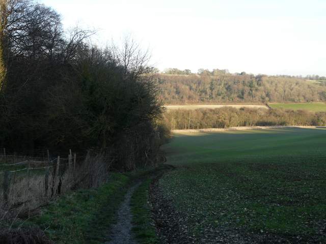
The footpath descending northeast from Radnage down to Bottom Road
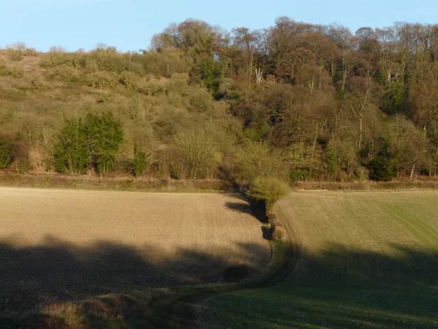
The footpath approaching Bottom Road and the steep climb to Bledlow Ridge
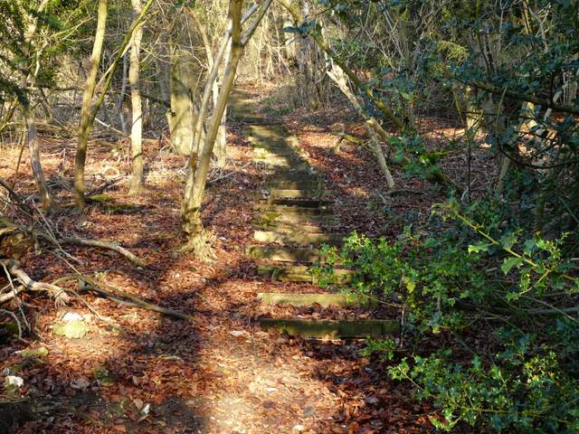
The steps up through the wood to Bledlow Ridge
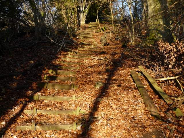
The steps up through the wood to Bledlow Ridge