Pete's Walks- West Wycombe and Fingest (page 5 of 5)
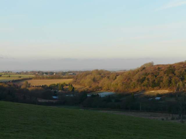
I turned right along the road through Bledlow Ridge, eventually leaving the village and then taking a dead-end lane or drive on the left. From the end of it I continued on a path through a small enclosure and onwards through a large pasture, dropping steadily downhill into another valley. Near the bottom of the hill I passed through another small enclosure to reach Slough Lane. I followed the lane left for a short distance. Just after passing a frozen pond I took a path on the right, going diagonally uphill across another empty pasture. This was the eighth (and final) bit of uphill of the day, and I was feeling a bit tired now. I used the good view looking back and towards another part of Bledlow Ridge as an excuse to pause as I neared the top.
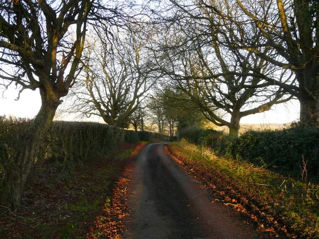
The drive from the Bledlow Ridge road
The start of the path down to Slough Lane
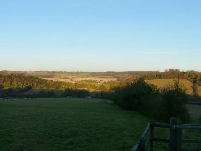
Looking left, towards the Vale of Aylesbury from the path down to Slough Lane
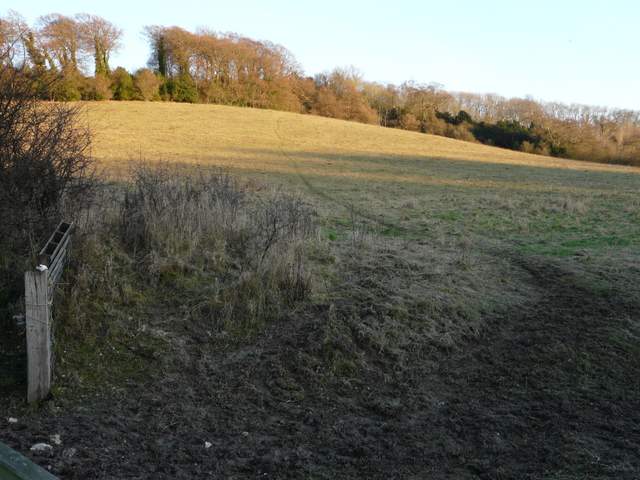
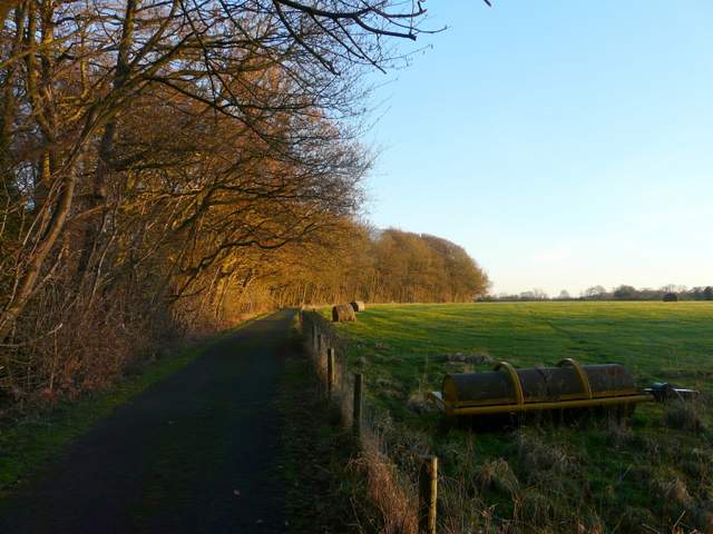
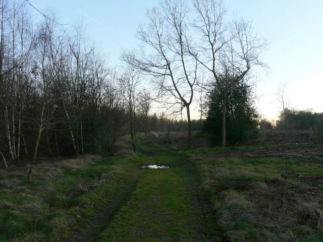
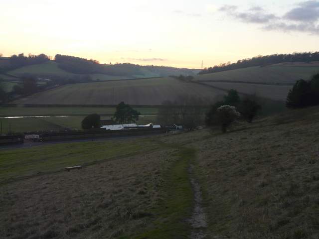
The path from Slough Lane up to Allnutt's Wood
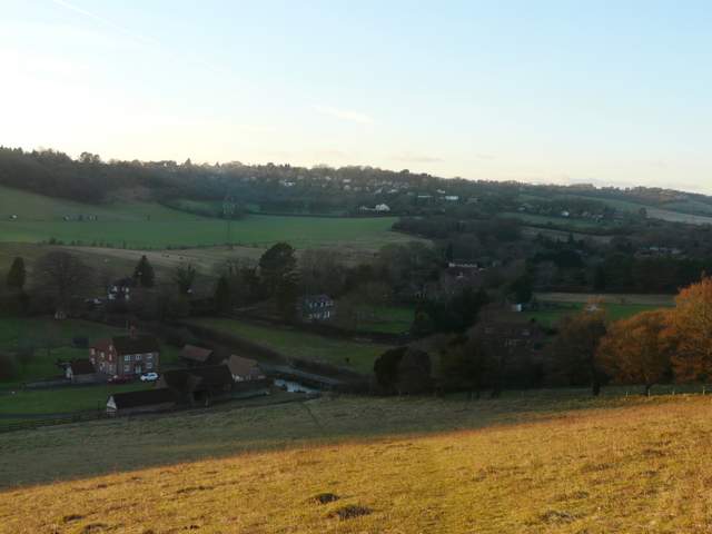
Looking back from near Allnutt's Wood, towards another part of Bledlow Ridge
The path then ran a short way through Allnutt's Wood to reach a surfaced drive. Here I turned right, following the drive for maybe a third of a mile until I reached Nobles Farm. I was trying to hurry now, as the sun was sinking fast and the shadows lengthening. Beyond the farm, a track continued straight on, now in Hearnton Wood. I soon passed a large area of woodland on the right that had been felled since I was last here. The track was wide and easy to follow, but it was very muddy in places.
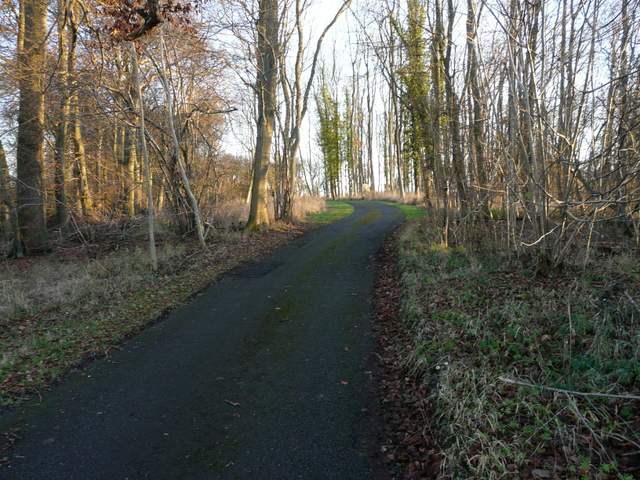
The drive to Nobles Farm in Allnut's Wood
The drive to Nobles Farm
The path just past Nobles Farm
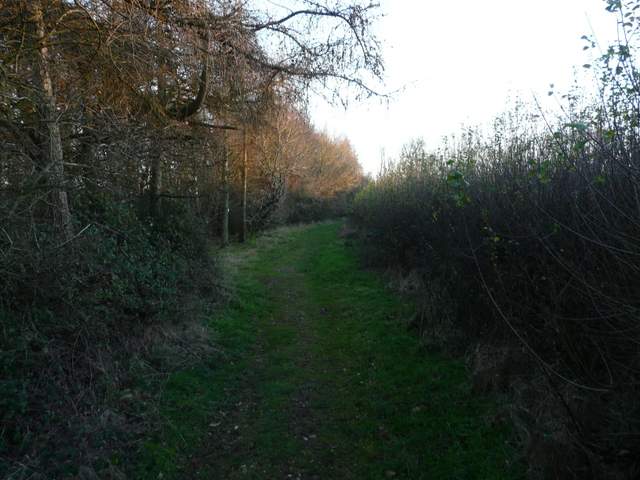
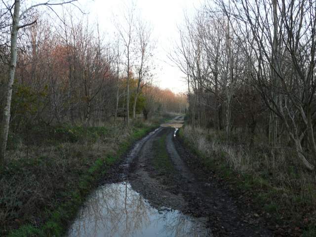
The path continuing south from Nobles Farm, in Hearnton Wood
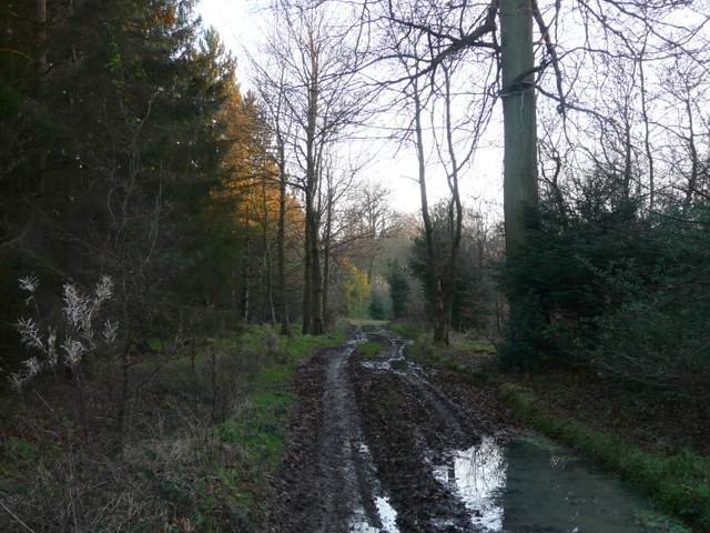
The path continuing south from Nobles Farm, in Hearnton Wood
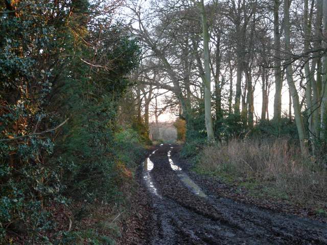
The path continuing south from Nobles Farm, in Hearnton Wood
The path approaching the top of West Wycombe Hill
Eventually the track emerged on a large grassy area with a car park, on top of West Wycombe Hill (actually it seemed shorter from Nobles Farm to here than I remembered). I saw some people taking photos of the sunset, and I followed their example. A path took me round to the right of the impressive St Lawrence's church to the equally impressive Dashwood Mausoleum. I started down West Wycombe Hill, heading towards the A40 stretching out before me towards High Wycombe, but then turned right on a path that initially went steeply down wooden steps (my knees were really painful here, somewhat worryingly). The path passed some Yew trees and continued more gently down the hillside to reach the road opposite the car park where I'd started.
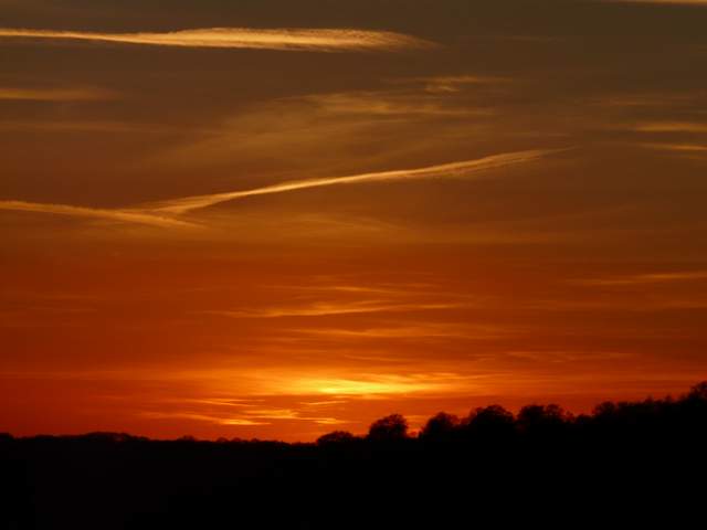
Sunset from West Wycombe Hill (it was nowhere near as dark as this, but I do like what the 'sunset' setting on my camera does!)
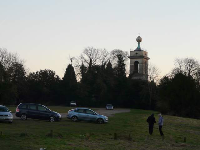
St Lawrence's church on West Wycombe Hill
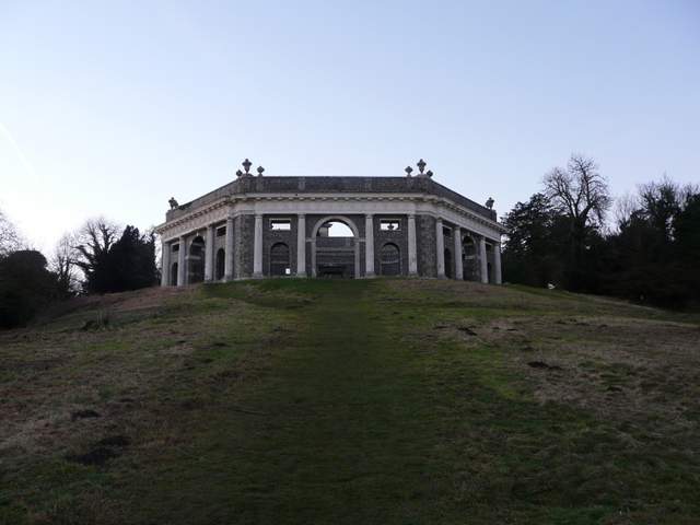
Unsurprisingly, West Wycombe lies to the west of High Wycombe. It is a very attractive village with many fine buildings from the 16th to 18th centuries dotted along the A40, the old London-Oxford road. The village was sold to the National Trust in 1929 by the Dashwood family, who needed to raise money after the Wall Street Crash. The Italianate West Wycombe Park was built for Sir Francis Dashwood in the middle of the 18th century. The church, also 18th century, stands on top of West Wycombe Hill and is a prominent landmark – the golden ball at the top of the tower seats eight people, and gives panoramic views. The hilltop was once the site of an Iron Age hill fort, and as well as the church it is now surmounted by the Dashwood family mausoleum, inspired by the Coliseum in Rome. At the foot of the hill are the Hellfire Caves – thought to be of ancient origin, they were extended by Sir Francis Dashwood in the 1740’s and later used as a meeting place for his notorious Hellfire Club.
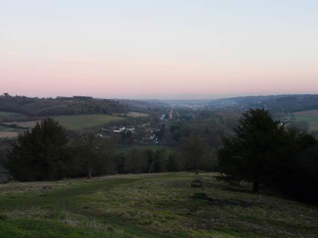
From the Dashwood Mausoleum on West Wycombe Hill, looking along the A40 into High Wycombe
Looking back to the Dashwood Mausoleum (taken from about the point where I turned right)
The path down from West Wycombe, heading straight back to the car park
This was my first walk for three weeks - I've had serious problems sleeping recently, and was just too tired the last two weekends. It felt really good to get out again, and I enjoyed the walk despite the often muddy conditions. I'm staggered that it's almost two years since I started a walk in West Wycombe (I've double-checked my Walks Diary entries for the last two years), there are several good walks from here. It was a slight disappointment that the day started out misty, but from Lane End onwards I was walking in glorious sunshine, it made for a very good walk. A few sections of the walk I'd not done since I did this walk in the opposite direction over four and a half years ago, and so it was interesting to see them again. The route was certainly more up and down than I remembered, but other than the two hills near the end either side of Bledlow Ridge, the uphill sections were reasonably spread out throughout the route.