Pete's Walks- Chalfont St Giles and Old Amersham (page 1 of 4)
If you are considering walking this route yourself, please see my disclaimer. You may also like to see these notes about the maps and GPX files.
Google map of the walkDownload GPX file of the walk
I did this roughly 11.2 mile circular walk on Tuesday, 1st January 2013. It was Walk 9 of my Chiltern Chain Walk, done in the opposite direction (anti-clockwise).
Happy New Year! I just hope 2013 is better weather-wise than 2012, which I thought was a dismal year for walking. The new year certainly got off to a great start, as there was hardly a cloud in the sky throughout this New Year's Day walk.
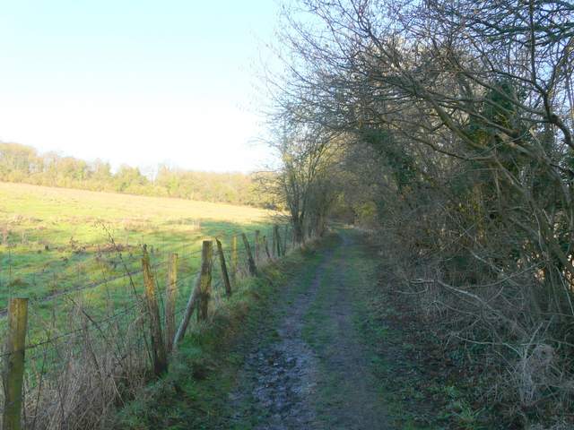
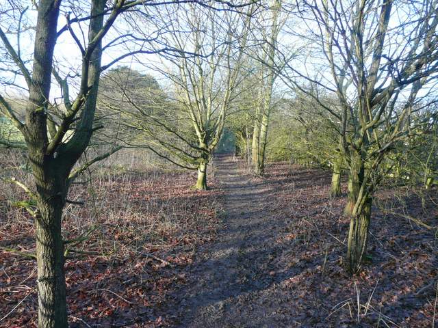
I parked in the village centre car park in Chalfont St Giles (it was free parking today as it was a Bank Holiday) and started walking about 9.55am. I turned right from the car park into the the village centre and, maybe a hundred yards from the duck pond, I took a footpath on the right that headed north along a private drive - there were signs or waymarks to remind me that initially I was following both the Chiltern Way and the South Bucks Way. After passing a number of large residences, the drive (now just a muddy track) started curving left but the footpath continued ahead through trees. Beyond the trees there were some young cattle in the pasture behind a fence on my right, and then I reached Mill Lane at a bend. I went straight on and when the lane turned left after a hundred yards or so I went straight on. The path, continuing northwards through the Misbourne Valley, passed an empty pasture on my left, then entered a long belt of trees. There were more pastures just to my right. At the end of the tree belt, the path continued along a wide gap between the wooden fences of some paddocks. Through a gate, it continued along the bottom edge of a large field stretching uphill on my left, with a few horses grazing some distance away.
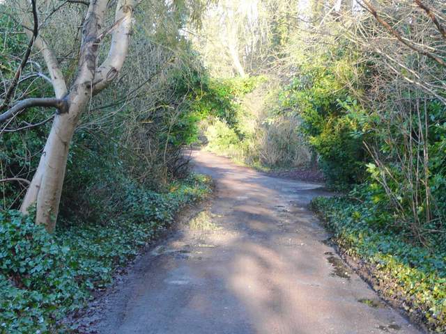
The private drive going north from the centre of Chalfont St Giles
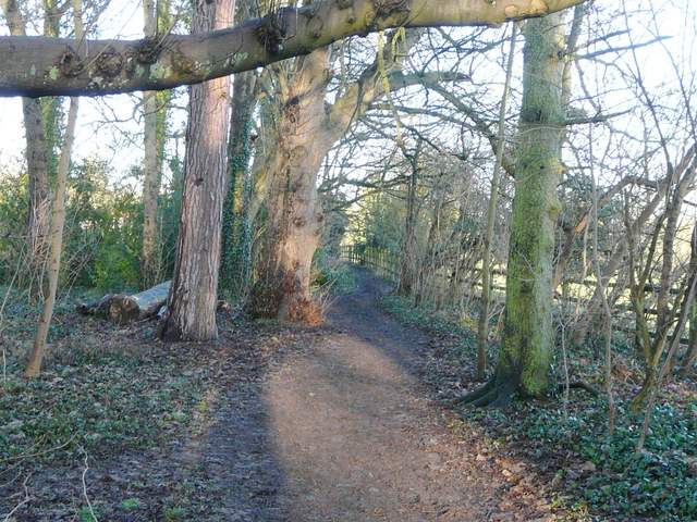
The path that is the continuation of the private drive, still going north along the Misbourne valley
The path continuing just north of Mill Lane
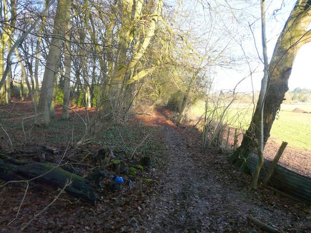
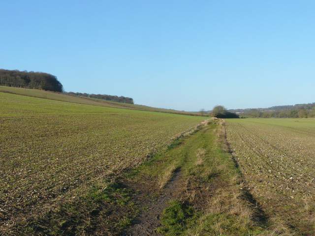
The path going north through the Misbourne valley
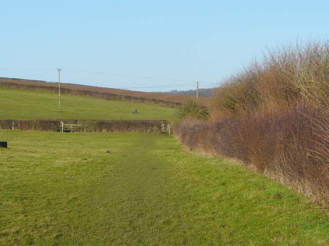
Approaching Bottom House Farm Lane
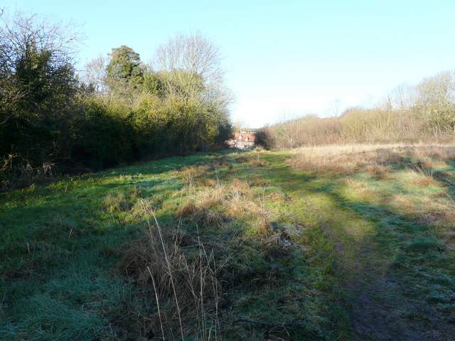
I crossed over Bottom House Farm Lane (which I'd re-cross later) and continued through another paddock. The path and the valley now curved more north-westward, as I followed the edge of a large ploughed field sloping uphill on my left, soon with a tall hedge on my right. There was some noise from the nearby main road, but it wasn't too bad at all today. Beyond the hedge the path continued along a grassy track between more ploughed fields. When I reached a corner of a hedge on my left, a muddy path went half-right across a field to reach the river Misbourne.
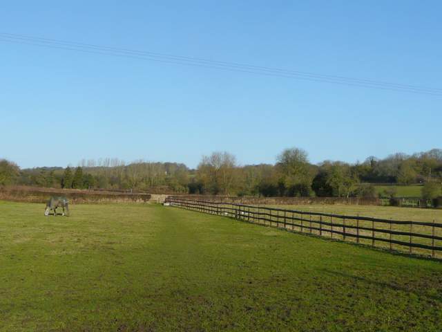
The paddock north of Bottom House Farm Lane
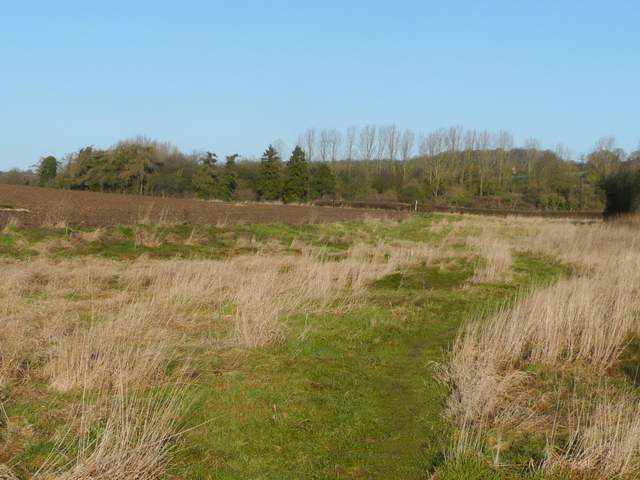
The path continuing along the Misbourne Valley
The path continuing along the Misbourne Valley
The path continuing along the Misbourne Valley (the wood on the left is Rodger's Wood, which I would pass through a bit later on)
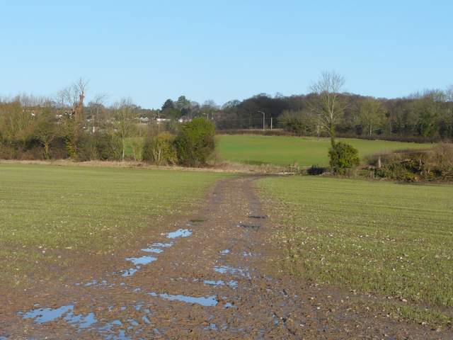
The muddy path across a field to the river Misbourne
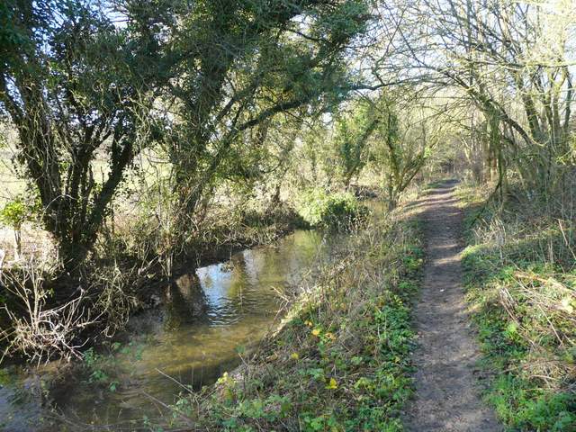
Across a bridge I turned left alongside the small river, and continued north-westwards along the valley. The river was hidden from view by a hedge for some while, but then came a short stretch where I walked beside the river, with tall hedges forming a green tunnel over the river and path. I went under a bridge carrying the A413, then passed through an area of young trees before following the edge of a meadow to reach a road on the edge of Amersham Old Town. I turned left for a short distance, then went right at a roundabout. After a short distance a path went left, soon running close to the Misbourne with another ploughed field sloping up on my right (the Martyr's Memorial was near the top of the hill). The path stayed by the river as I passed a cemetery on my right. I then turned left across a brick bridge to reach the churchyard around the impressive Amersham church.
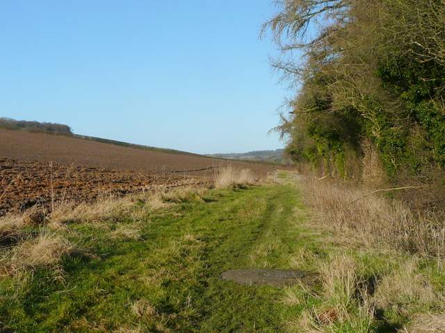
The path alongside the Misbourne, heading towards Amersham Old Town
The path alongside the Misbourne, heading towards Amersham Old Town
The path alongside the Misbourne, heading towards Amersham Old Town
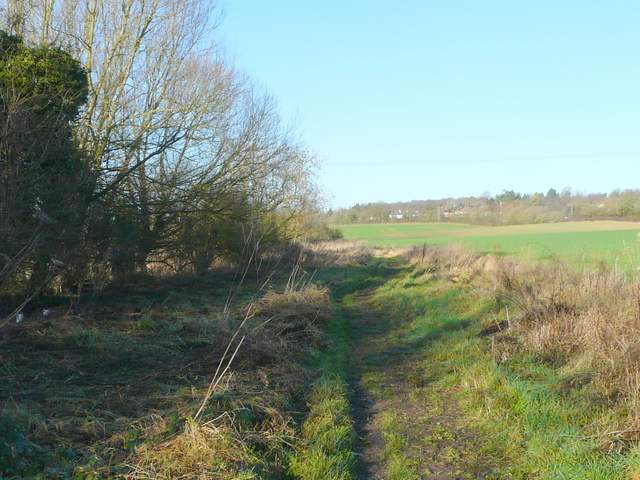
The meadow, just before I reached Amersham Old Town
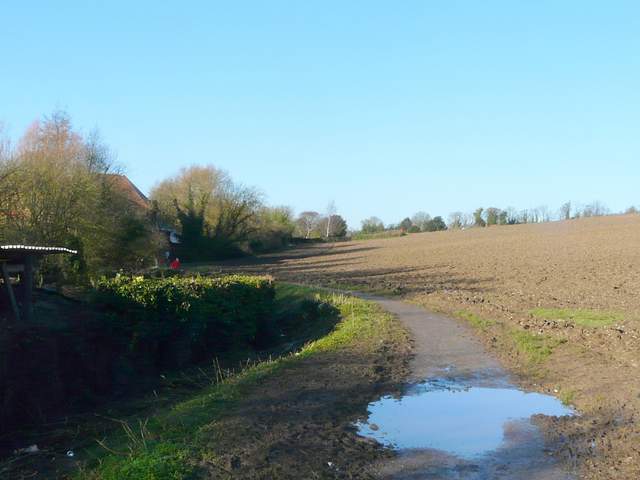
The path beside the Misbourne - Tesco is left, across the river, the Martyr's Memorial is at the top of the hill on my right
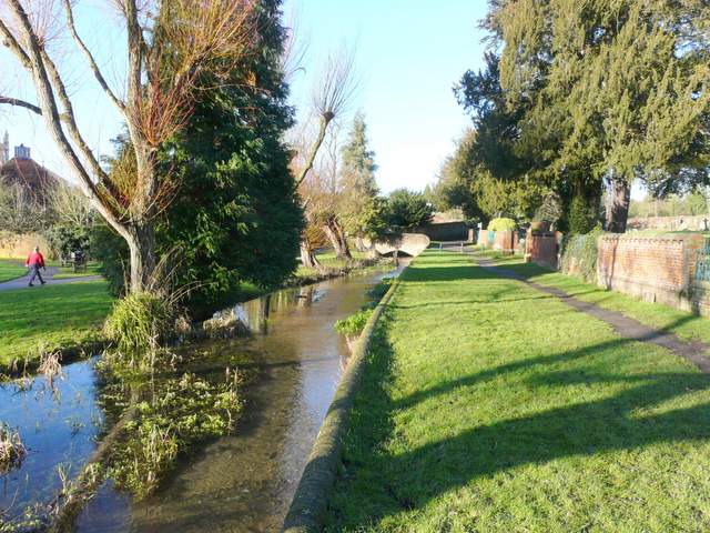
The river Misbourne in Amersham Old Town, beside the cemetery